
.jpg)
.jpg)
.jpg)
.jpg)
.jpg)
Red Mountain Trailhead
Flagstaff, Coconino County, Arizona. Trail.
Details

- Where
- Flagstaff, Coconino County, AZ. No street address stated. Directions
- When
- About 30 mins one way.
- Getting there
- Head northwest on U.S. Highway 180; about 25 miles from Flagstaff (at milepost 247 along the shoulder of the highway), turn left at a large Forest Service sign that announces the Red Mountain Geologic Area. Drive about a quarter mile on the dirt road to a parking space at the trailhead.
- Hours
- Monday-Friday, 8 a.m. - 4 p.m. (Closed on federal holidays).
- Access
- No overnight camping; dogs must always be on a leash, and owners must pick up after their pets.
- Phone
- 928-526-0866
- Managed by
- USDA Forest Service, Coconino National Forest.
- Coordinates
- 35.5230589, -111.8754372.
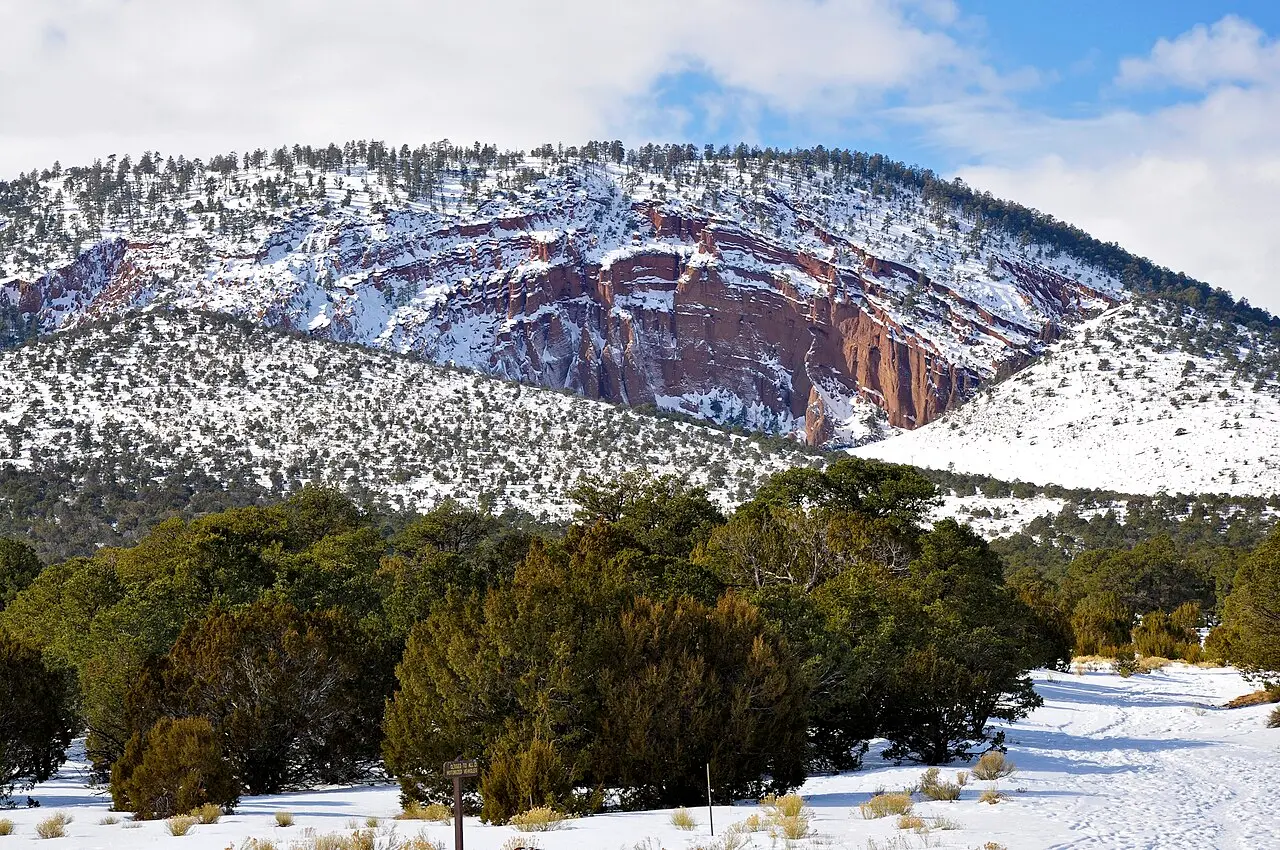
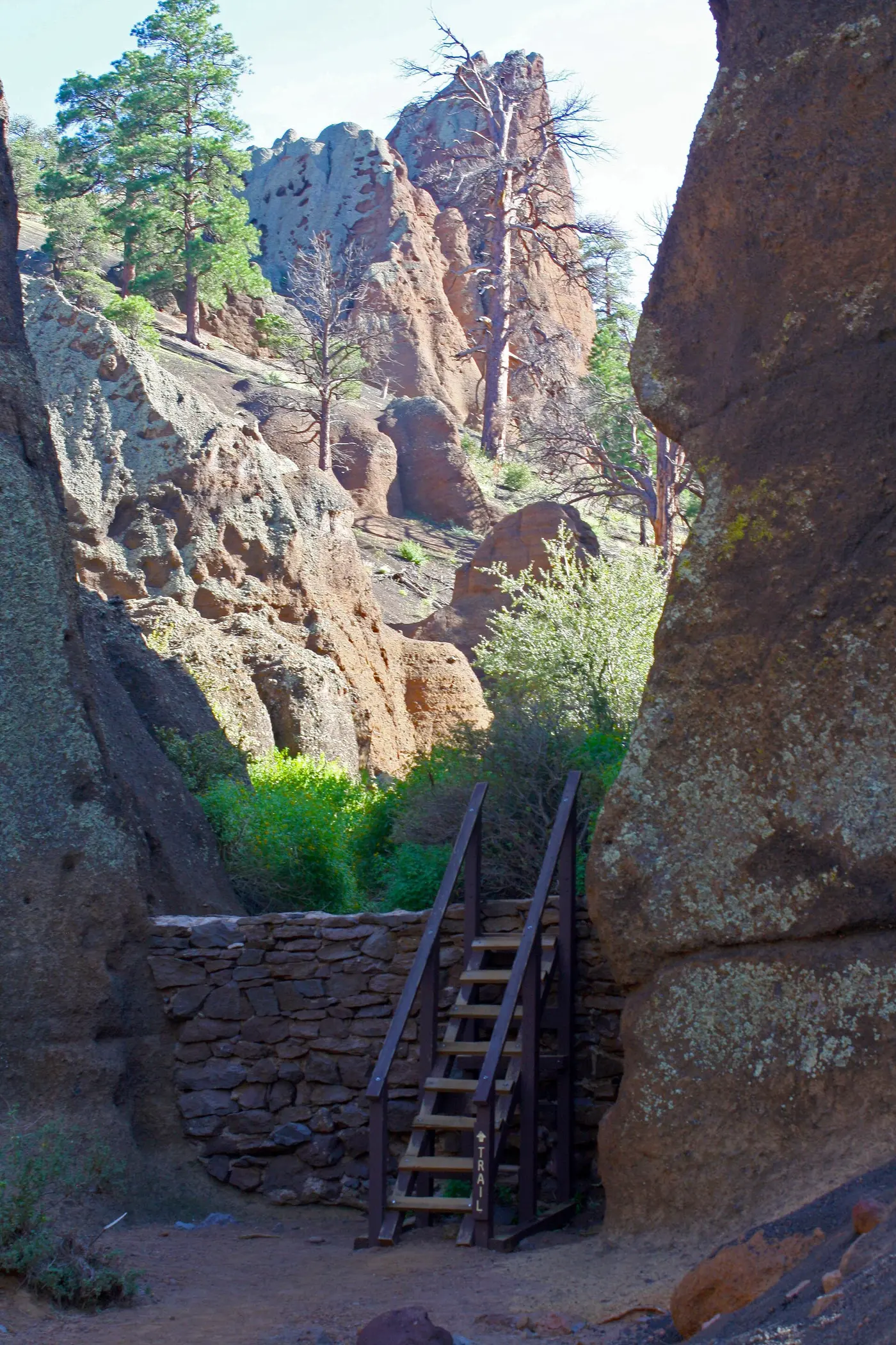
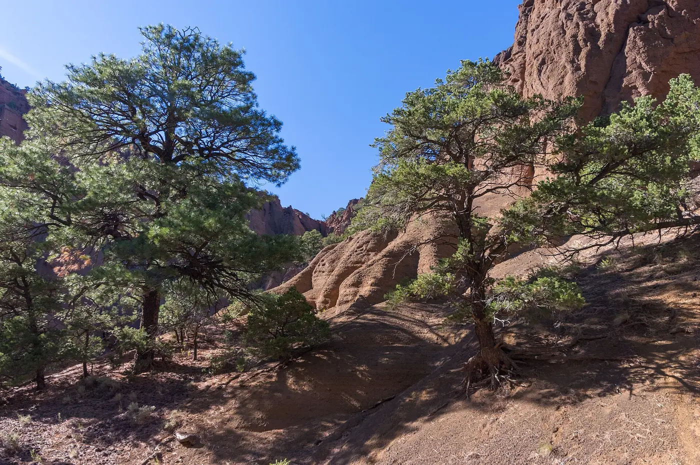
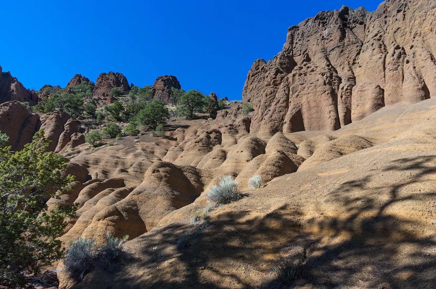
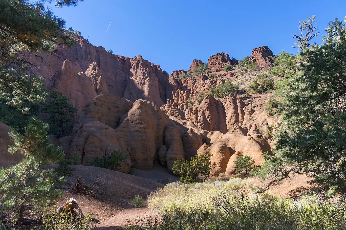
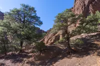
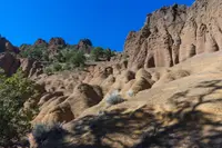
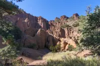
Volcanic cinder cone that rises 1,000 feet above the surrounding landscape, in the shape of a 'U' with a large natural amphitheater cutting into the cone's northeast flank.