Natural Bridge Falls Trailhead
Big Timber, Sweet Grass County, Montana. Picnic Area; All Year.
Details

- Where
- Big Timber, Sweet Grass County, MT. No street address stated. Directions
- When
- Day use only: open sunrise to sunset.
- Getting there
- 25 miles south of Big Timber on US 298.
- Fees
- No fees are required for this site.
- Access
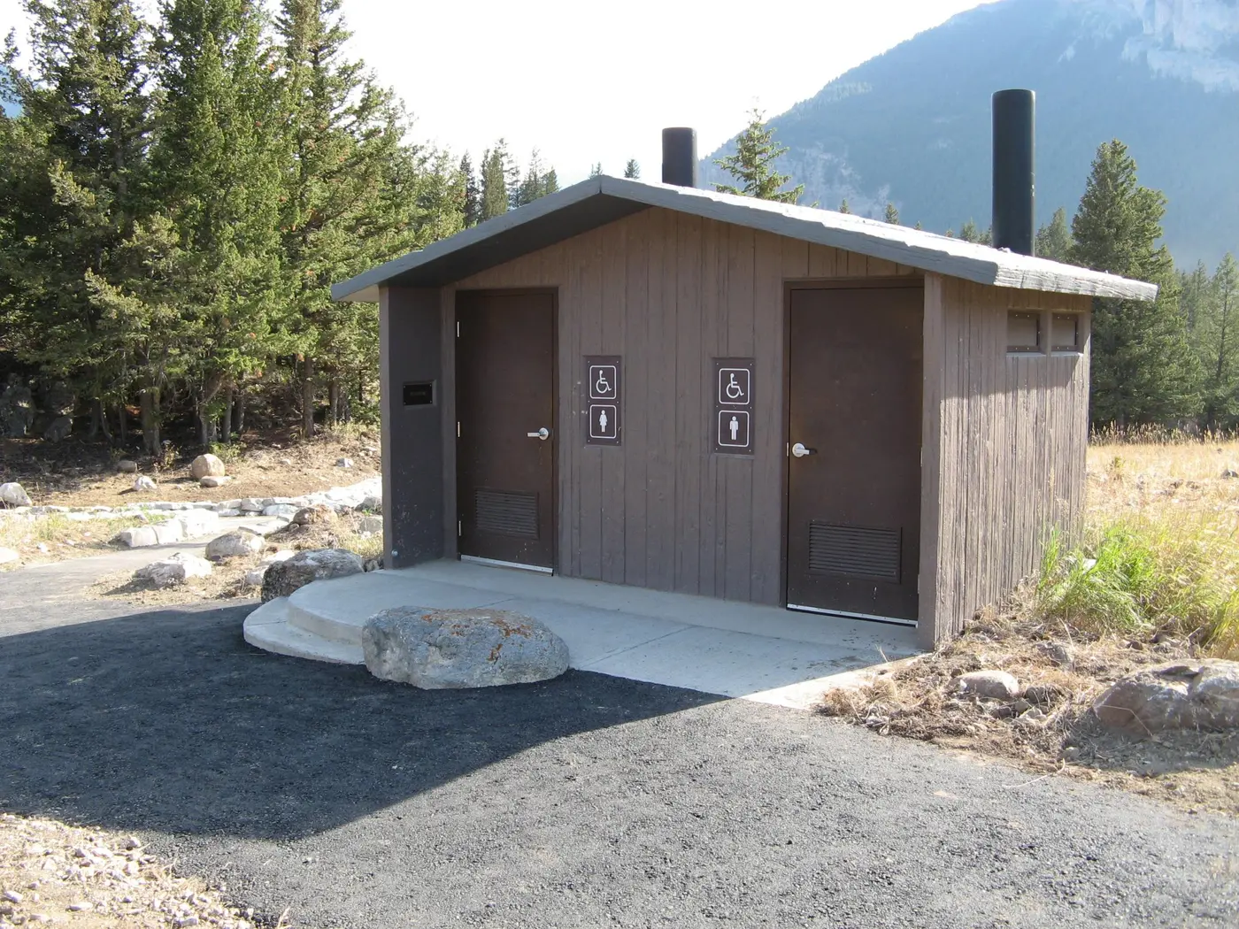
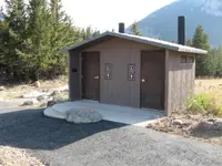
- Open Parking. No overnight camping. Day use only. Vault toilet(s). Potable water is not available at this site.
- Phone
- 406-587-6710
- Website
- fs.usda.gov
- Managed by
- Custer Gallatin National Forest, Yellowstone Ranger District.
- Coordinates
- 45.549628, -110.20614.
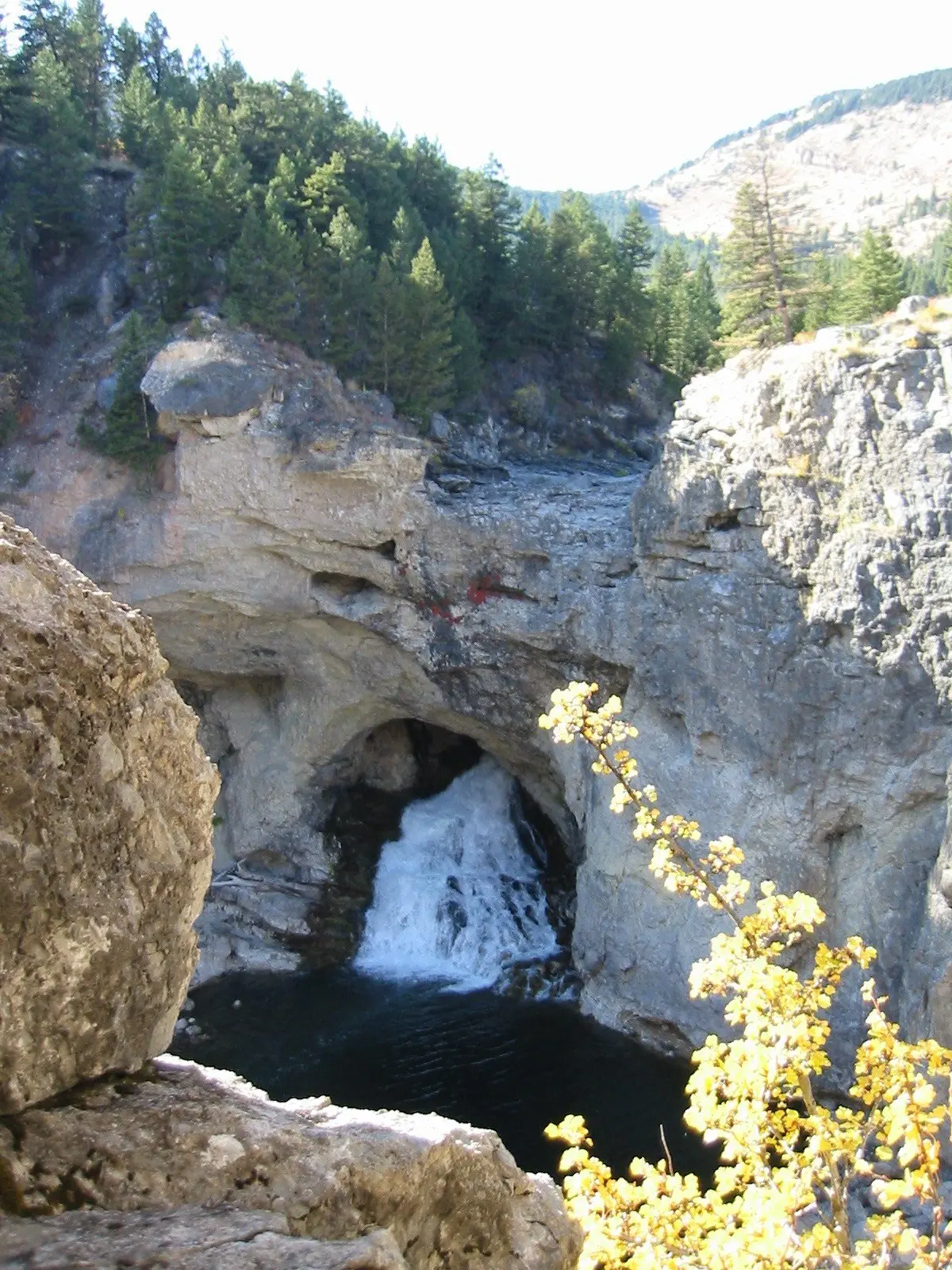
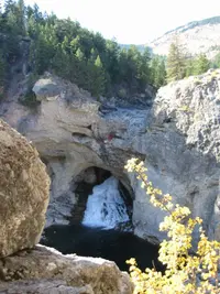
The first overlook stands a few feet from the parking lot. From its rail the Boulder River shows below in a gorge of gray limestone. On most days of the year it runs into a hole in its own bed short of the falls’ lip and comes out again from the rock below.
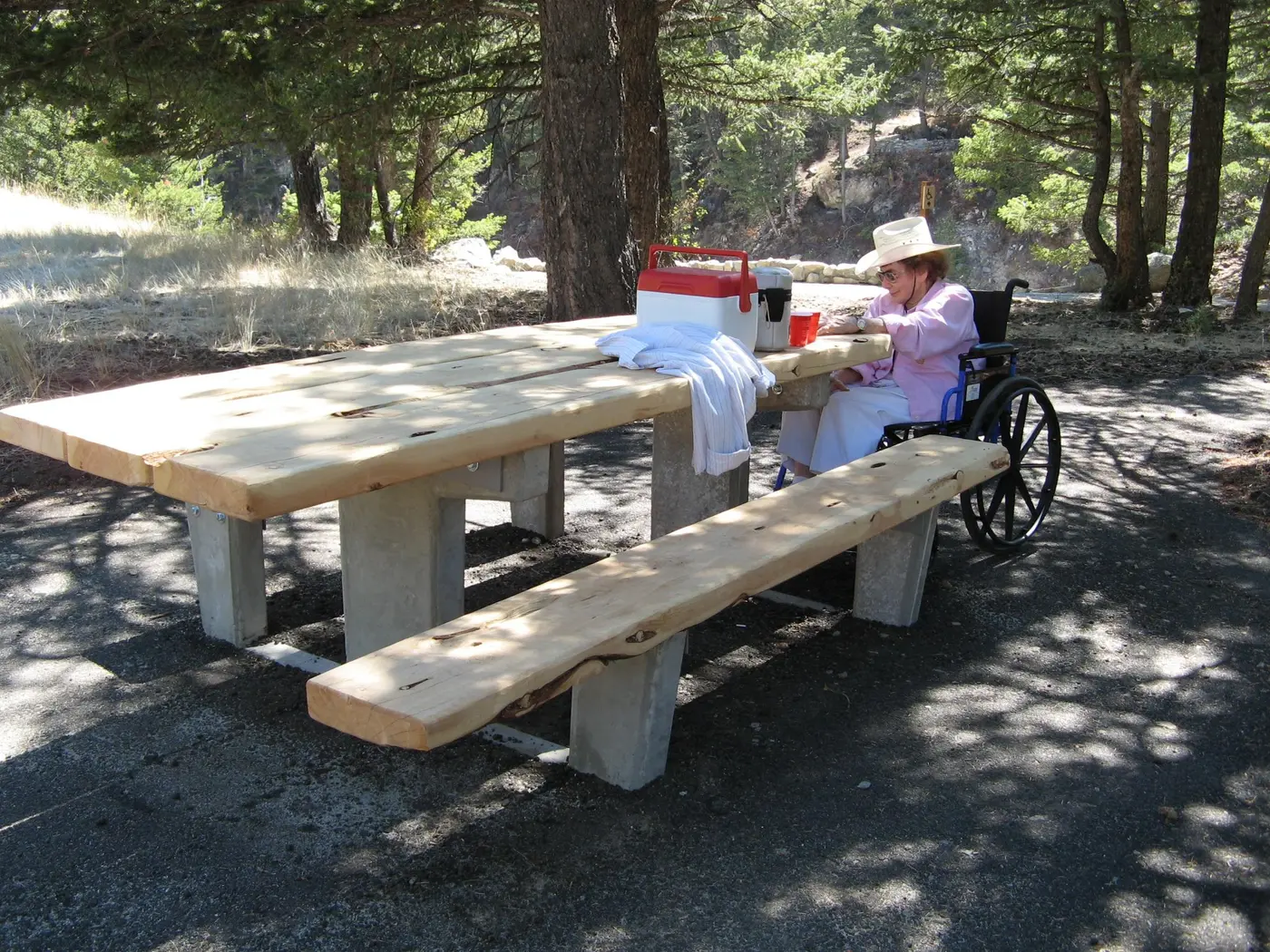
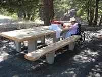
The Natural Bridge Falls Picnic Area belongs to the Yellowstone Ranger District of the Custer Gallatin National Forest. It lies 25 miles south of Big Timber on Highway 298, the Main Boulder Road, 10 miles past the town of McLeod. There are two picnic sites with tables and benches, and vault toilets. There is no drinking water, no firewood, and no trash pickup. The area is open all year from sunrise to sunset, with no overnight camping. Across the road stands the Main Boulder Ranger Station, built in 1905. The Billings Gazette counts it among the oldest structures in the Forest Service’s system and reported it open for public tours Friday through Sunday.
The Main Boulder runs about 60 miles. On its upper half, the Gazette’s Brett French wrote, it comes “rocky and rough” out of the meeting of the Beartooth and Absaroka mountains. On its lower half it moves through farm fields and cottonwood bottoms to the Yellowstone River at Big Timber. French placed the dividing point between the river’s “two personalities” here.
The paved loop and the East Rim Trail
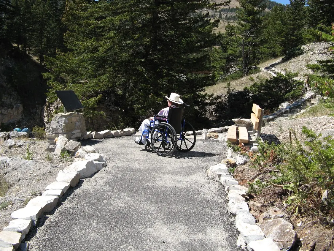
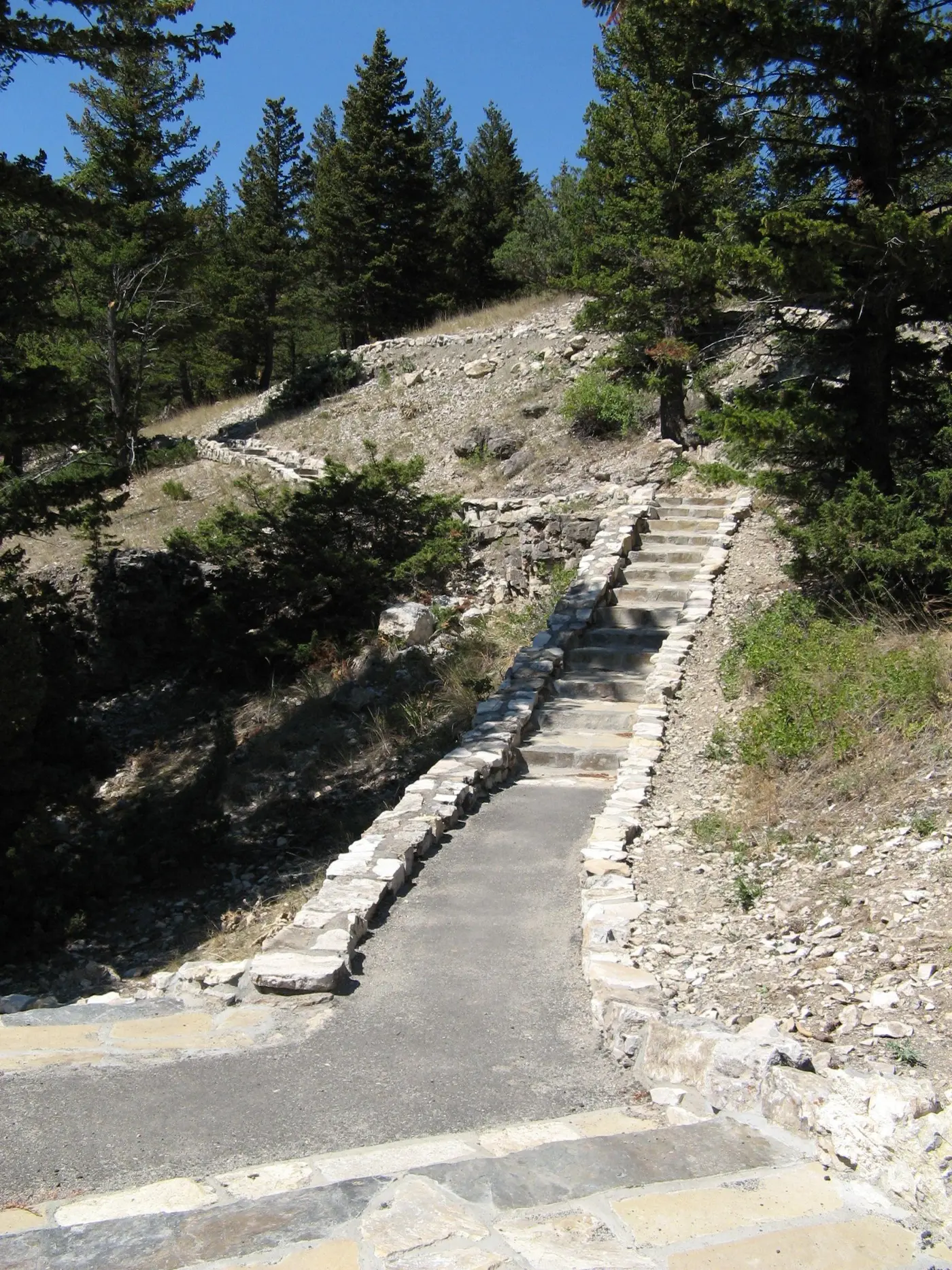
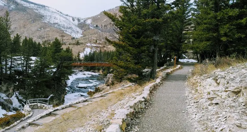
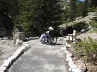
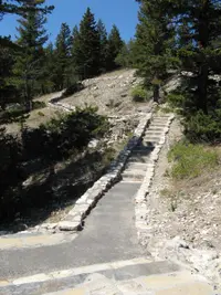
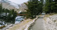
A trailhead map marks a split in the pavement. In Robert Stone’s description, adapted from his Day Hikes in the Beartooth Mountains, the Natural Bridge Trail bears left to an overlook of the gorge and then reaches a fork 25 yards on. The right fork descends by steps to five more lookouts, each with an interpretive panel on the geology that shaped the canyon. Fossilized seashells show in the sedimentary rock. The pavement ends at the sixth overlook, and an unpaved upper path closes the loop. The Gazette gives the loop to the head of the falls as about a quarter mile and calls it wheelchair accessible. The trail sits at about 5,200 feet. It was certified a National Recreation Trail on March 1, 1981, as the Boulder River Natural Bridge and Falls Trail.
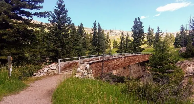
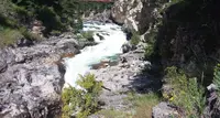
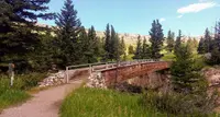
The East Rim Trail leaves the same junction on a paved, rock-lined path and crosses a bridge over the river and its whitewater. A gravel path continues to another overlook, and there a dirt footpath drops to the bottom of the canyon. The main trail climbs to one more view down the canyon. It passes a signed junction with the Green Mountain Trail and makes a U-bend along the east precipice, facing the falls and the pool. The designated trail then ends, and side paths carry on along the rim and down.
The walk to the canyon bottom is about half a mile, by a KTVQ account. Down there the river pours through a large hole in the rock into a pool and then flows on downstream. Cole Waltner, a photographer from Columbus and a corporal in the Stillwater County Sheriff’s Office, has made that walk for years with his camera gear. “It’s pretty cool to see it compared to up here at the overlook,” he said. “It has a different feel.” The descent carries a risk. In May 2020 a 48-year-old Billings man died after falling into the Boulder River in the Natural Bridge Falls area, the Gazette reported.
Runoff and low water
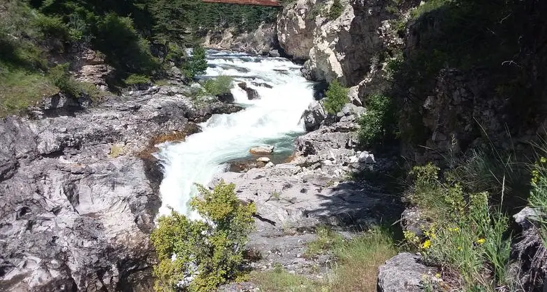
The falls run only part of the year. In late May or early June, snowmelt in the Absaroka-Beartooth Wilderness swells the Boulder past what its underground chute can take. The river then runs on over the brink. The National Recreation Trail record and the Gazette give the drop as 100 feet. Stone, and Kyle Sample of the Bozeman Daily Chronicle, give 105.
Sample came on a runoff day with the Chronicle’s outdoors editor, Ben Pierce. Mist rose as far as 80 feet up the hillside, and a rainbow stretched across the pooling water. He wrote that the roar sounded “like 100,000 hair dryers running in unison.” From the switchback below the east-side trailhead, three falls stood in view, and an amphitheater on the river’s east side faced them. A woman named Maureen, up from Billings with her husband, had seen the falls five or six times. “Both of them have their own beauty,” she said. “Watching it come through on the other end when the water is low is exciting, but it’s impressive to see this, too.”
The water drops as the season goes on. Stone writes that two smaller falls show beneath the main one in late spring. In summer the water sinks into the riverbed hole and tumbles out of the lower caverns, and the bedrock lies bare. French adds that in low-water years the river below the falls disappears completely into underground tunnels before rising again downstream. Sample once missed the falls entirely. The river dropped on the very day he meant to drive over. Afterward he watched the Boulder’s flow on the USGS website each spring.
Summer brings its own crowd. In August 2026, with temperatures in the 90s and smoke over Sweet Grass County, the Lewistown News-Argus found hikers, swimmers, and explorers at the falls.
A 25-foot arch, July 1988
The rock is limestone, Madison limestone in Stone’s account. It was laid down about 340 million years ago, when a vast inland sea covered the area, from the compressed remains of sea creatures such as clams and coral. The Sweet Grass County growth plan of 2003 describes Natural Bridge as a landform made by the Boulder River undercutting limestone beds. Sample’s account has the river chiseling a chute that burrows down through the riverbed until it becomes a surface river again.
Above that chute the river carved a bridge across its upper surface, and the place took its name from it. Stone gives the arch’s length as 25 feet. It collapsed in July 1988. An information board on the trail shows a photograph of it, and a man-made bridge now carries walkers across the river. Stone calls the site Natural Bridge State Monument. The Forest Service lists it as a picnic area.
Where the water goes under
The Crow knew the place before the bridge fell. Elias Goes Ahead, a Crow tribal historian who has since died, told the Gazette in 2013 that its Crow name meant “where the water sinks in” or “where the water goes under.” He said that before the tribe was confined to its reservation in the 1800s, Crow men fasted on the limestone bridge and left offerings of tobacco there. The Chronicle gives the river’s Crow name as Bilaloo’hchipee, “where water goes under.”
On a Tuesday, July 9, a tour bus brought about 45 Crow legislators and elders to the falls, most of them in their 70s and 80s. It was the third summer the Bureau of Land Management and the national forest had invited them to sites in southern Montana that had been Crow country before the government forced the tribe east onto the reservation south of Billings. The elders made their way to the footbridge above the falls. Elias Goes Ahead told how the mountain Crow had evaded the Lakota Sioux by hiding in the Beartooth Mountains near the Boulder River. “The Natural Bridge was an area used to pray,” he said.
“I’ve never been here, but it is a connection inside,” said Carlson Goes Ahead, a Crow legislator. Marcia Pablo, the forest archeologist, said the visitors knew such places from oral history, “but this is often their first chance to see them.” Carol Good Luck carried a plastic bottle, hoping to fill it with Boulder River water. “We have something like this called Lost Creek where the water goes under near Pryor,” she said, “but this is so beautiful.”
Elias Goes Ahead asked that day for the stories of the Crow who lived in the region before Fort Parker and before Lewis and Clark. “We would like our stories to be told from before Fort Parker,” he said, “because our words blow into the wind and don’t end up on the black and white paper.”
Notable Events
- 1988The limestone bridge used by Crow men for fasting and tobacco offerings collapsed in 1988, according to the feature's account of Elias Goes Ahead's testimony. billingsgazette.com
People
- Elias Goes Ahead, Crow tribal historian who explained the site's Crow name to the Gazette (2013 Gazette story).
- Carlson Goes Ahead, Crow legislator quoted about his connection to ancestral country during the cultural-site visit.
- Carol Good Luck, First-time visitor hoping to collect Boulder River water during the elders' visit.
- Marcia Pablo, Gallatin National Forest archeologist describing Crow visitors' reconnection with places known through oral history.
Sources
- fs.usda.gov/r01/custergallatin/recreation/natural-bridge-falls-picnic-area
- nrtapplication.org/trails/boulder-river-natural-bridge-and-falls-trail
- bozemandailychronicle.com/outdoors/make-room-in-your-schedule-to-visit-natural-bridge-falls/article_22192824-ea67-11e3-9f7d-0019bb2963f4.html
- outsidebozeman.com/activities/hiking/falling-away