

.jpg)
Mineral Ridge Trailhead
Coeur d'Alene, Kootenai County, Idaho. National Recreation Trail.
Details

- Where
- 3232 W. Nursery Rd, Coeur d'Alene, ID 83815. Directions
- When
- annually from December 27 through December 31, during peak migration.
- Getting there
- 11 miles east of Coeur d'Alene city center. Take US-90 east from Coeur d'Alene for eight miles to Wolf Lodge Bay (exit 22), then go south on Highway 97 for three miles.
- Fees
- Non-fee Site.
- Access
- The Scenic Area has paved parking that serves as a trailhead and picnic area. There are pleasantly landscaped turf areas, drinking water, two picnic shelters with tables, pit toilets and trash receptacles. All trailhead facilities except the upper picnic shelter are accessible to visitors with disabilities.
- Phone
- 208-769-5000
- Website
- blm.gov
- Managed by
- Coeur d'Alene Field Office.
- Established
- 1963.
- Coordinates
- 47.61472222, -116.6788889.
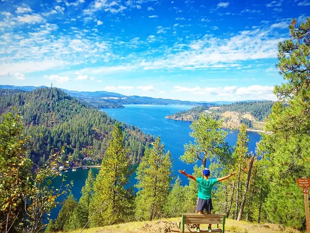
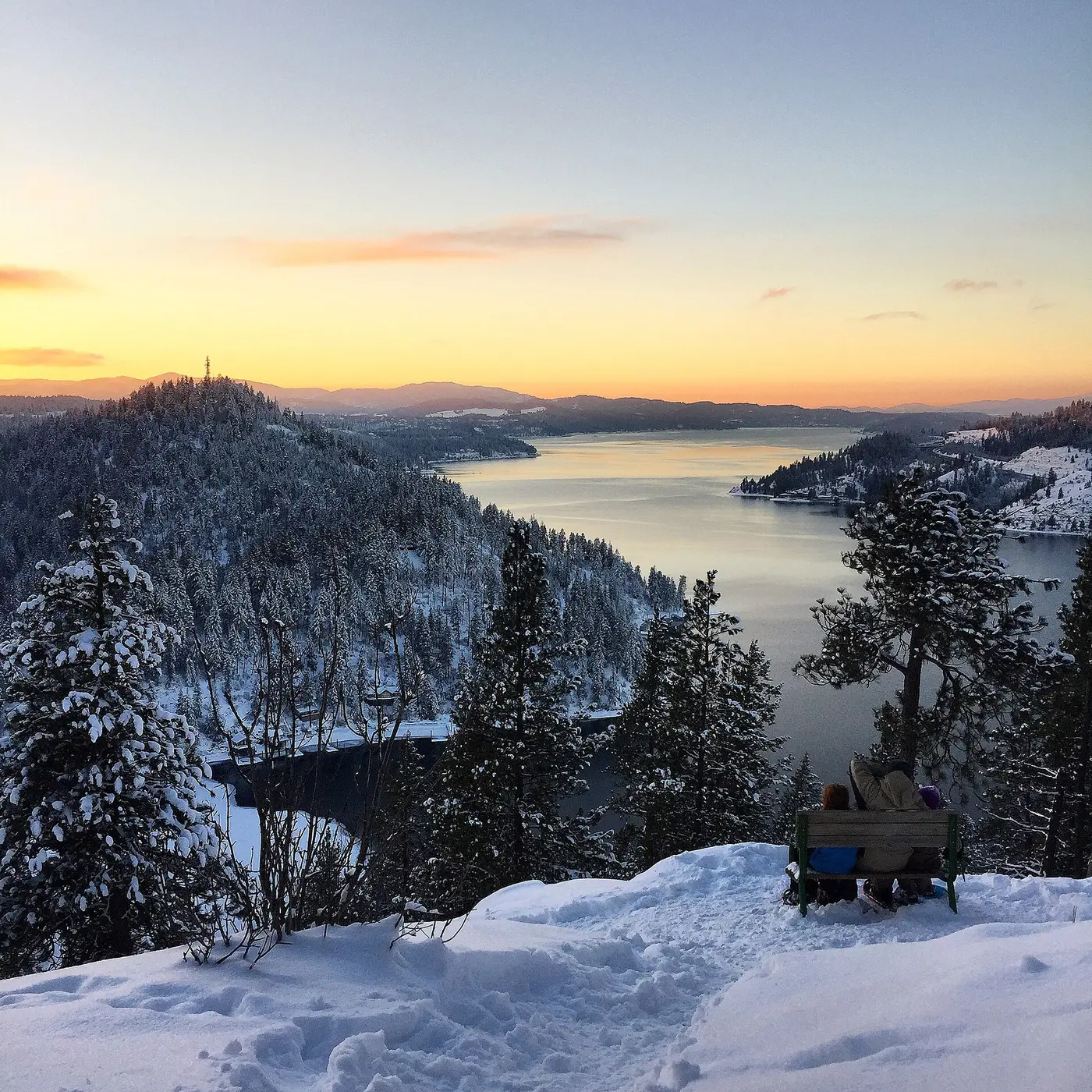
The 3.3-mile trail was the first BLM recreation site developed in Idaho in 1963. In 1982, the trail was designed as a National Recreation Trail and offers an invigorating hike and stunning views of Lake Coeur d'Alene. An interpretive trail guide describes the plants, animals and interrelationships of the forest at 22 marked stations along the trail.
Notable Events
- 1891The first two recorded mining claims on Mineral Ridge were located on its north slope in 1891 by John Marshall, Emanuel Hoelzle, Michael O'Brien, and Marion Moor. They were staked out and named Buckeye and Silver Wave. blm.gov
- 1900They built a prospector's cabin of hand-hewn logs near the present parking lot in 1900. blm.gov
- 1907Together they located the Beartooth, Racoon, and Mascot mining claims on the hillside above the cabin in 1907. blm.gov
- 1908The Mineral Ridge Mining and Milling Company was incorporated in 1908. blm.gov
- 1923In 1923 a reported rich platinum discovery lead to intense excitement. This later proved to be a hoax. blm.gov
- 1963Construction began in 1963, with additions and improvements made in later years. blm.gov
- 1974This ponderosa pine was killed by western pine beetles in 1974. It was more than 480 years old and probably the second oldest tree on Mineral Ridge. blm.gov
- 1975The stand of trees in the area above the trail was cut in 1975 to demonstrate the forest management practice of thinning. blm.gov
- 1982On April 13, 1982, the trail was designated as a National Recreation Trail. blm.gov
- 1991In October 1991, the area experienced unusually high winds exceeding 60 miles per hour. Many trees, including the Columbus Tree, were blown over. blm.gov
People
- Charles Williams, carpenter and boat builder who worked the claims with Marshall and Hoelzle.
- Emanuel Hoelzle, prospector who located the first two recorded mining claims on Mineral Ridge (1891).
- John Marshall, prospector who located the first two recorded mining claims on Mineral Ridge (1891).
- Marion Moor, prospector who located the first two recorded mining claims on Mineral Ridge (1891).
- Michael O'Brien, prospector who located the first two recorded mining claims on Mineral Ridge (1891).