McArthur-Burney Falls Memorial State Park
Burney, Shasta County, California. Premier waterfall.
Details

- Where
- 24889 Hwy 89, Burney, CA 24889. Directions
- When
- Friday, May 15, through Sunday, Sept. 27.
- Season
- Visitor Center: Wed-Sun (10am-4pm); Interpretive activities (including hiking tours): Wed-Sun (11am-4pm).
- Getting there
- The park is northeast of Redding, 6 miles north of Highway 299 on Highway 89 near Burney.
- Fees
- Vehicle Day Use: $10.00.
- Hours
- Day use hours are from 8:00 a.m. to sunset.
- Access
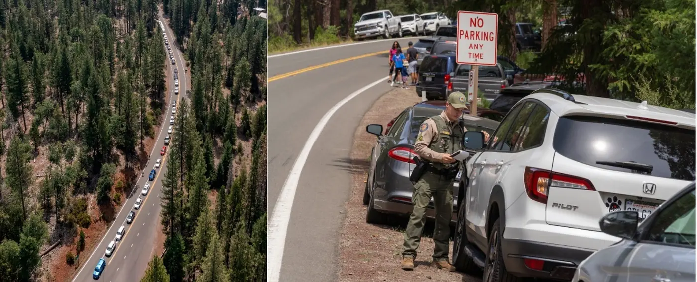
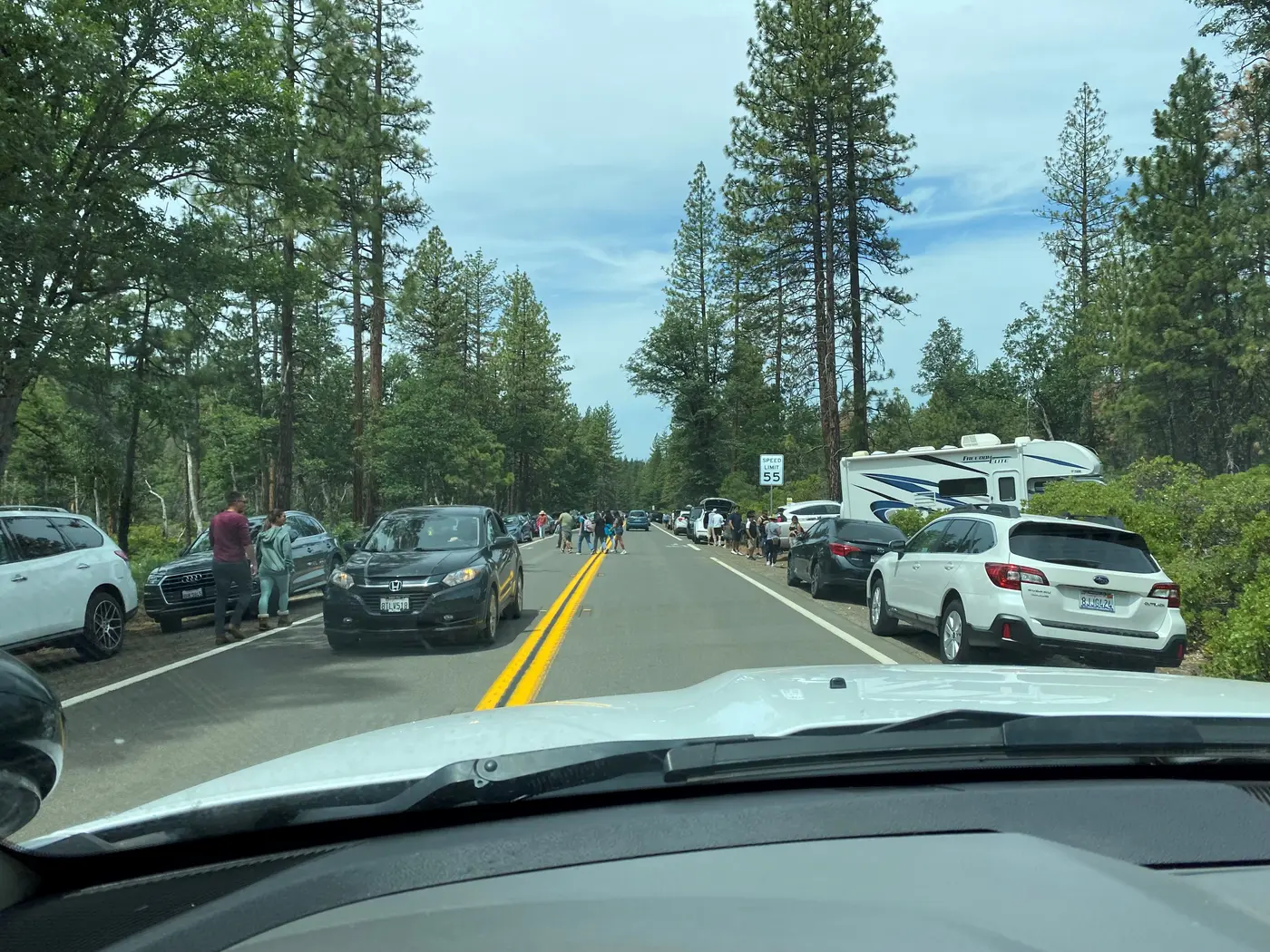
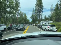
- It is illegal to park along Highway 89 outside of the park for a mile either direction.
- Walk-in or reserve
- Advance Reservation Required May 15 – September Friday – Sunday Memorial Day, Fourth of July, and Labor Day.
- Phone
- (530) 335-2777
- Website
- parks.ca.gov
- Managed by
- California State Parks.
- Established
- 1926.
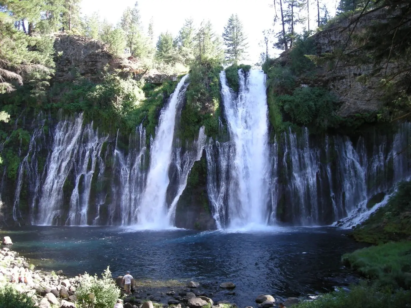
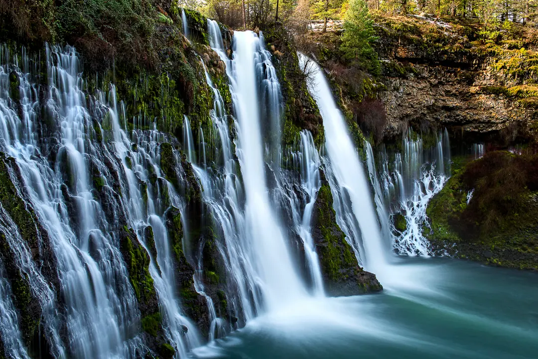
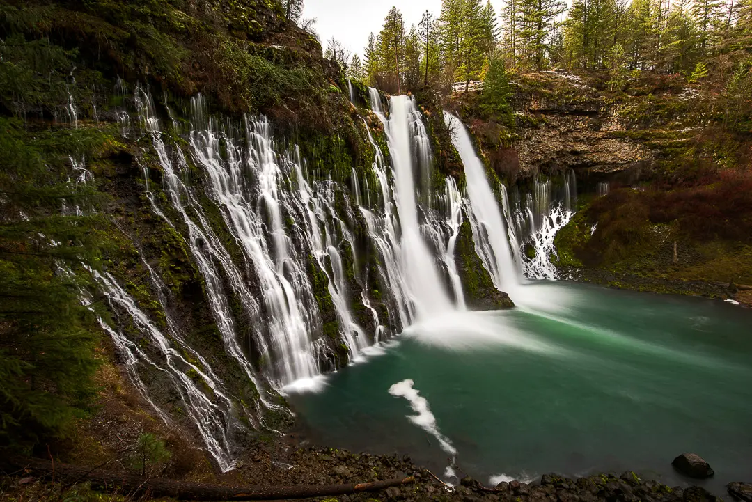
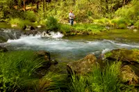
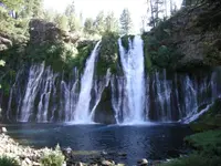
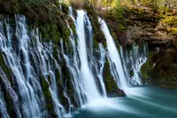
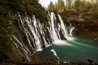
The park's centerpiece is the thundering 129-foot white-water falls on Burney Creek, complemented by the voluminous springs emanating from the basalt cliff face.
Notable Events
- 1920sThe family descendants bought the waterfall and nearby land to save it from development, then gave it to the state. parks.ca.gov
People
- Samuel Burney, Pioneer settler for whom Burney Falls was named (1850s).
Sources
- parks.ca.gov/?page_id=455
- parks.ca.gov/NewsRelease/1509
- parks.ca.gov/pages/455/files/McArthurBurneyFallsMemorialSPFinalWebLayout120816.pdf
- burneyfallspark.org
- conservation.ca.gov/cgs/Documents/Publications/Special-Reports/SR_230-GeoGems-Notes-LR/CGS_SR230_McArthurBurneyFalls_MemorialSP_lr.pdf
- hmdb.org/m.asp?m=546