.jpg)
Long Valley Recreational Hot Springs
Mammoth Lakes, Mono County, California. Natural hot springs.
Details

- Where
- Mammoth Lakes, Mono County, CA. No street address stated. Directions
- Getting there
- From Bishop, take HWY 395 North. Turn right (east) on Benton Crossing Rd. Numerous hot springs can be accessed via dirt road to the north or south of Benton Crossing Rd.
- Access
- Numerous hot springs can be accessed via dirt road to the north or south of Benton Crossing Rd.
- Phone
- 760-872-5000
- Website
- recreation.gov
- Managed by
- Bureau of Land Management.
- Coordinates
- 37.66103611000000, -118.76776390000001.
Benton Crossing Road leaves U.S. 395 at the Mammoth Lakes Airport exit, and dirt roads run north and south from it across Long Valley to several natural hot springs. The springs are undeveloped and lie on public land managed by the Bureau of Land Management’s Bishop Field Office, which lists them as the Recreational Hot Springs (Tubs). About 1.2 miles along Benton Crossing, a branch named Whitmore Tubs Road bears off to the left. Whitmore Hot Spring is also the name of the U.S. Geological Survey’s 7.5-minute topographic quadrangle for this ground. Recreation.gov lists hiking, photography, and wildlife viewing nearby.
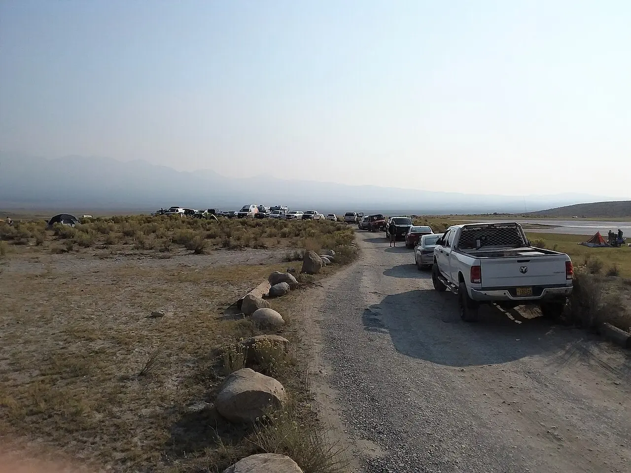
The busiest tub of the group is Wild Willy’s Hot Spring. “On busy days, hundreds of vehicles travel on the dirt road leading to this popular destination,” said Jeff Starosta, the acting field manager, in 2022. That August the BLM and the Mono County Public Works Department moved the road’s entrance about 400 feet to the southwest along Benton Crossing Road. The new entrance lowered the risk of collisions and gave drivers room to turn in and out safely. The work ran from August 8 to 10, and for the last two days no vehicle could reach the spring. Visitors walked in.
The water rises through the floor of the Long Valley Caldera. The Geological Survey gives its size as 16 by 32 kilometers. It formed about 760,000 years ago in the eruption of the Bishop Tuff, which the survey considers a supereruption. In its early years a lake filled the caldera, left strandlines on its walls, and then drained through the Owens River Gorge. The survey still counts the caldera as thermally active, with many hot springs and fumaroles. It has recorded earthquakes, ground uplift, and other unrest over recent decades and keeps a dense array of sensors here. “Presumably magma beneath the Long Valley Caldera is the heat source for the hot springs,” its field guide reads.
Whitmore Hot Springs also turns up in an older record. On January 26, 1996, Jess Chance sat for an oral history with Richard Potashin. Chance was an Eastern Sierra cattleman born in 1928, though the catalog’s notes give the interviewee as Jerry Chance. Across three cassettes and more than two and a half hours, he talked about cattle drives to Long Valley, old-time cowboys, conflicts between sheepmen and cattlemen, and Hot Creek and Whitmore Hot Springs. The Eastern California Museum in Independence holds the tapes, and its catalog warns of a high amount of hiss.
Notable Events
- 2022The BLM Bishop Field Office and Mono County Public Works rerouted the Wild Willy's Hot Spring access road in Long Valley from Aug. 8-10 to improve public safety and visibility. blm.gov
People
- Jess Chance, Eastern Sierra cattleman whose recorded oral history runs from cattle drives to Long Valley and old-time cowboys to Hot Creek and Whitmore Hot Springs (1996).