Franklin Falls Trailhead
Snoqualmie Pass, King County, Washington. Trailhead.
Details

- Where
- Snoqualmie Pass, King County, WA. No street address stated. Directions
- When
- Day use only.
- Season
- Open year-round; winter access via Asahel Curtis Sno-Park since Denny Creek Road is closed to motor vehicles and not plowed in winter.
- Getting there
- Travel on I-90 to Exit 47. From the exit, turn north and drive across the overpass to the "T" in the road, then turn right. In 0.25 mile, turn left onto Denny Creek Road (Forest Service Road 58). Continue straight for 2.8 miles.
- Fees
- Day Use: $5 per vehicle per day; $30 per annual. Northwest Forest Pass and Interagency Recreation Passes honored; Washington State Discover Pass is not valid.
- Access
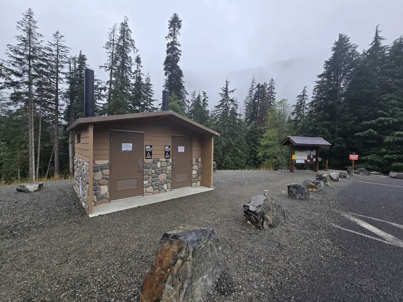
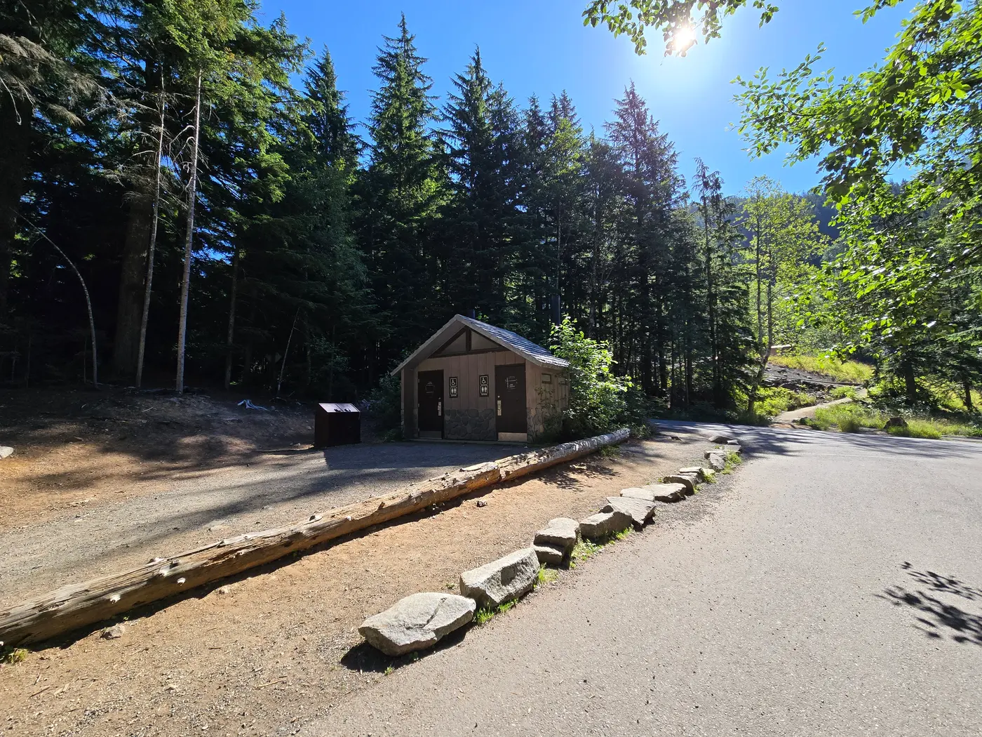
- Vault toilets only; no potable water on site.
- Walk-in or reserve
- Walk-in; no reservations required.
- Phone
- (425) 888-1421
- Managed by
- Mount Baker-Snoqualmie National Forest, Snoqualmie Ranger District.
- Coordinates
- 47.41333333, -121.4413889.
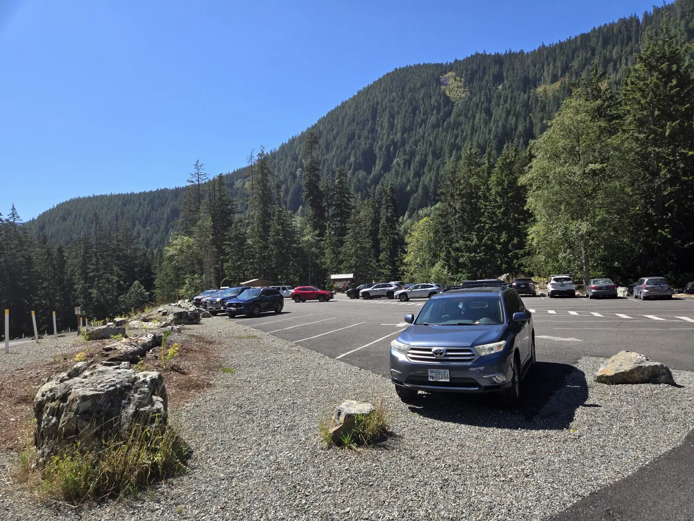
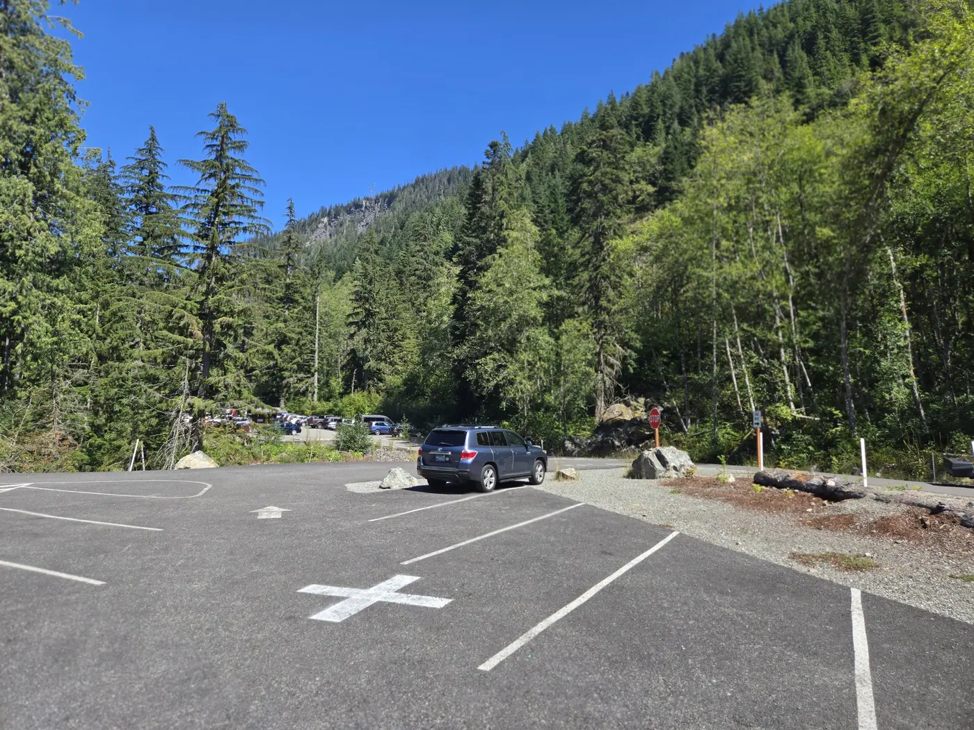
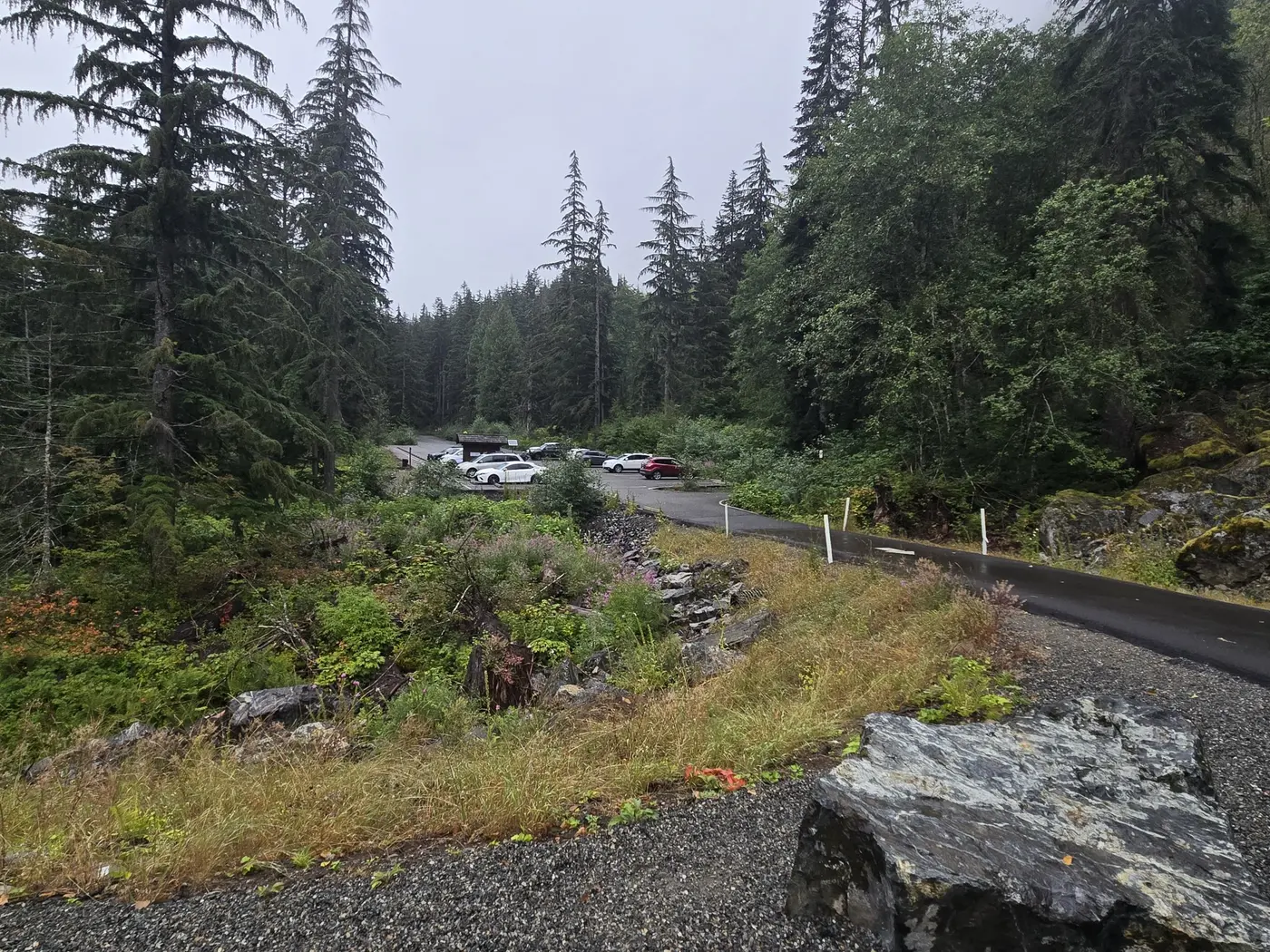
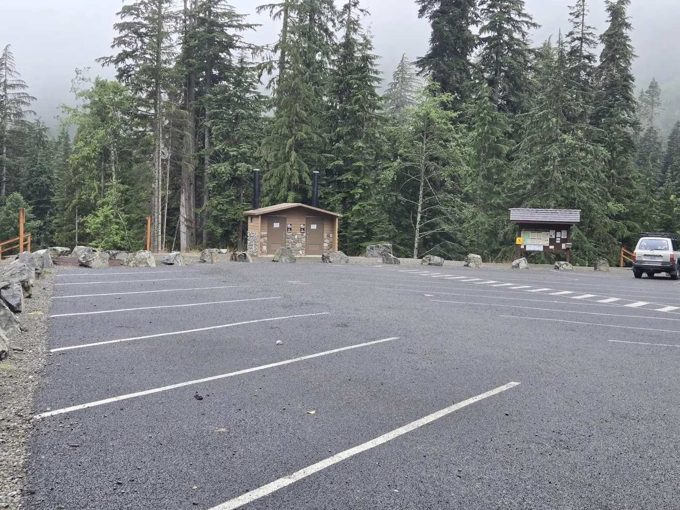
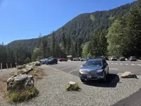
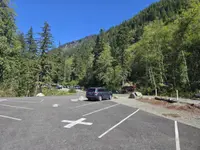
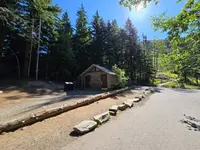
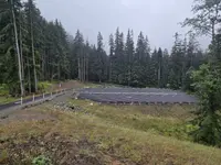
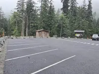
Denny Creek Road, Forest Service Road 58, leaves Exit 47 of Interstate 90 and runs 2.8 miles into the forest. A quarter mile past Denny Creek Campground the road turns one-way and passes through three large parking areas. Before the main lot there is a vault toilet, ADA parking and a closed gate. Two trails begin there within a few steps of each other: Franklin Falls Trail 1036 and Wagon Road Trail 1021. Hikers bound for Denny Creek Trail 1014 park here too and walk a quarter mile up Forest Road 5830, which is closed to cars, to reach their trail. The trailhead stands at 2,200 feet in the Snoqualmie Ranger District of the Mount Baker-Snoqualmie National Forest. It has picnic tables but no drinking water. The Washington Trails Association notes that it has no garbage cans either.
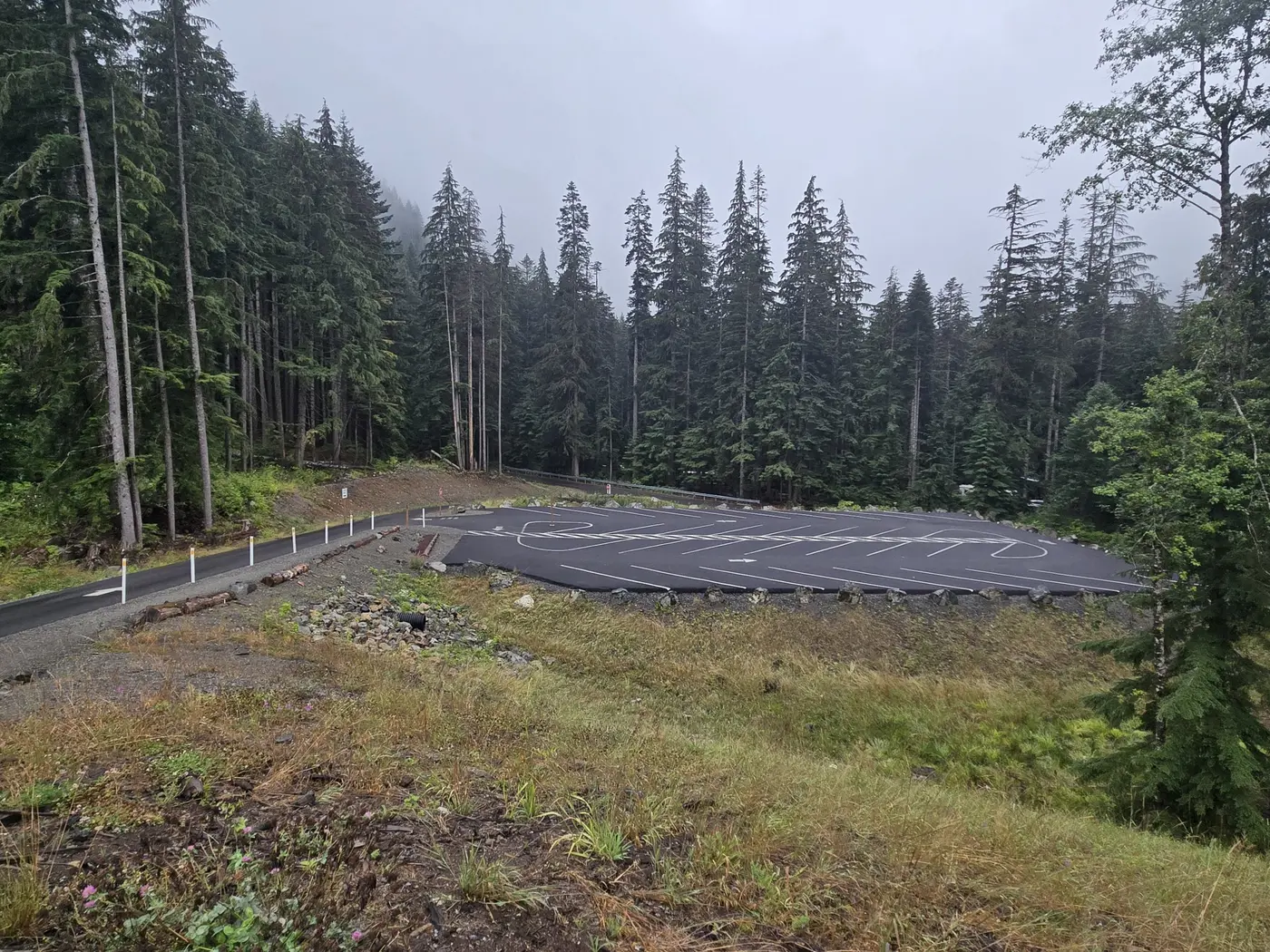
The Forest Service counts this among the busiest trailheads on the I-90 corridor. In 2022 The Seattle Times reported 1,500 visitors a day on summer weekends. On June 6 of that year Deputy Agriculture Secretary Jewel Bronaugh announced the Legacy Restoration Fund at this trailhead and then hiked to the falls. The paper said at the time that the lot would grow by 100 spaces. When work began in late May 2023, the Times gave the figure as 72 spaces, including more ADA parking. The work was paid for by the Great American Outdoors Act and the Recreation Conservation Office of Washington State, and it closed both trails, the road and the campground for the summer. “Although having these popular areas and trails closed for the summer is disappointing, the improvements will make the area more enjoyable for years to come,” said Snoqualmie District Ranger Heather Randall Wilder. The Forest Service records the expansion as completed in 2023. The Trails Association puts the capacity of the three lots at about 170 cars.
A canyon walk to the plunge pool
The falls trail follows the South Fork of the Snoqualmie River uphill through old-growth forest. It runs along the edge of a canyon, with glimpses of deep pools and cascades below. It is a mile one way, with 400 feet of gain by the Trails Association’s figures. The first 500 feet are wheelchair friendly as far as a river viewpoint. Association crews have built walls, rock steps and bridges along the route, working here in 2018 and every year from 2021 through 2024. Their guide still notes a few washed-out spots and some places without handrails. At 0.7 mile the trail runs beside Road 58 for a short way. Three-tenths of a mile beyond, it reaches the falls.
Franklin Falls drops in three tiers, 135 feet in all by the Trails Association’s count. Only the last and largest drop, 70 feet, can be seen from the trail. The falls stand between two tall viaducts that carry I-90, which let traffic pass in winter without interference from avalanches. The last stretch to the base follows a narrow path cut into the rock. It is steep and often wet, but many visitors go down anyway to eat lunch in the mist of the plunge pool. Cathy McDonald, writing in The Seattle Times in July 2009, found bunchberry in bloom along the trail. At the bottom she found a cobble beach and large rocks to climb, and she noted that “an Interstate 90 bridge looms overhead.” Flows are best from April through July. At peak the spray is heavy enough that the Trails Association suggests rain gear. In lower water there is more room to move around the base.
The falls run year-round, and in winter icicles form along the rock face. In winter, however, Road 58 is closed to motor vehicles and is not plowed. The Forest Service page for the trailhead, updated in August 2026, says the Franklin Falls Sno-Park will not operate. It directs visitors to the Asahel Curtis Sno-Park, about seven miles from the falls on foot. The agency warns of avalanche risk in the Franklin Falls Basin and on the Denny Creek Trail, and it tells visitors not to enter either. The Trails Association describes the falls as an easy snowshoe but advises staying away from the splash pool in icy conditions.
Ruts and puncheon on the Wagon Road
A quarter mile below the falls, a junction offers a different way back to the cars on Wagon Road Trail 1021, which makes the walk a two-mile loop. The Forest Service says this trail follows the original Snoqualmie Pass Wagon Road, and that old wagon ruts and remnants show at several points. McDonald called it the last remaining mile of the road built across the pass in the 1860s. Replicas of the original puncheon road, made of hewn cedar logs laid across the path, carry it over the muddy ground. By McDonald’s count the trail crosses Denny Creek Road three times. The Forest Service warns that it is easy to lose the way at each crossing. In 2009 the end of the trail, across from the parking lot, was marked by a sign and a half-buried metal wheel rim.
Surveyors, drovers and a toll road
The pass at the head of the valley sits at 3,022 feet. HistoryLink calls it the lowest of Washington’s cross-Cascade passes. Native communities used such passes to trade, walking at first and riding horses after the 1730s. Among them were the Yakama, Klickitat and Snoqualmie, along with bands later known as the Muckleshoot. In the 1830s the Hudson’s Bay Company drove cattle from east of the mountains over Snoqualmie Pass to Fort Nisqually, helped by local Indians who knew the route. After the Fraser River gold strike of 1858, miners on foot and on horseback used the trail to head north.
In 1855 a party of Seattle surveyors that included Dexter Horton tried to find a way through the mountains east of the village. One of their two routes followed the South Fork from Rattlesnake Prairie, over the pass and down to Lake Keechelus. King County and the Snoqualmie Valley Museum name Horton’s companion as Charles Boren, while HistoryLink names him Carson Boren. Ten years later, according to Arthur A. Denny’s memoir, Denny, Jeremiah Borst and William Perkins consulted Saniwa, a Klickitat man. Saniwa sent two younger men of his tribe to lead the Seattle party through the pass. A drawing in the museum’s collection labels him Snoqualmie Tribe Chief Saniwa.
That fall King County and local residents raised money for a crew to build 25 miles of road from Ranger’s Prairie, later North Bend, toward the pass. King County and the museum say the rough road was finished from Seattle to Ellensburg in 1867. HistoryLink says only that it opened that year to the south end of Lake Keechelus. HistoryLink also cites other accounts in which emigrants built rafts and floated their wagons up the lake while the livestock swam.
Livestock became the main traffic. Documented cattle drives over the pass to Puget Sound began in 1869, though the museum says drives had probably taken place now and then since the 1840s. In 1883 the Ellensburg paper The Kittitas Standard valued the livestock crossing the pass at $500,000 a year. That same year investors incorporated the Seattle and Walla Walla Trail and Wagon Road Company and ran the route as a toll road. According to HistoryLink, travelers dodged the toll. The railroad then took most of the freight. King County and the museum date the Northern Pacific’s Cascades line to Tacoma to 1887, while HistoryLink puts the line through Stampede Pass in 1888. The wagon road fell into serious disrepair and returned to King County.
In 1899 David Denny took a contract to repair it. He laid corduroy road, built bridges, blasted rock and improved the alignments. HistoryLink says he knew the country from working mining claims there. It also says the river crossings gave him the most trouble, because running water kept wrecking the improvements. That summer he counted 1,148 horses crossing the pass. King County and the museum put the wagons and carriages at 94, while HistoryLink puts them at about 200. Some, HistoryLink says, carried settlers from the East Coast and the Midwest, the tail end of the Oregon Trail wagon trains.
Hairpins of the Sunset Highway
The first automobiles crossed the pass in 1905, on the old wagon road. Bert Harrison Sr. and Tom Hazelfield of Ilwaco drove an 1898 Frayer-Miller from Indianapolis to Seattle. Charles L. Ray and John Kelleher drove a Winston from Seattle to Ellensburg. Each car took several days to get over the summit. In 1909 the Alaska-Yukon-Pacific Exposition held a transcontinental race from New York to Seattle. Every car but the Itala, which crossed the mountains on a rail car, came over Snoqualmie Pass. The drivers reached Seattle looking as if they had been painted with mud. The Shawmut team called the pass “the worst road we encountered along the whole trip.” The Chicago, Milwaukee and St. Paul Railroad was completed over the pass the same year.
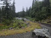
In 1912 the Good Roads Association, working with local auto clubs, proposed three trunk highways for the state, one of them named the Sunset. In March 1914 the State Highway Board accepted bids for about 23.4 miles between North Bend and Cle Elum. On July 1, 1915, Governor Ernest Lister dedicated the Sunset Highway at the pass and called it the “first passable route between east and west sides of the mountains.” The new road replaced the wagon road’s worst grades with a series of switchbacks. Forest Road 58, the road to this trailhead, with its hairpin turns, is part of that 1915 alignment. After it was abandoned, the stretch passed to King County and then to the Forest Service.
King County’s 2009 corridor survey lists several features along Road 58: a stone wall, a concrete radiator trough and a painted Yellowstone Trail marker. It also notes springboard scars on old-growth stumps along the route. A photograph in the same report shows horses towing two Buicks along the highway in 1916. Denny Creek Campground appears on auto-club maps of the mid-1920s.
The Sunset Highway stayed a graded gravel road for about 13 years. Federal money from 1923 into the 1930s paid for paving and new alignments, and the upper switchbacks of 1914 and 1915 were bypassed for good. The road stayed open all winter for the first time in 1931, and paving from Seattle to the pass was finished by 1934. Over the years the route was renamed State Road No. 2, Primary State Highway No. 2 and U.S. 10. It became Interstate 90, whose two viaducts now cross the valley above Franklin Falls.
Notable Events
- 1855Seattle surveyors, including Dexter Horton and Charles Boren, first tried to locate a way through the mountains east of Seattle. cdn.kingcounty.gov
- 1865Another survey was completed and enough money raised locally to build 25 miles of road from Ranger's Prairie, the future site of North Bend, toward the Pass. cdn.kingcounty.gov
- 1867The rough wagon road was completed from Seattle to Ellensburg. cdn.kingcounty.gov
- 1867Work resumed in the summer of 1867, with a road opened to the south end of Lake Keechelus that year. historylink.org
- 1869Cattle drives from the rangelands of Washington and Oregon territories to Seattle began. cdn.kingcounty.gov
- 1883The Seattle and Walla Walla Trail and Wagon Road Co. took over the road and invested money and labor in improvements. cdn.kingcounty.gov
- 1887Completion of the Northern Pacific Railroad's Cascades line to Tacoma captured most overland freight; the wagon road fell into disrepair and ultimately reverted to King County. cdn.kingcounty.gov
- 1888In 1888 the Northern Pacific Railway brought its rail line through Stampede Pass, just south of Snoqualmie and Yakima passes, providing a reliable way over the mountains. historylink.org
- 1899David Denny contracted with the county for repairs, laying corduroy road, building bridges, blasting rock and improving alignments. cdn.kingcounty.gov
- 1905The first automobiles crossed Snoqualmie Pass on the old wagon road. cdn.kingcounty.gov
- 1909The Alaska-Yukon-Pacific Exposition's transcontinental auto race over Snoqualmie Pass generated publicity and shifted attention to improving the road for motorcars. cdn.kingcounty.gov
- 1909The Chicago, Milwaukee and St. Paul Railroad was completed over Snoqualmie Pass and effectively absorbed most commercial and passenger traffic. cdn.kingcounty.gov
- 1912The Good Roads Association joined local auto clubs and proposed the Sunset Highway as one of three trunk highways, running west from the Idaho line over Snoqualmie Pass to Fall City. cdn.kingcounty.gov
- 1914The State Highway Board accepted bids for clearing, grading, draining and bridging about 23.4 miles of Sunset Highway between North Bend and Cle Elum. cdn.kingcounty.gov
- 1915Governor Lister hailed the Sunset Highway as the first passable route between the east and west sides of the mountains. cdn.kingcounty.gov
- 1915The Sunset Highway, the first automobile route over the Cascades, opened in 1915 largely following the route of an Indian trail that had been developed into a wagon road. historylink.org
- 1930sFederal funds enabled major Sunset Highway improvements, including hard-surface paving and important new alignments. cdn.kingcounty.gov
- 1931The Sunset Highway remained open throughout winter for the first time. cdn.kingcounty.gov
- 1934All sections of highway paving from Seattle to the Pass were complete. cdn.kingcounty.gov
- 2023The trailhead expansion was completed with Great American Outdoors Act funding, significantly increasing parking capacity. fs.usda.gov
People
- Charles Boren, surveyor who first tried to locate a mountain crossing east of Seattle (1855).
- David Denny, contracted with the county to repair the wagon road; laid corduroy road, built bridges, blasted rock, and improved alignments (1899).
- Dexter Horton, surveyor who first tried to locate a mountain crossing east of Seattle (1855).
- Governor Lister, Hailed the Sunset Highway at its dedication as the first passable route between the east and west sides of the mountains (1915).
- Arthur A. Denny, claimed in his memoir that he consulted about the route over Snoqualmie Pass in 1865 (1865).
- Ernest Lister, governor who dedicated the Sunset Highway at a ceremony at Snoqualmie Pass (1915).
- Jeremiah Borst, consulted with Arthur Denny and William Perkins on the route over Snoqualmie Pass (1865).
- Saniwa, Klickitat man who instructed two younger men of his tribe to guide the Seattle party through Snoqualmie Pass.
- Jewel Bronaugh, Announced the Legacy Restoration Fund at Franklin Falls Trailhead before hiking to the waterfall.
- Heather Randall Wilder, Snoqualmie District Ranger who explained the worker and public safety reasons for closures for the parking-lot project.
Sources
- fs.usda.gov/r06/mbs/recreation/franklin-falls-trailhead
- fs.usda.gov/r06/mbs/recreation/trails/franklin-falls-trail-1036
- wta.org/go-hiking/hikes/franklin-falls
- seattletimes.com/life/outdoors/take-short-hike-to-franklin-falls-and-historic-wagon-road
- seattletimes.com/life/outdoors/department-of-agriculture-unveils-503-million-in-nationwide-outdoor-recreation-funding-at-franklin-falls
- seattletimes.com/life/outdoors/two-popular-i-90-trails-to-close-for-parking-lot-expansion
- cdn.kingcounty.gov/-/media/king-county/depts/dnrp/building-property/historic-preservation-program/projects-and-programs/historic-and-scenic-corridors-project/downloads/oldsunsethighwayhistory.pdf?rev=c87e6e9244c941e4bea463c842aca81a&hash=850173646DC396B06DE0992E76B53539
- fs.usda.gov/r06/mbs/recreation/trails/wagon-road-trail-1021
- historylink.org/file/10383
- snoqualmievalleymuseum.org/transportation