Fossil Creek Wild and Scenic River
Camp Verde, Gila County, Arizona. Wild and Scenic River.
Details

- Where
- Camp Verde, Gila County, AZ. No street address stated. Directions
- When
- Day use hours are from 8 AM to 8 PM. No overnight use.
- Season
- A permit is required April 1 through October 1.
- Getting there
- From Interstate 17, take Exit 287; head 10 miles east on SR 260; turn south on Fossil Creek Road between mile markers 228 and 229; drive 14 miles to Childs Road, Forest Road 502.
- Fees
- One Vehicle: $6.00 non-refundable reservation fee.
- Access
- You must arrive at the HWY 260/FR708 junction by 2 p.m. to utilize your permit; the drive to Fossil Creek from HWY 260 takes at least 1 hour due to road conditions; access gate at the end closes at 3 p.m.
- Walk-in or reserve
- Reservations are required for the Fossil Creek permit area April 1-October 1; maximum one permit per person per month, maximum group size 12, minimum permit-holder age 18.
- Phone
- 928-226-4611
- Managed by
- Coconino and Tonto National Forests.
- Coordinates
- 34.394022, -111.631749.
Fossil Creek is reached from the Camp Verde side by Fossil Creek Road, Forest Road 708. The road leaves State Route 260 between mile markers 228 and 229 and runs 14 miles of rough dirt down into the canyon. Recreation.gov puts the drive at no less than an hour. The Forest Service strongly recommends a high-clearance, four-wheel-drive vehicle and warns that the roads turn muddy, slippery and treacherous after rain. On Monday, September 28, 2026, it closed the creek for rainfall and hazardous road conditions. No vehicle route comes down from Strawberry, on the rim above. From that side the only way in is the Bob Bear Trail. The Forest Service describes it as a strenuous five miles with more than 1,000 feet of elevation change. Recreation.gov gives it as four miles one way and 1,500 feet down to the headwaters.
Eight lots along Forest Road 708
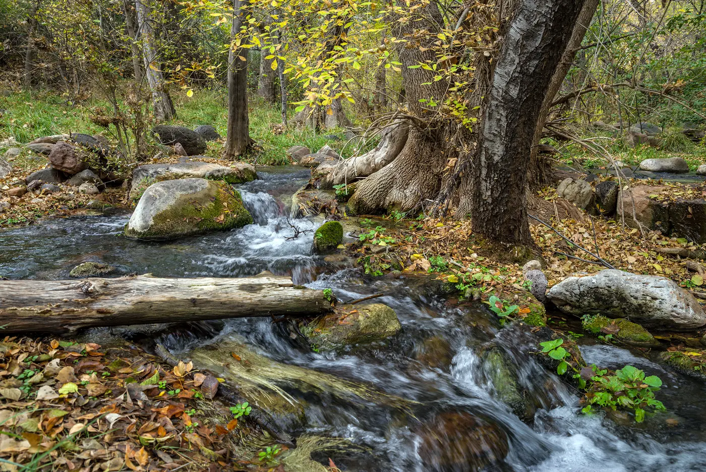
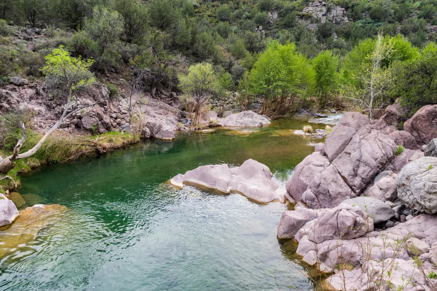
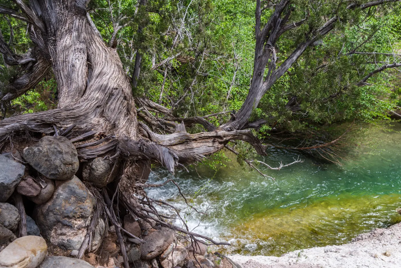
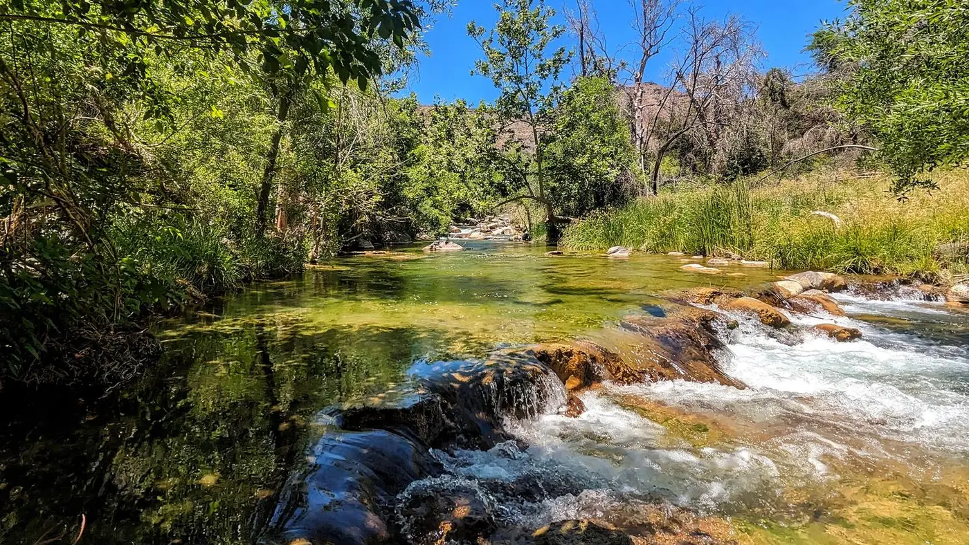
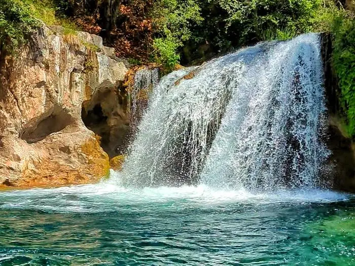
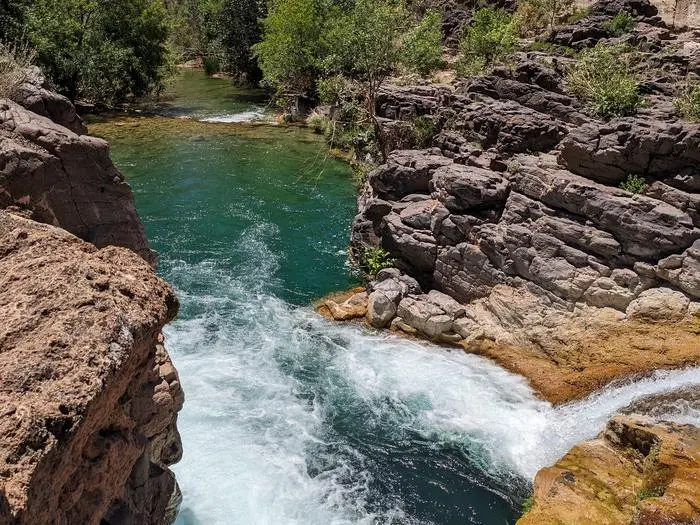
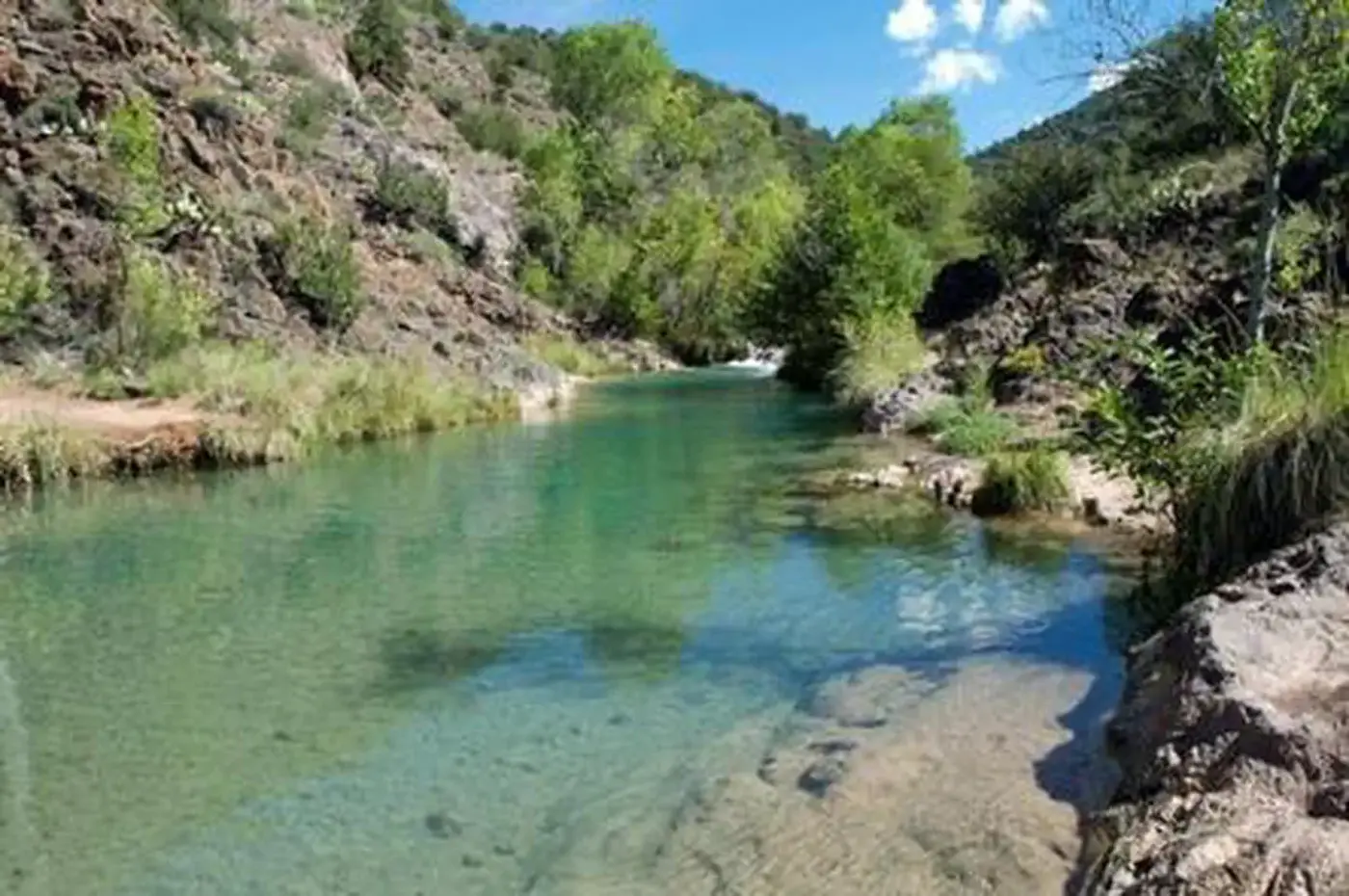
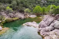
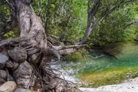
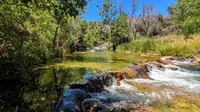
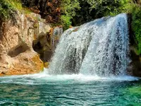
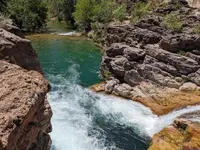
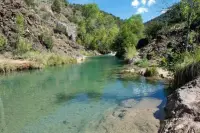
At the bottom the water comes out of a series of springs at the foot of the canyon, about 20,000 gallons a minute at about 70 degrees Fahrenheit. The Forest Service gives the daily discharge as more than 30 million gallons. Eight parking lots line the creek. Dixon Lewis, Irving, Tonto Bench, Fossil Creek Bridge and Homestead lie straight on along Fossil Creek Road. Sally May, Purple Mountain and Mazatzal lie to the right on Childs Road, Forest Road 502. Every one of them gives access to the water. There are picnic tables, but there is no potable water and no trash service. The pools are blue-green, a color Rivers.gov attributes to calcium carbonate dissolved in the water, and deep and clear enough for wading, swimming and snorkeling. The Dixon Lewis Trail, formerly the Waterfall Trail, leads to the falls. Packrafters most often run from the Dixon Lewis Trailhead down to Fossil Creek Bridge. The Forest Service notes that hardshell kayaks can damage the travertine. Rope swings and amplified music are not allowed.
The year is divided at the first of October. From April 1 through October 1, a visitor needs a printed permit reserved in advance, which carries a $6 fee and covers one vehicle at one named lot. The holder must reach the Highway 260 junction by 2 p.m., and the access gate closes at 3 p.m. During the 2026–2027 fall-winter season, from October 2 to March 31, no permits are required and the gates stand open around the clock except in bad weather. Dispersed camping is allowed in some places in that season. It is never allowed between Fossil Creek Bridge and Fossil Creek Dam. Campfires and glass containers are prohibited year-round, though propane stoves are permitted.
The fall season is also the fishing season. It runs from the first Saturday in October through April 30, on the stretch between the waterfall about a mile above the Flume Trailhead lot and the lowest power-line crossing, just below Sally May Wash. Roundtail chub must be released unharmed. Anglers may use artificial flies and lures only, on single barbless hooks. Rivers.gov calls this the country’s first blue-ribbon catch-and-release-only seasonal roundtail chub fishery, opened in October 2009.
Older uses show along the road. The Homestead lot sits on a working homestead that operated until 1990. What remains is a rock root cellar, several sections of water pipe, an orchard gone to remnants, four pomegranate trees and a fig tree. Purple Mountain began as a camp in 1908 for the men building the power plant. At the Irving lot, foundations, flume footings and part of the old Fossil Creek dam can still be seen in the open ground on the north side of the creek.
Calcium in the water
The springs carry so much calcium carbonate that, in the words of Rivers.gov, the water is “supersaturated” as it leaves the ground. As it flows, it lays down travertine, a form of limestone, over rocks, twigs and fallen wood. The deposits build terraces, steep waterfalls and large pools. According to Rivers.gov, only three travertine systems in North America are larger, and all of them lie partly or wholly within national parks. A 2009 University of Arizona newsletter called Fossil Creek, in its heyday, the fourth-largest travertine system in the world. Members of the expedition of Arizona’s first governor crossed central Arizona in the 1860s, and their letters mention Fossil Creek by name and remark on abundant “petrifactions.” The creek appears on maps of the same decade. The Sharlot Hall Museum attributes the name to the travertine’s bone-like look. The Forest Service says the travertine encases whatever falls into the streambed and forms the fossils for which the creek is named.
The sources measure the creek in different ways. Rivers.gov gives the spring flow as about 43 cubic feet per second. Northern Arizona University’s Arizona Heritage Waters page gives about 46, issuing from more than 100 orifices within a 1,000-foot stretch, and calls Fossil Springs the largest concentration of spring discharge on the Mogollon Rim. The Forest Service management plan gives the creek’s length to the Verde River as 17 miles. Rivers.gov gives 16.8, of which 9.3 are classified wild and 7.5 recreational. Recreation.gov counts 14 miles from Fossil Springs. Along the way the creek forms the boundary between Gila and Yavapai counties and passes through the Fossil Springs and Mazatzal wilderness areas.
More than 30 species of trees and shrubs and more than a hundred species of birds have been observed along the creek. NAU records 166 plant species in the 50-acre Fossil Springs Botanical Area. It also counts 147 species of macroinvertebrates, among them the endemic Fossil springsnail and the Page caddisfly. Rivers.gov lists nine endangered, threatened, candidate or sensitive native fish: the Colorado pikeminnow, razorback sucker, loach minnow, spikedace, Gila topminnow, roundtail chub, headwater chub, desert sucker and Sonora sucker. It makes Fossil Creek one of the few streams in Arizona holding only native fish.
Fields and hidden families
Ranchers in the Verde Valley claimed to have found the springs in the 1870s. The Sharlot Hall Museum notes that Native American ties to the springs, creek and canyon reach back through unrecorded time. The Forest Service management plan places human use 10,000 to 12,000 years in the past. Archaeologists have surveyed the drainage since 1890 and found collapsed stone masonry, diversion dams, pit ovens and petroglyphs. Rivers.gov says some evidence puts the Yavapai in the Verde Valley as early as the 13th century and the Apache by 1500 AD. The Apache in particular farmed along Fossil Creek, returning each season to plant and harvest.
In the late 1860s and 1870s the U.S. Cavalry campaigned against both peoples. By 1873 only a few families remained, living in secret along the creek and hidden from government troops. Rivers.gov writes that these families carried an unbroken cultural line from religious practice older than Anglo contact to the generations forced or born onto reservations. The corridor was occupied into the 1950s. Dilzhé’é, or Western Apache, cultural sites stand along the river. Recreation.gov says the Apache and Yavapai of the Verde Valley still return to the canyon to connect with their past.
Krupp pipe and windmill towers
Rancher L. M. Turner filed for the water rights of Fossil Creek on January 26, 1900, according to the Sharlot Hall Museum. He filed for Fossil Springs on February 6, 1901, stating that he meant to divert the water for electric power. The Arizona Memory Project says Lew Turner purchased the rights in 1900 and hoped to sell power to the mining camps of Yavapai County. Turner formed the Arizona Power Company with three partners. Frank Jordan had farmed on the Verde since the early 1870s. Edwin Meek was a Prescott businessman who also developed the Verde Hot Springs. Iva Tutt was an engineer from Los Angeles who had run an electric light plant in Long Beach. Tutt rode the field trips herself. She told the Jerome Mining News in 1903 of “keeping to the saddle for nearly two hundred miles over mountain trails, coming back black-and-blue from head to foot from falling among the rocks.” Her conclusion was “Success means sacrifice.” Her attorney drew up a bill exempting the company from taxes for a term of years. She put on a dinner dress and argued the case to the legislators, and the bill passed.
A surveyor for the company described the springs as “about four miles up the wildest roughest damn canyon there is in Arizona.” Money came in early 1907, when Francis Viele and Raymond Masson formed the Electric Operating Company and William Bonbright & Co. sold $1.5 million in bonds. By May of that year, crews were cutting a 40-mile road from Blue Bell siding near Mayer, the nearest railroad. The companies merged in March 1908 as The Arizona Power Company, and work began on a plant named for S. W. Childs, Bonbright’s bond broker.
The Sharlot Hall account puts the workforce at 450 to 600 men, with 450 mules and more than 150 wagons. It says the main labor came from Yavapai and Apache people who had been forced from this same land to San Carlos in 1875. The Arizona Memory Project describes crews of 450 mostly Mexican and Native American laborers working with horses. Teamsters took five to six days in good weather to haul from Blue Bell to Childs, and they stopped overnight at boarding houses on ranches such as the Dugas Ranch. The men lived in camps of wickiups, tents and rough wooden buildings.
Concrete was mixed in wagon beds and cast near the work. The finished system held 8,800 feet of reinforced concrete flume, 4,888 feet of lined tunnel and 1,393 feet of concrete pipe. A crew on a good day laid 120 to 150 feet of flume. No American firm could make steel pipe strong enough for the lower penstock. The Krupp works in Germany built it and shipped it around Cape Horn to Los Angeles, and from there it went by rail to Mayer and by mule train to the site. The construction drawings for the pipe were in German. Burros packed the transmission towers in unassembled. The towers were windmill towers adapted for the purpose by the U.S. Wind, Engine and Pump Company of Batavia, Illinois.
The Sharlot Hall Museum dates the first generator to June 18, 1909, and the Arizona Memory Project to June 21. The Forest Service says the facilities were built around 1912. Power ran sixty miles to Jerome, which the Sharlot Hall Museum calls the first long-distance transmission in Arizona. A new copper smelter at Clarkdale needed more power, and in 1914 the company built the Irving Plant, named for Irving Bonbright. The Arizona Memory Project and the American Society of Mechanical Engineers both give 1916 as its completion. Water from Irving dropped to Stehr Lake, which was built to hold three and a half days of supply for Childs while the flume was under repair. In 1919 a 75-mile line was strung from Sycamore to Phoenix. The Sharlot Hall Museum says the plants met seventy percent of Phoenix’s power needs by 1920. ASME places that share in the mid-1920s, when Phoenix was a city of forty-four thousand.
The creek paid for it. A diversion dam built in 1909 took the flow into the flume. NAU gives its height as 25 feet, and Rivers.gov as 26. NAU says Fossil Creek went nearly dry. Rivers.gov says the old travertine dams below were breached and largely destroyed by floods and debris flows. In 1945 the Federal Power Commission issued a 50-year license for the dam, the plant and Stehr Lake. ASME named the plants a National Historic Mechanical Engineering Landmark in 1976. The ceremony was held at the corporate headquarters in Phoenix because the site was hard to reach. The system was listed on the National Register of Historic Places in 1991.
The flow returns
Arizona Public Service applied to renew the license in 1991, by the Sharlot Hall account, or in 1992, by NAU’s. Environmental groups asked the company to consider decommissioning, and after long consultation with federal agencies it agreed. APS shut down the plants in 1999, and restoration began that year. In the fall of 2004, crews removed non-native fish from all but the lower five miles and built a barrier against their return upstream. On June 18, 2005, the water stopped going into the flume, and a ceremony marked the free-flowing creek. The Forest Service says the buildings, flume and dam were removed between 2005 and 2008. The management plan says removal was finished in 2010, except at Childs and a few remnants such as the Irving foundations and pieces of flume.
Congress designated Fossil Creek a Wild and Scenic River in the Omnibus Public Land Management Act, which President Obama signed on March 30, 2009. It joined a segment of the middle Verde as one of the two Wild and Scenic Rivers in Arizona. APS has been transferring to the Forest Service the water rights it held since the early 1900s. The Backbone Fire heavily damaged the area in 2021, and federal teams worked to stabilize it for long-term rehabilitation. Rivers.gov records that the return of full flows has set off rapid regrowth of travertine dams.
Notable Events
- 1860sLetters written by members of the expedition of Arizona's first governor through Central Arizona in the 1860s mention Fossil Creek by name and comment on abundant petrifactions; Fossil Creek is identified on maps dating from the 1860s. archives.sharlothallmuseum.org
- 1870sRanchers in the Verde Valley take credit for discovering this natural water resource in the 1870s, though Native American relations with Fossil Springs, Creek and Canyon extend far back through unrecorded time. archives.sharlothallmuseum.org
- 1900Rancher L. M. Turner filed for the water rights of Fossil Creek on January 26, 1900. archives.sharlothallmuseum.org
- 1907Attempts to finance the project were unsuccessful until early 1907, when Francis Viele and Raymond Masson formed the Electric Operating Company. archives.sharlothallmuseum.org
- 1907By May of 1907, men were building a 40-mile road from Blue Bell siding near Mayer, the nearest railroad, to Fossil Springs. archives.sharlothallmuseum.org
- 1908In March 1908, the merged companies became The Arizona Power Company (TAPCO) and construction of the Childs Plant, named for S. W. Childs, the Bonbright Company's bond-broker, began. archives.sharlothallmuseum.org
- 1908The Childs-Irving hydroelectric plant was constructed in 1908 and first went online 21 June, 1909. azmemory.azlibrary.gov
- 1908The Purple Mountain area was originally a camp for workers who constructed the hydroelectric power plant facilities. fs.usda.gov
- 1909The first generator was placed in operation on June 18, 1909, and steel towers spanning sixty miles from Childs to Jerome delivered power to Jerome, the first transmission of power across long distances in Arizona. archives.sharlothallmuseum.org
- 1909Construction of a 25-foot concrete dam in 1909 diverted most of the flow to generate power and Fossil Creek went nearly dry. azheritagewaters.nau.edu
- 1912The Childs-Irving hydroelectric facilities were built alongside Fossil Creek around 1912 by Arizona Power Company (now a part of Arizona Public Service) and provided power to local mining communities throughout the 20th century. fs.usda.gov
- 1914To supply more power to the United Verde Copper Company, TAPCO built the Irving Plant and a transmission line connecting the Irving and Childs Plants. archives.sharlothallmuseum.org
- 1916The Irving Plant was completed in 1916 with a single Allis-Chalmers Francis turbine capable of generating 1,560 kilowatts. azmemory.azlibrary.gov
- 1919A seventy-five mile transmission line was built from Sycamore to Phoenix to deliver 2,000 kilowatts of power. asme.org
- 1920By 1920 the combined plants supplied all the electrical needs of Yavapai County and seventy percent of the Phoenix power needs. archives.sharlothallmuseum.org
- 1920sIn the mid-1920s the transmission line delivered 70 percent of all electricity used in Phoenix, then a city of forty-four thousand. asme.org
- 1945The Federal Power Commission issued a 50-year license for the dam, the power plant and a reservoir named Stehr Lake. azheritagewaters.nau.edu
- 1976In 1976, the American Society of Mechanical Engineers designated the plants a National Historic Mechanical Engineering Landmark. archives.sharlothallmuseum.org
- 1990The Homestead site was a working homestead up until 1990; a rock root cellar, water pipe, and remnants of an orchard remain. fs.usda.gov
- 1991In 1991, Arizona Public Service filed to re-license the Childs-Irving Power Plant, but environmental groups requested that APS analyze and consider decommissioning. archives.sharlothallmuseum.org
- 1991The Childs-Irving system was listed on the National Register of Historic Places in 1991 for its engineering and construction feat and its contribution to the economic development of Arizona. fs.usda.gov
- 1992Arizona Public Service applied for a renewal of the license, beginning the consultation that ended in decommissioning. azheritagewaters.nau.edu
- 1999Federal and state agencies and other organizations embarked on a restoration effort in 1999; Fossil Creek is said to represent one of the largest river recovery efforts in the Southwest. fs.usda.gov
- 1999Arizona Public Service shut down the power plants in 1999 and restoration efforts commenced. wrrc.arizona.edu
- 2004A native fish restoration project removed non-native fish from all but the lower five miles of the creek and built a fish barrier against upstream migration. azheritagewaters.nau.edu
- 2005APS decommissioned and removed the buildings, flume, diversion dam and other structures, restoring full flow to Fossil Creek; foundations and a portion of the old dam remain visible. fs.usda.gov
- 2005Fossil Creek waters were no longer re-directed into the flume, restoring full flows; a ceremony on June 18, 2005 recognized the free-flowing waters. fs.usda.gov
- 2009In 2009 Congress designated Fossil Creek a wild and scenic river under the Wild and Scenic Rivers Act of 1968 through the Omnibus Public Lands Management Act of 2009 (Public Law 111-11). fs.usda.gov
- 2010Removal of Childs-Irving power plant infrastructure was completed, except at Childs and a few remnants along the corridor, including foundations at Irving and segments of the flume. fs.usda.gov
- 2021The Backbone Fire heavily damaged the Fossil Creek area; a Type 1 Incident Management Team and Burned Area Emergency Response worked to contain the fire and stabilize the area for long-term rehabilitation. fs.usda.gov
People
- Edwin Meek, Yavapai County resident and businessman; one of the four who formed the Arizona Power Company.
- Frank Jordan, One of the four who formed the Arizona Power Company; came to Prescott in the early 1870s and farmed on the Verde.
- Irving Bonbright, Namesake of the Irving plant; of the Bonbright Company.
- Iva Tutt, Engineer and businesswoman from Los Angeles; one of the four who formed the Arizona Power Company.
- L. M. Turner, Rancher who filed for the water rights of Fossil Creek and Fossil Springs and co-formed the Arizona Power Company.
- S. W. Childs, Namesake of the Childs Plant; the Bonbright Company's bond-broker.
- F.S. Vielé, President of the Arizona Power Company, which planned to harness Fossil Creek with a hydroelectric plant, and of the consulting firm Vielé, Blackwell, and Buck.
- Apache and Yavapai people of the Verde Valley, Ancestral inhabitants of the Fossil Creek corridor; the Apache developed farmland along Fossil Creek and returned seasonally to plant and harvest crops (Occupied the corridor from several millennia ago up until the 1950s).
Sources
- fs.usda.gov/r03/coconino/recreation/fossil-creek-wild-and-scenic-river
- recreation.gov/permits/4251919
- fs.usda.gov/r03/coconino/alerts/fossil-creek-wild-and-scenic-river-permit-seasonapril-1-october-1
- fs.usda.gov/r03/coconino/recreation/epic-adventures/fossil-creek-history-and-geology
- fws.gov/rivers/river/fossil
- archives.sharlothallmuseum.org/articles/days-past-articles/1/harnessing-the-water-power-of-fossil-creek
- fs.usda.gov/sites/nfs/files/r03/coconino/publication/fossil%20creek%20plan.pdf