Fish Creek Falls Trailhead
Steamboat Springs, Routt County, Colorado. Trailhead and picnic site; January - December.
Details

- Where
- 34165 Fish Creek Falls Road, Steamboat Springs, CO 34165. Directions
- When
- Open year round. Daily hours: 6 a.m. to 10 p.m.
- Getting there
- From Steamboat Springs, go north on third street, then right on Fish Creek Falls Road for 4 miles to the Trailhead.
- Fees
- $5 vehicle day use fee - cash or check.
- Access
- Annual, temporary closure of Fish Creek Falls bridge in place through July 1.
- Walk-in or reserve
- No permit required.
- Phone
- (970) 870-2299
- Website
- fs.usda.gov
- Managed by
- Forest Service.
- Coordinates
- 40.48225, -106.77483.
Fish Creek Falls Road leaves Steamboat Springs behind the main post office at Third Street and Lincoln Avenue. It runs about four miles east into the Routt National Forest and ends at two parking lots, a lower and an upper. Each car pays $5 a day. From the lots a quarter-mile accessible walk leads to the picnic site, a set of tables under aspen and oak brush. There is garbage service and a vault toilet but no drinking water. The Hahns Peak/Bears Ears Ranger District of the Forest Service runs the place as both trailhead and picnic ground, and it is open every day of the year from 6 a.m. to 10 p.m.
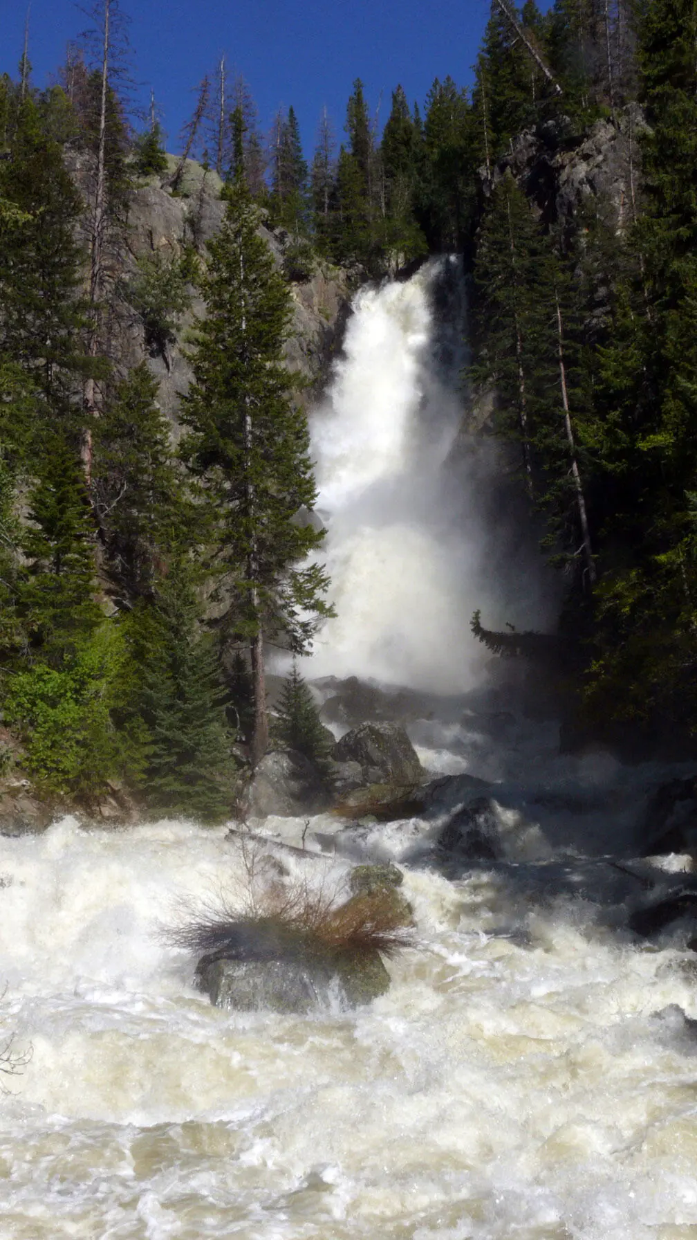
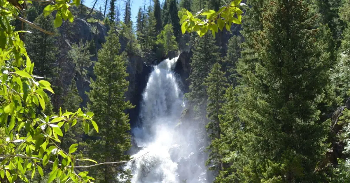
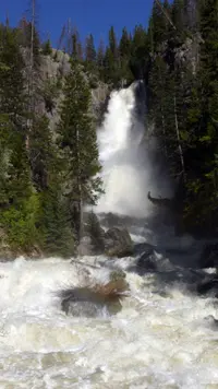
Most visitors come for the falls, and the sources give different heights for them. The Steamboat Pilot gives 283 feet. The Steamboat Springs Chamber says 280 feet in its description and 283 in its trail table. A Forest Service release of April 2026 calls the falls “nearly 300-foot-tall.” The Pilot describes them as “a winter’s worth of snowmelt crashing over a cliff into the canyon creek below.” In 2003 the Forest Service estimated 100,000 visitors a year. Ray George, then the district’s recreation program manager, called it the most heavily visited Forest Service area in Routt County. “Going down through Fish Creek is a beautiful place. It is just so convenient to town,” George said. The chamber reports the heaviest use at mid-day. A chamber guest blog from 2022 names weekend mornings as the busiest time.
The overlook and the trail to the base
Two short trails start at the parking area. The upper trail is paved and wheelchair accessible. The chamber gives it a quarter mile each way, ending at an overlook at 7,440 feet. A 2004 Pilot article put the round trip at less than a mile and noted interpretive signs along it on the area’s history, geology, and biology.
The lower trail is dirt, also about a quarter mile, and drops quickly to 7,340 feet and a wooden footbridge over Fish Creek at the foot of the falls. “During spring, the roar of the falls and the torrent of water sprays the bridge with a cool refreshing mist,” the Pilot wrote. The chamber’s blog says visitors pose on the bridge for family portraits and engagement photographs.
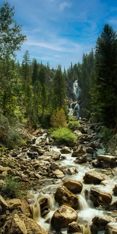
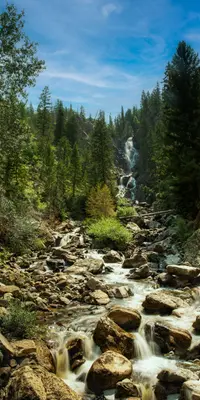
The falls change with the seasons. In spring the creek runs at its peak with snowmelt. By late summer, the chamber writes, clear water cascades down smooth rocks. In winter snowshoers use the trail and ice climbers work the frozen face. The vault toilet stays open all winter, but the picnic tables are not accessible then. Yampatika leads hikes here on Thursdays, Fridays and Saturdays through the summer, and runs snowshoe and outdoor-learning tours in winter.
Up the canyon to Long Lake
Past the footbridge, Trail 1102 climbs the canyon. The sources give different distances:
- Forest Service: Long Lake is 5 miles beyond the bridge.
- Chamber: Long Lake is 6.5 miles one way from the base of the falls, at 9,800 feet, and Upper Fish Creek Falls is 2.5 miles from the base, at 9,000 feet.
- Pilot: the hike to Long Lake is 6 miles.
The Pilot describes the route in order: 1. Steep switchbacks through heavy forest and aspen groves. 2. An opening into a green valley. 3. A second bridge, where hikers can turn to see the Yampa Valley and the town. 4. The Upper Falls, which the Pilot calls smaller and less crowded than the main falls. 5. More switchbacks and a meadow. 6. Long Lake.
At the lake the trail meets Trail 1101 and the Mountain View Trail, number 1032. The Pilot notes that the route continues on to the Continental Divide Trail.
The chamber blog lists wildflowers along the way: columbine, blue penstemon, red gilia, purple sticky geranium, yellow arnica and mules ears. It also notes elk, deer, moose and bear, which visitors should watch from a distance.
The trail was certified as a National Recreation Trail on Dec. 12, 1979. The application listed it at 6 miles, running from 7,300 to 10,500 feet. The Pilot adds that the area is open to bikers and horseback riders.
A shorter hike starts between the lower and upper lots and climbs to old uranium mines. The Pilot puts it at 1.5 miles and the chamber blog at 3. It looks back on the falls, the ski area and the Flat Tops.
Homesteaders, the Crawfords, and a land swap
Homesteaders held the falls area in 1901. A few years later it was sold to the Crawford family, one of Steamboat’s founding families, who kept the land open to the public. In the 1930s the Civilian Conservation Corps built roads and campgrounds there. For the next 50 years the city of Steamboat Springs and the Forest Service shared management of the land. According to the chamber’s 2022 blog, the falls inspired Coors in 1937 to put them on its can.
Later the land was sold to a group in California, and by the early 1980s it was threatened with development. The Pilot credits Bob Adams with saving it: he agreed to a land swap that traded a parcel in the southern part of the county for 160 acres around the falls. The Forest Service acquired the area in the early 1980s.
The bridge at the base
The Steamboat Springs History Museum holds a photograph dated 1922 that shows people crowded in the middle of the Fish Creek Falls bridge. Anne Maloney photographed a wooden bridge at the base on Dec. 3, 1939, and the bridge across the creek again in 1942. Both prints carry the stamp of the Hildreth Studio. In the late 1980s, the Pilot reports, the community came together to restore the bridge.
Over the years since, high water has scoured the bridge abutments and weakened them. That led to a brief closure in 2023 and now a closure every spring, according to the Forest Service release of April 2, 2026:
- When: April 1 to July 1, during high water.
- What is closed: the bridge and about four miles of Trail 1102. Visitors may walk down to the bridge but not past it.
- How long: the closure may be used each year through 2027, depending on the repair schedule.
A temporary fix makes the bridge safe only at lower creek flows and with a weight limit on how many people stand on it. The Forest Service has a design for a permanent replacement and is pursuing funding.
Notable Events
- 1901The Fish Creek Falls area first belonged to homesteaders. steamboatpilot.com
- 1901The land was sold to the Crawford family, who kept it open to the public. steamboatpilot.com
- 1930sThe Civilian Conservation Corps built roads and campgrounds in the area. steamboatpilot.com
- 1937Fish Creek Falls inspired the Coors brewing company to use it on its can. steamboatchamber.com
- 1979The trail was certified as an NRT. nrtapplication.org
- 1980sThe Forest Service acquired the Fish Creek Falls area. steamboatpilot.com
- 1980sAfter development threats, Bob Adams agreed to a land swap that traded southern Routt County land for 160 acres around the falls. steamboatpilot.com
People
- Bob Adams, Instrumental in preserving the area through a land swap for 160 acres around the falls (Early 1980s).
Sources
- fs.usda.gov/r02/mbrtb/recreation/trails/fish-creek-falls-trailhead-trail-1102
- fs.usda.gov/r02/mbrtb/alerts
- fs.usda.gov/r02/mbrtb/conditions
- steamboatchamber.com/activities/hiking/fish-creek-falls
- fs.usda.gov/r02/mbrtb/recreation/fish-creek-falls-picnic-site
- fs.usda.gov/r02/mbrtb/newsroom/releases/annual-temporary-closure-fish-creek-falls-bridge-place
- steamboatpilot.com/explore-steamboat/cascading-falls-welcome-visitors-hikers
- photos.steamboathistory.org/detail/7511
- photos.steamboathistory.org/detail/8285
- photos.steamboathistory.org/detail/8392
- steamboatpilot.com/news/fish-creek-falls-a-must-see-for-visitors
- steamboatpilot.com/news/steamboats-fish-creek-falls-a-wondrous-site
- steamboatchamber.com/blog/post/six-reasons-to-visit-fish-creek-falls
- usgs.gov/media/images/fish-creek-falls-colorado
- nrtapplication.org/trails/fish-creek-falls-trail-1102