.jpg)
.jpg)
.jpg)
Crack-in-the-Ground Trailhead
Christmas Valley, Oregon, Lake County, Oregon. Volcanic fissure; Year round.
Details

- Where
- Christmas Valley, Oregon, Lake County, OR. No street address stated. Directions
- Getting there
- From Christmas Valley, Oregon, head east on the Christmas Valley Highway for approximately 1 mile. Turn north (left) onto Crack-in-the-Ground Road and continue for about 7 miles, being sure to turn left onto Lava Craters Road, following signs to Crack-in-the-Ground.
- Fees
- No fees.
- Access
- Trail open to foot travel only; motor vehicles, mountain bikes, and equestrians prohibited. Access is via rugged dirt roads that may be impassable at times; four-wheel drive vehicles are highly recommended. No drinking water available.
- Phone
- 541-947-6100
- Managed by
- Bureau of Land Management, Lakeview District Office.
- Coordinates
- 43.33281, -120.676.
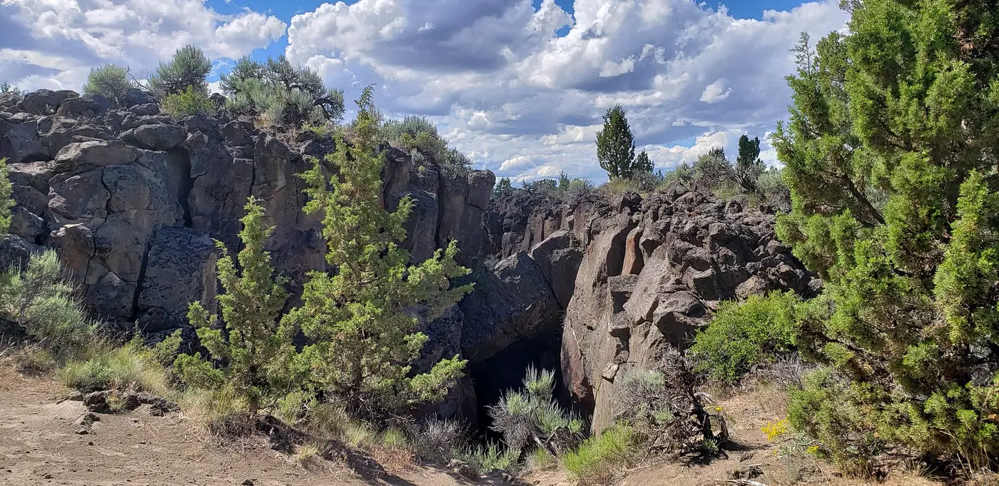
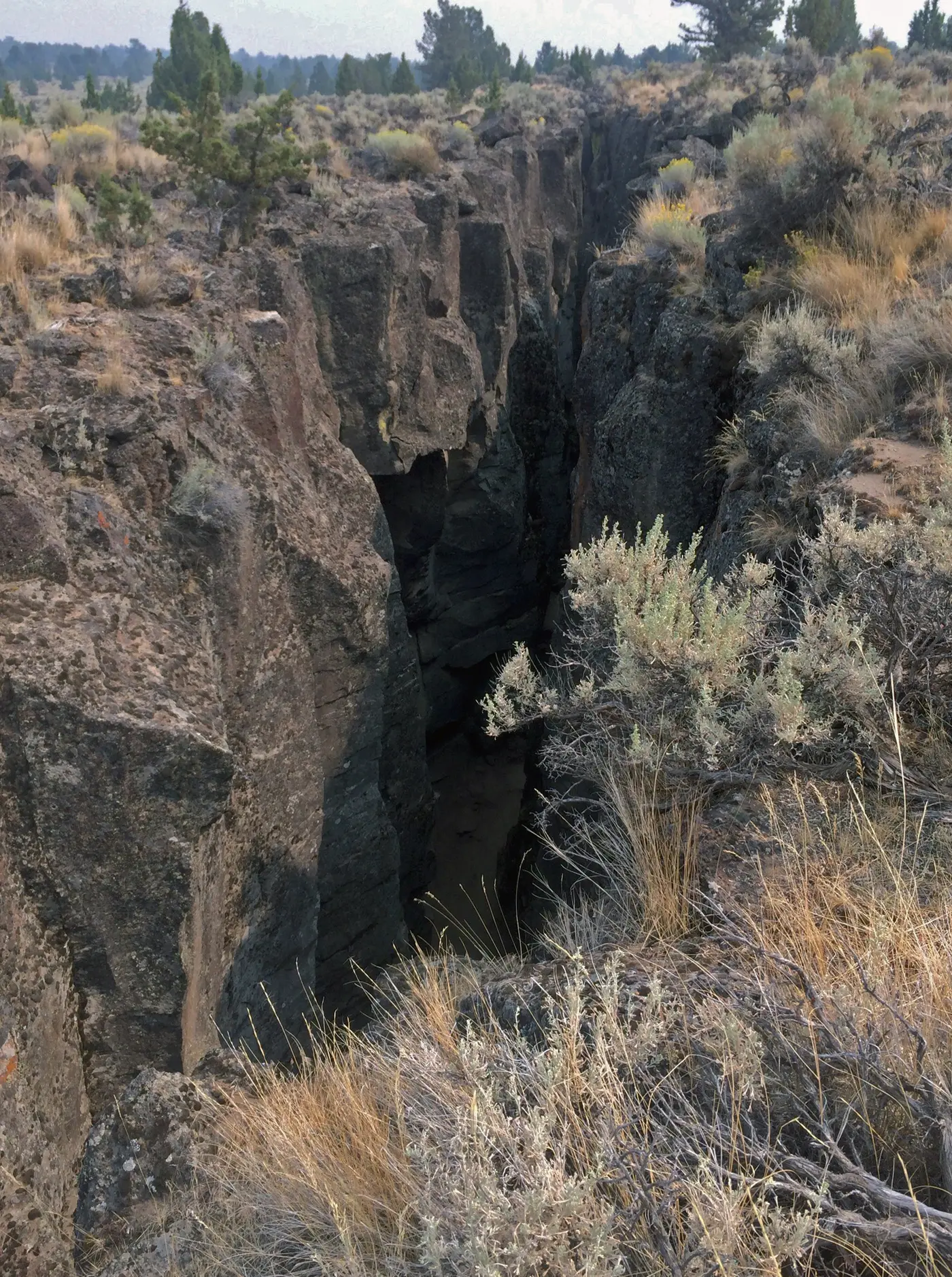
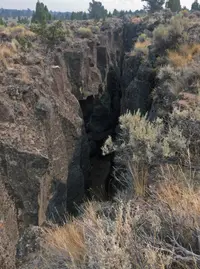
North of Christmas Valley the road turns to gravel and climbs out of the valley onto the surrounding steppe. After about seven miles it reaches a parking area. From there a Bureau of Land Management footpath leads three-tenths of a mile east across the upland to the Crack. At the surface the Crack is as wide as fifteen feet, but the geologist David Sherrod writes in the Oregon Encyclopedia that in some places “the gape may lie unseen” until a walker nearly stumbles upon it.
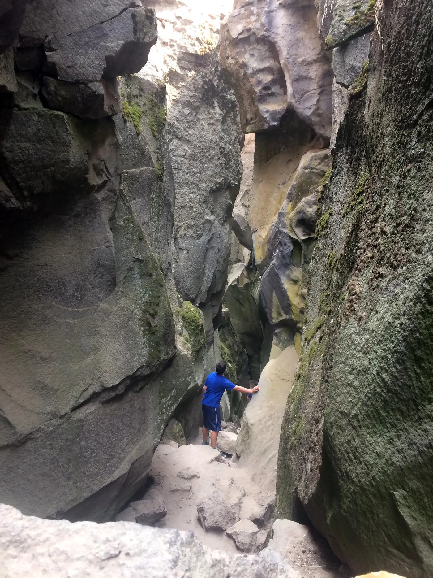
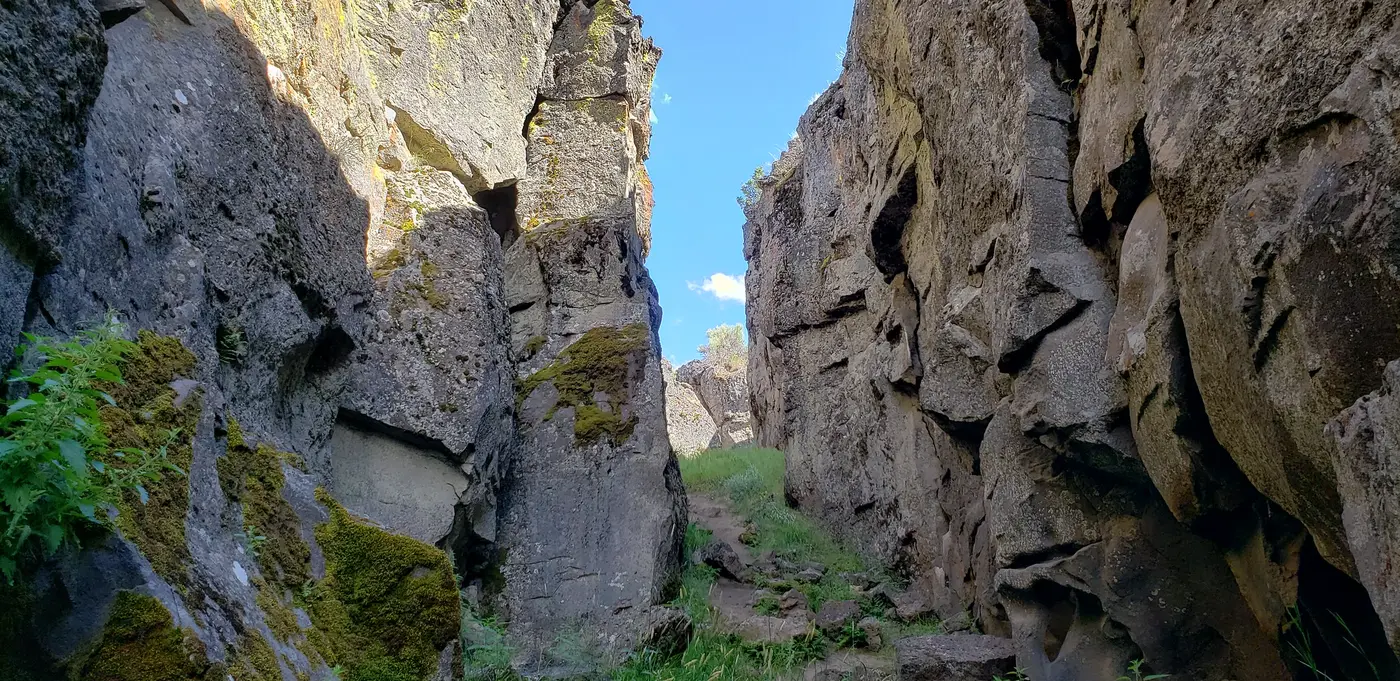
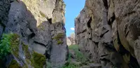
Below that rim lies a fissure more than two miles long and as deep as seventy feet. The BLM keeps a trail about two miles long along its floor, on sand and rock, with seventy feet of elevation gain. The trail is open to foot travel only, in every season, and no fee is charged.
Between two walls of lava
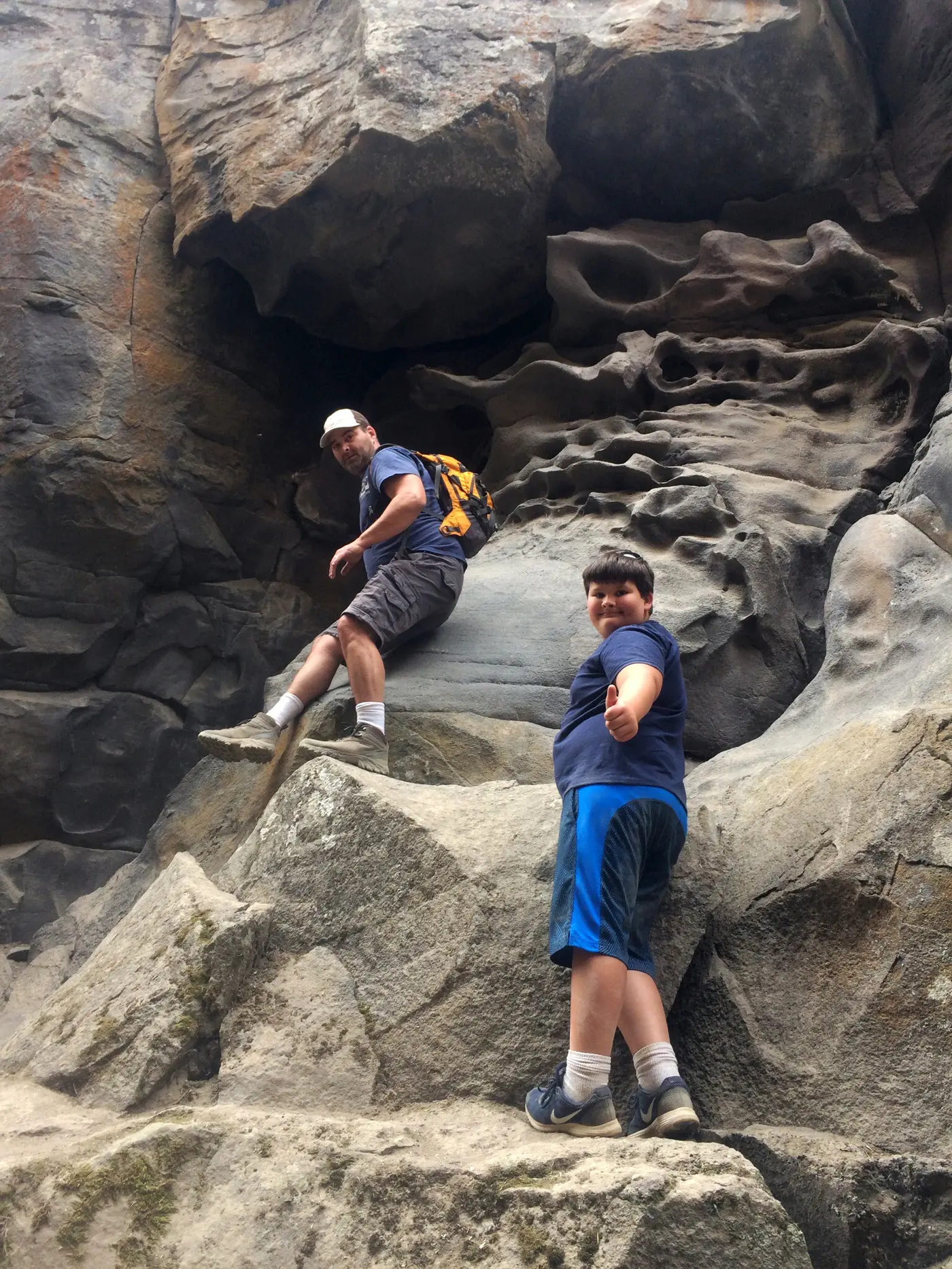
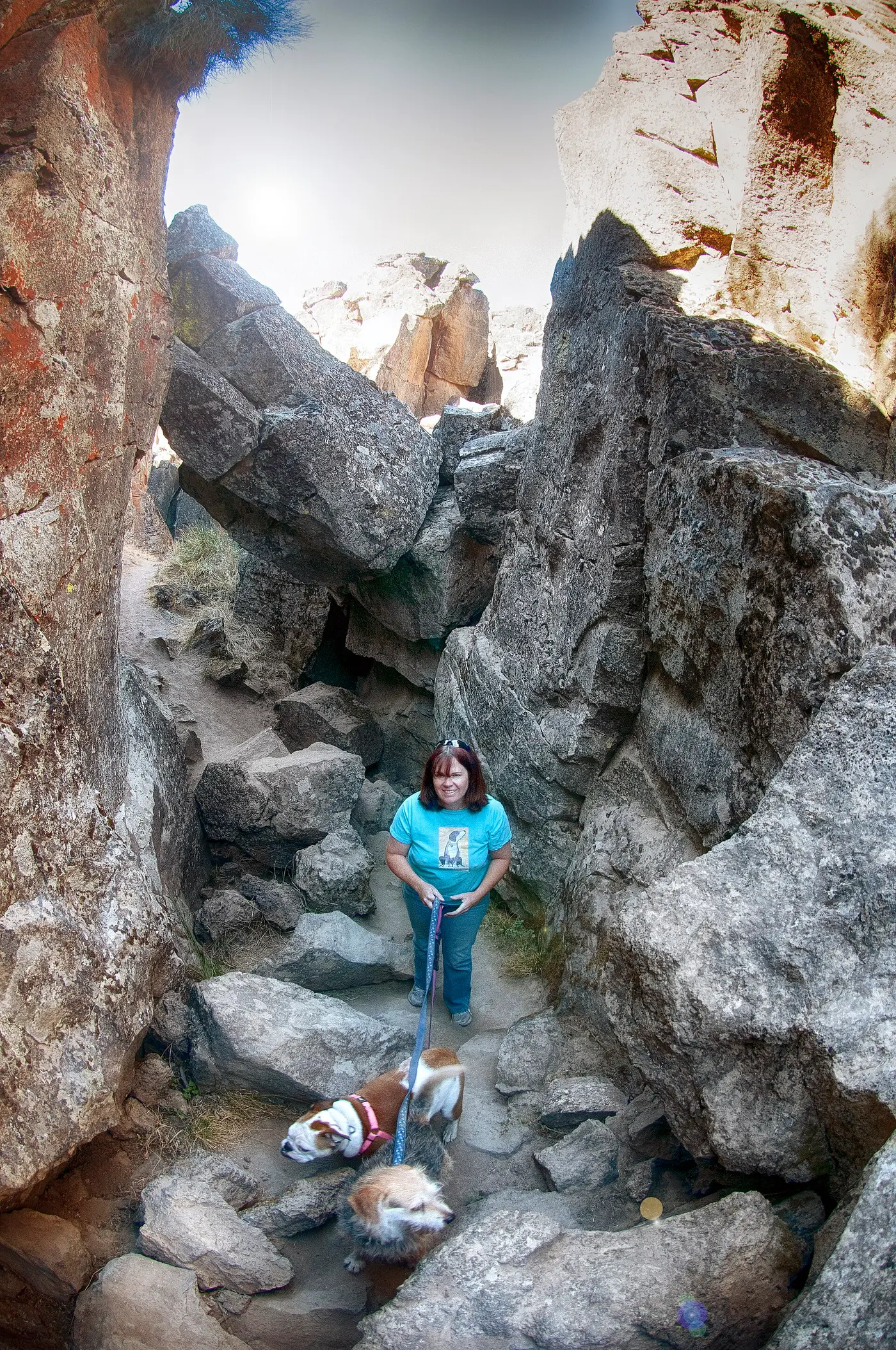
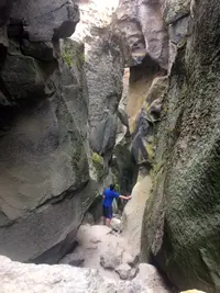
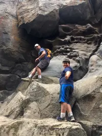
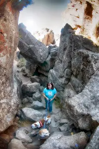
The walls are rough and irregular. They are cut through lava from Green Mountain, a shield volcano to the northwest, and in the walls of the Crack two or more of its flows stand at least seventy feet thick. Where the floor is narrowest, a person can touch both walls with outstretched arms. In several places the walls have slumped and bridged the gap, and those fallen blocks give access to the deeper parts of the fissure. In the shaded bottom the air can be as much as twenty degrees cooler than at the surface. In 1964 the geologists Norman V. Peterson and Edward A. Groh reported that winter ice sometimes lasts through the summer in the deeper, cavernous places, where cold air is trapped.
In November 2025 the Central Oregon Daily meteorologist Scott Elnes went down into the fissure with the geologist Hal DeShow. “So, when you’re walking through Crack in the Ground, you’re looking up at a lava flow on either side of you, and you can just puzzle piece those lava flows back together,” DeShow said.
The fissure ends differently at each end. At the northwest end, Peterson and Groh found that a tongue of lava from the Four Craters lava field “piled up, tumbled into, filled, and buried the chasm for several hundred yards.” The Four Craters field is black, spiny aa lava, with four cinder cones rising 250 to 400 feet above it. At the southern end the crack runs into lake sediments that mark the north shoreline of prehistoric Christmas Lake and disappears.
The site has no drinking water. The nearest services are in Christmas Valley, about two hours southeast of Bend. On Green Mountain the BLM runs a primitive campground with six campsites, a vault toilet, picnic tables, and fire grates. The fire lookout on the summit is staffed from June through October.
Picnics and ice cream at Christmas Lake
Homesteaders in the area knew the fissure for many years. In 1964 Reuben Long of Fort Rock wrote to Peterson and Groh that as a boy living at Christmas Lake he used to explore “The Crack,” as it was called locally. He remembered that the homesteaders went there to hold picnics and make ice cream, using ice they found in caves in the chasm.
Peterson worked as a geologist for the Oregon Department of Geology and Mineral Industries, and Groh was a private geologist in Portland. They published their description of the fissure in the September 1964 issue of The Ore Bin. “For lack of any official name for it,” they wrote, “the feature is referred to simply as ‘Crack-in-the-Ground.’” Their route began on the east side of Silver Lake on Oregon Highway 31. It ran 19 paved miles northeast to Christmas Valley Lodge, one mile east on gravel, and four miles north on graded dirt. From there a rough, bouldery road wound northwest through the sagebrush, and they warned that the last few miles were not suitable for cars with low clearance. The BLM still recommends four-wheel drive and warns that the dirt roads may be impassable at times.
According to Sherrod, the Crack is older than human occupation of the region, and nothing is known of its use by the Northern Paiute or other Indigenous people. He writes that, as hunters, they likely came upon it. Like the picnicking homesteaders who came after them, they may have enjoyed the cool summer air at the bottom.
A fault, a fold, and a disputed age
Sherrod describes the Crack as the surface trace of an earthquake fault, where the northeast side has dropped about thirty feet. The lava at the surface did not break into a sharp cliff. Instead it flexed and draped across the fault, and the bending opened stretching fractures along the line of the fold. He compares it to a slightly softened sheet of wax, which at first folds and then cracks along the fold. The fault runs deep into the Earth’s upper crust. The crack affects only the uppermost layers and narrows abruptly downward. Peterson and Groh traced the crack to a shallow, sunken block about two miles wide that settled as the Four Craters erupted, with the Crack forming along its western edge.
DeShow places the crack within the stretching of the Basin and Range, the slow pulling apart of the Earth’s crust across Utah, Nevada, eastern California, and southeastern Oregon. “One is that it’s tectonic plates, moving at the rate your fingernails grow,” he said of the possible causes. “The other is it represents one or two big earthquakes. And in one earthquake, you can split the Earth by two meters.” The BLM credits the dry climate for the crack’s survival: in such an arid region, erosion and sediment have filled very little of it.
The sources disagree on its age. In 1964 Peterson and Groh concluded that the Four Craters eruptions, the sinking of the block, and the opening of the fracture “probably took place no more than 1,000 years ago.” The Fort Rock Valley Historical Society says the Crack and the lava field were more recently dated at about 14,000 years old. The society reads the lake sediments at the southern end as evidence that ancient Lake Fort Rock rose no higher than that level in the 14,000 years since. Sherrod holds that the Crack must be older than about 14,000 years, because Four Craters lava of that age spilled over its existing edge and ran a few tens of feet along its floor. Trenches dug across the floor have never gone deeper than about seven feet. They stopped in an old soil that is known only to be older than the Mazama Ash, which is 7,600 years old.
The Crack is also slowly filling. Sherrod gives its depth in 2021 as seventy feet and writes that it was once deeper, before sidewall collapse and windblown sand began to fill it. He adds that sand may eventually fill it entirely. On the upper limit of its age, DeShow points to the lava the crack splits, which is about three quarters of a million years old. “Whether it happened a thousand years ago or 740,000 years ago, we’re not sure,” he said.
People
- Hal DeShow, Geologist interviewed to explain Crack in the Ground.
- Reuben Long, Fort Rock resident who reported local homesteader history of the fissure.