Burro Creek Recreation Site Trailhead
Mohave County, Arizona.
Details

- Where
- Mohave County, AZ. No street address stated. Directions
- Getting there
- Via a 1.25 mile paved road from U.S. Highway 93 at mile post 140.2.
- Access
- No water hookups at campsites; drinking water provided at various locations throughout the campground; flush toilets at 2 locations and 1 dump station.
- Walk-in or reserve
- Reservations for the group site, sites 7 & 9, and 10-17, at least 7 days in advance; sites 1-6, 8, and 18-23 first-come first-serve.
- Phone
- (928)718-3700
- Managed by
- Kingman Field Office.
- Coordinates
- 34.53605, -113.45188.
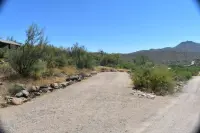
A paved spur leaves U.S. Highway 93 at milepost 140.2, one mile south of the Burro Creek Bridge, and drops to the creek. There the water stands in deep pools beside the campground and saguaros climb the canyon cliffs above. The Bureau of Land Management gives the spur’s length as 1.25 miles in one place and 1.5 miles in its driving directions. At the bottom, at 1,960 feet, the Burro Creek Recreation Site sits in a transition zone between the upper reaches of the Sonoran Desert and the lower reaches of the Mojave. The BLM calls it a long-favored stop for travelers on the highway.
Twenty-three sites and a desert garden
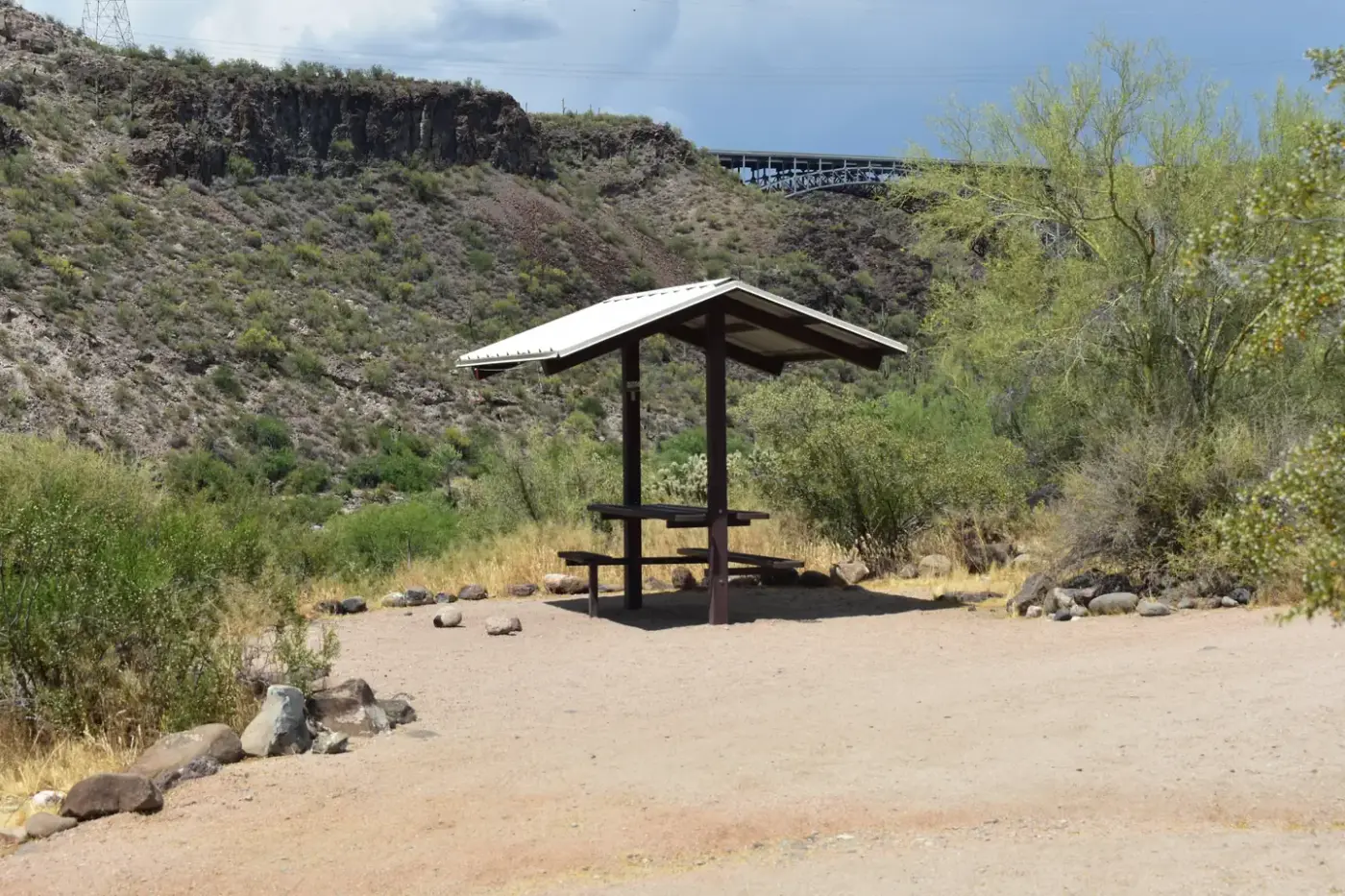
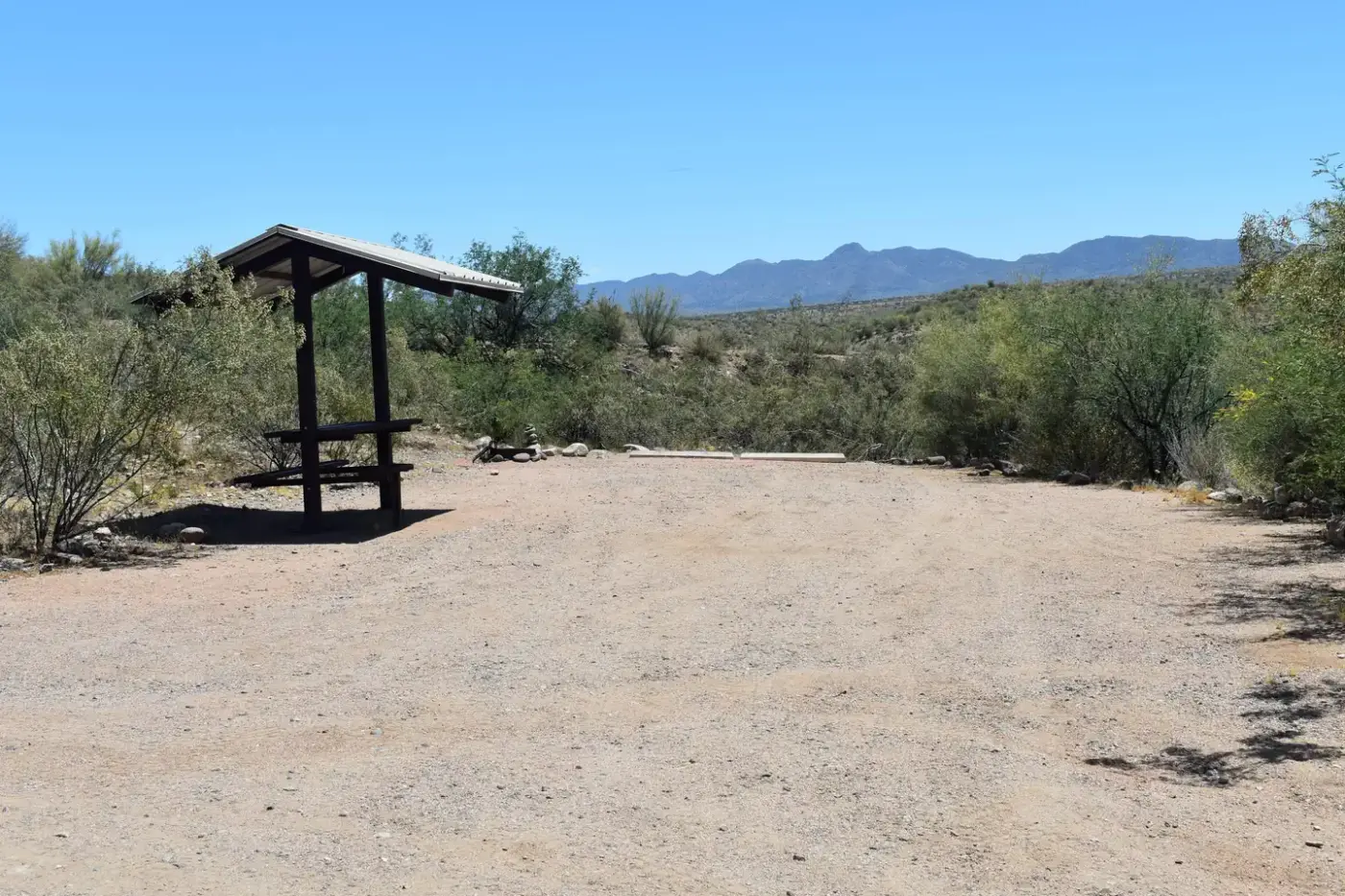
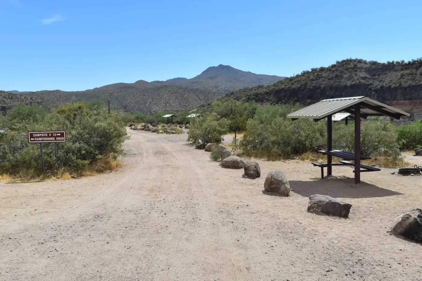
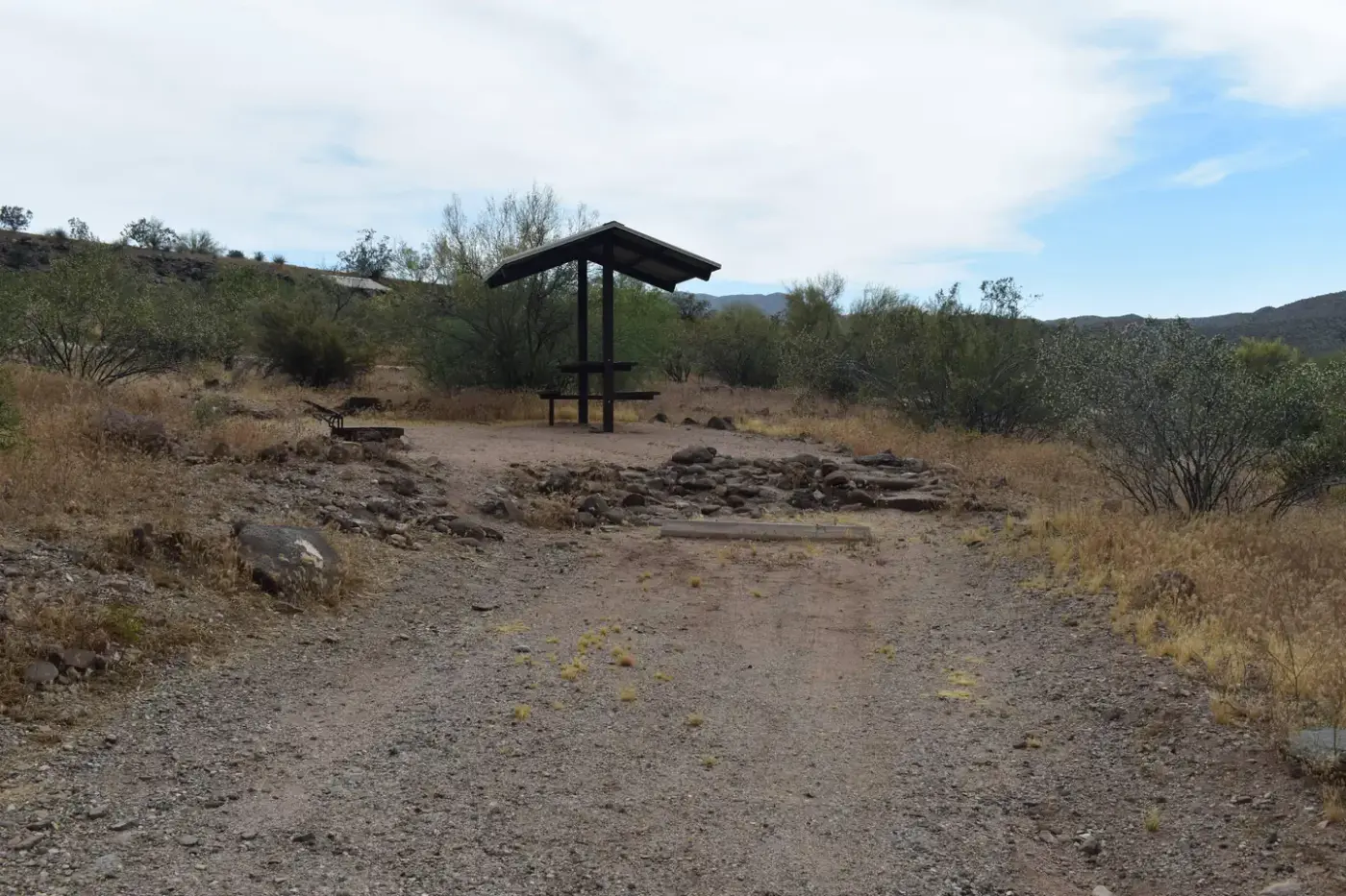
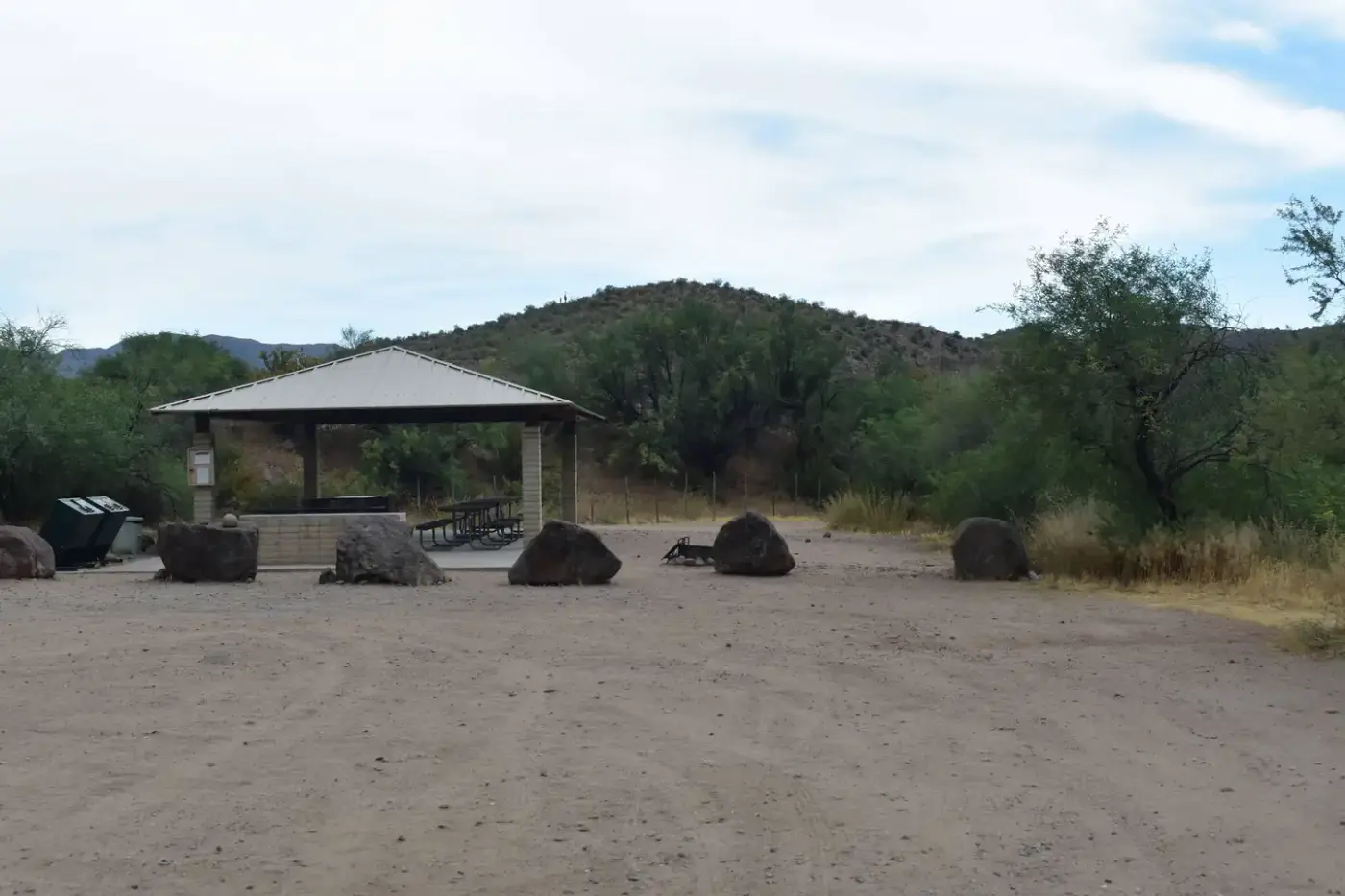
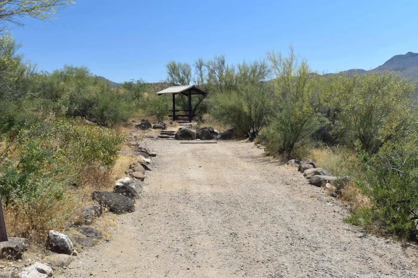
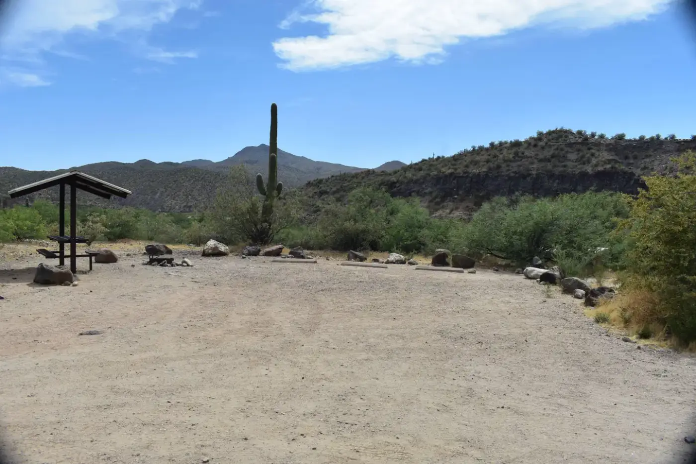
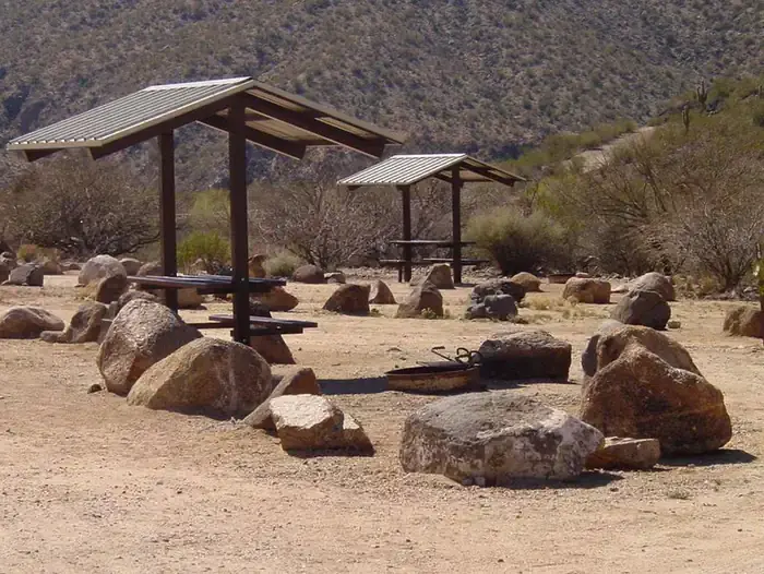
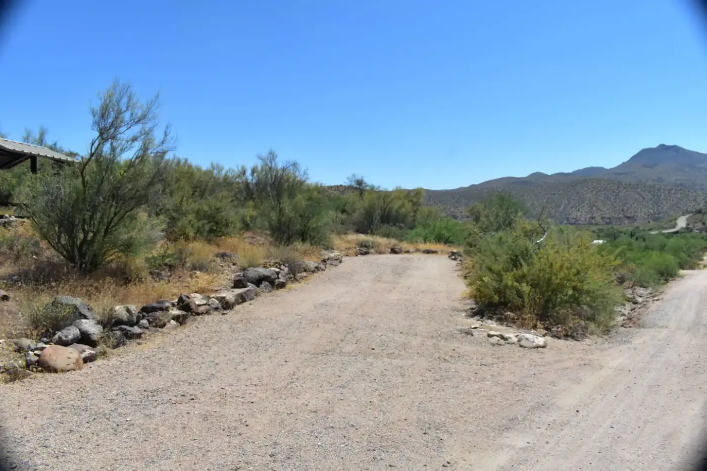
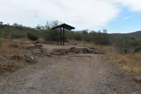
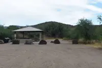
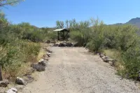
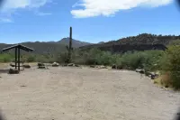
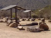
The campground has 23 individual sites, one group site, and two day-use sites. They have shaded picnic tables and fire rings with grates, and grills stand at the group site and the day-use area. The day-use area has three picnic shelters. There are two restrooms with flush toilets: the lower one in the day-use area, the upper one near site 12, each with a water fountain outside. The sites have no hookups. Drinking water comes from spigots placed through the loops. No firewood is sold. Quiet hours run from 10 p.m. to 6 a.m.
Two interpretive paths leave from camp. The Desert Garden holds what the BLM describes as a large variety of native cacti, along a packed-dirt path with a wooden bench that has no arms. The Watchable Wildlife path runs over looser gravel. An accessibility survey the BLM posted in June 2026 found some signs on both paths missing or too faded to read easily. Around the camp grow saguaro, cholla and barrel cactus, creosote bush, palo verde, and catclaw. On the creek banks below stand willow and cottonwood among riparian shrubs.
Trails lead from camp down to the water for wading and rockhounding. The agency names sites 7, 8, and 9 as the best for watching birds. Its list includes raptors, cactus wren, Gambel’s quail, Gila woodpecker, great horned owl, great blue heron, vermilion flycatcher, and cliff swallow. Desert bighorn sheep are occasionally seen on the cliffs above the creek. Javelina, raccoons, coyotes, and foxes are known to use the area. The BLM calls the country desolate in the warm summer months. From October through April it cools, and when winter and spring bring enough rain, wildflowers show from March through May.
The host’s morning rounds
From 2019 the campground host was Randolyn “Randy” Funk, a retired science teacher. She had volunteered at National Park Service and Forest Service sites and had meant always to move on somewhere new, but Burro Creek kept bringing her back. In a BLM profile published in April 2026, she described her day. It began with a walk through the campground to check sites, greet campers, and answer questions. More rounds followed through the day and evening, explaining reservations and site tags. “Most of my job is helping people feel comfortable and informed,” she said. “You have to have patience. You have to like talking to people.” She watched for what she called “informal interpretation moments,” a chance to tell a camper about wildlife or local geology.
The profile says visitors come to rockhound, birdwatch, hunt, or relax by the wash, and that many return year after year as regulars. It also reported that Funk’s time at Burro Creek was ending as she moved closer to family.
Forty miles or fifty-seven
The water at the campground starts far upstream. Tom Carpenter traced the creek in the March 2003 issue of Arizona Highways. He wrote that it rises in the rocky southern reaches below Mount Hope, on the 100,000-acre Spanish land grant called Luis Maria Baca Grant Float No. 5, south of Seligman in Yavapai County. By his account it flows south unchecked for 40 miles and joins the Big Sandy River above the townsite of Signal in southern Mohave County. The BLM gives the creek’s length as 57 miles.
Nine miles of the creek run through the 27,440-acre Upper Burro Creek Wilderness. The BLM calls Burro Creek one of the few streams in Arizona to flow relatively undisturbed into the lower desert. In the wilderness it cuts through incised bedrock and runs deep, in clear blue pools linked by small waterfalls. The wilderness has no formal trails.
Carpenter’s route into that country left Highway 93 at milepost 132, which the BLM places about 7.5 miles south of Wikieup. He followed a dirt road signed “Burro Creek Crossing Road,” where a second sign warned “Primitive Road. Use at your own risk.” Fourteen and a half miles on, the road reached Six Mile Crossing, where the Yavapai–Mohave county line meets the creek. He could not learn where the name came from: “My reliable references for name origins are mum on the matter.” He wrote that a traveler picks up the scent of water before the tops of the cottonwoods appear around the last bend. He saw mosquitofish and longfin dace in the pools and named javelinas, herons, toads, soft-shelled turtles, raptors, and rattlesnakes among the life the stream draws. About 8 miles off he could see the tailings dam of the Phelps Dodge-Bagdad copper mine.
Grinding stones, cow ponies, and a 1991 campground
Carpenter wrote that volcanic activity shaped much of this landscape 7 million years ago. It left a jumble of metamorphic and sedimentary formations that scientists describe as “complicated geology.” “Cowboys just call it rough country,” he added. In 1962 Arizona Highways noted that U.S. 93 crossed Burro Creek in a deep, sheer-walled canyon about twenty miles southeast of Wikieup, with good rock collecting over several square miles.
People came long before the highway. Grinding stones and projectile points suggest that Indians lived in the Burro Creek vicinity, probably during seasonal migrations, beginning as early as A.D. 600. Cattlemen followed in the 1870s. They lived along the creek and worked tough cow ponies up and down the terrain, moving their herds with the seasons. By 2003 a riparian improvement project at Six Mile Crossing had cleared the cattle from that area. The project joined the BLM, the Arizona State Land Department, the Byner Cattle Company, and the Phelps Dodge-Bagdad Copper Corporation.
The campground’s facilities have been in operation since 1991 under the BLM’s Kingman Field Office. On October 30, 1998, the field office set a limit of 14 days of camping in any 28-day period on the lands it manages. On June 6, 2020, a four-month restroom renovation began. It brought new water, septic, and vent lines, along with new toilets, stall partitions, sinks, fountains, doors, and mirrors. Outside, the roof was replaced and solar panels were installed to power downward-shielded lights for safety after dark. In January 2022 the campground began taking reservations for the group site and for sites 7, 9, and 10 through 17. Sites 1 through 6, 8, and 18 through 23 are still held for whoever pulls in first.
Notable Events
- 1870sCattlemen who lived along Burro Creek have worked their tough cow ponies up and down the rough terrain, moving their herds with the seasons, since the 1870s. arizonahighways.com
- 1991The Burro Creek Campground's facilities have been in operation since 1991. blm.gov
- 2020On June 6 the Kingman Field Office will begin a four-month restroom renovation project at Burro Creek Campground, updating plumbing, replacing most interior fixtures, replacing the roof, and installing solar panels. blm.gov
- Volcanic activity defined much of the area's landscape 7 million years ago; scientists describe the resulting jumble of metamorphic and sedimentary rock formations as complicated geology. arizonahighways.com
- Archaeological findings - grinding stones and projectile points - suggest that Indians lived in the Burro Creek vicinity, probably during seasonal migrations, beginning as early as A.D. 600. arizonahighways.com
People
- Amanda Dodson, Kingman Field Manager.
Sources
- blm.gov/visit/burro-creek-campground
- blm.gov/blog/2026-04-06/volunteers-power-public-lands-across-colorado-river-district
- flickr.com/search/?text=Burro%20Creek%20Campground%20Arizona
- blm.gov/visit/burro-creek-recreation-site
- recreation.gov/camping/campgrounds/10000305
- arizonahighways.com/archive/issues/chapter/Doc.469.Chapter.4
- arizonahighways.com/archive/issues/chapter/Doc.1381.Chapter.12
- blm.gov/visit/upper-burro-creek-wilderness
- blm.gov/press-release/blm-announces-recreational-improvements-burro-creek-campground
- blm.gov/visit/burro-creek-campground