Big Four Ice Caves Trailhead
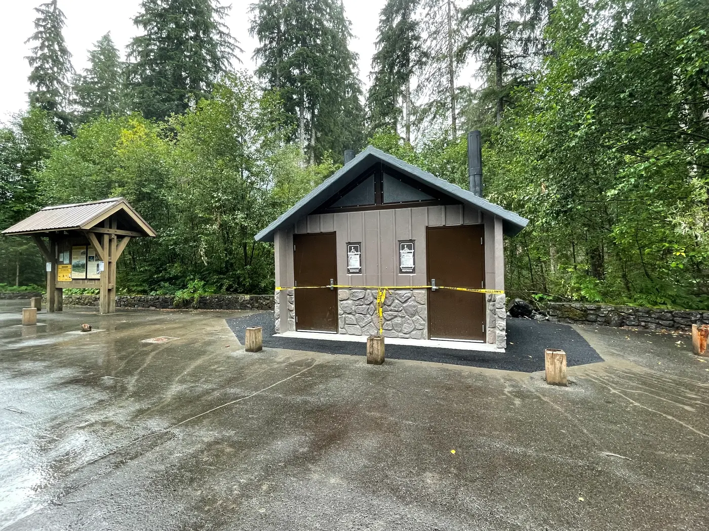
Granite Falls, Snohomish County, Washington. Trailhead.
Details

- Where
- 33515 Mtn. Loop Highway, Granite Falls, WA 33515. Directions
- When
- Open 24 hours/day.
- Season
- Ice Caves are at the bottom of an avalanche zone. The avalanche debris melts out during summer to form the caves, which typically do not become visible until mid July.
- Getting there
- From the Verlot Public Service Center (11 miles east of Granite Falls, WA), head east on the Mt. Loop Highway 14.5 miles to the Big Four Picnic Area and Ice Caves Trailhead.
- Fees
- Day Use: $5 per vehicle per day; $30 per annual.
- Access
- WARNING: The caves and area below the cliffs are extremely dangerous. Rock and ice fall is a hazard year round.
- Walk-in or reserve
- No reservations required or available.
- Phone
- (360) 691-7791
- Managed by
- Mount Baker-Snoqualmie National Forest, Darrington Ranger District.
- Coordinates
- 48.06823056, -121.5132861.
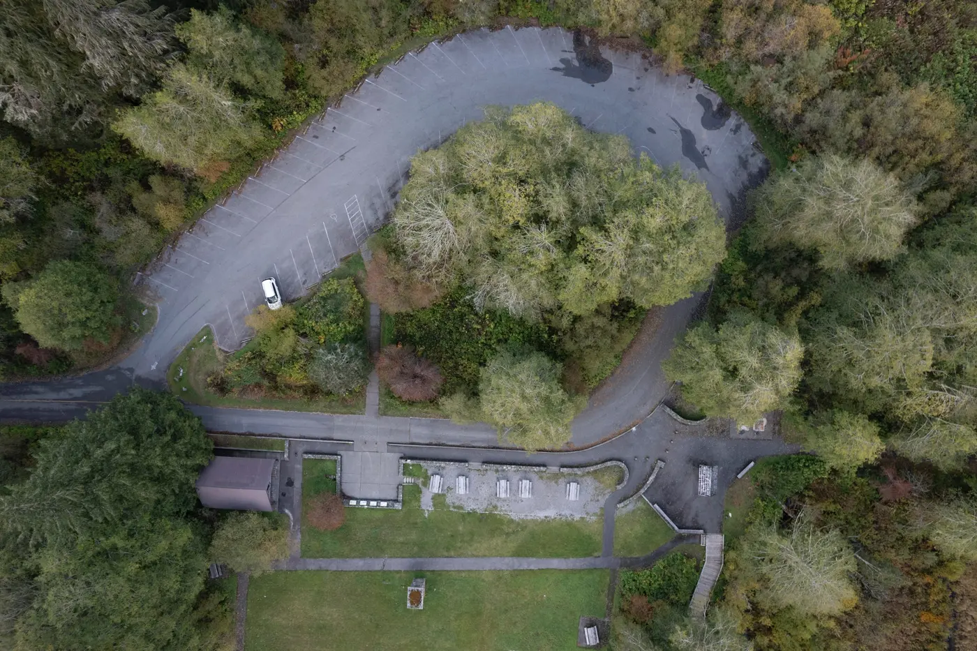
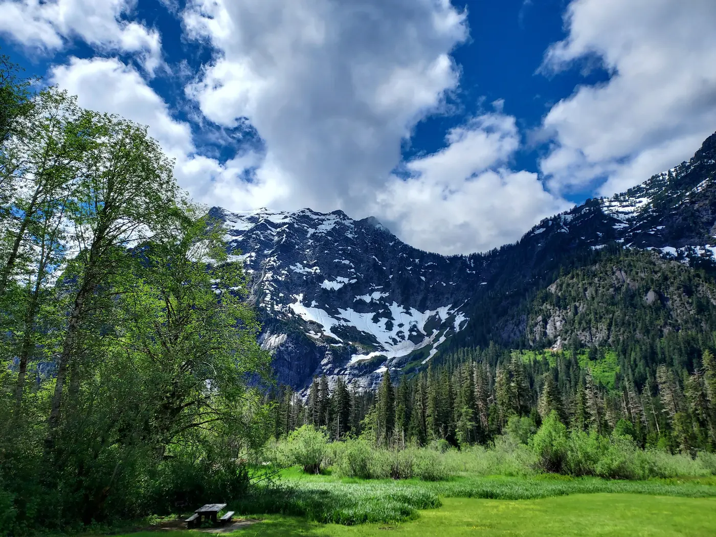
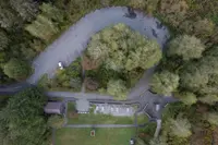
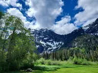
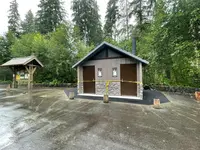
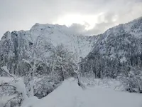
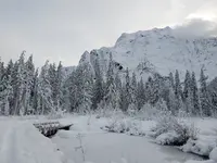
A fireplace stands by itself in a clearing on the south side of the Mountain Loop Highway, 14.5 miles east of the Verlot Public Service Center, at 1,640 feet. Its hearth sits well above the grass. Picnic tables and barbecue grills are set around it, among old concrete walks that a Darrington history site calls “sidewalks to nowhere.” Behind them rises the north wall of Big Four Mountain, 6,153 feet at the summit. The Big Four Picnic Area occupies the grounds of a resort that burned in 1949. A paved connector of 0.2 mile runs east to the Ice Caves Trailhead, the start of Big Four Ice Caves Trail 723. The Darrington Ranger District of the Mount Baker-Snoqualmie National Forest manages both sites. It counts them among the most popular stops on the Mountain Loop Scenic Byway. Dogs go on leash, and there is no drinking water.
The trail to the foot of the north wall
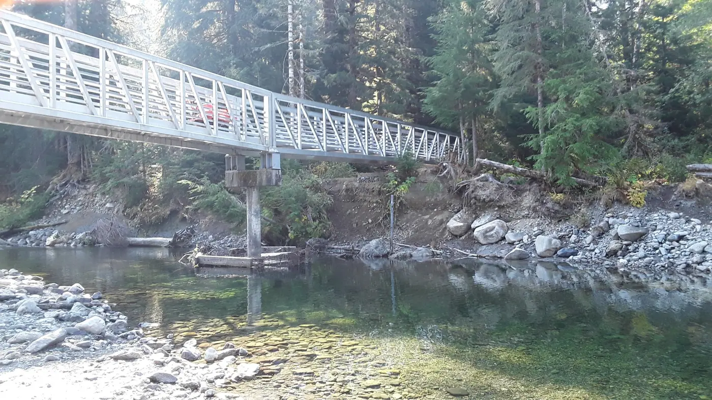
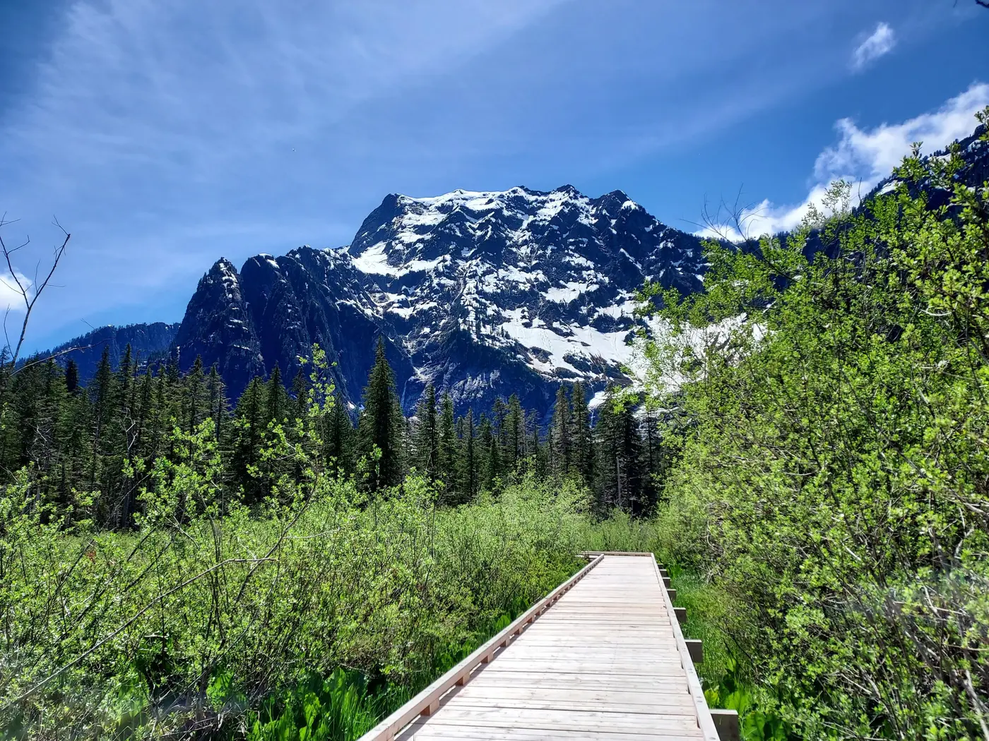
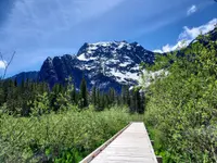
From the trailhead the path runs through hemlock and fir for half a mile to a junction. One way leads to the picnic area, part of a three-quarter-mile loop on elevated boardwalks over a marsh. Songbirds gather there in spring, and the Forest Service tells walkers to watch for signs of beaver. The other way crosses the South Fork of the Stillaguamish River on a footbridge. The Forest Service asks hikers to go no farther than that bridge when avalanches are running.
Past the river the trail grows harder and the woods turn to Pacific silver fir, a forest more common at higher elevations. Trees snapped off by avalanches become more frequent. Then the forest thins to small scattered trees among plants usually found in high alpine country, although the whole climb from the trailhead is only 200 feet. The trail ends at a viewing area facing the avalanche ice piled at the foot of the wall.
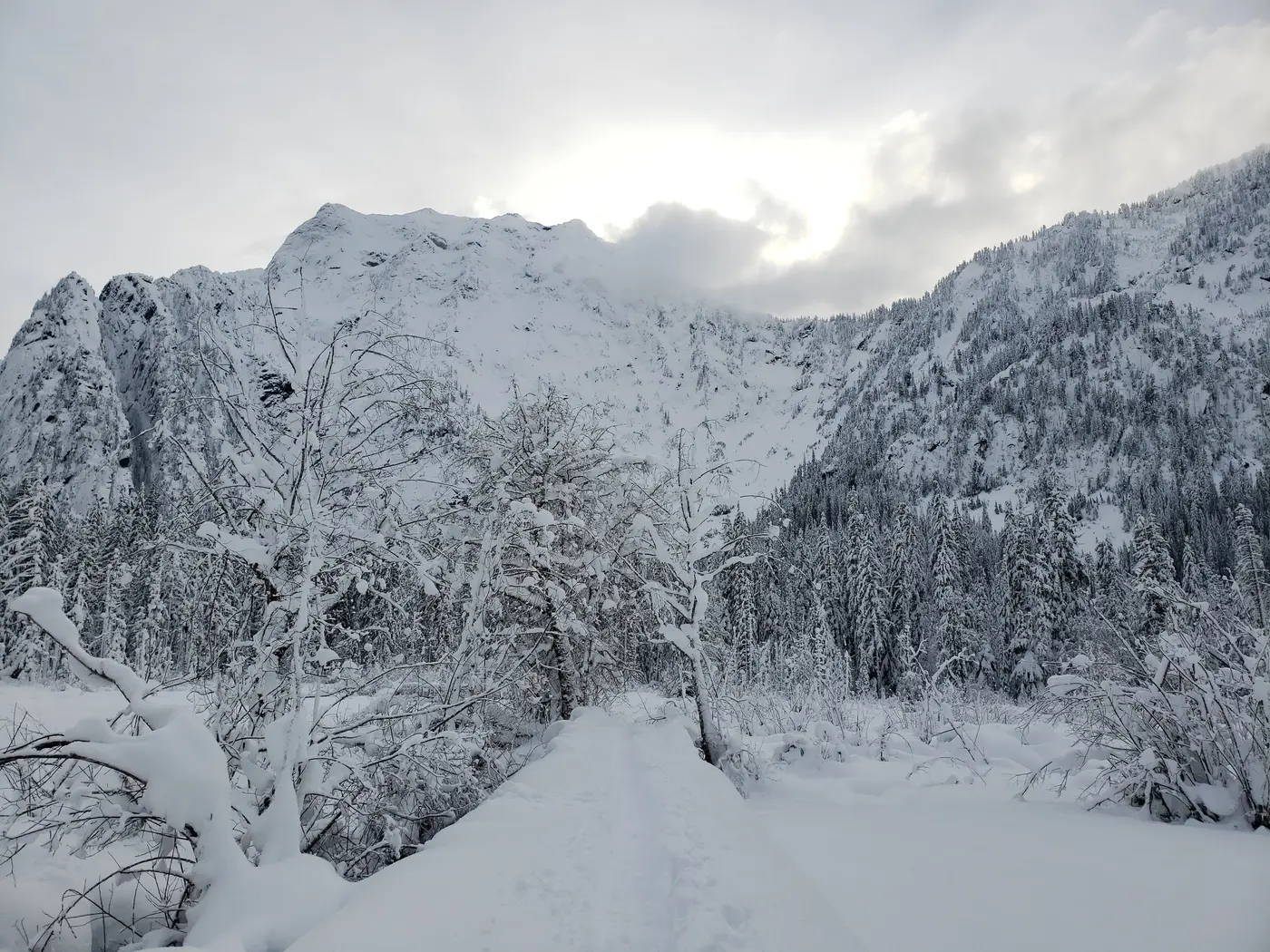
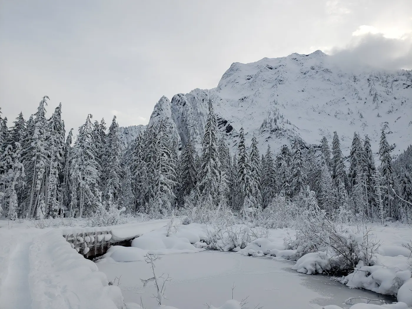
The caves are melt outlets at the base of that ice. The Forest Service says they typically are not visible until mid-July and are usually exposed from late July or August through October. In winter, when there is enough snow, snowshoers and cross-country skiers travel in to the picnic area from the Deer Creek Snow Play Area.
Ice in the mountain’s shadow
Doug Clark, a geologist at Western Washington University, told the Seattle Times in 2026 that the mountain’s upper reaches face a perfect zero degrees north. The face drops some 4,000 feet to the valley floor. Snow that gathers on it avalanches down often and packs into ice at the base, a formation the bryologist Miles Berkey calls a “glacierette.” Snowmelt bores holes through it, and warm air moving through the holes widens them into caves.
The shadow and the ice keep the valley floor cold and damp. Mountain hemlock grows here, a tree Berkey said normally lives about 2,000 feet higher. Its trunks stand broken at the top, and its branches lean north, likely bent that way by avalanches year after year. By Berkey’s count the valley takes some 140 inches of precipitation a year. For his master’s thesis he catalogued more than 100 species of mosses and liverworts at the mountain’s base. One is the false apple moss, known in Washington only from a patch in this valley that has shrunk to about the size of a beverage coaster. Another, the gouty moss, has no other confirmed location in the state. Neither does a liverwort, Macrodiplophyllum imbricatum. Berkey said such species are normally found only hundreds of miles north and much higher up, and their exact locations are kept vague. “Like so many things with climate change, they could just go away quietly without saying anything,” Berkey said.
The ice has been thinning. Mauri Pelto, a Nichols College glaciologist who has watched the caves for more than a decade, said the summers of 2005 and 2015 brought them closest to vanishing. In those years the formations shrank to less than a hundredth of a square kilometer, then recovered in the snowier years that followed. In July 2026 the country had just come through its second-warmest winter on record, after several drought summers. Pelto told the Times that the 2026 summer might be the first in living memory when the ice melted away entirely. The caves would still form each winter given enough snow, he said, but a year-round formation would become a seasonal one. “Almost like it’s the last canary alive,” Pelto said. Jason and Marsha Rice had driven up from Marysville with their son, Patrick, and said the ice was what brought them. “I’m not coming out to see a wall,” Jason Rice said.
The ice comes down
The Forest Service’s warning is plain: never enter the caves, and never leave the trail. Rock and ice fall all year, and tons of ice drop from the cave ceilings every year.
Catherine Shields, 27, of Bothell, died at the caves in 1998. The Everett Herald reported she was killed by collapsing snow in August. The Seattle Times wrote that she was killed by falling ice when one of the caves partially collapsed in late 1998. In 2010 Grace Tam, 11, of Marysville, was standing on a rock about 20 feet from the front of a cave, waiting for a photograph, when ice broke free and struck her. Her family sued the Forest Service, and the suit was dismissed. A sign at the trail viewpoint, installed in her memory, now warns visitors.
On July 6, 2015, dozens of people had come up out of the afternoon heat; it was around 80 degrees in Granite Falls at 5 p.m. The day before, a visitor had filmed a shelf of ice breaking from the lip over the entrance while hikers scattered. Chloe Jakubowski, 18, was with friends just inside the cave when she heard a loud crack. At about 5:38 p.m. tons of ice and rock came down near the mouth. She crouched behind a giant rock of ice. When she stood, a woman beside her lay unconscious. There was no cell reception. Jakubowski said she and her friends drove 15 miles to a payphone at a campsite. More than 100 rescuers responded. Anna Santana, 34, visiting from California, was killed and buried deep in the cave, and it took crews days to reach her. Her brother, David Santana, 25, of Lynnwood, died of his injuries that October. Shari Ireton, spokeswoman for the Snohomish County Sheriff’s Office, described the caves that week: “They are essentially a frozen-over avalanche chute sitting over a waterfall sitting below a giant rock chute.” The Forest Service closed the trail and added patrols to keep people out.
A resort at the end of the rails
The caves were already a draw a century earlier, for guests of the Big Four Inn. Wyatt and Bethel Rucker had settled in Everett in 1890. HistoryLink places their sawmill at Lake Stevens; the Darrington site puts it at Hartford. In 1915 the brothers began operating the Hartford Eastern, a branch line from Hartford to the mining town of Monte Cristo. They ran it mainly to bring timber to their mill, but it also carried passengers. Tourists rode it for the mountain scenery, and the Ruckers’ hotel at Silverton did well. So, according to HistoryLink, they chose a wide valley about four miles east of Silverton for an upscale resort. The place had been called Camp Glacier, for the icy snowfields at the base of the mountain, or Trout Marsh homestead. They named the inn for the mountain instead. At certain seasons a snowfield high on its eastern face takes the shape of the number 4, though that snowfield cannot be seen from the inn site.
HistoryLink says the Ruckers spent $150,000 building the inn and its grounds in the spring of 1921. The Forest Service gives 1920 as the year it was built. Lumber came up by rail from the brothers’ mill. The Ruckers dammed Perry Creek for water and for electricity to heat and light the place, and the dam made an artificial lake. Every room and cabin had hot and cold running water. The three-story lodge had 50 rooms by the Forest Service’s count and 53 by HistoryLink’s. Around it were cabins with stone fireplaces of their own, an annex, a power house, tennis courts, and a nine-hole golf course. Bill Cayford of Stanwood brought the Granite Falls Historical Society a map of the complex in its heyday. It showed a wye just past the inn for turning the rail cars.
The doors opened at dawn on July 2, 1921. Guests rode up on the Hartford Eastern gas car, called the “Galloping Goose.” The Ruckers kept the line open through winter as far as Big Four, despite washouts and snow avalanches, so the inn drew skiers and tobogganers. By 1924, the Darrington site records, 6,000 guests had checked in, at $6.00 for two including meals. They played golf, rode horses, hiked, ate and danced, and drank in the lobby by the fireplace. Many celebrities of the day signed their names on the lobby walls. The Granite Falls Historical Society notes that the chimney stood broadside to the front of the hotel while the fireplace opening faced down the length of the lobby. The ninety-degree turn made the chimney look wider from outside.
The Goose, the war, and the fire
After the 1929 crash the wealthy stopped coming, and floods kept damaging the rail line. U. M. Dickey, a former officer of the Hartford Eastern, bought the inn in 1932. By 1936 the rails had been sold as scrap steel for Japan, to clear the way for the road that became the Mountain Loop Highway.
Before the rails came up, a correspondent for the Snohomish County Forum rode the Goose to Big Four with Walter Johnson, supervisor of the inn properties. The account ran July 2, 1936. The driver was Martin Johnson, the inn’s caretaker, whose “kit of tools consists principally of a jackknife and a hunk of haywire.” In places the track hung in midair over washed-out trestles. Crossing Red Bridge, Johnson heard a knocking he could not find in the engine. The writer reported that it was his own heart, “as we bumped over the unsupported rails with nothing underneath except the Stillaguamish roaring over the rocks too many feet below.” The inn had not been open for several seasons, yet the writer found it spotless. Mrs. Johnson cooked a trout dinner, and the party hiked to the ice caves and loafed in the lobby. The writer swam briefly in Crystal Lake near the inn. “A dollar will get you five,” the correspondent wrote, “that someday the drive from Granite Falls to Monte Cristo and on around to Darrington and Arlington will rank with Yellowstone, Rainier, and other ‘must’ trips of tourists in the West.”
In 1938 Oscar Hellstrom, a sportswriter who owned a Swedish newspaper chain, bought the resort and put $60,000 into it. In the spring of 1941 the Arlington Times described the gravel road in. It was “all fairly good except the last three miles which is a one-way pioneer road with turnouts. This is chucky at some spots, but is entirely passable.” Then came the war. The Darrington site says the U.S. Coast Guard occupied the inn from September 1942 to June 1943 as a duty station to train enlistees. HistoryLink calls it a rest center for servicemen between assignments. The somewhat dilapidated inn reopened after the war. By 1949 its owner, William O. Petraborg of Seattle, had closed it again because of road construction.
At 6:30 a.m. on Wednesday, September 7, 1949, caretaker Fay “40” Watts found the main building on fire. The wooden inn “burned like kindling,” in the words of the historian Philip Woodhouse, and the annex went with it. Forest rangers and the highway crew working nearby helped Watts keep the flames from the gas pump and tank, the cabins, and the surrounding timber. The inn stood on Forest Service land. Within a few years the owner was required to remove what was left, the special use permit was not renewed, and the cabins were hauled away.
The Granite Falls Historical Society says the chimney survived the fire and was later taken down for safety. The Forest Service lists hearth and chimney as what remains. The lobby fireplace still stands in the picnic ground, its hearth raised with the old first floor about eight feet off the ground. Winter photographs from the inn’s years show the reason: snow almost as high as the rail car, and cabins nearly buried, each chimney wearing an extra cap against the snow and wind.
Notable Events
- 1911The Mountain Loop road was a major undertaking, with initial discussions around 1911 and completion of the loop thirty years later. gfhistory.org
- 1920The picnic area is the site of the former three-story 50-room Big 4 Inn, built in 1920 and destroyed by fire in 1949; all that remains is the hearth and chimney from the lodge fireplace. fs.usda.gov
- 1921The Rucker brothers spent $150,000 constructing the inn and its amenities in the spring of 1921 and dammed Perry Creek to provide water and electricity for the resort. historylink.org
- 1930sThe tracks were removed in the mid-1930s and the route became an automobile ride. gfhistory.org
- 1936By 1936 the railroad rails had been sold and would be taken up and shipped to Japan as scrap steel. gfhistory.org
- 1936The Hartford Eastern tracks were removed in 1936 to make way for construction of the road that became the Mountain Loop Highway. historylink.org
- 1942In September 1942 the U.S. Coast Guard occupied the inn as a Duty Station to train enlistees, continuing until June 1943. discoverdarrington.com
- 1949The inn burned down after having been used by the Coast Guard during WWII. gfhistory.org
- 1949Early on September 7, 1949, fire broke out in the main building; caretaker Fay Watts discovered it at 6:30 a.m. and the 53-room inn burned. historylink.org
- 1998Catherine Shields, 27, of Bothell, was killed by collapsing snow in August 1998. heraldnet.com
- 2005Pelto said the summers of 2005 and 2015 were the closest the caves had come to vanishing; following years brought enough snow to recover. seattletimes.com
- 2015After the July collapse the Forest Service closed access to the trail and added extra patrols to keep people out. heraldnet.com
- 2015David Santana, 25, died of his injuries three months after his sister was killed in the collapse at the Big Four Ice Caves. heraldnet.com
- 2015Pelto said the summers of 2005 and 2015 were the closest the caves had come to vanishing; following years brought enough snow to recover. seattletimes.com
- 2015One person was killed and five others were injured, two seriously, when tons of ice and rock collapsed near the mouth of the popular caves; a caller reported it after the cave-in occurred about 5:38 p.m., and more than 100 rescuers responded. seattletimes.com
People
- Bill Cayford, Stanwood resident who brought the historical society a detailed heyday map of the Big Four Inn complex.
- Martin Johnson, caretaker at Big Four Inn and chauffeur of the Galloping Goose.
- Walter Johnson, supervisor of the Big Four Inn properties (1936).
- Anna Santana, visitor killed in the collapse at the Big Four Ice Caves.
- Catherine Shields, visitor killed by collapsing snow (1998).
- David Santana, visitor who died of his injuries three months after the July 6 collapse.
- Grace Tam, 11-year-old visitor struck and killed by ice that broke free from the cave as she stood about 20 feet from its front waiting for a photograph (died five years before the report).
- Bethel Rucker, Everett sawmill operator whose brainchild was the Big Four Inn (1890-1921).
- Fay "40" Watts, inn caretaker who discovered the 1949 fire and kept it from the gas pumps, tanks and cabins (1949).
- Oscar Hellstrom, sportswriter and owner of a Swedish newspaper chain who purchased the resort (1938).
- U. M. Dickey, former officer of the Hartford Eastern who bought the inn (1932).
- William O. Petraborg, Seattle owner of the closed inn at the time of the 1949 fire (1949).
- Wyatt Rucker, Everett sawmill operator whose brainchild was the Big Four Inn (1890-1921).
- Doug Clark, Western Washington University geologist explaining the mountain's north-facing orientation.
- Jason Rice, Visitor who drove to see the caves with his family.
- Marsha Rice, Visitor who drove to see the caves with her family.
- Mauri Pelto, Nichols College glaciologist who has kept a close eye on the Big Four Ice Caves for more than a decade.
- Miles Berkey, Scientist and bryologist who cataloged the bryophytes at Big Four for his master's thesis.
- Patrick, Son of Jason and Marsha Rice who visited the caves with them.
Sources
- fs.usda.gov/r06/mbs/recreation/trails/big-four-ice-caves-trail-723
- fs.usda.gov/r06/mbs/recreation/big-four-picnic-area-ice-caves-trailhead
- seattletimes.com/seattle-news/climate-lab/scientists-eye-big-fours-ice-caves-as-they-could-melt-away-for-first-time-in-memory
- gfhistory.org/Big%20Four%20Inn.pdf
- historylink.org/File/8543
- discoverdarrington.com/history-2/historical-places/big-four-inn
- gfhistory.org/Goose%20trip.pdf
- seattletimes.com/seattle-news/people-possibly-injured-in-snohomish-big-four-ice-caves
- fs.usda.gov/r06/mbs/recreation/trails/big-four-ice-caves-trail-723
- heraldnet.com/2015/10/11/man-dies-of-injuries-3-months-after-collapse-at-big-four-ice-caves