Beacon Rock Trailhead
Skamania, Skamania County, Washington. Hiking trailhead in a year-round Washington state park; year-round.
Details

- Where
- 34841 State Route 14, Skamania, WA 34841. Directions
- When
- The Beacon Rock trail will experience multi-day closures each week on Tuesdays, Wednesdays, and Thursdays from October through the end of May for the replacement of trail decking.
- Getting there
- The park is just two miles from Skamania on state highway 14.
- Fees
- Discover Pass: $45 annual or $10 one-day; watercraft launch $7 for the day; overnight unattended vehicle $10 per night; moorage $1 per vessel foot; entrance fees vary.
- Hours
- 8:00 a.m. - Dusk year round.
- Access
- Beacon Rock trail has multi-day closures each week on Tuesdays, Wednesdays, and Thursdays from October 1 through the end of May for trail decking replacement (notification posted September 14, 2026, ends May 31, 2027); the trail is not accessible during closure periods.
- Walk-in or reserve
- Discover Pass required; one-day, annual, and other fees listed on the park page.
- Phone
- (509) 427-8265
- Website
- parks.wa.gov
- Managed by
- Washington State Parks.
- Established
- 1935.
- Coordinates
- 45.627945598453, -122.02392006929.
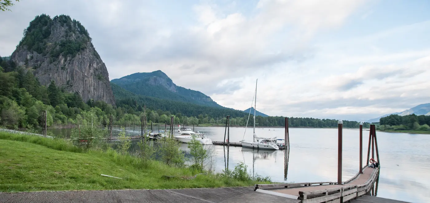
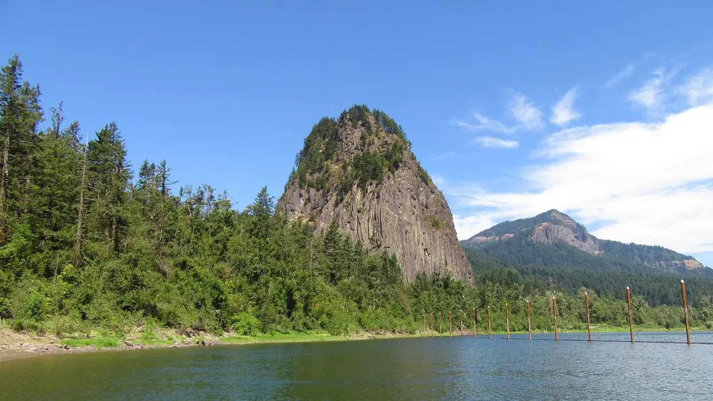
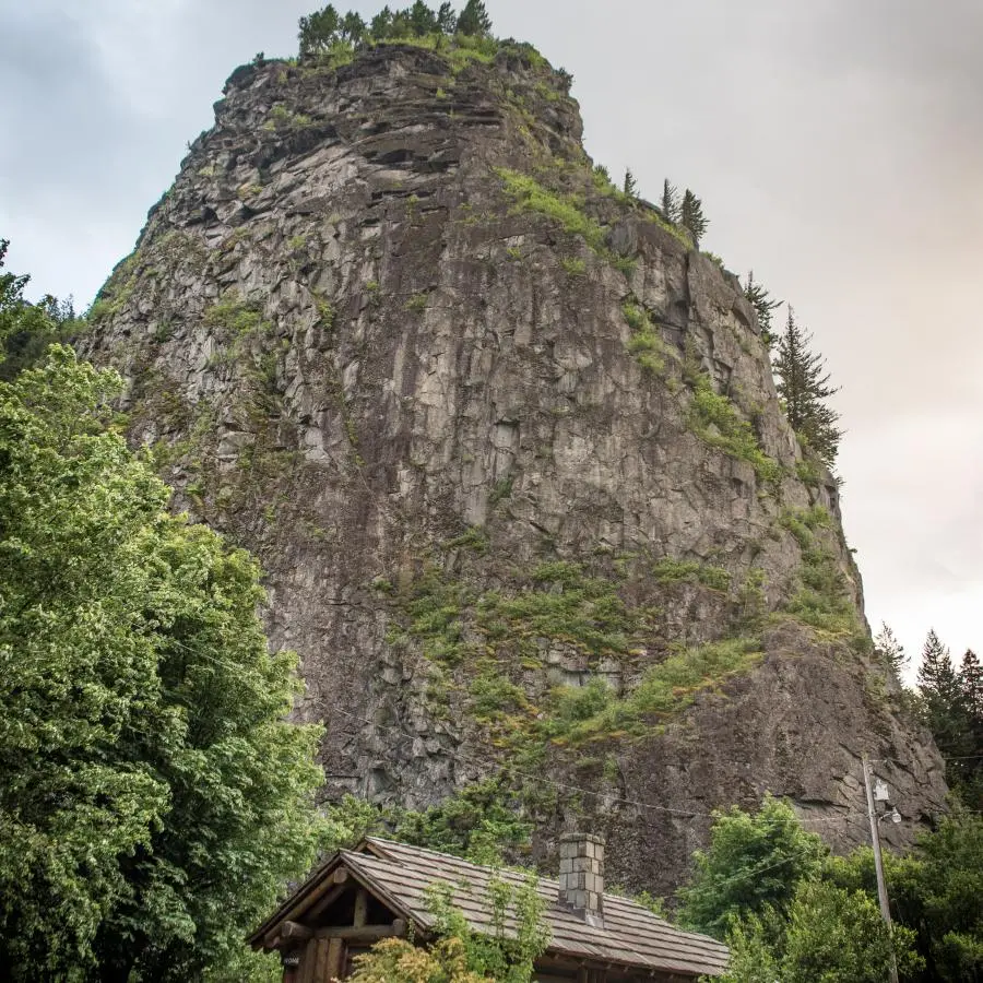
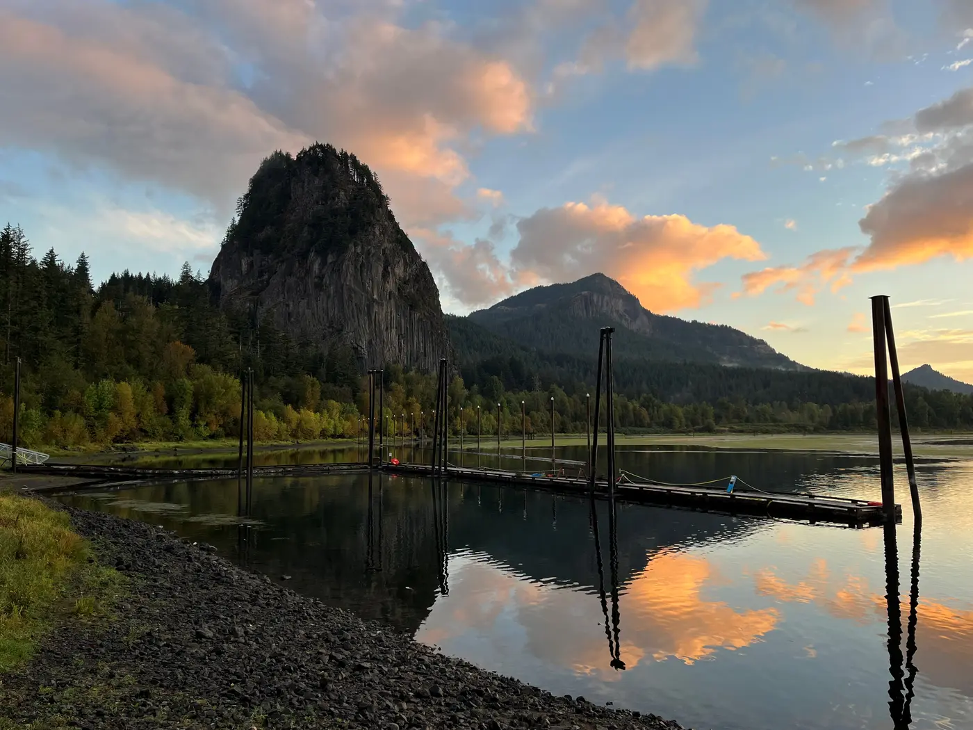
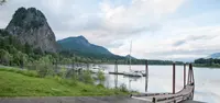
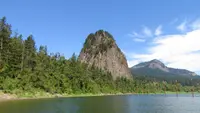
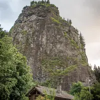
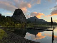
The Beacon Rock trail leaves State Route 14 about two miles from Skamania and climbs the stone itself. It is laid directly onto the side of the rock in a tight zigzag of turns above the Columbia River, with safety rails all the way to the top. The rock is the basalt core of an old volcano standing alone on the Washington shore. The National Park Service gives its height as 848 feet. Stevenson’s visitor bureau and the Northwest Power and Conservation Council put the top about 845 feet above the river. Washington State Parks runs it as the center of Beacon Rock State Park, which the state measures at 4,458 acres and keeps open from 8 a.m. to dusk year round.
Fifty-two turns to the top
The park counts 52 switchbacks. The Oregon Travel Information Council’s marker across the river says 51. The Park Service calls the route a mile long, and the City of Stevenson calls it an easy 1.5-mile hike. At the top is a viewpoint over the Gorge, which the park also lists for stargazing. Henry Biddle, who built the trail, wrote that from the summit “one looks down almost perpendicularly, as from an aeroplane,” across a range from Wind Mountain to Crown Point. A photograph on the Historical Marker Database looks east from high on the rock to the river and Bonneville Dam.
The trail’s decking is being replaced. A notice the park posted on September 14, 2026, closes the trail every Tuesday, Wednesday, and Thursday from October 1 through the end of May 2027. On those days the trail cannot be walked.
Biddle counted “probably not less than sixty species” of flowers on the rock, not including shrubs, blooming in crevices from April to November. He named crimson Pentstemon rupicola, which grows from cracks in the cliff face and blooms about the middle of May. Later comes pink Pentstemon richardsonii on the south side, mixed with bluebells. Mosses and lichens color the cliff gray, brown, and green, and he judged that coloring best in winter.
Climbers work the faces the trail avoids. The south and southeast faces close each February 1 and tentatively reopen in mid-July. The south face reopened on July 9, 2026. The northwest face stays open year round. The east face is permanently closed to protect rare species and cultural and historical resources.
The rest of the park lies behind the rock. The Hamilton Mountain trail starts in old-growth Douglas fir and passes Rodney Falls, Hardy Falls, and the Pool of the Winds. The Doetsch Walking Path is a paved, flat 1.2-mile loop through a former pasture of the Doetsch family ranch, with panels on the area’s history back to the Ice Age floods. The level River to Rock trail joins the Doetsch path to the foot of the rock. The Upper Campground sits in forest and was built by the Civilian Conservation Corps in 1935. In summer a stand called Better Together Scoops sells ice cream, small snacks, and drinks.
Che-che-op-tin and the Beaten rock
Washington State Parks describes the rock as the core of an extinct cinder cone that erupted about 57,000 years ago. The cone belongs to the Boring Volcanic Field, named for the town of Boring, Oregon. Around 15,000 years ago an ice dam on the Clark Fork in Idaho failed over and over, emptying Glacial Lake Missoula each time. The floods drove water, mud, and ice through the Gorge at up to 60 miles an hour and stripped away everything but the hard core.
Biddle, a geologist, described the rock in 1924 as the pipe through which lava reached the surface. Below ground the lava cooled into dense gray rock that split into pillars four to eight feet across near the base and as much as twenty feet higher up. On the sides of the rock the columns lie nearly horizontal. On the river side, where erosion has cut into the center, they stand vertical. For that reason he objected to calling the rock a monolith, a word he said “can not be properly used” for it. The Oregon marker calls it a monolith anyway, and adds that it “is claimed to be the second largest freestanding monolith in the world.”
The park lies within the traditional territories of Sahaptian and Coast Salish peoples. Their descendants include members of the Yakama Nation, the Confederated Tribes of Warm Springs, and other Chinook-speaking people. The cascades and rapids upstream, now drowned behind Bonneville and The Dalles dams, were an economic and cultural center of Indigenous life. Biddle recorded that the Cascade people called the rock Che-che-op-tin and could not explain the name. In 1904 carved wooden figures resembling totems were found under an overhang at the foot of the east face. They stood about three feet high and showed traces of red and black paint.
The sources disagree on when the Corps of Discovery first passed. The Park Service, the Council, and the 1938 marker at the rock’s base give October 31, 1805. Washington State Parks and Biddle give November 2, just after the party got through the Cascades three miles upriver. Clark wrote of “a remarkable high detached rock,” about 800 feet high and 400 paces around, “we call the Beaten rock.” Below it he could see no more rapids, only water that “had everry appearance of being effected by the tide.” The journals also note a large village about a mile downstream. Returning upriver on April 6, 1806, Lewis wrote of “the beacon rock which may be esteemed the head of tide water.” Biddle supposed the rock “must have seemed to them a beacon guiding them to the haven of their destination.”
The name did not hold. In 1811 Alexander Ross of the Astor expedition called the rock Inoshoack Castle. A map in the Wilkes expedition report, dated 1841, labels it Castle Rock, and that name stayed in general use until 1916. In that year the United States Board of Geographic Names ruled for Beacon Rock. The Columbian’s county history credits Biddle with changing the name back.
Ritz, Cooke, and the quarrymen
In the 1855 Yakima Treaty of Camp Stevens, some local tribes ceded the area under duress. They kept the right to harvest at their usual and accustomed places, the Cascades among them. Government surveys followed in 1865. The same year, river frontage that included the village below the rock was claimed under the Donation Land Claim Act. In 1870 Philip Ritz, namesake of Ritzville, bought the rock from the public domain and deeded it to Jay Cooke, the Philadelphia financier. Cooke’s relatives could tell Biddle only that he had not intended to build a castle on it. Cooke went bankrupt in the Panic of 1873. Biddle says he settled with his creditors and kept the rock for many years but let the taxes lapse, and part of it was sold to a neighbor for taxes.
Each source names a different threat. The Northwest Power and Conservation Council says the rock passed to the Northern Pacific Railroad, which planned in the 1880s to crush it into ballast. Biddle wrote that in 1904 Charles Ladd, of the Portland banking family, learned that people were trying to acquire the rock for a quarry. Ladd bought the tax-sold piece, and others acting through him bought the rest from Cooke, who was by then living at a great age in Philadelphia. Washington State Parks adds that in 1912 Charles and Sarah Ladd sold a two-thirds interest to the Columbia Contract Company. The company meant to dynamite the rock and barge the rubble to build jetties at the river’s mouth. The plan was shelved when a railroad company won a suit to condemn part of the property for a riverside line. The Columbian reports that by 1914 the Corps of Engineers, eyeing the rock as rubble for jetties near Astoria, had chiseled tunnels in and around it.
Climbers reached the top before any trail did. On August 24, 1901, Frank J. Smith and Charles Church of Portland and George Purser of White Salmon made the first ascent and fixed spikes and ropes at the hardest places. Mrs. Frank J. Smith later became the first woman to climb it. Climbers left their names on scraps of paper in a tin tobacco box on the summit. On October 1, 1914, E. C. Sammons led a party of 47 Mazamas to the top.
Biddle’s trail, 1915 to 1918
Henry Jonathan Biddle was born in Philadelphia, in 1862 by the Columbian’s account and in 1864 by the 1978 reprint of his monograph. He trained as a mining engineer at Yale and at the Royal Academy in Freiburg and farmed 360 acres on the Columbia east of Vancouver. He was a descendant of Nicholas Biddle, who edited the first edition of the Lewis and Clark journals in 1814. Ladd’s group sold him the rock in 1915, for $1 according to the Oregon marker. Ladd had always meant to protect the rock, and the deed carried a clause preserving it from defacement. Biddle wrote that he bought it “simply and wholly that I might build a trail to its summit.” By the state’s quotation, the idea of “building a model trail in perhaps the most difficult location in which a trail had ever been built appealed to me most strongly.”
Work began in October 1915 under Charles Johnson, a foreman from the building of the Columbia Highway. The cliff could not be surveyed ahead, so the crew drove a narrow cut forward and chose each next point as they reached it. Biddle compared the work to driving a tunnel, with room for only one man at the head. Early in 1916 a run of sleet and rain storms set in. Biddle wrote that an old Indian man living near the Cascades told the crew the weather was the gods’ anger at the blasting.
After eight months the crew reached gentler slopes. On May 16, 1916, Biddle climbed to the summit, staked out the rest of the route, and raised an American flag. It replaced what was left of the flag the 1901 party had planted.
Gravel, sand, cement, and even water went up on the backs of donkeys. Biddle built concrete slabs on the outer edge of the trail so the crew would not have to cut deeper into the rock. The finished trail ran about 4,500 feet from the North Bank Highway to within about 20 feet of the summit, where a narrow flight of steps finished the climb. It was 4 feet wide, with a maximum grade of 15 percent. It made 52 hairpin turns and crossed 22 wooden bridges and more than a hundred concrete slabs spanning fissures. Wire cable on iron stanchions guarded the steep stretches, and wrought-iron railings stood at many of the turns.
The trail was finished in April 1918 without the loss of a life or even a minor accident. The state puts Biddle’s cost at $10,000. The Oregon marker dates the work 1916 to 1918, and the reprint’s editor dates it 1917 and 1918. Biddle opened it free to the public, and by 1924 he counted thousands of climbers a year, with the Mazamas and the Oregon Trails Club making annual visits.
A gift the governor refused
Biddle died in Lakeview in 1928. His son Spencer Biddle and daughter Rebecca Biddle Wood offered the land for a state park. Governor Roland H. Hartley, who repeatedly vetoed state park appropriations during his 1929–1932 term, refused it. Samuel H. Boardman, superintendent of Oregon State Parks, then sought the land as an Oregon park inside Washington. His discussion with Rebecca’s husband, Erskine Wood, reached the regional papers, and lobbying for a Washington park followed.
The Columbian’s history dates the gift to 1932. The state records that its park committee accepted 265 acres on April 14, 1935. Biddle’s reprint dates the heirs’ deed April 15, 1935, for about 260 acres. Civilian Conservation Corps companies arrived in August 1935, including a company of Arkansas enrollees in October 1936, and worked until 1940. They replanted ground burned in a 1929 fire, built roads, a caretaker’s house, kitchens, and camps, and improved Biddle’s trail. In September 1937, 300 people attended the dedication of a plaque to Biddle. In 1938 Skamania County gave 2,227 acres of tax-delinquent land, and the Lewis and Clark Committee of Washington and Oregon set a marker at the foot of the rock.
Late in 1976, vandals damaged the trail badly enough to close it for several months. In 1987 the state bought the Doetsch farm, which includes the site of the village the expedition’s journals describe a mile below the rock.
Notable Events
- 1805The Lewis and Clark Expedition visited this location on October 31, 1805; Clark described a remarkable high detached rock the party called the Beaten rock. nps.gov
- 1811Alexander Ross of the Astor expedition called the rock Inoshoack Castle; it was known for years as Castle Rock. nwcouncil.org
- 1841The name Castle Rock appears on the map discussed by Biddle. columbiagorge.org
- 1855Some local tribes ceded ownership of the area to the US federal government under duress in the Yakima Treaty of Camp Stevens, keeping usual and accustomed resource rights. parks.wa.gov
- 1870Ritz deeded the rock to Cooke. columbiagorge.org
- 1873Jay Cooke became bankrupt in the financial panic, but afterwards settled with creditors and remained owner for many years. columbiagorge.org
- 1880sThe Northern Pacific Railroad planned to blast the rock and crush it into ballast. nwcouncil.org
- 1901Frank J. Smith, Charles Church and George Purser made the ascent. columbiagorge.org
- 1904Carved wooden figures resembling totems were found at the cliff base on the east side under an overhang. columbiagorge.org
- 1904Charles El Ladd bought the tax-sold portion after learning that people were trying to acquire the rock for quarry purposes. columbiagorge.org
- 1912Charles and Sarah Ladd sold a 2/3 interest in the property to the Columbia Contract Company to quarry stone from the rock to build the jetties at the mouth of the Columbia River. parks.wa.gov
- 1914A Mazamas party led by E. C. Sammons placed 47 people on the summit, described as undoubtedly the largest party before the trail. columbiagorge.org
- 1914The U.S. Corps of Engineers had chiseled tunnels in and around the rock while considering it rubble for jetties near Astoria. columbian.com
- 1915Ladd and associates sold the rock to Biddle with a deed clause preserving it from defacement. columbiagorge.org
- 1915Work commenced on the trail. columbiagorge.org
- 1915Vancouver geologist Henry J. Biddle purchased Beacon Rock and surrounding lands, saying he bought the parcel 'simply and wholly' that he might build a trail to its summit. parks.wa.gov
- 1916The United States Board of Geographic Names decided the current name should be Beacon Rock; Castle Rock had been generally used until then. columbiagorge.org
- 1916Biddle hoisted the American flag on the summit, replacing a fragment of the flag placed there in 1901; afterwards completion of the trail was no longer uncertain. columbiagorge.org
- 1917The reprint introduction dates Biddle's accomplishment of the trail during this period. columbiagorge.org
- 1918Biddle completed the trail to the top of Beacon Rock. history.columbian.com
- 1920Biddle acquired Beacon Rock and neighboring properties, built trails and picnic areas, and maintained them as public parks. history.columbian.com
- 1928Biddle died in Lakeview. history.columbian.com
- 1932Spencer and Rebecca Biddle Wood donated Beacon Rock and Hamilton Mountain to the state in memory of their father. history.columbian.com
- 1935Rebecca Biddle Wood and Spencer Biddle executed a deed transferring approximately 260 acres to Washington. columbiagorge.org
- 1935After Biddle donated it to the state, the landmark was designated a state park in 1935 under the original name given by Clark. nps.gov
- 1935Washington State established Beacon Rock as a park. oregontic.com
- 1935CCC Company 2945 arrived in August 1935 and Company 5709 with Arkansas enrollees in October 1936; CCC companies worked at the park until 1940. parks.wa.gov
- 1937A plaque commemorating the work of Henry Biddle was dedicated in a ceremony attended by 300 people. parks.wa.gov
- 1938The Skamania County Commissioners donated 2,227 acres of tax delinquent lands, dramatically increasing the size of the park. parks.wa.gov
- 1973The Second Annual Washington-Oregon Lewis and Clark Symposium took place at Beacon Rock State Park. columbiagorge.org
- 1976Extensive vandal damage closed the trail to the public for several months until repairs. columbiagorge.org
People
- Charles Church, First-ascent climber from Portland (Aug. 24, 1901).
- Charles El Ladd, Portland banker who bought the tax-sold portion to forestall quarry acquisition (1904).
- Charles Johnson, co-builder with Biddle of the trail to the summit of Beacon Rock.
- E. C. Sammons, Leader of the Mazamas pre-trail summit party (Oct. 1,1914).
- Frank J. Smith, First-ascent climber from Portland (Aug. 24, 1901).
- George Purser, First-ascent climber from White Salmon (Aug. 24, 1901).
- Henry Jonathan Biddle, Preservationist who built the Beacon Rock summit trail (born 1862).
- Mrs. Frank J. Smith, First woman to climb the rock.
- Nicholas Biddle, Henry Biddle's ancestor identified on the marker as editor of the first Lewis and Clark Journals edition (1814).
- Rebecca Biddle Wood, daughter of Henry Biddle who gave the historic landmark to the State of Washington (1935).
- Spencer Biddle, son of Henry Biddle who with his sister approached the State Parks Committee about donating the land for a state park.
- Henry J. Biddle, Botanist, geologist and engineer who purchased the rock and built its summit trail (1915; 1916-1918).
- Spencer, Henry Biddle's son who donated Beacon Rock and Hamilton Mountain to the state (1932).
- Alexander Ross, Astor expedition member who called the rock Inoshoack Castle (1811).
- Charles Ladd, prominent Portlander who purchased the land parcel containing Beacon Rock (1904).
- Erskine Wood, Rebecca's husband whose newspaper-publicized discussions spurred lobbying for establishment of a Washington state park.
- Jay Cooke, railroad financier who received the deed to Beacon Rock from Ritz.
- Meriwether Lewis, co-leader of the Corps of Discovery (1805).
- Philip Ritz, purchased Beacon Rock from the public domain as a Cash Entry patent; namesake of Ritzville (1870).
- Roland H. Hartley, governor who refused the Biddles' donation of the land for a state park (1929-1932).
- Samuel H. Boardman, Superintendent of Oregon State Parks who sought to acquire the land as an Oregon state park.
- Sarah Ladd, prominent Portlander who purchased the land parcel containing Beacon Rock (1904).
- Thomas Danson, homesteader of the land now occupied by the park campground and upper and lower picnic areas (1905).
- William Clark, co-leader of the Corps of Discovery who noted the rock in his journal as the Beaten [Beacon] Rock (1805).