
Wet Beaver Creek day use
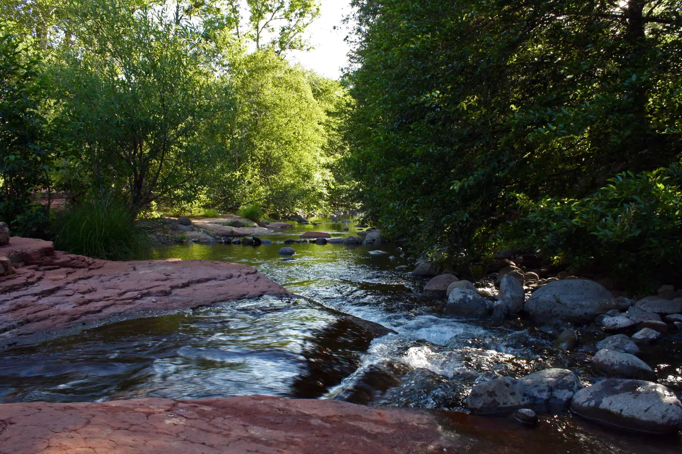
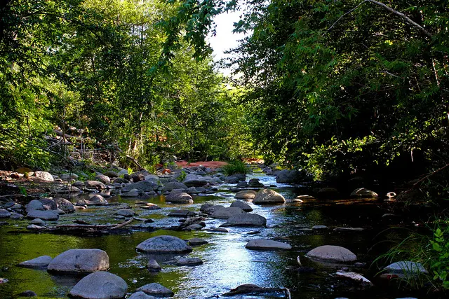
Rimrock, Coconino County, Arizona. Day-use picnic site.
Details

- Where
- 8375 State Route 179, Sedona, Rimrock, AZ 86351. Directions
- When
- Open year-round, dawn to dusk.
- Season
- This area can be quite hot in summer, but the stream flows year-round. Please do not deface or scratch anything into the rocks.
- Getting there
- From Interstate 17, take the AZ 179 exit (Exit #298) and drive 2.5 miles southeast on Forest Road 618 to the picnic area on your left.
- Fees
- Daily $14 (covers up to 5 people); Weekly $25; Annual $50; Walk-in $4. Visitors can use a Coconino Hospitality Annual Pass for entrance or pay the daily rate at the gate. The Red Rock Pass and America the Beautiful Pass are not accepted at this site.
- Access
- Day use only; camping is not permitted at this site. A maximum vehicle length of 24 ft. will be enforced; no RVs, trailers, buses or other oversized vehicles. Potable water is not available at this site. Dogs must always be on a leash, and owners must pick up after their pets.
- Walk-in or reserve
- Visitors can use a Coconino Hospitality Annual Pass for entrance or pay the daily rate at the gate. The Red Rock Pass and America the Beautiful Pass are not accepted at this site.
- Phone
- 928-203-0624
- Website
- fs.usda.gov
- Managed by
- Coconino National Forest, Red Rock Ranger District.
- Coordinates
- 34.66983, -111.71338.
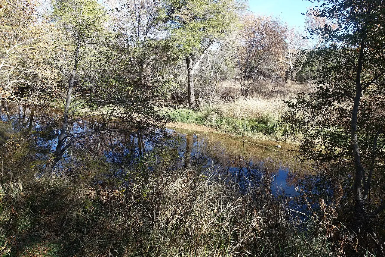
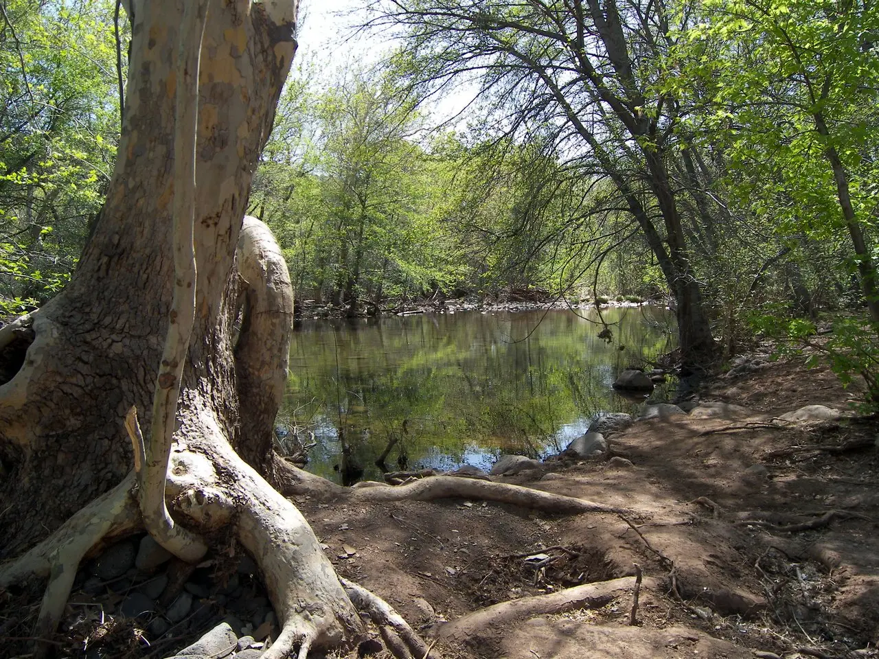
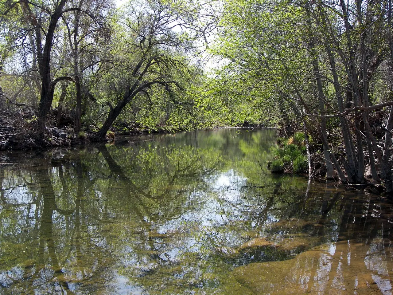
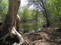
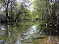
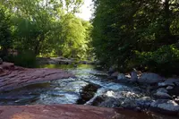
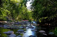
Once listed as a campground, Beaver Creek is now a day-use site popular for picnicking and birding year round, and water play in the summer. The area has limited space and can get over-crowded on hot days and holiday weekends.
Notable Events
- 1932Charles Bell constructed the Bell Trail through the rugged canyon of Wet Beaver Creek; it was, and still is, used to move cattle up and down the Mogollon Rim, and recreationists use it to access the creek. hmdb.org
- 1970An October 1970 flood caused significant erosion of large rock debris which accumulated in the channel, and the Army Corps of Engineers cleared rocks and debris from Beaver Creek after the Presidential Disaster Declaration. yavapaiaz.gov
- 1984Congress designated the Wet Beaver Wilderness area, which now totals 6,178 acres and is managed by the Forest Service. beavercreekhistorical.com
People
- Charles Bell, constructed the trail through the rugged canyon of Wet Beaver Creek (1932).
- Harriet Pruitt, Lake Montezuma resident whose narrative of the creek's flood history the county slides quote (1962–2005).
Sources
- fs.usda.gov/r03/coconino/recreation/beaver-creek-day-use-picnic-site
- beavercreekhistorical.com/about.html
- azgs.arizona.edu/crack-wet-beaver-creek
- fs.usda.gov/r03/coconino/recreation/groups/wet-beaver-wilderness
- yavapaiaz.gov/files/sharedassets/public/v/2/resident-services/flood-control/documents/public-meeting-slides.pdf
- hmdb.org/m.asp?m=187583