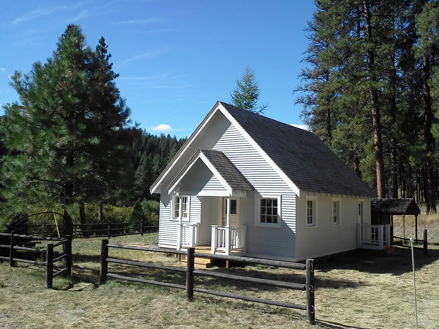
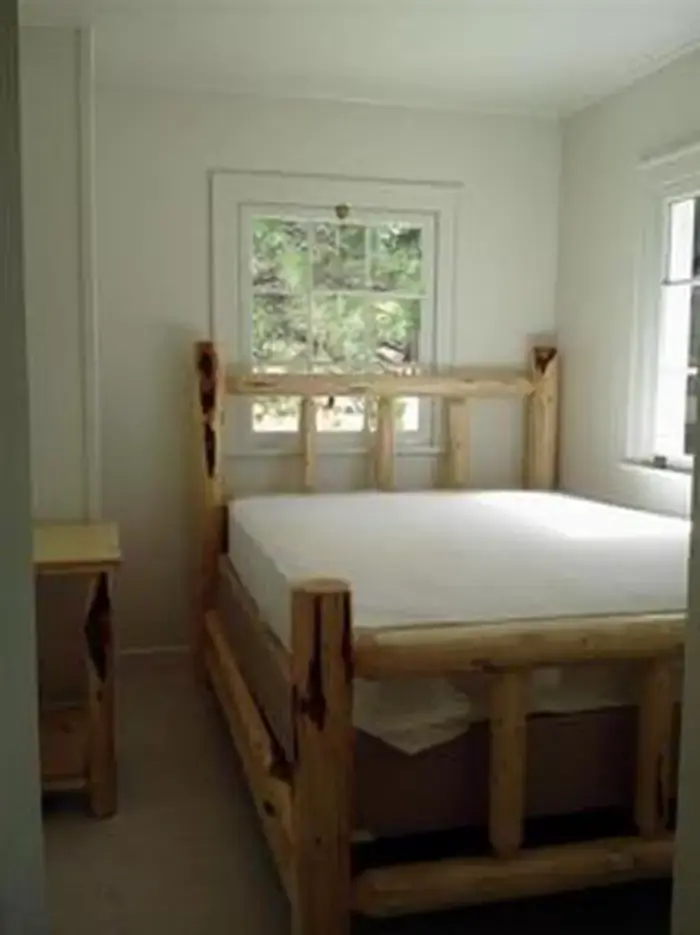

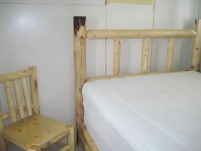
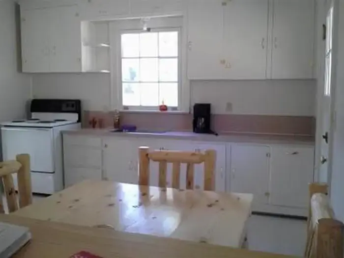
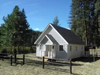
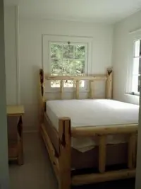


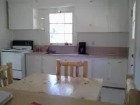
Sunshine Guard Station
John Day, Grant County, Oregon. Forest Service guard station cabin; Open year round.
Details

- Where
- 431 Patterson Bridge Road, John Day, OR 97845. Directions
- Getting there
- From Prairie City, OR., travel east on US Highway 26 approximately 13 miles to the junction of US Highway 7. Turn left on US Highway 7, travel one mile to the junction with County Road 20/ Middle Fork Road. Turn left and follow County Road 20 approximately 13 miles, the guard station will be on the right.
- Fees
- $60 per night (up to 6 people).
- Access
- No water in cabin; guests must bring their own water for drinking, cooking and washing; no pets allowed; bear country; food should be stored properly; combination lock entry; please contact Blue Mountain Ranger District at 541-575-3000 before arrival to check fire restrictions and road conditions.
- Walk-in or reserve
- Online via Recreation.gov; entry by combination lock with code in confirmation letter.
- Phone
- (541) 575-3000
- Website
- recreation.gov
- Managed by
- Malheur National Forest.
- Established
- 1936.
- Coordinates
- 44.665935, -118.7001.
The former guard station was built in 1936 and until the 1990s was used alternatively as a bunkhouse or a work station for fireguards; situated along John Day River in the Malheur National Forest at an elevation of 3,700 feet.
Notable Events
- 1990sUntil the 1990s the guard station was used alternatively as a bunkhouse or a work station for fireguards. recreation.gov