_(malDA0051).jpg)

.jpg)
.jpg)

Succor Creek State Natural Area
near Ontario, Malheur County, Oregon. State Natural Area; Open for camping Apr 1 - Oct 31.
Details
- Where
- near Ontario, Malheur County, OR. No street address stated. Directions
- Getting there
- A rough 15-mile gravel road leads from Oregon 201 to the park.
- Fees
- Free, primitive camping; no water is available.
- Access
- No pay phones or cell phone service; nearest emergency medical services are 33 miles away in Nyssa and the closest hospital is in Ontario, about an hour's drive from the park.
- Walk-in or reserve
- Year-round camping (first-come, first-served).
- Phone
- 1-800-551-6949
- Managed by
- Oregon Parks and Recreation Department in partnership with the U.S. Bureau of Reclamation.
- Established
- Land obtained between 1966 and 1969.
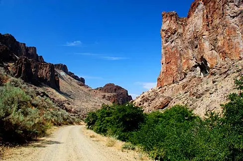
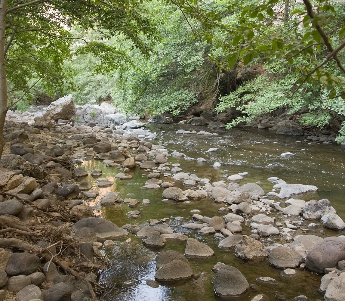
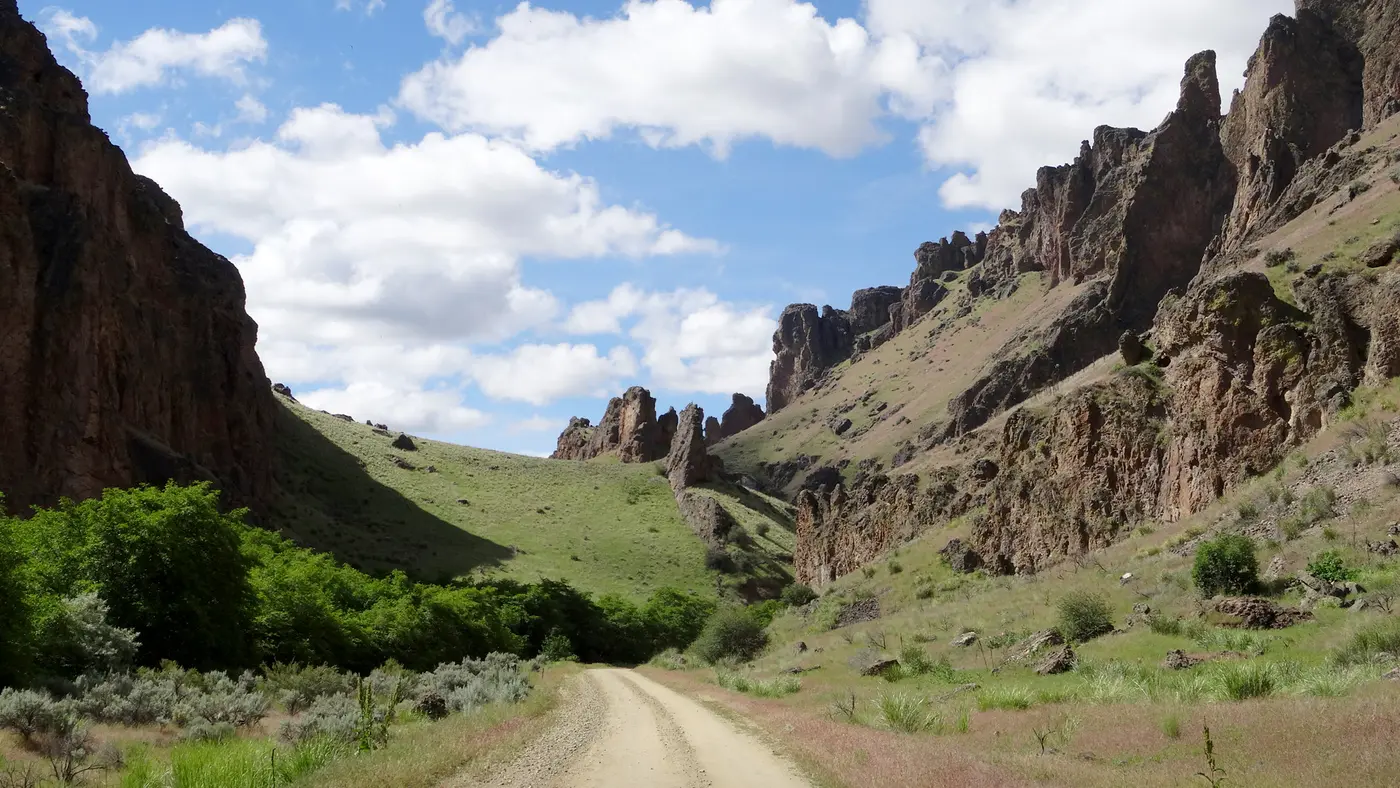
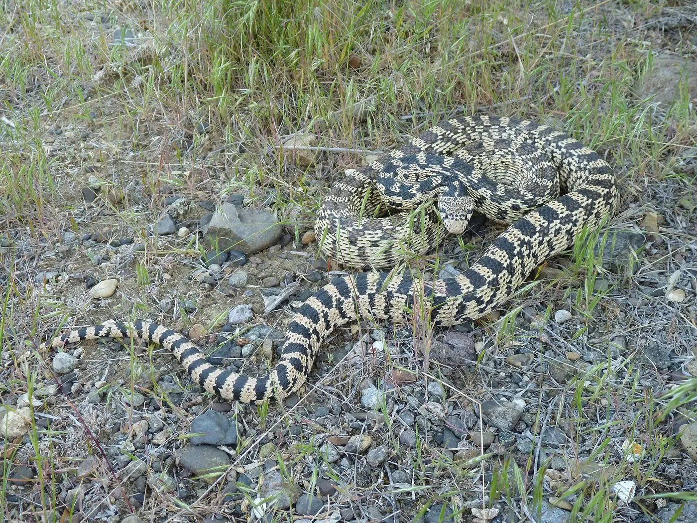
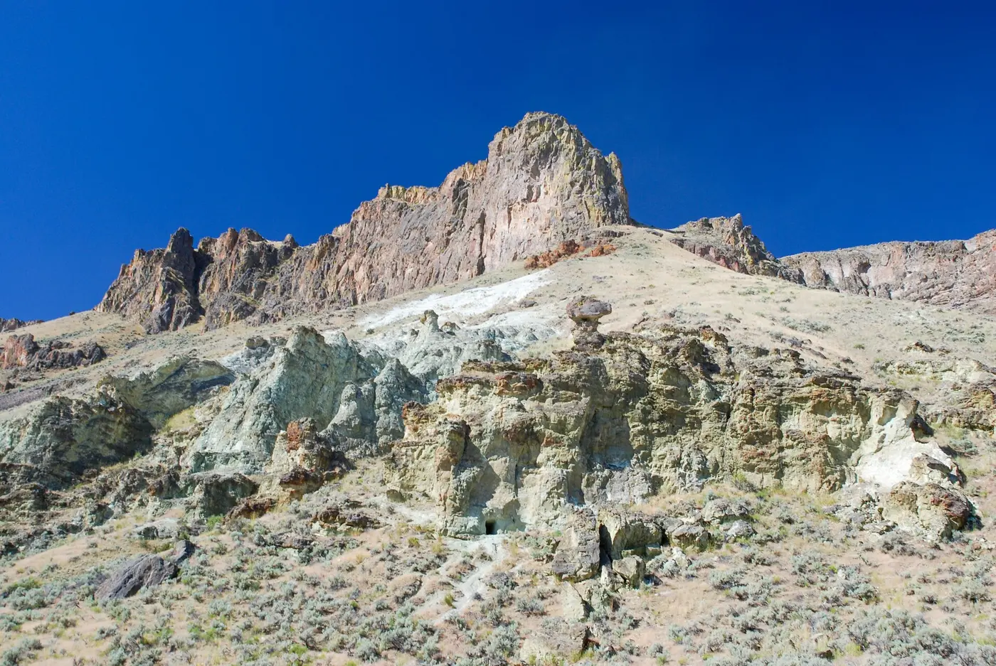
A deep, rocky canyon and remote haven for rock hounds and wildlife watchers with limited souvenir collecting, day-use areas, and free primitive camping.
Notable Events
- 1966The U.S. Board on Geographic Names reversed the earlier official spelling 'Sucker' in favor of 'Succor' on the Oregon Geographic Names Board's recommendation after historical research. pubs.oregon.gov
- 1966The land was obtained through a federal Bureau of Land Management grant and through purchase and litigation with private owners. stateparks.oregon.gov
People
- Phil Brogan, Chairman of the Oregon Geographic Names Board who reported that Succor Creek was the official name.
- Wallace Eubanks, Studied fossil-wood structure and identified woods from part of the Succor Creek area (1960-1961).