
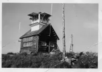


Mt. Baldy-Buckhorn Ridge
Troy, Lincoln County, Montana. Fire lookout; late June through late September.
Details

- Where
- Troy, Lincoln County, MT. No street address stated. Directions
- Getting there
- From Troy Montana, follow Highway 2 West for 9.5 miles to Yaak Highway 508. Follow Yaak Highway 508 for 18 miles north to Meadow Creek Road 524. Follow Road 524 1 mile to junction with Road 745. Take road 745 approximately 4 miles to Baldy Mountain Lookout Road 591. Follow 591 for approximately 2 miles to Road 5954. Take Road 5954 to the lookout.
- Fees
- $55.00 per night.
- Access
- Guests must provide their own water for drinking, cooking and washing.
- Phone
- 406-295-4693
- Managed by
- Kootenai National Forest.
- Established
- 1957.
- Coordinates
- 48.83447222, -115.9256389.
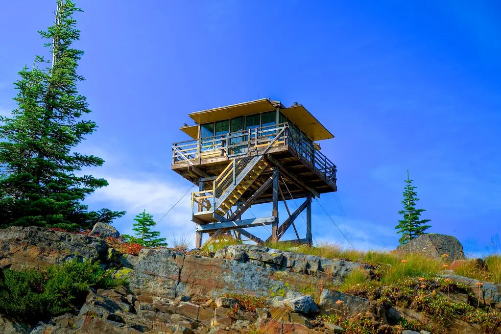
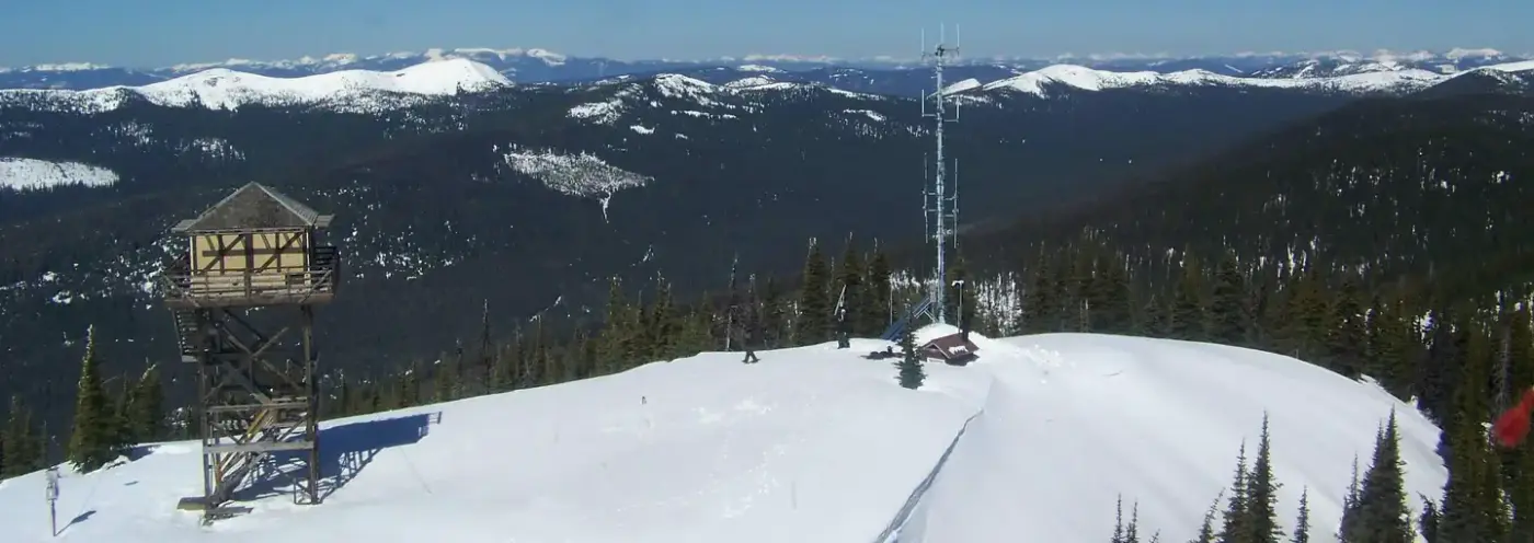
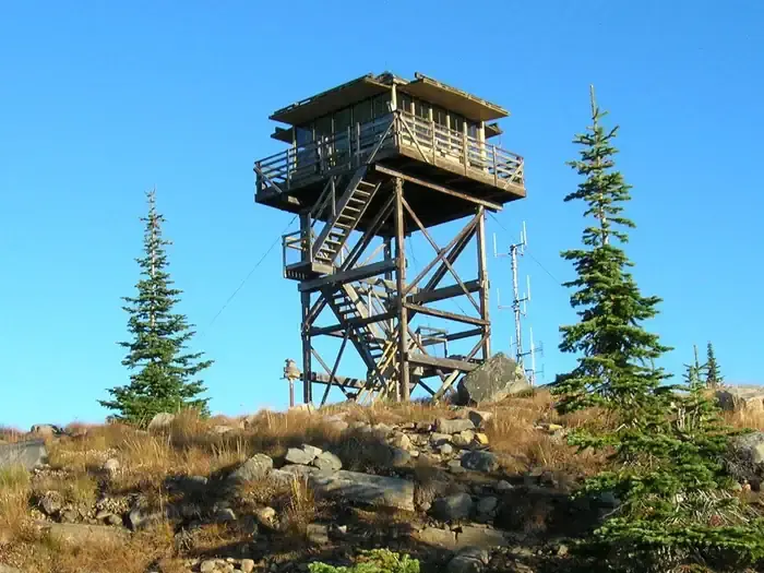
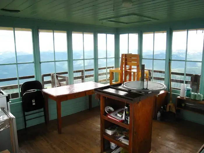
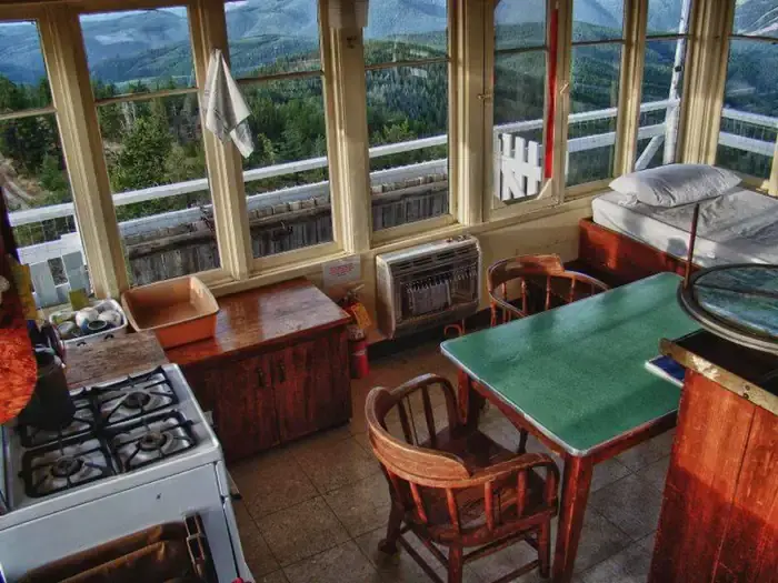
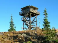
The Mount Baldy - Buckhorn Ridge Lookout sits at an elevation of 6,529 feet in the Kootenai National Forest. This location has been used as an observation point for detecting forest fires since 1910. The current lookout tower was built in 1957.
Notable Events
- 1910The location began serving as an observation point for detecting forest fires. fs.usda.gov
- 1914A permanent lookout was stationed in a tent, a 45-foot pole tower with a platform was erected, and a telephone line was strung to Sylvanite Ranger Station. visitmt.com
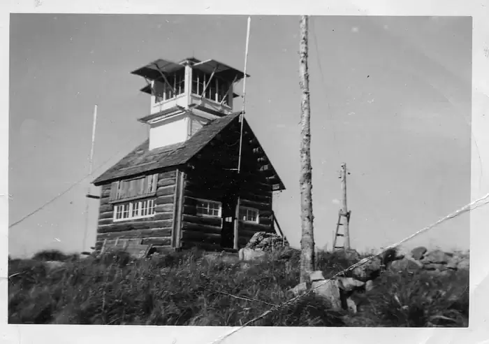
- 1927A log cabin was built. visitmt.com
- 1932A cupola was added to the 1927 log cabin. visitmt.com
- 1957The current lookout tower was built. fs.usda.gov