McCart Lookout
Sula, Ravalli County, Montana. Historic L-4 lookout structure; Mid-May to September.
Details

- Where
- Sula, Ravalli County, MT. No street address stated. Directions
- When
- Check in 2:00 p.m.; check out 12:00 p.m.
- Getting there
- From Sula, travel 0.2 miles northwest on Highway 93, turn right (northeast) onto East Fork Road (County Road 472), continue about 15 miles, turn right (south) onto Forest Service Road 435 (Johnson Peak Trail) for 5.5 miles to the trailhead, then hike 1.5 miles to the lookout.
- Fees
- Overnight Use: $30 per night.
- Access
- Potable water is not available at this site.
- Walk-in or reserve
- Recreation.gov reservations; contact the Darby/Sula Ranger Station at (406) 821-3913 one week before arrival for the current lock combination.
- Phone
- (406) 821-3913
- Website
- fs.usda.gov
- Managed by
- Bitterroot National Forest, Sula Ranger District.
- Coordinates
- 45.88500001, -113.7169444.
The cab on McCart Peak
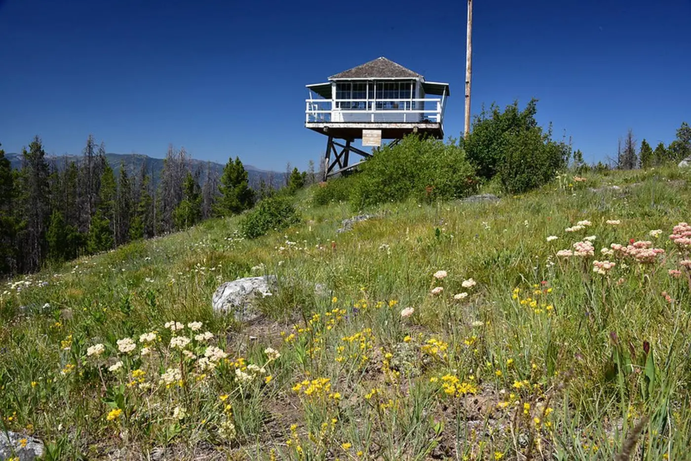
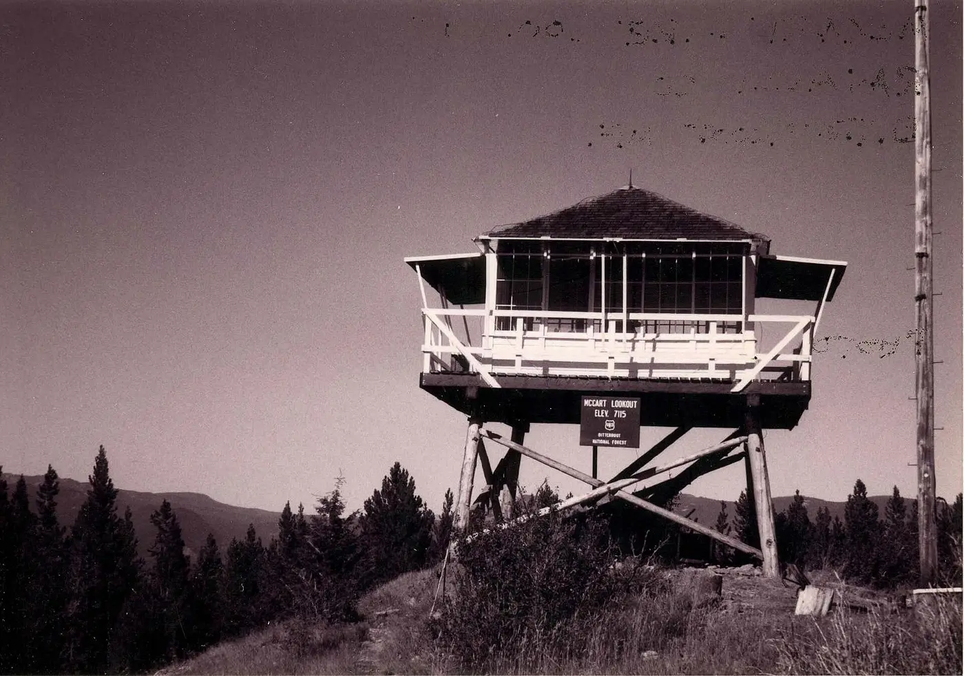
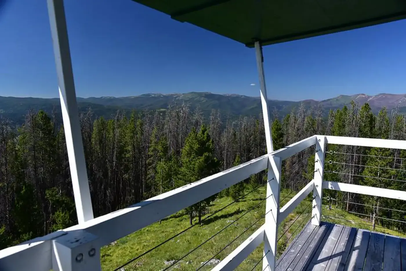
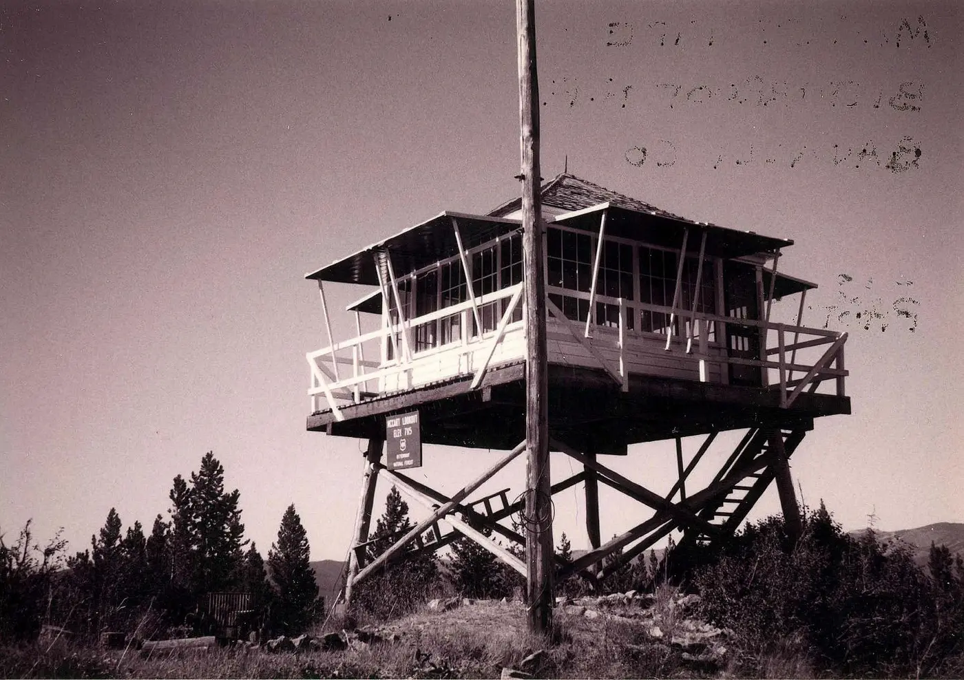
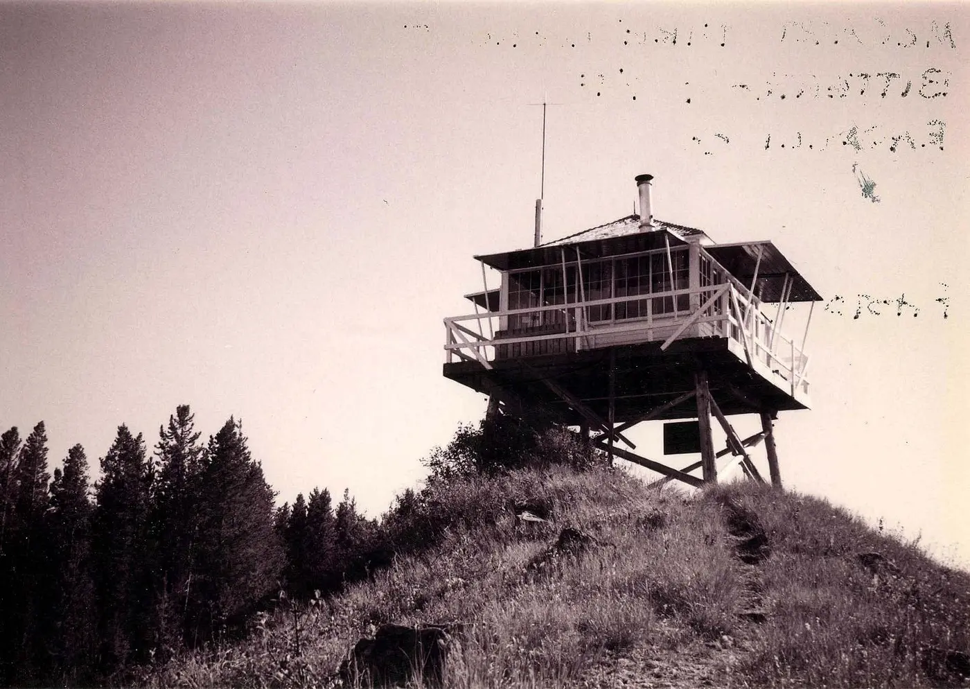
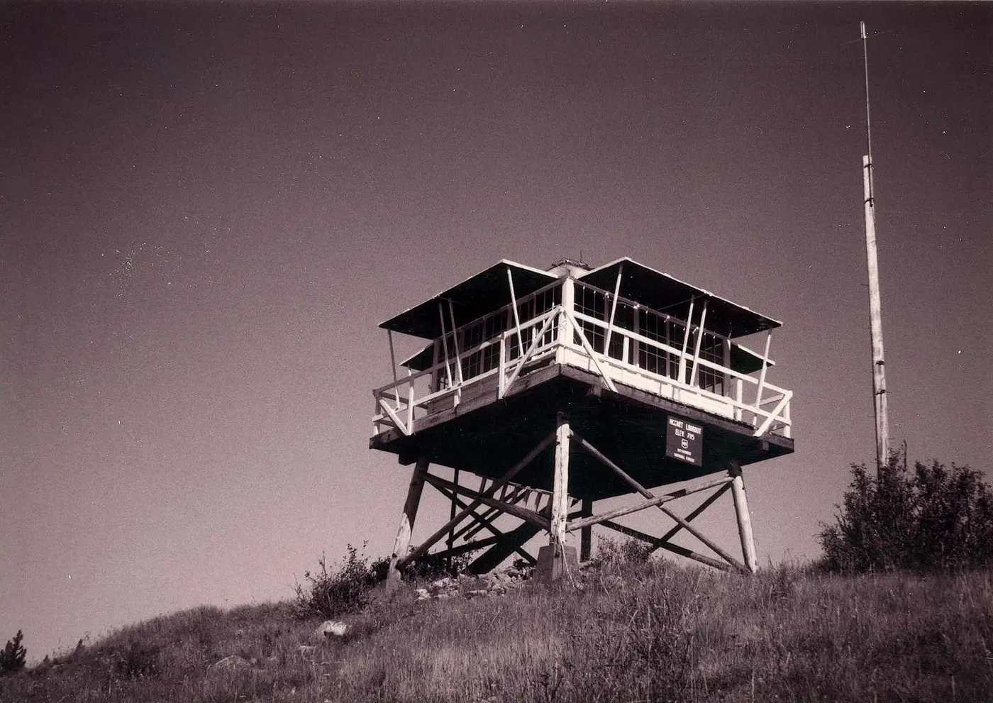
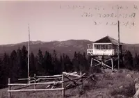
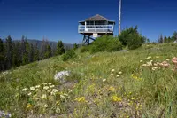
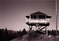
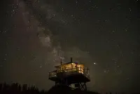
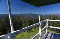
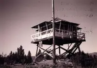
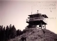
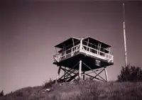
The lookout stands on the summit of McCart Peak, 7,115 feet up, on the boundary of the Anaconda-Pintler Wilderness in Ravalli County. It is a single room, 14 feet square, set on a tower about 10 feet tall and reached by narrow steps. A catwalk with a board railing runs around the cab. Sources give its width as two feet (Historic Montana), 30 inches (the Forest Service), and 3 feet (the 1995 National Register nomination). The roof is a pyramid of cedar shakes. Nine-paned sliding windows fill the walls: five on each of three sides, and four beside the door on the east wall. Shutters of painted planks are hinged to the outside and are raised on stilts to open the view.
The Forest Service puts the Pintler Mountains to the east and the Bitterroot Mountains to the west. The nomination gives a fuller compass: the Pintler range south and east, the Sapphire range north, the Bitterroots west and northwest. The forest below holds mule deer, whitetail deer, elk, bighorn sheep, mountain goats, black bear, mountain lions, and moose. A lightning rod set into the structure takes most of the danger out of summer storms.
The Bitterroot National Forest rents the lookout from mid-May through September. Visitors leave a car at the Johnson Peak trailhead, about 15 miles up the East Fork Road from Sula and then several miles south on a forest road, and walk the last 1.5 miles on Trail #435. Horses and other stock are allowed on the trail, and any hay must be certified weed free. Past the lookout the trail keeps south along the ridge to the Continental Divide National Scenic Trail. Recreation.gov warns that the Johnson Fire has raised the risk of falling burned trees and of debris flows on the burned stretches, especially in high wind and heavy rain.
Stove, saw, and lantern
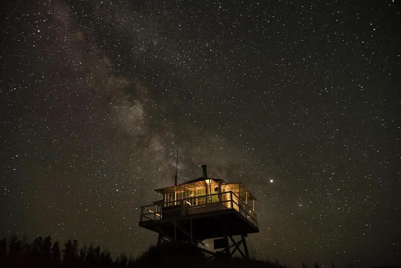
The cab has been furnished to look as it did in the 1940s, with replica furniture, period cookware, dishes, and a wood stove. The working instruments of the job are there too: an Osburne fire finder, used to fix the location of a fire, and a hand-cranked telephone. A bed platform sleeps two, and two more can sleep on the floor. Others may pitch tents nearby.
Guests cut their own firewood from dead and down timber with the bow saw and ax that are kept at the lookout. A two-burner propane camp stove and a Coleman lantern are supplied, but the propane is not, and neither is water. Everything for drinking, cooking, and washing has to be carried up the trail. A wooden one-seat outhouse stands southeast of the cab. Inside the cab, a lookout journal gives instructions for an emergency or a storm.
Readicut lumber and mules
The Forest Service built McCart as one of many answers to the same problem. The first Use Book of 1905 told its officers they had “no duty more important than protecting the reserves from forest fires.” After the great fire of 1910 burned across Montana and Idaho, the agency set out to cover the backcountry with trails, telephone lines, and lookout points. In 1915, Region 1 still had only 127 lookout points, and only 12 of them had cabins. Most lookout men lived in tents beside their posts.
In 1929 Clyde Fickes, a Forest Service engineer, designed the L-4. It was a standard house of precut “readicut” lumber from Forest Service warehouses in Spokane and Columbia Falls, and it was meant to serve as both workplace and living quarters. In Fickes’s own words, it could be put up by “a couple of handymen who could read,... with a hammer, screwdriver, and level.”
McCart’s cab was prefabricated in Spokane and packed up the mountain by mules in 1939. Timber cut on the peak became the tower legs. In those years the original route, Trail #35, ran about 5 miles south along the ridge from the East Fork Ranger Station, as the 1933 Forest map shows. The lookout took its name from Bill McCart, according to Historic Montana and the nomination a long-time employee of the East Fork District, which is now the Sula District. Recreation.gov gives a different account: William McCart settled the area but never completed his homestead entry to patent.
There was no radio on the peak, so a telephone line connected the lookout to the East Fork Guard Station. Segments of that line and its insulators can still be seen in the trees between the two.
Spared, then rebuilt
By 1960, most fire detection in the forest was done by aircraft. McCart still served as a communication link and was staffed every season through 1984, 45 years in all. In the 1960s and 1970s the Forest Service burned many fire lookouts it judged “attractive nuisances.” McCart was one of the few left standing.
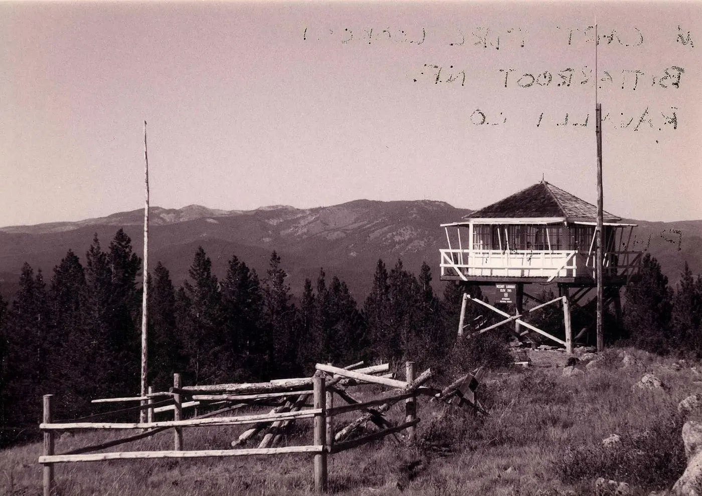
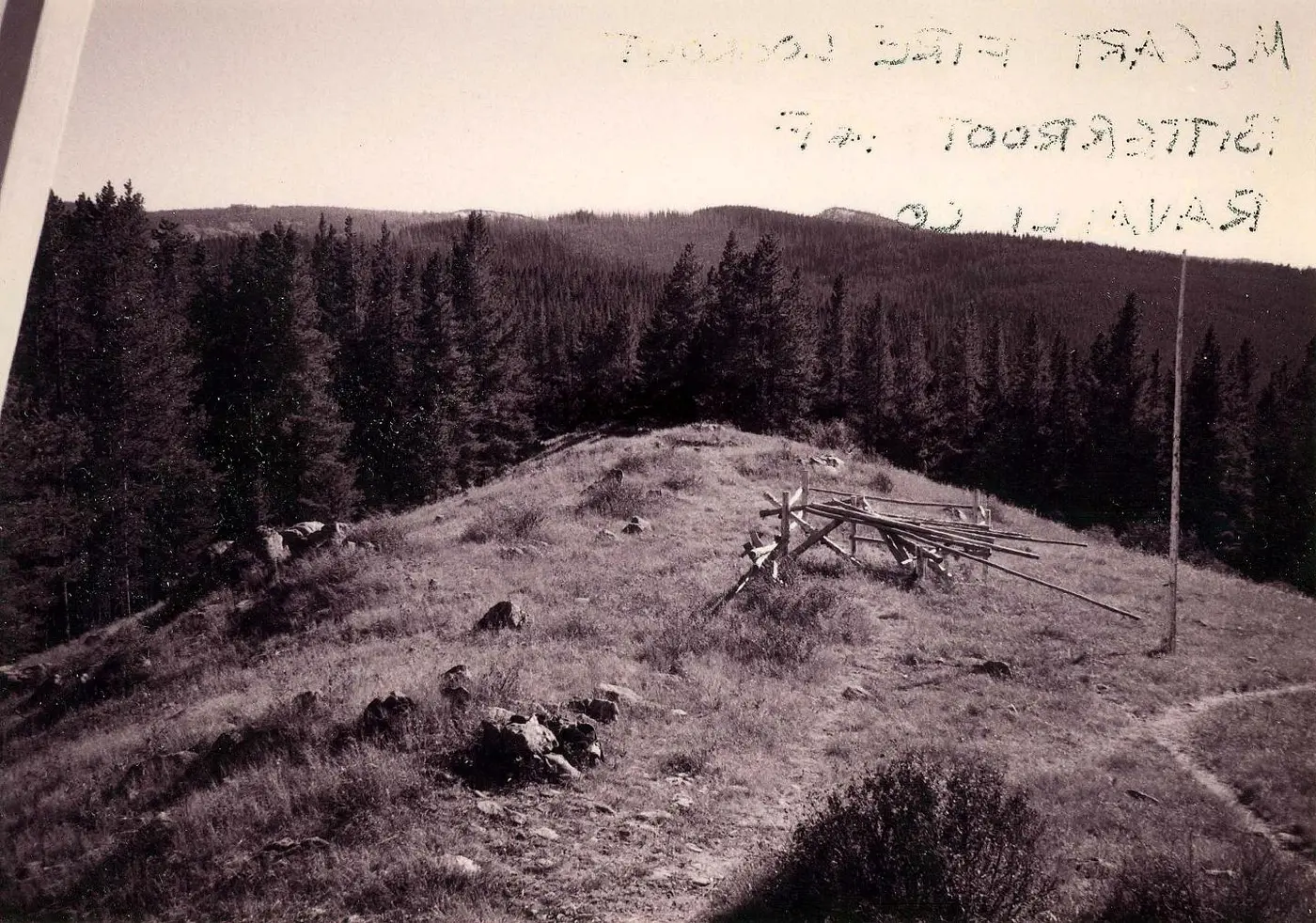
Restoration ran from 1991 through 1993. The first phase replaced two tower legs, the pole bracing, the center support beam, and the catwalk decking and railing. The second phase replaced the northeast and southeast legs, hung new shutters on new stilts, re-roofed the cab in cedar shakes, and painted it inside and out. The last phase brought in the replica furniture, the fire finder, and the telephone. Over the previous half century, roads and clearcuts had erased most of old Trail #35, so a new 1.5-mile trail and trailhead were built during the 1990s. The outhouse went up in 1994. In 1995 a 12-by-12-foot pole corral was built on the spot where the weather station once stood. The flagpole south of the cab, a single peeled and painted post, is not the original.
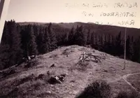
Vicki Varnum of the Bitterroot National Forest prepared the National Register nomination, and the lookout was listed in 1996. She photographed the site on September 14, 1995. One of her frames, taken from the catwalk looking south, has the new corral in the foreground.
Notable Events
- 1939The prefabricated wood-frame house was packed in by mules, and native timber was cut on site to support it. historicmt.org
- 1939The 1931-pattern L-4 cab on a pole tower was built. mhs.mt.gov
- 1960By 1960, most fire detection was accomplished by aerial surveillance. historicmt.org
- 1960sMany fire lookouts were considered an attractive nuisance and burned by the Forest Service; McCart was one of the few spared. npgallery.nps.gov
- 1984McCart remained in service until 1984. historicmt.org
- 19841984 was the last year McCart was staffed after serving as an important fire observatory from 1939 through 1984. npgallery.nps.gov
- 1990sThe lookout was carefully restored. historicmt.org
- 1991Structural stabilization and rehabilitation preserved the lookout's historical value and character. npgallery.nps.gov
- 1994A one-seater outhouse southeast of the lookout was constructed; the nomination classifies it as non-contributing. npgallery.nps.gov
- 1995A small pole corral was erected where the weather station once stood; it is non-contributing. npgallery.nps.gov
- 1996McCart Lookout was listed in the National Register of Historic Places as NR #96000660. mhs.mt.gov
People
- Bill McCart, Longtime district employee and namesake of McCart Lookout.
- Clyde Fickes, Forest Service engineer who developed the L-4 series (1929).