McCain Cabin
Alpine (nearest groceries, gas, restaurant; 23 miles), Lincoln County, Wyoming. Forest Service guard station cabin rental; Year-round.
Details

- Where
- Alpine (nearest groceries, gas, restaurant; 23 miles), Lincoln County, WY. No street address stated. Directions
- When
- Check in time is 2 pm, Check out time is 11 am.
- Getting there
- From Afton, Wyoming, take Highway 89 north about 31 miles to Alpine. At Alpine, turn right (south) onto Greys River Road (Forest Road 10138) and travel about 8 miles to the junction with Little Greys River Road (Forest Road 10124). Turn left (northeast) onto Little Greys River Road and drive about 11 miles to Forest Road 10047. Turn left at that junction and continue another 2 miles.
- Fees
- Summer- Peak Season: (May 1-Sept 30) 2025: $50/Night, 2026: $60/night, 2027-Future: $70/night; Winter- (October 1- April 30) 2025-2026: $50/night, 2026-2027: $50/night, 2027-Future: $60/night.
- Access
- Winter access is by snowmobile only on a groomed trail.
- Walk-in or reserve
- Reserved through recreation.gov; cabin code e-mailed 4-7 days before arrival.
- Phone
- 307-886-5300
- Managed by
- Bridger-Teton National Forest.
- Established
- 1933.
- Coordinates
- 43.119945, -110.716655.
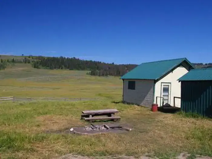
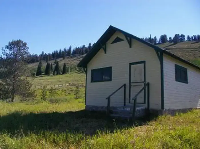
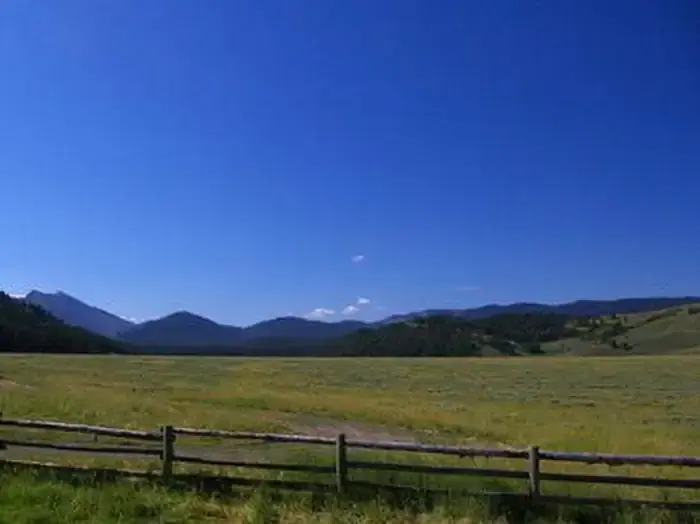
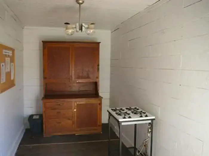
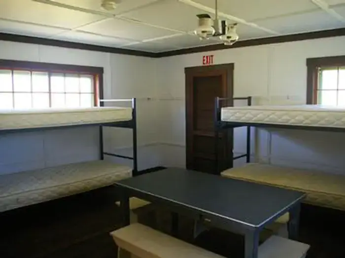
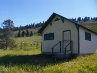
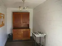
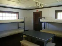
The McCain Guard Station stands at 6,900 feet in a mountain valley, near a creek that flows into the Little Greys River. Pines line the hillsides, but none grow close enough to shade the cabin. The building has two rooms and no electricity. Light comes from propane fixtures. Cooking is on a propane cook top, and heat comes from a propane heater and a woodstove, with firewood stacked for winter. That wood is for use at this cabin only. The kitchen has a table and chairs. The bunks have mattresses, but renters bring their own dishes, pots, and bedding.
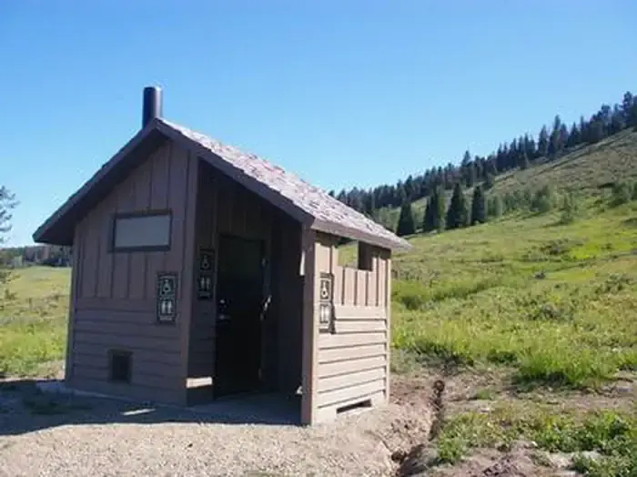
The sources disagree on how many it sleeps. Recreation.gov says the cabin fits six overnight guests and that no others may camp outside. The Bridger-Teton National Forest’s own page gives a capacity of eight people on four bunk beds. A vault toilet, a picnic table, and a fire ring stand behind the cabin. There is no water and no cell phone coverage. Bears frequent the area, and food is kept out of sight in approved containers or locked in a vehicle.
Up the Little Greys River Road
The cabin is 23 miles from Alpine, which has the nearest grocery store, gas station, and restaurant. Recreation.gov says the drive takes over an hour on gravel mountain roads. From Alpine, Greys River Road (Forest Road 10138) runs about 8 miles to its junction with Little Greys River Road (Forest Road 10124). The two sources describe the last miles differently. Recreation.gov gives about 11 miles up the Little Greys to Forest Road 10047, then 2 more miles to a fork, where the left branch leads to the cabin “in plain view.” The Forest Service gives 12.7 miles to a left turn onto FS-10275. Spring and fall access depends on weather and road conditions. In winter the only way in is by snowmobile on a groomed trail.
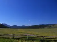
Hikers and horseback riders use the cabin in summer, and snowmobilers use it through the winter. Open meadows near the cabin give younger riders gentle ground for sledding, and in summer they fill with wildflowers. Deer, moose, elk, eagles, and sandhill cranes are among the wildlife likely to be seen. Several creeks and the Little Greys River wind through the area and are fished. Big Springs Trail is walked in summer and ridden on snowmobile in winter. The 9-mile Bailey Creek Trail follows part of the designated Wild and Scenic Snake River Headwaters. Motorbikes are allowed on the nearby Telephone Pass trail from July 1 to September 10.
A supervisor’s name and a dry well
Recreation.gov states that the Civilian Conservation Corps built the cabin in 1933. A Forest Service survey published in March 2003, Lookouts, Latrines, and Lodgepole Cabins, by architectural historian Jim Bailey, gives the founding year as 1932. That report describes the Depression years on the national forests. Relief funds and labor led Forest Service architects to draw standard designs for new administrative sites, and the Civilian Conservation Corps, the Works Progress Administration, and local employment programs did most of the building. Guard stations of the kind built here were historically occupied during the summer by Forest Guards and rangers.
The station takes its name from Arthur C. McCain (1873–1956), a former supervisor of the Teton National Forest. Bailey’s survey evaluated the site for the National Register and recommended it not eligible, and it rated the bunkhouse non-contributing. The report also records the station’s one move. The well at the original McCain Guard Station site, a half-mile southeast, went dry. In 1978 and 1979 the Forest Service moved the bunkhouse near a spring that runs all year.
Notable Events
- 1978Because the well dried up at the original McCain Guard Station site, located a half-mile southeast, the Forest Service in 1978 and 1979 moved the bunkhouse near a year-round active spring. npshistory.com
People
- Arthur C. McCain, former Teton National Forest supervisor; the guard station's namesake (1873-1956).