May Creek Cabin
Wisdom, Beaverhead County, Montana. Cabin.
Details

- Where
- Wisdom, Beaverhead County, MT. No street address stated. Directions
- When
- Open 24 hours/day.
- Season
- Open seasonally, not available April 15 to May 20.
- Getting there
- From Wisdom, travel west on Highway 43 for about 16 miles to the May Creek Campground. Guests can park in the plowed parking area near the highway at the entrance to the campground during the winter. During the summer months, follow the campground road to the fence at the south end of the campground.
- Fees
- Overnight Use: $45 per night.
- Access
- There is no water or electricity at this cabin.
- Walk-in or reserve
- The cabin remains locked. The padlock number code will be provided to you when you confirm your reservation.
- Phone
- 406-689-3243
- Managed by
- Beaverhead-Deerlodge National Forest.
- Established
- early 1900s.
- Coordinates
- 45.63605, -113.83735.
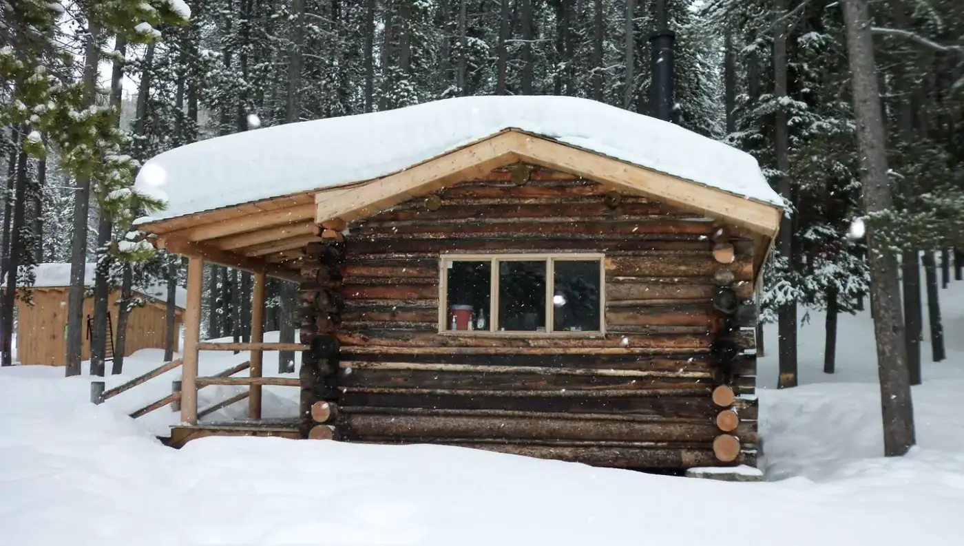
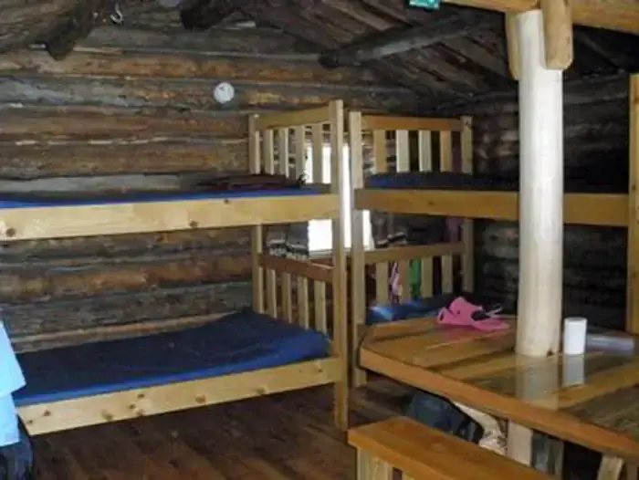
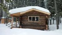
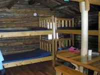
At the edge of a large meadow on the east side of May Creek, set back in the trees, stands a wood-frame cabin of one room. Inside are bunk beds with foam mattresses for four, a table with benches, a propane stove, and a flat-topped wood stove that heats the room and will also cook a meal. The Forest Service leaves an axe, a shovel, a bucket, cleaning gear, and pots, plates, and utensils. A propane lantern should be on hand, the reservation page says, but no fuel for it. There is no electricity and no running water. An outhouse with a vault toilet stands nearby, and the door is kept padlocked, its combination sent with a confirmed reservation.
Guests carry in what the room lacks: bedding, food, towels, toilet paper, flashlights, drinking water, and 16-ounce propane canisters for the stove and lantern. Water from the creek must be treated or boiled. Garbage and leftover food go back out the way they came. Firewood is supplied for the cold months, though Recreation.gov gives two windows for it, September 16 through June 15 in one paragraph and October 1 through June 15 in another. A photograph by David Lingle on the National Recreation Trail record shows the woodshed stocked, and its caption calls the cabin a popular place to visit in winter. The Forest Service warns of hantavirus carried by mice, and of rodent poison set in the cabin that is hazardous to children and pets.
The trail from campsite 14
The way in begins on Highway 43, about 16 miles west of Wisdom, at May Creek Campground. In winter the Montana Department of Transportation plows a small parking area at the campground entrance, and guests ski or snowshoe from there. In summer they drive the campground road to the fence at its south end. The May Creek Trail starts at the gate near campsite 14, follows blue diamond markers, and crosses the creek on a small bridge. A quarter mile on, the May Creek Ridge Trail branches away. The May Creek Trail keeps south for about two miles, and large blue diamond stakes lead the last stretch across the meadow to the cabin. Neither page agrees with the other on the cabin’s height: the Forest Service gives 6,300 feet, Recreation.gov about 6,600.
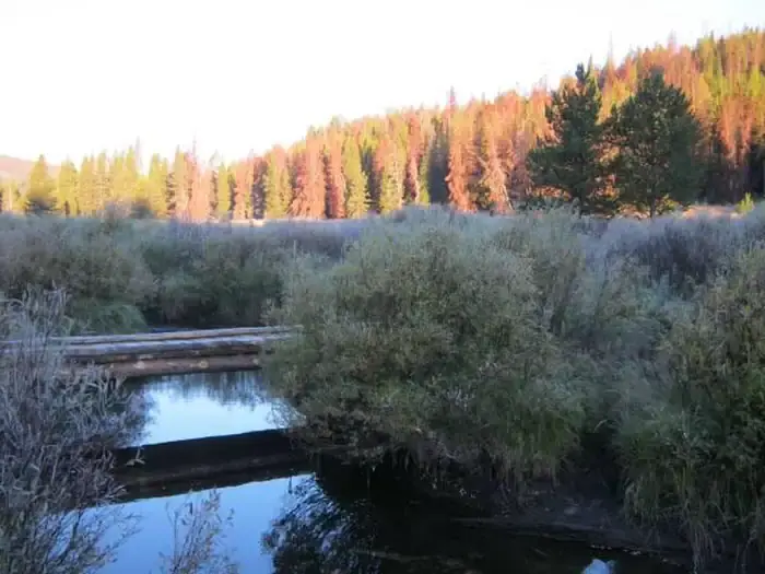
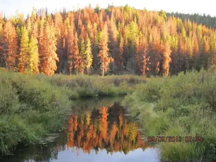
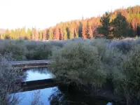
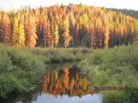
Lingle’s photographs follow the route in sequence. The lower trail passes through small groves of pine between open meadows and a creek bottom lined with willows. Sego lilies grow at the meadow’s edge, with the cabin in the woods beyond. The trail was certified a National Recreation Trail on December 15, 1980. Two and a half miles past the cabin it leaves the gentle creek bottom, climbs a wooded ridge, and meets the Anderson Mountain Road and the Continental Divide Trail.
Elk calves, trout, and closed months
Recreation.gov places the cabin at the base of the Anaconda Range; the trail record puts it at the northern end of the West Big Hole Mountains. Either way, the country holds mountain lions, elk, deer, moose, and bears, and the meadows are elk calving ground. For that reason the cabin is closed from April 15 to May 20. Brook and rainbow trout hold in May Creek, which runs beside the cabin and can be waded. Winter visitors are warned of avalanche danger on the surrounding slopes. There is no cell phone service at the cabin or anywhere near it.
Miners, or smoke chasers
The records give two beginnings. Recreation.gov and the Lewis and Clark Trail Alliance say miners built the cabin in the early 1900s and used it for about 30 years, and that hunters occupied it for about 30 years after them. It then stood empty for nearly 30 years until it was restored for public use in 1993. More work was done in 2011 to improve the quality and safety of the structure. The Forest Service’s own page for the cabin tells a different story. It says the cabin went up in the 1920s as field quarters for trail crews, smoke chasers, timber cruisers, and grazing inspectors. Neither page mentions the other’s account.
Camas, fire, and the Big Hole road
The cabin sits on the Lewis and Clark National Historic Trail, with the Nez Perce Trail and the Continental Divide National Historic Trail close by. At the turnoff to May Creek Campground Road, a Forest Service marker quotes William Clark on July 8, 1806: “on each side of those glades the timber is small and great proportions of it killed by the fires.” Scars in tree rings, the marker says, show that small fires burned through Trail Creek every 30 to 40 years. Fires set by Indians probably kept the forest open, easing travel for large parties of hundreds of people and their horses. Pollen in bog sediment shows that the plant communities of Trail Creek, dominated by lodgepole pine, have not changed in 4,000 years. The marker includes a cross-section of one lodgepole: a seedling in 1868, burned on one side in 1885, cut in 2000 after some 132 years. Fire has been suppressed since the early 1900s, and since 2000 high-intensity wildfires have burned thousands of acres in and around Trail Creek.
A second marker, about 1.6 miles away where the Bitterroot-Big Hole Road meets the highway, picks up Clark two days earlier. On July 6, 1806, his party found camas just coming into bloom. Sacagawea, spelled Sacajawea on the panel, had gathered camas here as a child and told Clark that a gap in the mountains lay ahead. Topping a rise, he wrote, they “beheld an open boutifull Leavel Valley or plain of about 20 Miles wide and near 60 long.”
The same marker turns to August 6, 1877, when an estimated 800 Nez Perce passed this way in flight. Young men wanted to scout back along the trail. Chief Looking Glass refused, holding to a peace agreement with the Bitterroot settlers. The warrior Five Wounds answered him: “Whatever the gains, whatever the loss, it is yours.” At dawn on August 9 the 7th U.S. Infantry and the Bitterroot Volunteers attacked the Nez Perce camp beside the river. That ground is now Big Hole National Battlefield, about nine miles east of the cabin. On its last panel the marker lists May Creek among the traditional Indian sites where travelers now camp or picnic, and in the next line it suggests a night in a Forest Service cabin.
Notable Events
- 1900sIt was built by miners in the early 1900s and used by them for about 30 years. recreation.gov
- 1920sThe cabin was built in the 1920s to provide field quarters for trail crews, smoke chasers, timber cruisers, and grazing inspectors. fs.usda.gov
- 1980The trail record says the May Creek Trail begins in May Creek Campground at the gate near campsite 14 and is 2 miles to the cabin, the route most used to reach it in summer and winter. nrtapplication.org
- 1993The cabin went unused for nearly 30 years and was restored for public use in 1993. recreation.gov
- 2011In 2011, more work was completed to enhance the quality and safety of the structure. recreation.gov