Lake Como Beach Swimming Site
Darby, Ravalli County, Montana. Designated swimming area; Open yearlong until closed by snow.
Details

- Where
- Darby, Ravalli County, MT. No street address stated. Directions
- When
- 6:00am to 10:00pm.
- Getting there
- From Darby, Montana travel north for 4 miles on Highway 93. Turn west (left) onto Lake Como Rd. Follow for 3 miles. Turn north (right) and follow signs to swim area.
- Fees
- Day Use: $5 per vehicle per day, $30 per season.
- Access
- No dogs or glass on the beach or in the swim area; pets must be leashed. Day use only, no overnight camping. Food storage required.
- Phone
- 406-821-3913
- Managed by
- Bitterroot National Forest.
- Coordinates
- 46.06777778, -114.2397222.
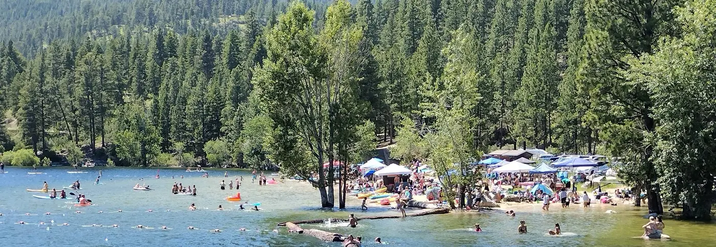
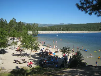
A swimming area on Lake Como between Darby and Hamilton, Montana, with a sandy beach, picnic tables, accessible restrooms, dressing facilities, paved parking, water, and garbage service.
Notable Events
- 1923Bond proceeds paid for reconstruction of the project works, including a modern spillway at Como Dam. bitterrootirrigationdistrict.com
- 1954Como Dam was rehabilitated on its crest and upstream face by the Bureau of Reclamation. web.archive.org
- 1976The district built concrete protection walls on each side of the spillway section up to the elevation of the dam crest. web.archive.org
- 1992Major modifications mitigated seepage and piping, liquidfication during a large seismic event, and overtopping during large floods; the raised spillway crest increased active reservoir capacity from 35,100 acre-feet to 38,500 acre-feet. web.archive.org
People
- Father Anthony Ravalli, Named Lake Como for the famous lake in his native Italy.