Horse Prairie Cabin
Dillon, Beaverhead County, Montana. Forest Service administrative cabin; Year-round availability.
Details

- Where
- Dillon, Beaverhead County, MT. No street address stated. Directions
- When
- Year-round availability.
- Getting there
- Drive 12 miles to Grant, then 7 miles west of Grant at Red Butte turn right (north) onto Bloody Dick Road #181 toward Reservoir Lake; follow it about 6 miles to the Horse Prairie Guard Station turnoff sign, then the Coyote Creek road northwest 1-3/4 miles to the cabin.
- Fees
- $20 per night, non-refundable.
- Access
- Water is only available during summer months. There is no electricity.
- Walk-in or reserve
- Reservation available on Recreation.gov.
- Phone
- 406-683-3900
- Website
- fs.usda.gov
- Managed by
- Dillon Ranger District.
- Coordinates
- 45.02667, -113.32274.
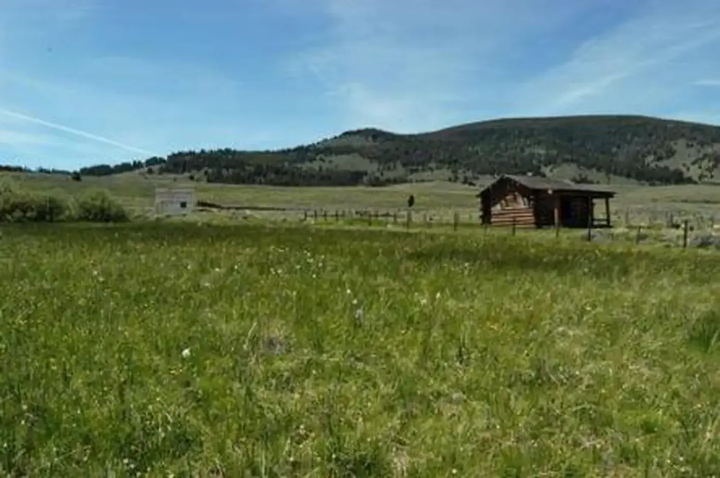
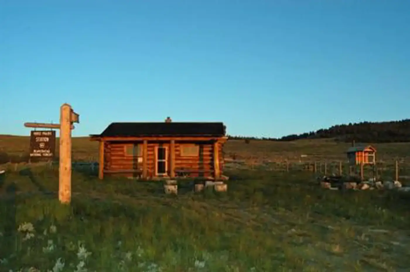
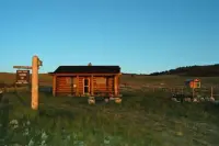
The cabin stands on a hillside in sunny, open prairie at the southern edge of the Beaverhead Mountains, a range that straddles the Continental Divide between Montana and Idaho. From it the view runs out over the grassy meadows of Horse Prairie. It is built of logs and divided into two rooms. The Dillon Ranger District of the Beaverhead-Deerlodge National Forest keeps it locked, and renters receive the combination in their confirmation letter.
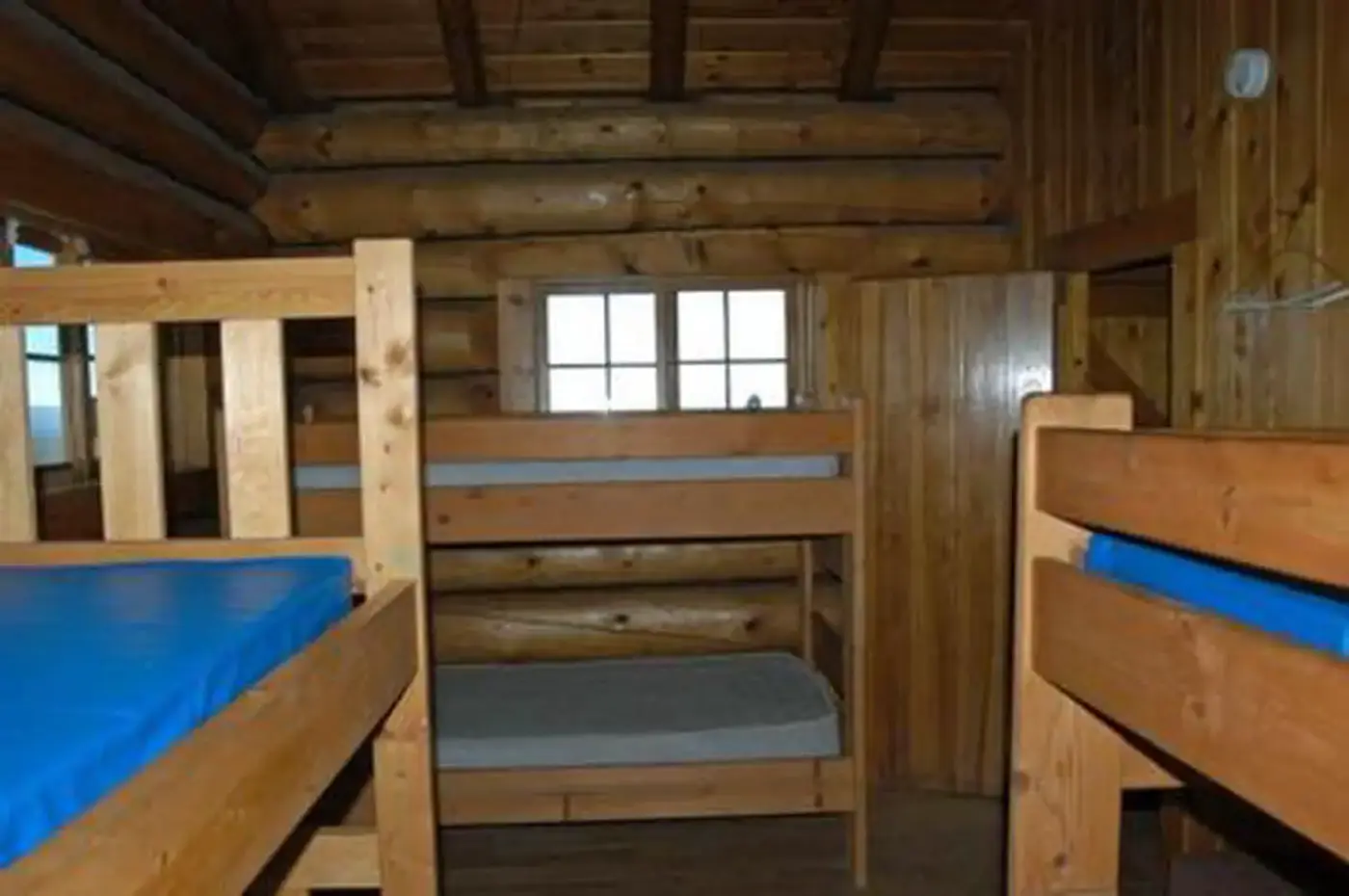
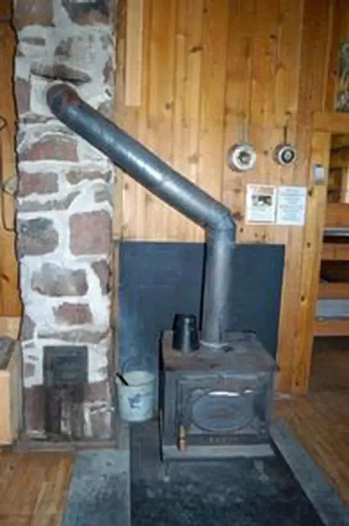
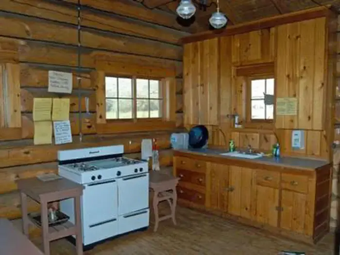
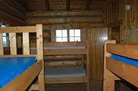
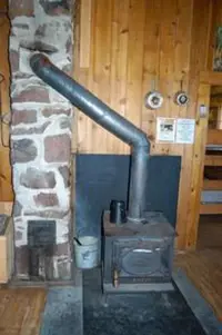
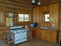
Inside are bunk beds and mattresses for four, a table and chairs, and a kitchen with cupboards, counter space, cookware, utensils, dishes and tableware. Recreation.gov lists propane for the stove, oven and overhead lighting. The Forest Service page says the cabin has solar lighting. A wood-burning stove gives the heat. Firewood is provided but not guaranteed, and the axe that comes with it is not to be swung inside the cabin or on the porch. A mop, broom, dustpan, bucket and shovel complete the inventory, and an outhouse with a vault toilet stands nearby. There is no electricity and no garbage service. Guests bring their own bedding, matches, food, flashlights and toilet paper, and pack out everything they carried in.
Water depends on the source and the season. The Forest Service says drinking water is available in the summer months, and Recreation.gov narrows that to June through September. The Southwest Montana travel guide’s listing tells guests to bring their own.
That listing calls the building a Forest Service administrative cabin. Both federal pages say only that work crews lodged there in the past. Its inventory runs to cots, four mattresses, an axe, a shovel, a bucket and firewood.
Bloody Dick Road and Coyote Creek
From Dillon the route runs south on Interstate 15 about 20 miles to Clark Canyon Reservoir, crosses the dam, and heads west on Montana Highway 324 through Grant to Red Butte. There Bloody Dick Road, Forest Road 181, turns north toward Reservoir Lake. The Forest Service counts about 6 miles to the Horse Prairie Guard Station turnoff sign, then 1-3/4 miles northwest on the Coyote Creek road. Recreation.gov gives that last stretch as about 2 miles on Forest Road 7340.
The road is open to vehicles only when conditions allow. During spring runoff it can become impassable. In winter the distance over snow varies from 1 to 6 miles, covered on skis, by snowmobile or on foot.
Elk, moose and the Big Hole Divide
West of the cabin, the Coyote Creek Road climbs about 1,500 feet over roughly seven miles to the top of the Big Hole Divide, and in winter it serves as a cross-country ski route. Recreation.gov says the prairie and the country around it are open to unlimited snowmobile access in winter. In summer there are trails for hikers and mountain bikers. Cell coverage is limited and depends on the carrier.
Recreation.gov lists elk, moose, mountain goat, bighorn sheep, lynx, marten, deer and black bears in the area, and it bars livestock and domestic animals from the site. On fishing the two federal pages part ways. The Forest Service says no fishing is available. Recreation.gov says anglers in nearby creeks may find rainbow and brook trout and mountain whitefish, in waters that drain to the Big Hole River, which it calls a blue-ribbon trout stream at the southern end of the forest.