

Headwaters Spring
Mt. Shasta, Siskiyou County, California. 26 acre city park.
Details

- Where
- 1315 Nixon Rd., Mt. Shasta, CA 96067. Directions
- Getting there
- One mile north of downtown Mt. Shasta.
- Access
- A paved ADA walkway circles the picnic grounds.
- Phone
- (530) 926-2494
- Website
- discoversiskiyou.com
- Managed by
- Mt Shasta Recreation and Parks District.
- Coordinates
- 41.327, -122.324.
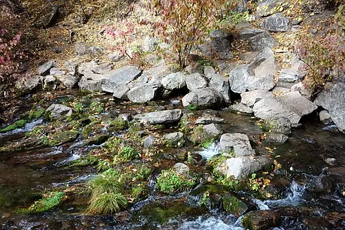
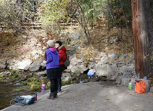
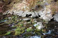
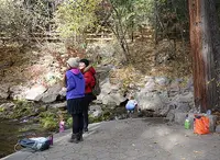
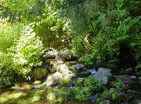
At the foot of Spring Hill, one mile north of downtown Mt. Shasta, water comes straight out of porous rock in the hillside, gathers in a shallow pool, and spills downstream as a creek. A concrete slab beside the pool lets people reach the water without stepping onto the rocks. Locals and travelers come with water bottles, and many locals bring the large containers they fill for cooking and drinking at home. By the Wikipedia account, neighbors and friends treat the spot as a place to meet and talk while the jugs fill, and some prefer this water to their own tap or well.
A sign directly beside the spring states that the water has not been tested and may not be safe to drink, and that no wading is allowed. Wikipedia prints a photograph of the sign and notes under it that visitors continue to drink from the springs.
The spring and the park around it
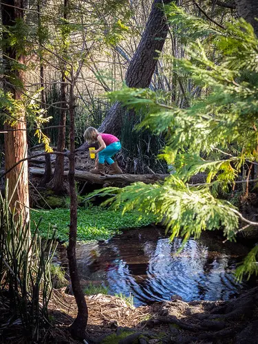
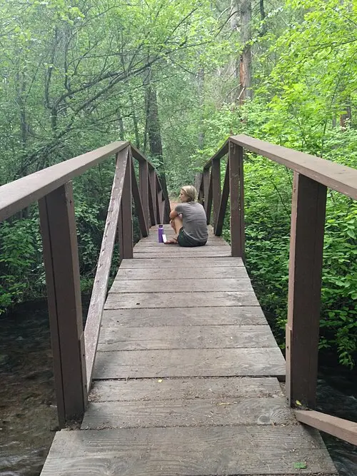
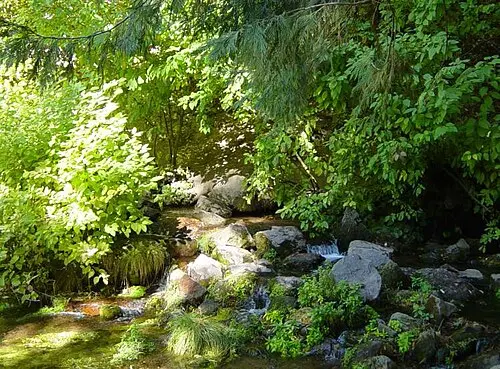
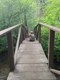
The spring is known as Big Springs. The Mt. Shasta Recreation and Parks District, which owns the 26-acre City Park and keeps its headquarters there, calls it Headwaters Spring. A viewing patio and benches face the water. A paved pathway leads down from the spring and along the creek, and two footbridges cross to wetlands, trails, and more springs to the north.
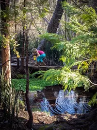
The district names the stream Big Springs Creek, and a Chamber of Commerce trail booklet calls it Springs Creek. The district’s nature trails follow it past native plants and some of the largest trees in the park, and they connect to trails on neighboring land owned by the Siskiyou Land Trust and by Crystal Geyser. The Mt. Shasta Trail Association, quoted in the booklet, describes loops running south to Kingston Meadow that walkers can stack “to create up to 2 miles of hiking and exploration.” Flowers planted along the way carry labels, and in the warmer months hummingbirds, butterflies, and bees visit them.
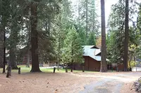
The park lies between the railroad and Interstate 5, and trees and shrubs stand between it and the noise. Beyond the spring are four picnic areas, a gazebo, a playground, a basketball court, a large field, and a paved ADA walkway around the picnic grounds. Dogs come on leashes.
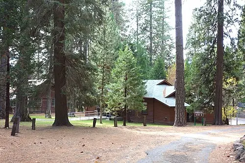
The buildings hold the town’s gatherings. The Upper Lodge has a stage, a commercial kitchen, and seating for more than 185, with a fenced yard behind it holding picnic tables and a barbecue pit. Wikipedia calls it the Recreation Center and says it first served as the local National Guard Armory. The Lower Lodge overlooks the spring. The Dance Hall was once home to the Dudes and Daisies Square Dance Club, and the historic Rod and Gun Building is rented out from spring through fall. Since 1974 the park has served dinners to senior citizens Tuesday through Friday under the Mt. Shasta Senior Nutrition Program.
Fifty years in the rock
Spring Hill, the evergreen-covered rise above the pool, is what geologists call a parasitic or satellite cone. Eruptions along unstable fractures on the flank of Mt. Shasta built it, and it is not part of the mountain’s central cone.
The water leaving its base began higher up. The district says it starts on the snow-covered peaks of Mt. Shasta and travels through underground lava tubes. Wikipedia describes glacial melt filtered for more than 50 years through volcanic rock in the Big Springs Aquifer. The Mount Shasta Herald, quoted in the Chamber booklet, wrote in 2014: “Whether as rainfall, snowmelt or glacial meltwater, water flowing from Big Springs spent decades filtering through layers of volcanic rock to emerge half a century later.” The booklet calls the result “reputed magic water” that people travel from all directions to collect.
The measurements come from several hands:
- CalTrout, 2009. CalTrout’s Mount Shasta Spring Water Report covered more than 22 spring systems around the mountain. It gives Big Springs: - an average discharge of 20 cubic feet per second, or 12,274,000 gallons a day - an average temperature of 7.2°C, or 45°F - an estimated age of more than 50 years - a discharge elevation of 3,567 feet - a mean recharge elevation of 8,170 feet
- Wikipedia. It gives a flow of 420 liters per second and an average temperature of 6.8°C.
- Lawrence Livermore National Laboratory, 2015 sampling. Ate Visser led a study for the State Water Resources Control Board, sampled during the drought of 2015. It found that the Big Springs water, discharging at about 1000 meters, showed a lower recharge temperature than most samples. The study concluded the water likely fell at high elevation and traveled a long path over a long time.
From the pool the creek runs under I-5 to the Elsa Rupp Nature Study, passes through the Mt. Shasta Fish Hatchery, joins Wagon Creek, and enters Lake Siskiyou. By the booklet’s account, the water then goes down Box Canyon Dam and forms the Sacramento River. Wikipedia follows it on into Shasta Lake and the Central Valley Project, and credits the Upper Sacramento with about 15 percent of Shasta Lake’s inflow.
Whether this is the head of the river depends on whom you ask:
- The district calls the spring the headwaters of the Upper Sacramento, though it adds that “other branches of the mighty Sacramento reach even further into the wilderness.”
- The Chamber booklet states that Big Springs is not the true headwaters. It says the spring earned the name because the aquifer feeding it is Mt. Shasta’s contribution to the river.
- William Miesse, in the College of the Siskiyous Library’s Mount Shasta Fact Sheet, writes that two springs called Big Springs, this one and another in the Shasta Valley, “are often considered the main sources of the Sacramento and Shasta Rivers.”
A water wheel and a summer college
Before the park, the land was hunting ground for the Wintun, Okwanuchu, and Maidu peoples. One district page says this lasted until 1841, when outside explorers arrived. Another says the explorers first crossed the land “around 1841.”
In 1901 a water wheel was set at Big Springs. It gave the city its first source of energy: a small amount of electricity for street lights.
From 1920 to 1943, California State University, Chico, used the grounds as the summer campus of its Teacher’s College, and the park buildings still in use date from those years. Chico deeded the property to the city in 1947. In 2005 the city gave it to the Recreation and Parks District.
Foot traffic around the spring raised concern for the ground there. In 2007 a nonprofit, The River Exchange, began work on the park:
- It added the concrete slab at the pool.
- It stabilized the base of Spring Hill against erosion.
- It laid small trails and set out benches and tables.
- It planted more native species.
The district reports that boulders and native plants now hold the hillside above the spring. It counts hundreds of sightseers at the headwaters each year.
The bottling plant across the street
In 2013 Crystal Geyser bought a water bottling plant across the street from the park and planned to draw from the Big Springs aquifer. Local opposition followed.
On March 24, 2014, the City of Mount Shasta held a meeting on the proposal, and CalTrout presented its spring report to what it described as “a packed house of over 200 concerned residents.” Opponents held that the company needed an Environmental Impact Report before operating. Siskiyou County held that the site was already zoned for heavy industry and needed no further review. Wikipedia records an EIR scheduled to begin in 2016 and finish in January 2017.
Wikipedia also gives the company’s estimates: about 115,000 gallons a day, less than 1 percent of the aquifer’s output, about 60 local jobs, and roughly $40 million a year to the Siskiyou community. Residents also worried about plans to dispose of wastewater on site in leaching pools, where it might seep into the aquifer.
California’s 2014 Sustainable Groundwater Management Act does not reach this water. The Livermore report notes that the state identifies no groundwater basin around Mt. Shasta and classes the area as a groundwater source area instead. CalTrout, for its part, said it would keep supplying independent monitoring of “the health and productivity of the Big Springs aquifer.”
Notable Events
- 1901Big Springs was fixed with a water wheel that provided Mt. Shasta City with its first source of energy, a small amount of electricity used for street lights. msrec.org
- 1920California State University, Chico used the park property as the summer campus for the Teacher's College; the park buildings still in use today originated from this time. msrec.org
- 1947California State University, Chico deeded the park property to Mt. Shasta City. msrec.org
- 2005Mt. Shasta City gave the park property to the Mt. Shasta Recreation and Parks District. msrec.org
- 2007The River Exchange, a non-profit organization, began work on Mt Shasta City Park; a concrete slab next to the spring eased access and the project stabilized the base of Spring Hill. en.wikipedia.org
- 2009CalTrout published the Mount Shasta Spring Water Report in that year, covering more than 22 spring systems around the mountain including Big Springs, the proposed water source for the bottling plant. caltrout.org
- 2013Crystal Geyser purchased a water bottling plant across the street from Mount Shasta City Park and intended to tap water from the Big Springs aquifer, drawing local opposition. en.wikipedia.org
- 2014CalTrout presented the Mount Shasta Spring Waters Report to a packed house of more than 200 residents at a City of Mount Shasta meeting on the proposed bottling facility. caltrout.org
People
- Crystal Geyser, bottling company that bottles or holds water bottling rights for Mount Shasta spring waters.
- William Miesse, author of the College of the Siskiyous Library Mount Shasta Fact Sheet, whose Watershed entry counts the City Park Big Springs among the two springs often considered the main sources of the Sacramento and Shasta Rivers.
- Ate Visser, lead author of the State Water Resources Control Board cooperative study that traced where the water feeding Big Springs recharged.
Sources
- msrec.org/headwaters-spring
- msrec.org/mt-shasta-city-park
- discoversiskiyou.com/activities/mt-shasta-city-park
- discoversiskiyou.com/venue/mt-shasta-city-park
- msrec.org/city-park
- en.wikipedia.org/wiki/Mount_Shasta_City_Park
- water.llnl.gov/sites/water/files/2020-09/llnl_mt_shasta_rpt.pdf
- siskiyous.edu/library/shasta/documents/MS_Fact_Sheet_references_34pp.pdf
- mtshastachamber.com/_files/ugd/81ecbe_c7d6696ee001486b8270334b756844be.pdf?index=true