Grasshopper Point Swimming & Picnic Area
Sedona, Coconino County, Arizona. Day-use site.
Details

- Where
- Sedona, Coconino County, AZ. No street address stated. Directions
- When
- 8 a.m. to 6 p.m.
- Season
- April 1 - October 31 and November 1 - March 31.
- Getting there
- About 2 miles north of Sedona on a paved road in scenic Oak Creek Canyon; all roads paved.
- Fees
- Day Use $15 per vehicle per day (up to 5 people); walk-ins, bicycle, extra person $4 per person; cash, checks and credit cards accepted.
- Access
- Day use only; camping not permitted; maximum vehicle length 24 ft.; no RVs, trailers, buses or other oversized vehicles; no campfires or glass containers.
- Walk-in or reserve
- No reservation; pay the daily rate at the gate or use a Coconino Hospitality Annual Pass; the Red Rock Pass and America the Beautiful Pass are not accepted at this site.
- Phone
- 928-203-0624
- Website
- fs.usda.gov
- Managed by
- Red Rock Ranger District, Coconino National Forest.
- Coordinates
- 34.88737, -111.73159.
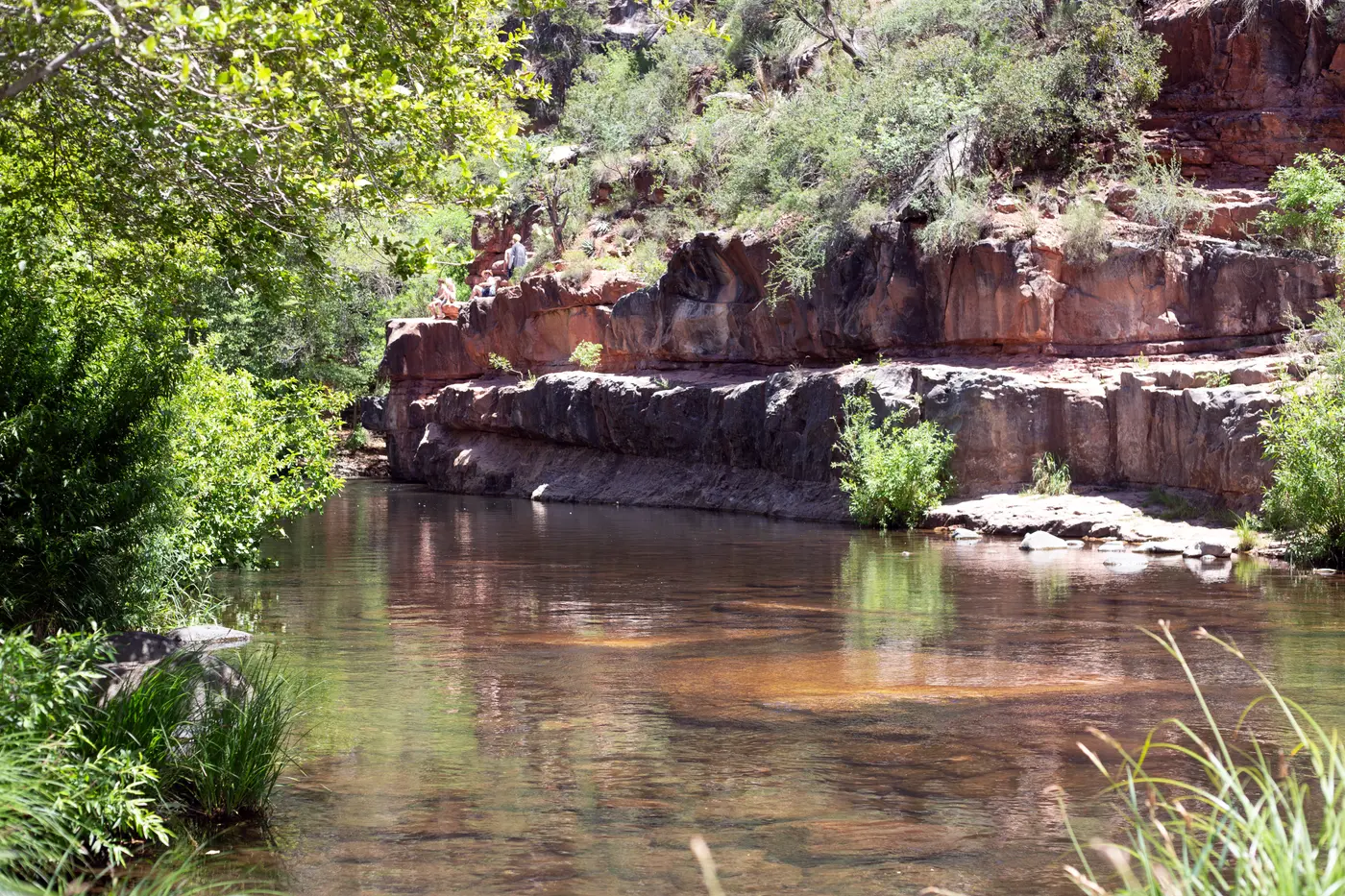
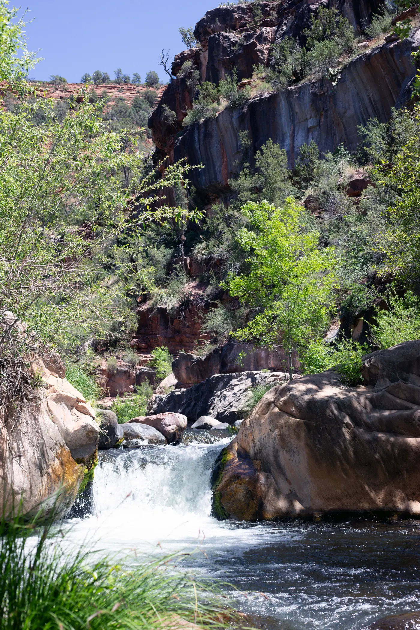
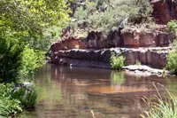
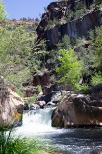
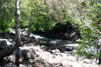
The path to the water at Grasshopper Point starts at the south end of the parking lot. A short walk drops to a clearing. To the left is the sound of Oak Creek, and up a small embankment the pool appears: a large swimming hole at the base of Oak Creek Canyon, fed by two waterfalls and walled on one side by a cliff. The site sits at 4,366 feet off State Route 89A. The Red Rock Ranger District of the Coconino National Forest runs it as a day-use area. Drivers coming down the canyon from Flagstaff cannot turn left into it. They continue about 0.6 miles to Midgley Bridge, turn around, and come back north to make a right turn.
The rules are few and firm. There is no camping, no campfire, no glass, and no vehicle longer than 24 feet. The toilets are vault toilets, and there is no drinking water. Visitors leave by 6 p.m., although the exit gate stays open until dusk. Picnic tables are scattered through the area, and in 2017 the Sedona Red Rock News noted covered tables in the parking lot. That year the fee was $8 a car, and the paper passed along a rumor that no attendant collected it on weekdays. The fee is now $15 a vehicle, paid at the gate or covered by a Coconino Hospitality Annual Pass. The Red Rock Pass and the America the Beautiful Pass are not accepted. A Forest Service recreation guide revised in December 2015 listed Grasshopper Point among the district’s developed picnic areas, with restrooms, trash service, tables and grills.
The cliff and the shallows
The shoreline sits under a tree canopy, which in the 2017 account kept “both people and their watercoolers from overheating.” The paper also found that this pool takes sun for a greater part of the day than other swimming holes in the area. Rocks stand in the water and serve as seats, so swimmers can ease into the chilly creek by degrees. The ground is mostly rock, and many bathers wear water shoes.
“I like the cliffs and how the rocks are in the water and you can sit on them,” said Reagan Womack, a second-time visitor from Prescott. Jada Schumann, also from Prescott, said, “It’s gorgeous, the water is clear and you can see [the bottom] and there’s shady spots.”
The black and red cliff face dominates the pool. In 2017 jumpers reached its ledges by climbing the face or walking around the back. Most leapt from a point about 20 feet up and some from about 35. No lifeguard is on duty. The Forest Service discourages cliff jumping and diving, warning that the pool has “varying depths, hidden rocks and unforeseen objects.” The current is weak, and some visitors float on inner tubes. Upstream from the cliffs the water runs about a foot deep, and children wade there. There is no cell service. “It’s really peaceful and especially after the school year is over, it’s a nice way to calm yourself down and relax,” said Joseph Reich.
Down Allens Bend
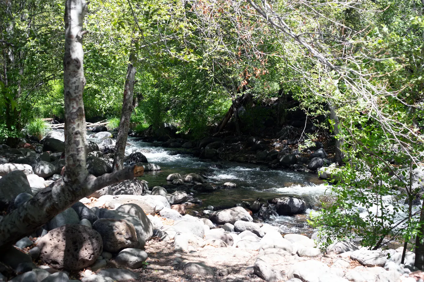
Allens Bend, Trail 111, leaves from the east end of the lot. In the Red Rock News description, the path soon reaches a nearly vertical drop. A nearly 8-foot rock face, with sturdy hand and footholds, leads down to the creek and an open, flat bank for spreading out belongings in the sun. Upstream, crayfish move along the bottom. Visitors try to catch them for fun, and the paper advised against cooking and eating them. Beyond that stretch, Allen’s Bend runs north to meet the Casner Canyon Trail and south to meet the Huckaby Trail.
Fishing is allowed here. The 2015 guide reported that Oak Creek is stocked with trout in the summer months. The creek is also native habitat for the non-venomous narrow-headed gartersnake, and the guide asked visitors who see one to watch it from a distance. Oak Creek is designated an Outstanding Arizona Water. Even so, the guide warned that its water carries a bacteria at levels that pose a health concern, and it asked visitors to pack out their trash, “especially baby diapers!”
Schnebly Hill sandstone on both walls
The canyon above the pool follows a fault. Geologist Wayne Ranney, author of Sedona Through Time, wrote in the Arizona Daily Sun in August 2024 that the fault raised the west side about 1,000 feet relative to the east. Wikipedia’s account puts the difference at about 700 feet. By Ranney’s reading of the lava flows on the east rim, the carving of the canyon is younger than six million years.
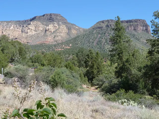
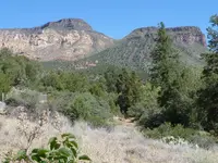
Below Indian Gardens, Ranney writes, the Oak Creek fault veers east for a mile. It then turns 90 degrees to the south, passing east of Munds Mountain. South of those jogs, Highway 89A “plunges headlong between towering cliffs of the Schnebly Hill Formation, now on both sides of the highway. Passing Grasshopper Point, be sure to take in this expansive and impressive view.”
That formation is absent at the Grand Canyon but runs 700 to 1,000 feet thick around Sedona. It records sand dunes that migrated along the shore of an ancient seaway. Ranney attributes the red to iron that groundwater dissolves and lays over each sand grain as a thin coating. The Forest Service guide names the pigment as hematite, or iron oxide. In August 1984 the road through the canyon became Arizona’s first officially designated Scenic Road.
A rescue on June 7, 2022
Shortly before 1:30 p.m. on June 7, 2022, a 17-year-old boy jumped off the rocks into the creek and went into cardiac arrest when he hit the water. Bystanders noticed something was wrong. A few of them pulled him out and began CPR. The Sedona Fire District arrived around 1:30 p.m. and found him in an unsurvivable heart rhythm. A single defibrillation restored his pulse, and by the time the medevac helicopter landed he was talking.
“The impact of the water just hit perfectly during the heart’s normal cycle,” said Battalion Chief David Cochrane.
The boy finished his trip to the Sedona area and flew home. On July 18, Northern Arizona Healthcare gave twelve fire district crew members its Lifesaving Award at Fire Station 4 in Uptown. The district did not identify the bystander who performed CPR, but it thanked him. Captain Patrick Ojeda said: “There’s not a lot of warning signs out there and no lifeguards on duty. People are jumping off rocks at high points and going swimming without anyone there to supervise them.” The district said it wanted to meet with the Forest Service about posting signs at the popular swimming areas.
Ash in the creek, July 2026
Fire has closed the canyon before. After the Slide Fire burned 21,227 acres in May and June of 2014, the Sedona Fire District installed nine outdoor warning sirens through the canyon for wildfire, flash flooding and other emergencies. The sirens are tested each summer.
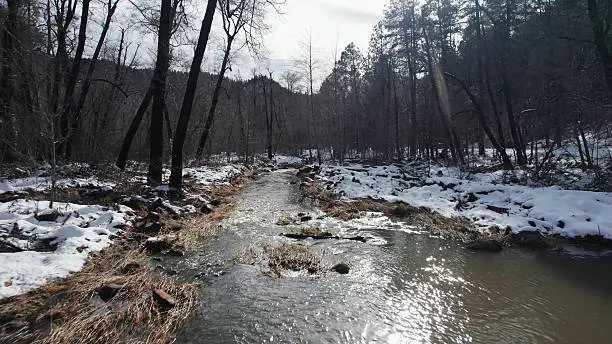
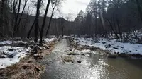
The Pocket Fire started on June 19, 2026, and was 95 percent contained at 27,393 acres as of July 19. The monsoon that checked the fire brought a new hazard. “Oak Creek went from 31 cubic feet per second yesterday to over 600 this morning,” Forest Service spokesman Dick Fleishman said on July 17, after a night of rain sent ash-laden water down the creek. On July 18 the Forest Service closed Oak Creek between West Fork and Uptown under an order running through August 3. The order also closed six picnic areas along the canyon, Grasshopper Point among them.
“The good thing about Oak Creek is it’s a very well-defined stream channel. It’s going to take a lot of water for it to get out of its banks,” Fleishman said. “If you get some debris blockage, it could turn that water and go places where it’s not supposed to go, but it’ll get confined by that canyon.”
Notable Events
- The boy went into cardiac arrest after jumping off the rocks and landing in the water; bystanders pulled him out and began cardiopulmonary resuscitations, and twelve Sedona Fire District crew members received Northern Arizona Healthcare's Lifesaving Award. redrocknews.com
- Because of flooding risk after the Pocket Fire, a Forest Service order closed Oak Creek between West Fork and Uptown and six canyon picnic areas, including Grasshopper Point. redrocknews.com
Sources
- fs.usda.gov/r03/coconino/recreation/grasshopper-point-swimming-picnic-area
- sedonawesterners.org/pdf/stelprd3806979.pdf
- sedonamuseum.org/historyofsedona
- redrocknews.com/2017/06/08/grasshopper-point-is-prime-spot-for-cliff-jumping
- azgs.arizona.edu/guide-geology-sedona-oak-creek-canyon-area-arizona-0
- azdailysun.com/news/local/ask-a-ranger-oak-creek-canyon-the-geology/article_3b264ea2-54e5-11ef-bac3-e34a8de31284.html
- fs.usda.gov/r03/coconino/recreation/oak-creek