Fossil Mountain
Delta, Millard County, Utah. Peak on the south end of the Confusion Range.
Details

- Where
- Delta, Millard County, UT. No street address stated. Directions
- Season
- Open year-round; spring and fall offer the most comfortable climate for fossil hunting.
- Getting there
- From Delta, travel southwest on U.S. Route 50/6 for 49.4 miles, turn left onto Ibex Wilderness Road, and left again on Tule Valley Road; after 7.5 miles turn right onto County Road 3149, travel 5.6 miles, turn right onto County Road 3134; after 1.7 miles turn left onto County Road 3339.
- Fees
- No fees.
- Access
- Part of the King Top Wilderness Area; only surface collecting allowed, digging prohibited; BLM allows reasonable amounts of collection for personal use with no intent to sell.
- Walk-in or reserve
- Walk-in collecting; no reservation or permit stated - collecting reasonable quantities of common invertebrate fossils is allowed.
- Phone
- (435) 743-3100
- Managed by
- U.S. Bureau of Land Management Fillmore Field Office.
- Coordinates
- 38.881279, -113.468271.
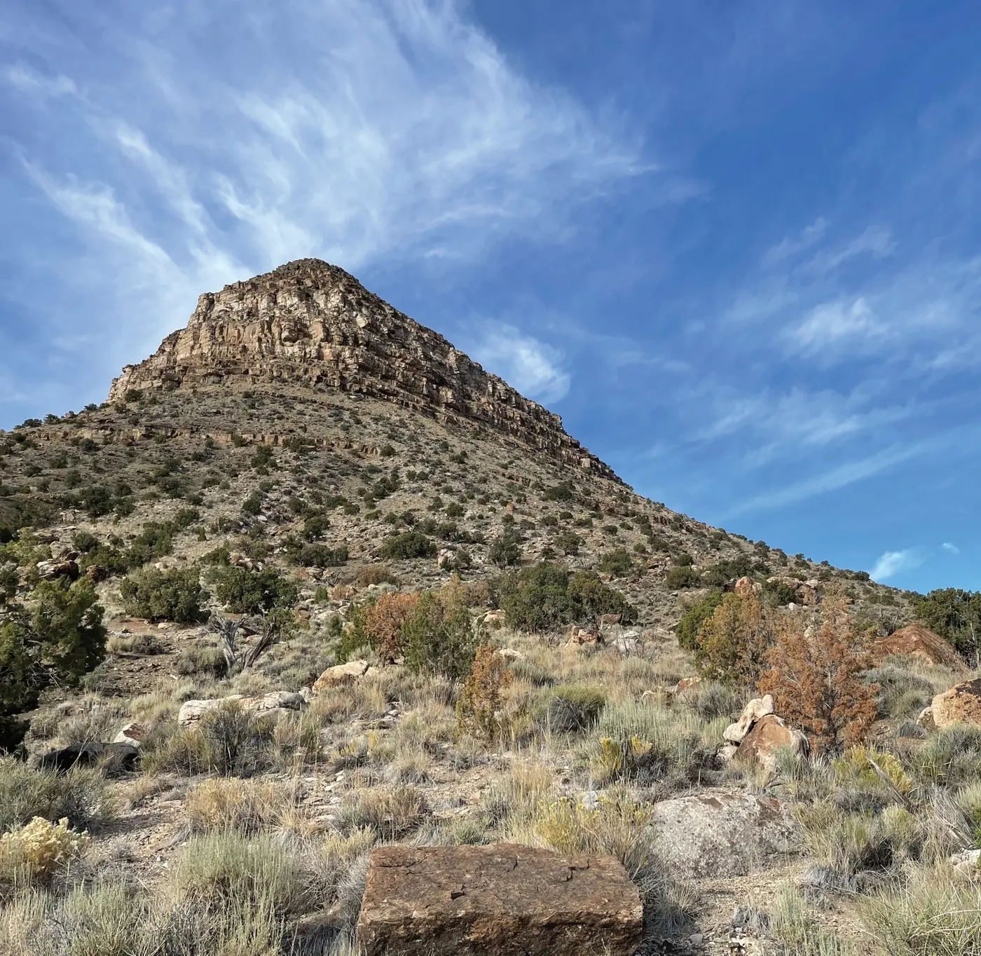
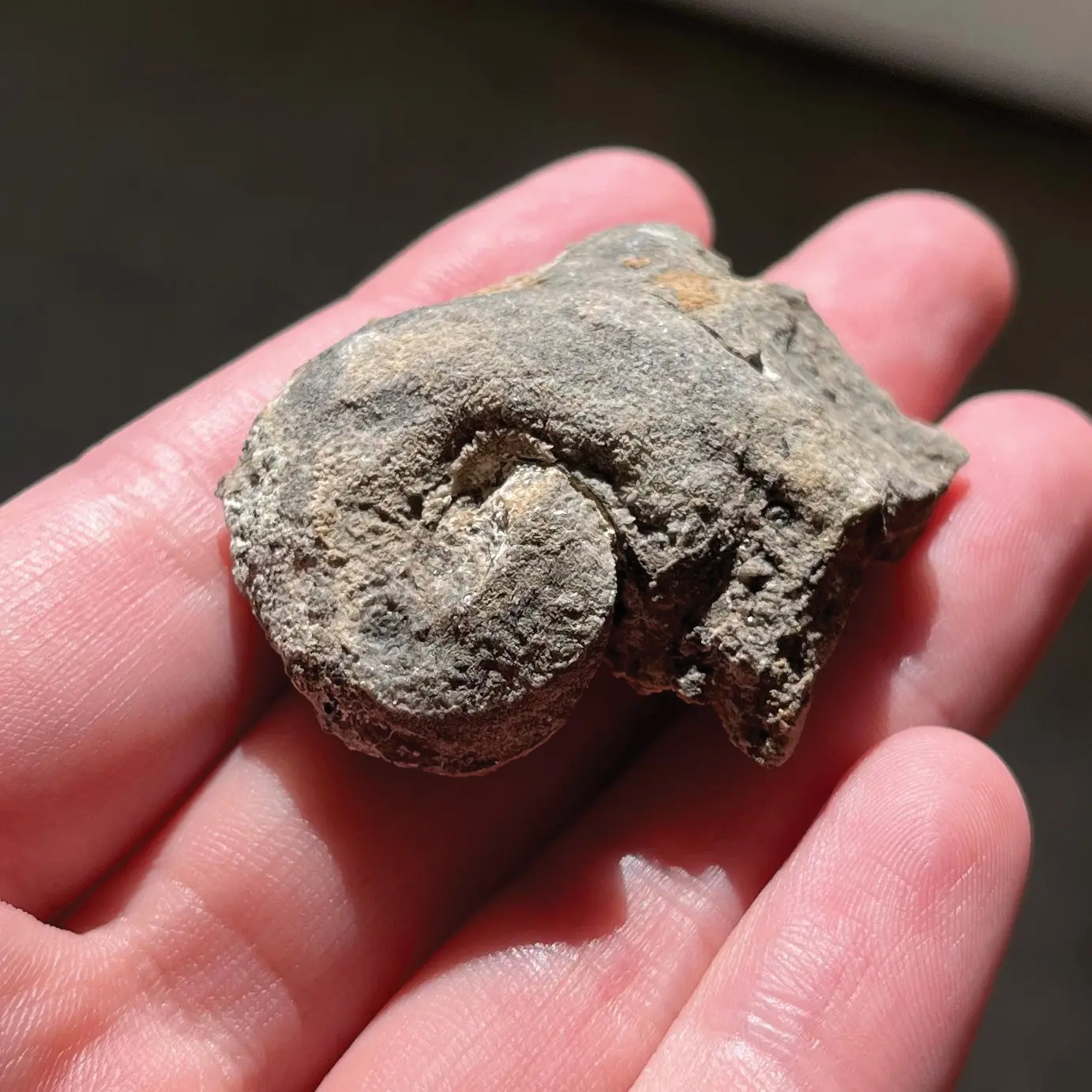
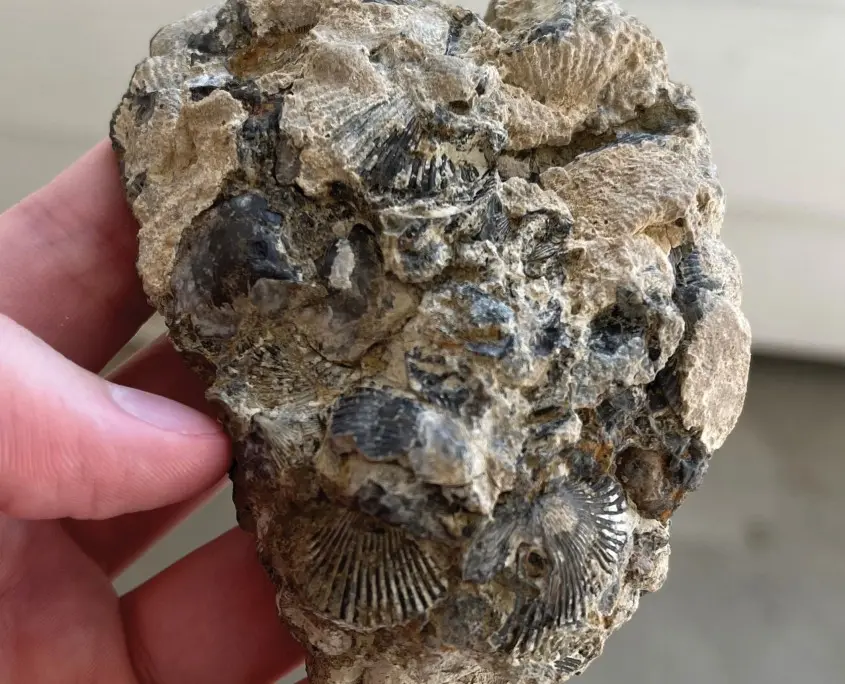
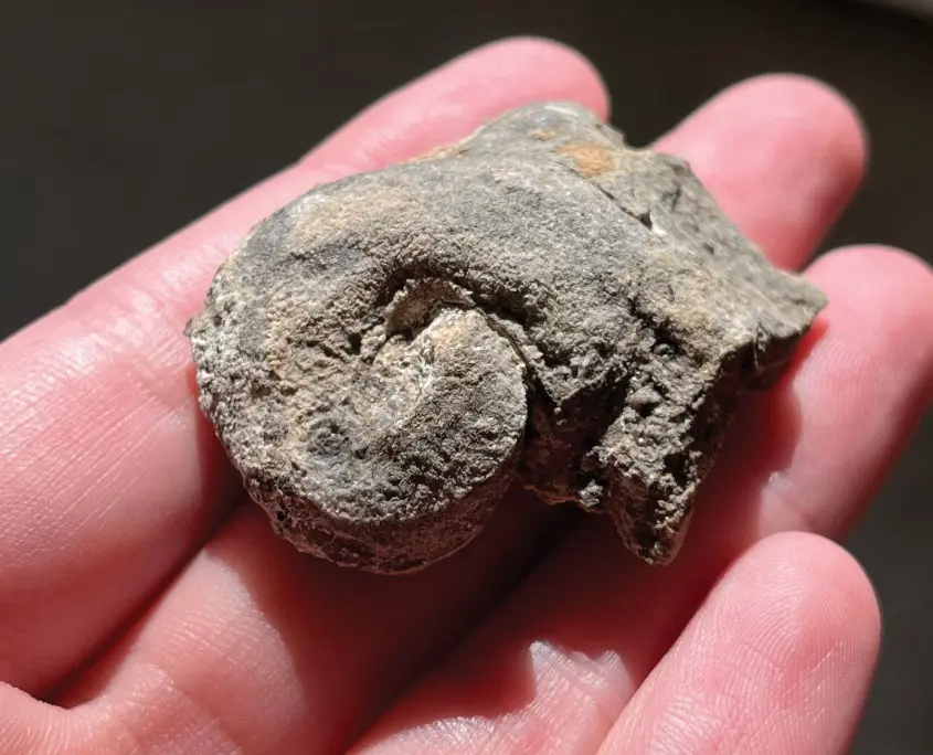
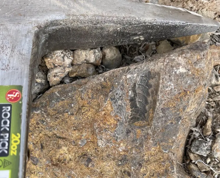
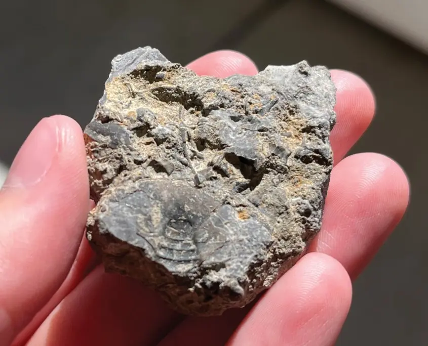
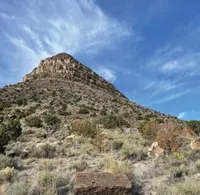
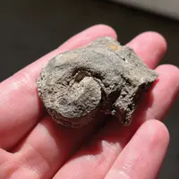
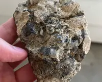
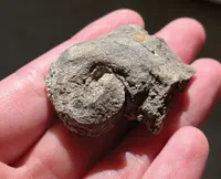
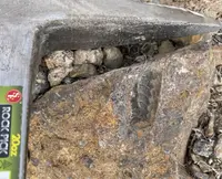
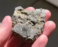
The spur road off Blind Valley ends in a wash, and the looking starts there. The wash runs along the north edge of Fossil Mountain, a 6,729-foot peak in western Millard County. The mountain is in plain view from the turnoff. There are no formal trails past the end of the road. The ground is uneven rock and loose stone cut by wash crossings. The slopes above are layered limestone, siltstone, sandstone, conglomerate, and shale, and in them lie the remains of animals from an Ordovician sea. The Bureau of Land Management lists trilobites, brachiopods, cephalopods, graptolites, and echinoderms. The Utah Geological Survey adds gastropods and crinoids. Millard County tourism describes “various shells and invertebrate fossils embedded in shale rock.” Collectors report that the better specimens lie higher up the hill.
Interpretive panels at the site explain the rock’s scientific significance and set out guidelines for protecting it. From the slopes the view reaches across the surrounding desert ranges. The site has no toilets and no water, and cell service is minimal to nonexistent. The nearest gas, food, and lodging are in Delta, and the county also names Milford, to the southeast.
The road through Blind Valley
The BLM and the county give the same route. From Delta, drive southwest on US 6/50 about 51 miles to the road leading south through Blind Valley. Follow it southwest and then south for 12.5 miles to a spur that heads southwest to the mountain’s north side. The county warns that Blind Valley Road is “extremely rough with sharp rocks.” It calls for a high-clearance vehicle with good tires, a spare or a flat repair kit, and a slow pace. Visitors can also park farther out and walk in. The Utah Geological Survey gives a different approach by county roads:
- Drive 49.4 miles on US 6/50.
- Turn left onto Ibex Wilderness Road, then left onto Tule Valley Road.
- After 7.5 miles, turn right onto County Road 3149 and drive 5.6 miles.
- Turn right onto County Road 3134 and drive 1.7 miles.
- Turn left onto County Road 3339.
Both the county and the BLM advise against driving in when the ground is wet.
The sources differ on the best season. The BLM calls the site open year-round, with harsh conditions in summer and winter and the most comfortable weather in spring and fall. Rockhounds quoted by the county say snow does not reach the peak in winter. They favor fall, winter, and spring to avoid mosquitoes, crowds, and summer heat. Primitive dispersed camping is permitted, with a 14-day stay limit. The county notes some primitive campsites along the road. Dogs are allowed on a leash.
Collecting in King Top
The mountain lies within the King Top Wilderness Study Area, where motorized and mechanical travel is prohibited. There is no fee, and no permit is stated. The BLM allows collecting reasonable quantities of common invertebrate fossils. The Utah Geological Survey states the rule more narrowly: surface collecting only, no digging, for personal use with no intent to sell. The BLM visitor page assigns the site to its Price Field Office. The Survey names the Fillmore Field Office.
Six formations and a quartzite cap
The mountain is named for the marine fossils on its slopes. The sources disagree on which range it belongs to. The BLM visitor page places it in the Fish Creek Range. The Utah Geological Survey, the BLM’s King Top pages, and the county put it at the south end of the Confusion Range. According to the BLM, the Confusion Range rises abruptly above the desert valleys like most Great Basin ranges. Its summit, however, is almost a plateau, a hilly upland whose steepest slopes face east. Desert shrub covers the lower elevations, and pinyon-juniper woodland covers the King Top plateau. Wild horses, bald eagles, golden eagles, and peregrine falcons live in the study area.
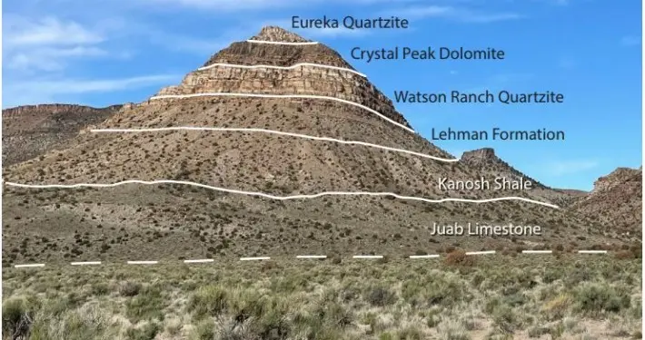
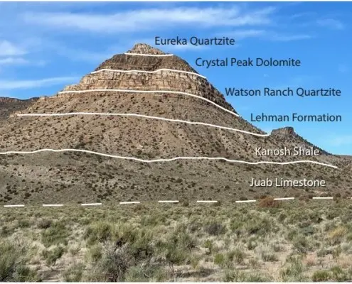
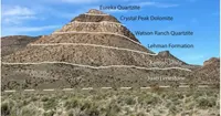
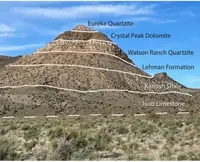
The fossil beds belong to the upper Pogonip Group. The BLM dates them to roughly 485 to 458 million years ago. The Utah Geological Survey names four exposed formations: the Wah Wah Limestone, Juab Limestone, Kanosh Shale, and Lehman Formation. The county counts six formations, dated 485 to 470 million years old: the House Limestone, Fillmore Formation, Wah Wah Limestone, Juab Limestone, Kanosh Shale, and Lehman Limestone. The county credits tectonic plate movement, which forced the sediment upward, for the density of fossils.
Above the Pogonip, the Survey records a change in the ancient seafloor. Quartz-rich sands eroded from the northeast overwhelmed the carbonate platform and laid down the Watson Ranch Quartzite, the Crystal Peak Dolomite, and the Eureka Quartzite. The Eureka Quartzite forms the peak itself.
The BLM calls Fossil Mountain one of the more important locations in the world for early Ordovician fossils, frequently visited by paleontologists and amateur collectors. The county puts it more strongly: “perhaps the most diverse and concentrated site of fossil accumulation in the world.”