Fishtrap Recreation Area (BLM), Spokane/Lincoln County, WA
Spokane, Spokane County, Washington. Recreation Area; Open year-round.
Details

- Where
- Spokane, Spokane County, WA. No street address stated. Directions
- Getting there
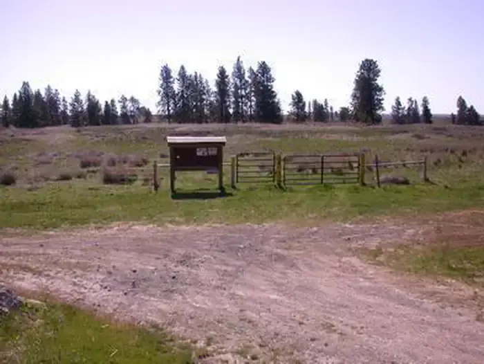
- Fishtrap Recreation Area is just a 30-mile drive southwest of Spokane, Washington. From Interstate 90, take Exit 254, and then travel east for 1.75 miles to the public land access.
- Fees
- No fees.
- Access
- There are no developed campgrounds.
- Walk-in or reserve
- A paid-in-advance WDFW parking permit is required at the concrete boat launches on both lakes.
- Phone
- 509-536-1200
- Managed by
- Bureau of Land Management, Spokane District Office.
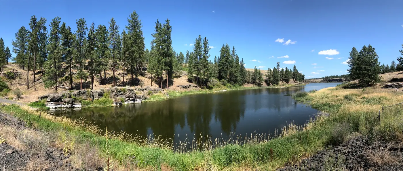
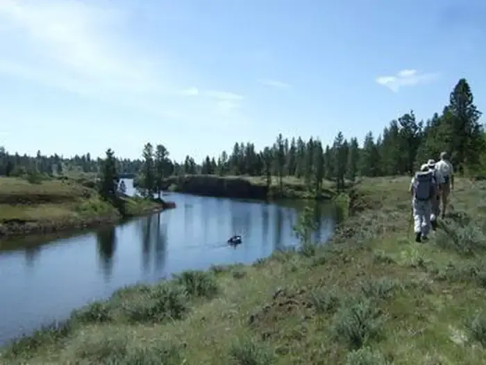
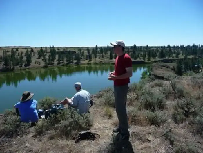
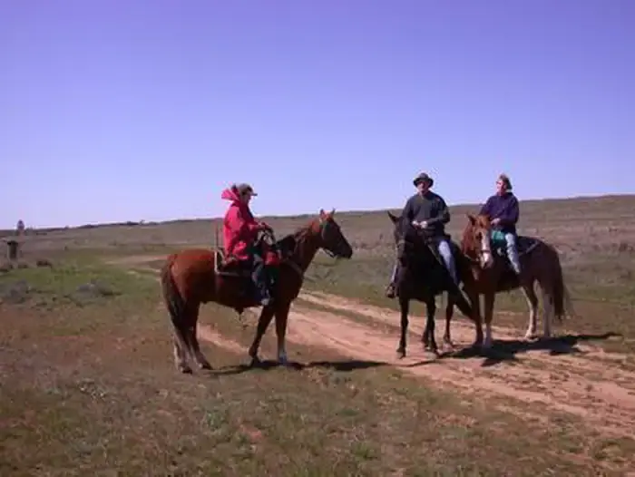
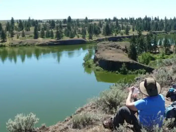
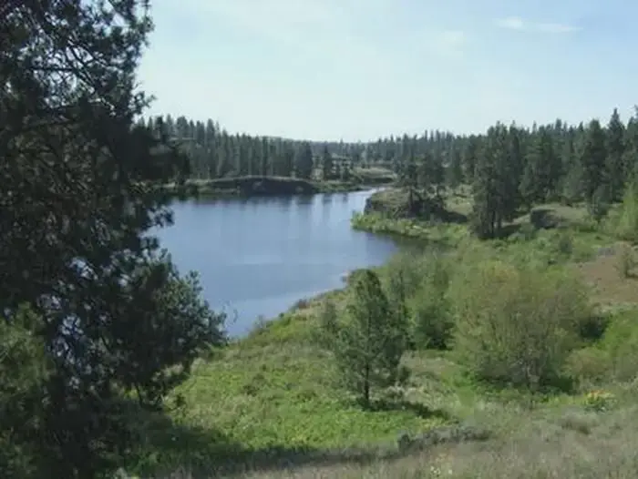
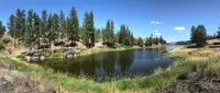
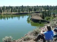
On a bluff above The Narrows of Fishtrap Lake, two trails come together. The North Loop and the South Loop share a 0.7-mile stretch down off the plateau to this junction. From it a hiker turns either way: south along the bluff with the lake on the left, or north with the lake on the right. Walked together as a figure eight, the loops make a trek of about 10 miles for foot, bike, or horse. The ground they cross is the Fishtrap Recreation Area, public land of the Bureau of Land Management’s Spokane District, about 30 miles southwest of Spokane off Interstate 90 at Exit 254. The BLM’s current page gives its size as 9,000 acres. An older BLM brochure counted “over 5,000 acres of public land.”
Two loops above The Narrows
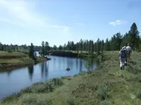
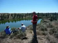
The South Loop runs 5.3 miles with 500 feet of cumulative climbing, according to Rich Landers’s 2019 trail notes in The Spokesman-Review. From the trailhead the singletrack passes wetlands and rock outcrops, goes through an aspen grove, and reaches an earthen stock pond where ducks often rest. Past the junction at The Narrows, cliff swallows and turkey vultures work the bluff in summer. At 2.6 miles a spur leads to a point above a cliff that drops to the lake. Beside the spur lies a crater big enough to swallow a house. It is a kolk, scoured out by whirlpools during the Ice Age Floods. The trail then drops into a basin of burned timber, skirts the cattails of a pothole, and comes out at Farmers Landing, an open point and picnic spot 3.6 miles along, half a mile from the lake’s south end. On the doubletrack back, gunfire from nearby target shooting is common. Where water runs across the trail in a wetland, boards laid upstream give a dry crossing.
The North Loop is 4.9 miles with 460 feet of gain, with long stretches of open view. Its singletrack forks west between two pothole craters and runs south along a rim above wetlands, where bitterroot blooms in the gravelly ground in late May. Cattle still graze the area in summer, and fall hikers step over the cow pies. E-bikes are barred from all trails at Fishtrap. The day-use sites carry the names of the old ownership and the terrain: Miller Ranch House, Square Butte, Hog Lake Loop. There are no campgrounds, though tent camping is allowed away from the developed sites.
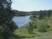
The lake covers 190 acres. It is known best for its spring and summer season on rainbow trout stocked by the Washington Department of Fish and Wildlife. Hog Canyon Lake, about 11 miles northeast of Sprague in Lincoln County, is fished in winter. Both lakes have concrete boat launches kept by the state. Just east of the north trailhead, the Fishtrap Lake Resort keeps docks and campsites and rents small boats. In 2019 it was open from late April through Labor Day.
Camas, coots, and a viewing scope
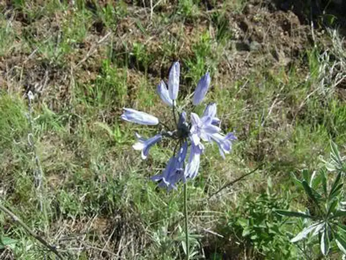
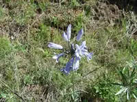
The country looks dry from the road. “Despite the arid look to the area, there are a lot of wetlands with lush growth,” said Holly Weiler, who leads volunteer projects for the Washington Trails Association. The BLM brochure sends wildflower hunters first to the trail to Farmer’s Landing. Yellow balsamroot dots the uplands in spring, camas turns the wetter ground blue, white serviceberry lines the cliff edges, and purple and white lupines bloom nearly everywhere. Elkhorn clarkia appears in early summer, its pink petals shaped like a rack of antlers. Bitterroot, called “rock rose,” grows in the rocky side canyons. “I’ve never seen so much wildflower diversity in one hike,” Weiler said after a late-May outing. In fall, islands of golden aspen stand among scattered ponderosa pine. “You can hike there through November, and I’ve cross-country skied there in winter when conditions allow,” she said.
According to the brochure, birds flock to Smick Meadows in all four seasons. From its viewing station, northern shovelers and spotted sandpipers can be seen. Coots, mallards, black terns, and killdeer nest and raise young through the summer, and American kestrels and prairie falcons nest nearby. Great horned owls, red-tailed hawks, and red-breasted nuthatches turn up at any time of year. Tree frogs chorus from the wetlands in the spring breeding season. Long-toed and tiger salamanders, spotted frogs, and spadefoot toads live along the wet edges.
At Folsom Farm a few buildings remain. From them an overlook looks down on a restored wetland, and a quarter-mile path leads to a wildlife viewing stand with a scope. Waterfowl are very often in view. The BLM keeps the farm as an interpretive site showing how this country was turned into small farms, ranches, and communities beginning in the late 1800s.
Floodwater, fish traps, and a dance hall
The farm stands on the Channeled Scablands of eastern Washington, named for their trenches and outcrops of ragged, scarred rock among wet meadows and wheat fields. The BLM says the Great Missoula Ice Age Floods carved this ground about 12,000 years ago, or more than 12,000, depending on the page. Landers wrote 12,000 to 15,000. A 1976 Geological Survey pamphlet put the great flood at 18,000 to 20,000 years ago. The same pamphlet credits geologist J Harlen Bretz of the University of Chicago with first using the name “Channeled Scablands,” in the early 1920s. Besides its kolks, the Fishtrap ground holds mima mounds, which the 2019 account calls mysterious.
Native Americans foraged here and set traps to catch fish near the lake’s outlet. “That’s the source of the lake’s name,” said BLM archeologist Anne Boyd. She said some of the local rock is high in flint-like material that could be worked into arrowheads, knives, and spear points, and that “Natural caves formed during Ice Age Floods were used as rock shelters.” The brochure adds that over thousands of years the plants and animals here gave Native Americans food, medicine, and spiritual uses.
Recreation at the lake is documented from 1900. That year a trapper opened a rustic fishing resort with a few rowboats at the inlet, where Hog Canyon Creek enters the basalt-rimmed lake. Resort hands drove a team and livery wagon up the road to the Northern Pacific railroad stop to bring in campers from around the region. The stone house and hotel went up between 1910 and 1912. Just after World War I, a large wooden dance hall was built straddling the inlet, and it became the gathering place for Fourth of July celebrations. The Depression ran the resort down, and World War II cut further into business. The hall has served as little more than a boathouse since.
From the Miller Ranch to Carsonite posts
The recreation area was once the Miller Ranch, held by Charles Miller’s family since 1871. In 1992 he and his wife, Diane, sold the 8,000 acres to the BLM for $2.5 million. In 2011 Bob Strong, a Spokane hiker, proposed a trail system beyond the old ranch roads that had served the Millers. In 2013 the BLM began planning one.
Before any trail was dug, the Watermelon Hill fire of 2014 leaped through 13,000 acres and left dead ponderosa pine standing. Ground was broken on September 26, 2015, National Public Lands Day. That day the Washington Trails Association, the Spokane Mountaineers, and the Backcountry Horsemen turned out with pulaskis. “There was some rocky ground to deal with and drainage is an issue in some places,” Weiler said. The fire made the larger trouble: “Snags from the fire’s impact on ponderosa pine stands created hazards, especially when the wind blew.” The danger outlasted the work. “One small area had 11 blowdowns after wind events this spring,” she said in 2019.
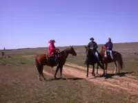
The two loops took more than 4,000 hours of volunteer planning and labor. Hikers, bikers, and riders had found their way around them by spring 2019. In early October that year, Steve Smith, the BLM’s Spokane-based recreation manager, had horsemen out with Weiler marking the loops with flexible fiberglass Carsonite posts.
Notable Events
- 1871The Miller Ranch had been in Charles Miller's family since 1871. spokesman.com
- 1992Charles and Diane Miller sold the 8,000 acres to the BLM for $2.5 million. spokesman.com
- 2013The BLM began planning new trails in 2013, two years after Spokane hiker Bob Strong suggested a trail system beyond the old ranch roads. spokesman.com
- 2014The Watermelon Hill fire leaped through 13,000 acres in 2014, leaving ponderosa pine snags that complicated trail building. spokesman.com
- 2015Groundbreaking for the new trails began on National Public Lands Day with a work party of WTA, the Spokane Mountaineers and Backcountry Horsemen. spokesman.com
People
- Anne Boyd, BLM archeologist explaining Fishtrap Lake's trap-fishing name origin.
- Bob Strong, Spokane hiker who suggested a trail system beyond the old ranch roads.
- Charles Miller, ranch owner who, with his wife Diane, sold the 8,000 acres to the BLM (family held the ranch since 1871; sold in 1992).
- Diane Miller, co-seller of the Miller Ranch to the BLM (1992).
- Holly Weiler, Washington Trails Association volunteer-project leader at Fishtrap.
- Steve Smith, BLM recreation manager who organized horsemen and Weiler to mark the loops.
Sources
- blm.gov/visit/fishtrap-recreation-area
- blm.gov/oregon-washington/public-room/map/washington-fishtrap-recreation-area-georeferenced
- blm.gov/sites/default/files/documents/files/Fishtrap_Recreation_Area_geo.pdf
- blm.gov/press-release/blm-closes-vehicle-access-hog-canyon-lake
- pubs.usgs.gov/gip/70007447/report.pdf
- spokesman.com/stories/2019/oct/06/fishtrap-lake-becoming-trekking-destination-on-hee
- blm.gov/visit/folsom-farm-recreation-site
- govinfo.gov/content/pkg/GOVPUB-I53-PURL-LPS52426/pdf/GOVPUB-I53-PURL-LPS52426.pdf