Fischer Canyon Collecting Site
Brothers, Crook County, Oregon. Public rock collecting area; Best time: May-October.
Details

- Where
- Brothers, Crook County, OR. No street address stated. Directions
- Getting there
- From Prineville, travel 31 miles south on Highway 27 (Main Street) and turn left on a dirt road 0.15 miles after Salt Creek Road. Drive 0.5 miles to the base of hills.
- Fees
- Day-use fees: None.
- Access
- The last a half of miles of the road is rough and muddy when wet, 4WD with high-clearance vehicle is recommended.
- Managed by
- Bureau of Land Management (BLM).
- Coordinates
- 44.023383, -120.692483.
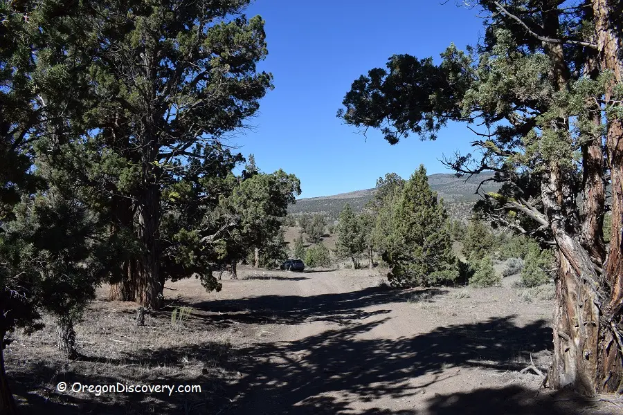
A cattle guard marks the start. From Prineville, Highway 27 runs 31 miles south. A dirt road turns off to the left 0.15 miles past Salt Creek Road and runs half a mile to the base of the hills. Rockhounds cross the cattle guard, park, and go on foot. The last half mile of road is rough and muddy when wet, and a high-clearance four-wheel-drive vehicle is recommended. Visit Central Oregon adds that the road is not maintained and can be extremely muddy after rainfall.
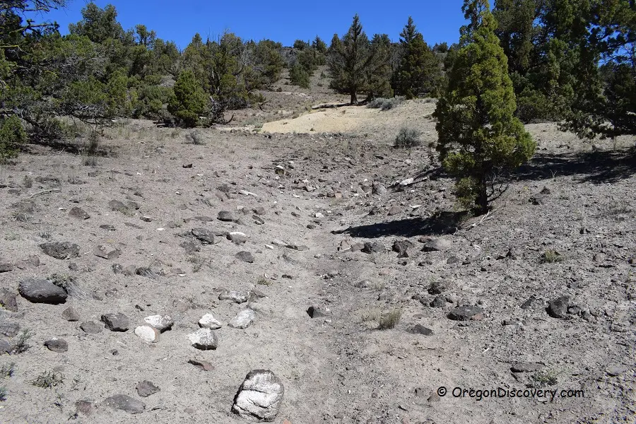
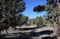
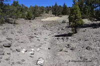
Fischer Canyon is a public rock collecting area of the Bureau of Land Management in Crook County, Oregon. The Oregon Discovery guide gives it as 640 acres at 3,500 feet, 21 miles north of the small town of Brothers and near the Bear Creek collecting area. No fee is charged. The site has no dedicated digging pits, Visit Central Oregon notes. The finds lie scattered about the high-desert hillsides and grasslands. Oregon Discovery sends collectors through the hills and along the hill bottoms, and into the dry washes beside the road on both sides of the parking area.
Calcite, jasper, and wood on the slopes
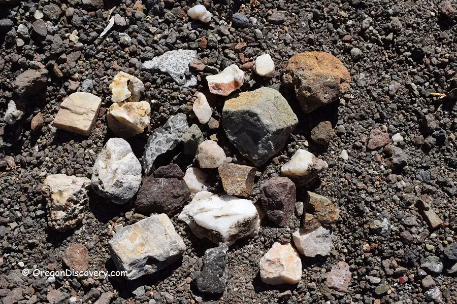
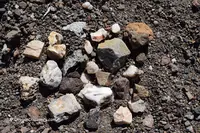
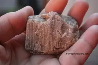
The list for the canyon runs to calcite, jasper, agate, quartz, common opal, leaf fossils, and petrified wood. White calcite is the most abundant, according to Oregon Discovery, and it fluoresces pink under ultraviolet light. That guide lists a geology pick and a 365-nanometer UV light as the tools to bring. On the visit its writers recorded, they found large chunks of green and red jasper, petrified wood, and many small pieces of calcite.
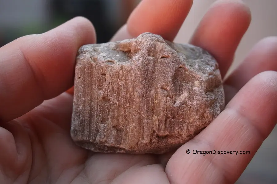
The Forest Service’s notes on central Oregon material serve in the field. Jasper is opaque, with red and yellow varieties common and green more scarce. Rough jasper is dull and must be moistened or polished to bring out its color. Agate is translucent, and the local forms are usually white to colorless and often layered. Petrified wood is best known by the grain of its annual growth rings, most plainly when a piece is viewed from the end. Local wood runs from white to black, with browns the most common.
Carrie Gordon, an Ochoco National Forest geologist, told The Bulletin in 2008 that a shovel is not always needed. “I’ve actually found some of my best pieces just walking around in the spring on the slopes in the forest and on BLM land,” she said. “You can do surface collecting anywhere.”
Collecting is for personal use only, and commercial resale is not allowed. The BLM allows petrified wood to be taken free up to 25 pounds a day plus one piece, and no more than 250 pounds a year. The Bulletin, in 2020, gave the same limit for rocks at the Crook County public sites and noted that vertebrate fossils and historical artifacts may not be collected. Oregon Discovery gives May through October as the best season. Camping is allowed in the Ochoco National Forest, and lodging is in Prineville and Bend.
Mudflows, groundwater, and a map
The stone began with volcanoes. A chain of them in eastern Oregon began erupting about 50 million years ago, the Forest Service writes, in a tropical climate that supported lush woodlands. Ash on their slopes mixed with rain into mudflows that swept across the land and buried trees. That entombed wood became much of the petrified wood collected in central Oregon today. Superheated groundwater circulated through the rocks and filled cracks and voids with quartz, calcite, and other minerals. Gordon described it as silica-rich groundwater filling the cracks with quartz, agate, and jasper. Later, Cascade lava flows piled high enough to block moist Pacific storms, and the climate turned to the dry high desert of today.
The human record is shorter. Central Oregon’s rockhounding areas were first mapped in the 1960s, when some sites were maintained by local chambers of commerce, according to The Bulletin. In July 1989 the BLM’s Prineville District issued its Brothers/LaPine Resource Management Plan, recommended by district manager James L. Hancock. It listed Fischer Canyon among its public rockhounding areas, for petrified wood, and called for rockhounding management plans for it and other named areas. Four years before The Bulletin’s 2008 report, the Forest Service, the BLM, and the Prineville-Crook County Chamber of Commerce updated the map. The new edition added Global Positioning System coordinates, a briefing on local geology, and a “rockhound’s code of ethics.”
That map remains the guide in the field. Visit Central Oregon calls it the best, and sometimes the only, source of directions to the public sites. It can be bought through Avenza Maps or at the offices of the Ochoco National Forest, the BLM Prineville District, and the chamber. In 2008 the chamber’s executive director, Brandi Hereford, said the office gave out hundreds of the maps each year to visitors with one request: “I’m here to rockhound, where’s the map?”
Notable Events
- 1960sCentral Oregon rockhounding areas were first mapped, with some sites maintained by local chambers of commerce. bendbulletin.com
- 1989BLM's resource management plan called for developing rockhounding management plans for Fischer Canyon and other named areas; this is a planning action, not proof of construction or a founding date. archive.org
Sources
- fs.usda.gov/r06/ochoco/natural-resources/rocks-minerals
- blm.gov/sites/default/files/docs/2024-07/orwa-rock-collect-guide.pdf
- oregondiscovery.com/fischer-canyon
- bendbulletin.com/2020/09/18/dig-for-history-in-the-ochoco-national-forest
- visitcentraloregon.com/things-to-do/outdoor-activities/rockhounding
- archive.org/download/brotherslapinere14unit/brotherslapinere14unit_djvu.txt
- archive.org/download/proposedupperdes02unit/proposedupperdes02unit_djvu.txt
- bendbulletin.com/2008/06/02/for-rock-enthusiasts-were-a-bit-of-a-mecca