.jpg)
Fairy Lake
Bozeman, Gallatin County, Montana. Campground; 6/16 -12/1. Weather Dependent.
Details

- Where
- Bozeman, Gallatin County, MT. No street address stated. Directions
- When
- Open 24 hours/day.
- Getting there
- 22.5 miles north of Bozeman on MT 86, 5 miles west on Fairy Lake Rd (steep gravel).
- Fees
- No fees are required for this site.
- Access
- Road slippery when wet. Not suitable for RV or towed unit travel. High clearance vehicle recommended.
- Website
- fs.usda.gov
- Managed by
- Custer Gallatin National Forest.
- Coordinates
- 45.90734, -110.96302.
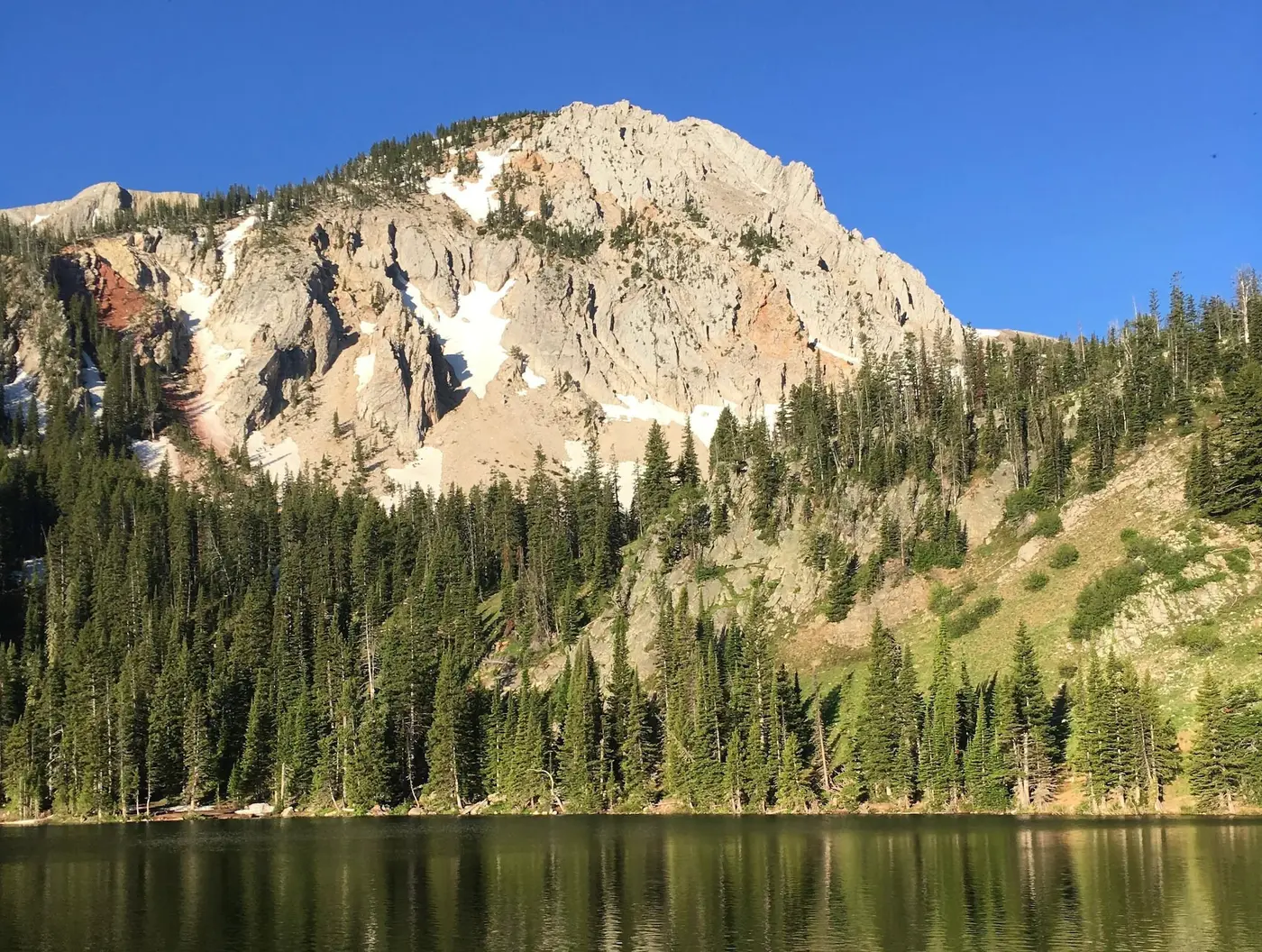
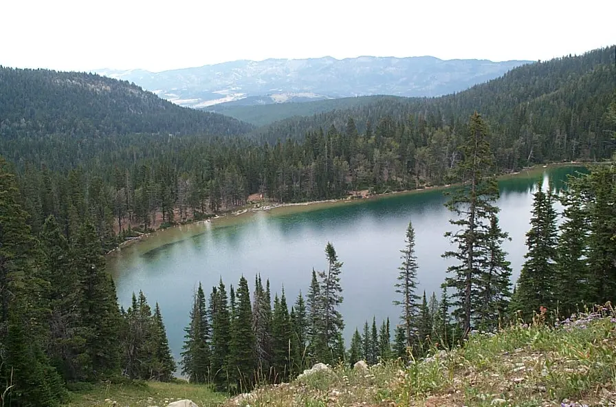
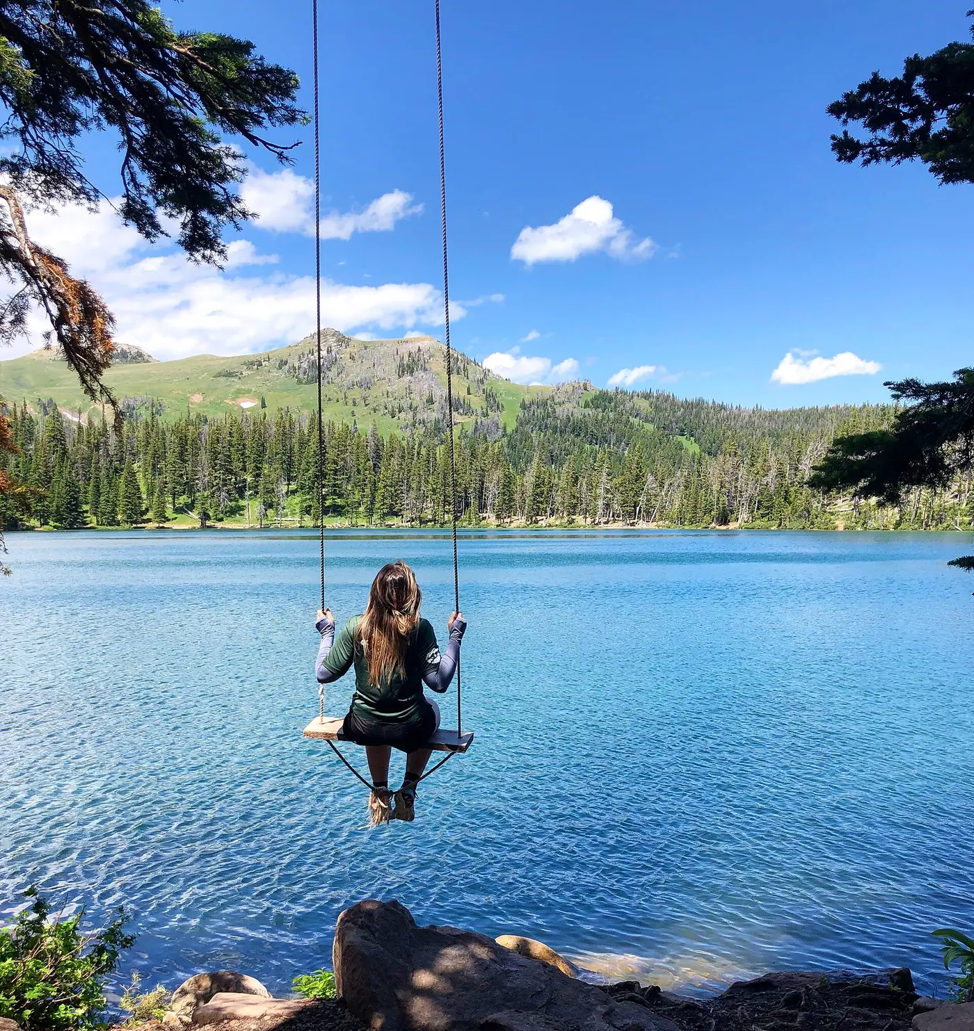
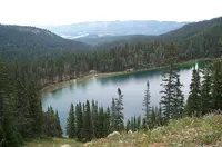
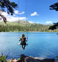
Fairy Lake lies at the foot of Sacagawea Peak in the Bridger Range, a small glacial lake of emerald-colored water about an hour’s drive from Bozeman. From the parking area and the campground, a short run of stairs leads down to the shore, and a flat trail of 0.8 mile circles the water. Visit Bozeman lists the lake among the area’s swimming holes. A note in the Museum of the Rockies photo archive offers a guess at the name: the lake may have gotten it from the mist that dances on top of the water.
Stairs to emerald water
The road decides most of the trip. The Forest Service gives the route as 22.5 miles north of Bozeman on MT 86 up Bridger Canyon, then 5 miles west on Fairy Lake Road, Forest Road 74. The road is steep gravel, slippery when wet, and unsuitable for RVs or anything towed. The Forest Service recommends a high-clearance vehicle. A 2009 trail guide by two Montana State University geology majors says four-wheel drive is not needed: “take your time driving to the trailhead.” The forest service gate usually opens in mid-June. Visit Bozeman warns that anyone who comes earlier should be prepared to walk a few extra miles on a possibly snowy road. The Forest Service season runs from June 16 to December 1, weather permitting.
The campground is run by the Custer Gallatin National Forest. It has nine sites, an accessible vault toilet, and drinking water in summer only. The Forest Service lists stream fishing, scenery, and wildlife among what it offers. Campers bring their own firewood and carry out their own trash. The road ends at the Fairy Lake Trailhead. From there trails lead to the Bridger Foothills National Recreation Trail and to Hardscrabble and Sacagawea peaks, which the Forest Service names as the highest in the range.
Corals on the way to Sacagawea
The Sacagawea Peak trail starts just uphill from the main campground parking area and climbs about 2 miles at a moderate grade. The same ground is the start of the Bridger Ridge Run. The first stretch goes through old-growth forest over Madison Limestone. This rock was laid down about 340 million years ago in warm, shallow seas, a setting Dr. David Lageson of Montana State has called “Bahama Montana.” The lower Lodgepole Limestone is thinly layered, and the upper Mission Canyon Limestone is massive. Both carry fossils all the way to the summit: rugose or “horn” corals, brain corals, brachiopods, bryozoans, and crinoids, which the guide also calls “lilies of the sea.”
Switchbacks lift the trail above treeline into an east-facing bowl, the glacial cirque that sits above the lake. It was carved during the last ice age, 18,000 years ago. On every side, the limestone beds that were once laid flat now stand nearly vertical, tilted by mountain building. These upended beds give the skyline along “The Ridge” its jagged look. On the north wall of the cirque, the Lodgepole Limestone is bent into chevron folds. Past the saddle on the ridge, the trail crosses into older Devonian rock, beginning with the yellowish sandy siltstones of the Sappington Formation.
Five meters of lake mud
The lake lies at 2,306 meters. For a 2016 Montana State University thesis, James Victor Benes worked from a 5-meter sediment core taken from it. In 2019 he published the results in Quaternary Research with Virginia Iglesias and Cathy Whitlock. The pollen and charcoal in the core cover the last 15,000 years and give the first record of its kind from high elevation in the Greater Yellowstone Ecosystem.
In the record, tundra-steppe gives way to open Picea forest at about 11,200 cal yr BP. After about 9200 cal yr BP comes Pinus–Pseudotsuga parkland, in a climate warmer and drier than today’s. Mixed-conifer parkland replaced it at about 5000 cal yr BP. The present subalpine forest took hold at about 2800 cal yr BP. The core also shows more avalanches or other mass-wasting during the early late-glacial, the Younger Dryas, and the Neoglaciation, which the authors read as cool, wet periods. They also found the Bridger Range wetter than other areas during the early Holocene. In warm periods the landscape opened and burned more often, though with less fuel to burn. The thesis adds that archaeological remains in the watershed point to some human activity in recent centuries. How far people changed the vegetation, it says, is not easily told apart from the work of climate.
Horseback, July 1927
In June 1927, Allan Charles Thurman, thirteen years old, came by train from Raleigh, North Carolina, to spend the summer with relatives in Belgrade. His host was Egbert S. Newbury II, “Uncle Bert,” who had been elected mayor of Belgrade in 1923. Allan’s letters, photographs, and a journal kept largely by a female relative were digitized in 2008 by his daughter, Jane Thurman. Rachel Phillips of the Gallatin History Museum published them in Bozeman Magazine in June 2024.
On June 17, Allan wrote his father that Mr. Newbury might take him and his cousin Frances on horseback to one of the highest mountains: “There is a lake up there (so high that nothing can grow up there).” Rain held the trip back. The journal entry for July 15 reads: “The horses are all shod and ready and the excitement at the Newbury home is great.”
The July 18 entry tells the trip. The party drove to the foothills, met the horses there, and gave each rider a mount, with one horse packed with provisions and blankets. They set out at eight in the morning and arrived at seven at night. On the way they lost the trail and fought through timber that tore Allan’s raincoat to shreds, and he lost his heavy dark sweater entirely. At the top they built a big fire and cooked dinner. Hard ground and mosquitoes kept anyone from sleeping well. In the morning they took photographs climbing Mt. Sacagawea, which the journal gives as 8,000 feet, against 4,500 at Belgrade.
Allan’s own letter to his mother adds what the journal left out. At a fork in the road, his cousin Egbert S. Newbury III went ahead to scout and did not come back within five minutes: “Frances boo-hooed and said ‘Egbert’ 50,000 times.” Then he wrote: “Fairy Lake is bottomless. Dorothea said it was an old crater of a geyser and Frances said, ‘Do you think it will erupt?’ and she was awful worried.” At nightfall Frances said, “Let’s all sleep together.” They tied some of the horses and hobbled the rest. “Three horses got away,” Allan wrote, “and we had to round them up again.”
Notable Events
- 2800Present-day subalpine forest established. cambridge.org
- 5000Mixed-conifer parkland replaced Pinus-Pseudotsuga parkland. cambridge.org
- 9200Pinus-Pseudotsuga parkland was present when conditions were warmer/drier than present. cambridge.org
- The records suggest open Picea forest followed the tundra-steppe period. cambridge.org
- Glaciers carved the east-facing cirque above Fairy Lake during the last ice age. serc.carleton.edu
- Limestone along the trail from Fairy Lake formed in warm, shallow seas during the Mississippian. serc.carleton.edu
People
- Allan Charles Thurman, Historical visitor whose letter described the lake's bottomless and geyser-crater telling.
- Dorothea A. Smiley, Visitor who told Allan the lake was an old geyser crater.
- Egbert S. Newbury III, Companion who scouted a route during the camping trip described in the Fairy Lake letter.
- Frances Newbury, Visitor who worried the supposed geyser crater might erupt.
Sources
- fs.usda.gov/r01/custergallatin/recreation/fairy-lake-campground
- blog.visit-bozeman.com/blog/6-amazing-swimming-holes-near-bozeman-montana
- serc.carleton.edu/research_education/trail_guides/sacagawea.html
- fs.usda.gov/r01/custergallatin/recreation/fairy-lake-trailhead
- montana.edu/earthsciences/news/20435/applying-mountains-and-minds-to-our-backyard-earth-science-undergraduates-and-faculty-publish-research-on-the-geologic-history-of-the-bridger-range-montana
- scholarworks.montana.edu/items/ab8f05e1-0f19-467c-ad78-59fc51b2653c