
Echo Canyon State Park
Pioche, Lincoln County, Nevada. State park; year-round.
Details

- Where
- HC 74, Box 295, Pioche, NV 89043. Directions
- When
- Always Open.
- Fees
- $5.00 ($10 for Non-NV Vehicles).
- Access
- Echo Canyon is not listed among parks under fire restrictions as of October 1, 2026.
- Phone
- (775) 962-5103
- Managed by
- Nevada State Parks.
- Established
- 1970.
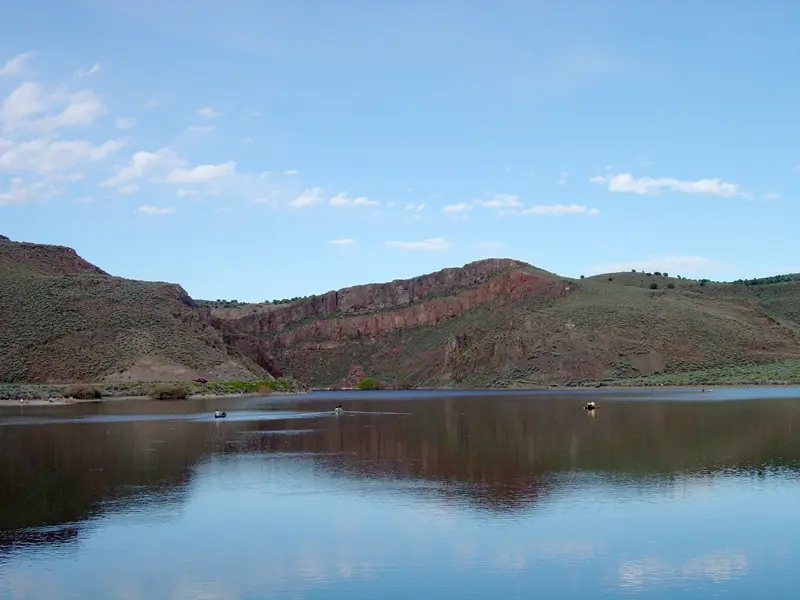
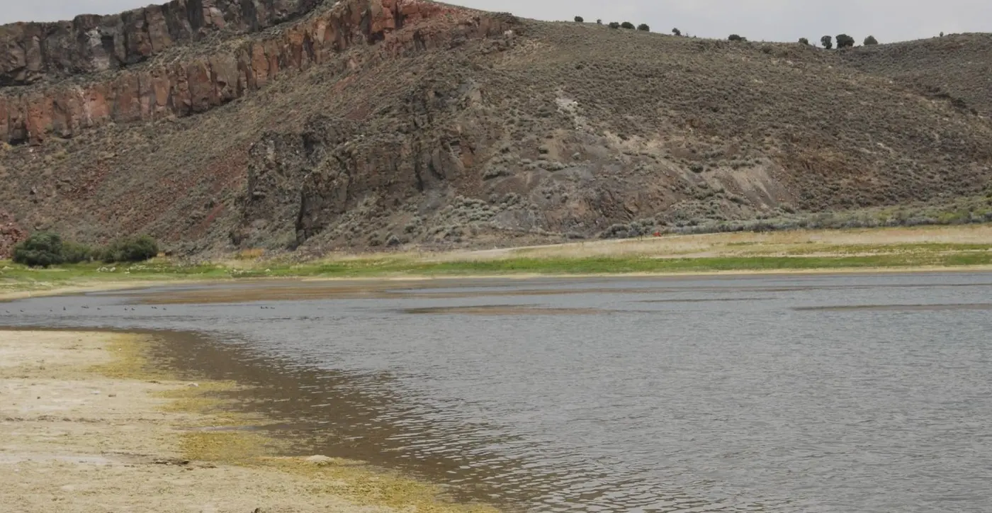
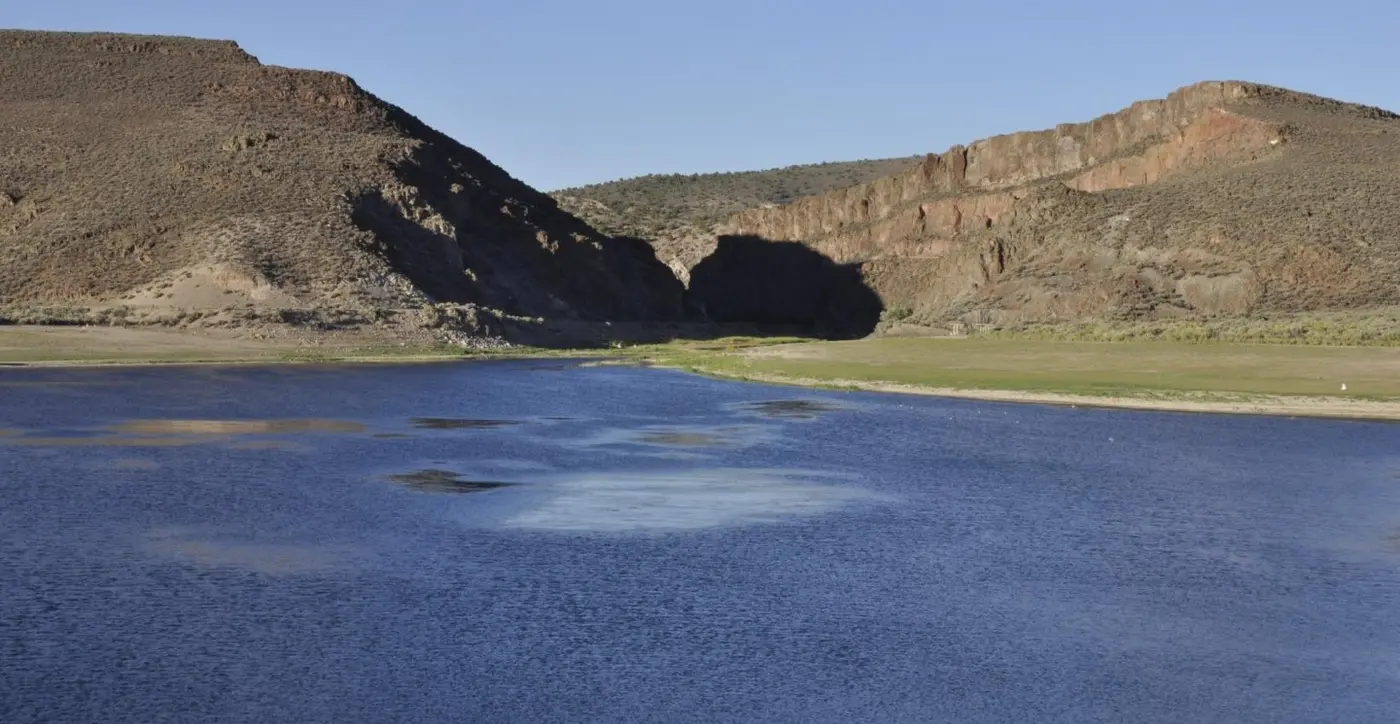
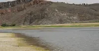
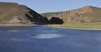
From the dam at Echo Canyon the view runs two ways. Upstream is a 65-acre reservoir under dark canyon walls. Downstream, in the fields of Dry Valley, alfalfa grows, which the Pioche Chamber of Commerce names as the valley’s primary crop. The park lies twelve miles east of Pioche by State Routes 322 and 323, and about twelve miles from the Utah line. It covers 1,800 acres between 5,200 and 5,600 feet in elevation. Nevada State Parks runs it, and it is open every day of the year. Gas, groceries, and fishing licenses are bought in Pioche.
The reservoir under the basalt walls
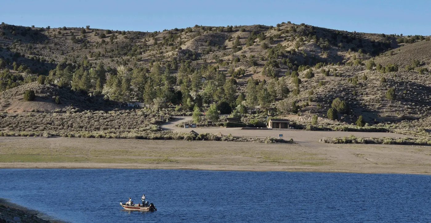
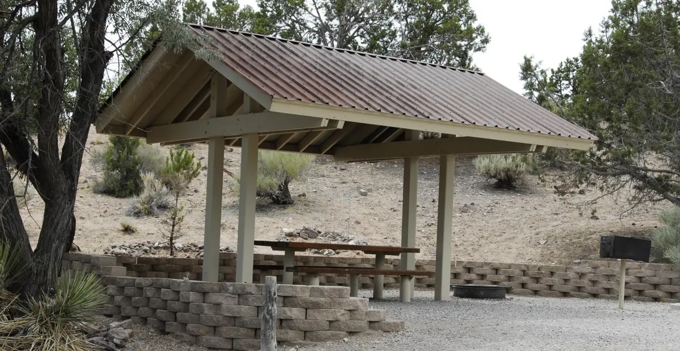
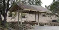
The Nevada Division of Wildlife stocks the reservoir with rainbow trout. Largemouth bass and crappie also live in it, and an angler may take an occasional German brown trout. The boat ramp is on the north shore. When the water drops in summer, boats go in from the shore. Six picnic sites with tables and barbecue grills are spaced along the water’s edge.
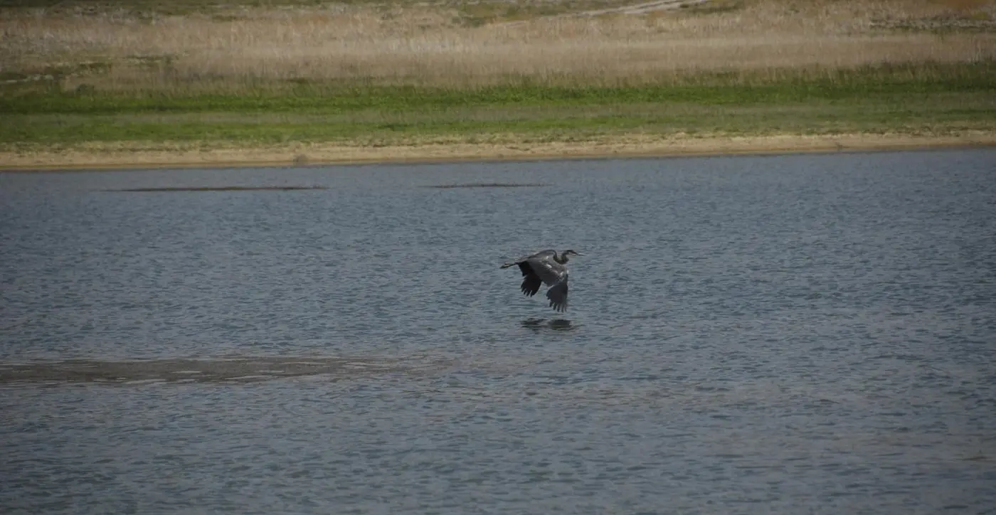
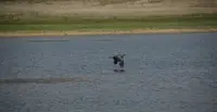
Mallards, teals, herons, and avocets work the shallows. The trumpeter swan comes infrequently. Eagles, hawks, owls, ravens, roadrunners, hummingbirds, songbirds, and vultures keep to the canyons and valleys. Deer come down to the lake to drink in the early morning. Cottontails, jackrabbits, squirrels, skunks, coyotes, and now and then a bobcat share the ground with several kinds of lizards and snakes.
The native trees are single-leaf pinyon pine and Utah juniper. Ash, Russian olive, and ponderosa pine were planted for shade. Along the canyon stream grow cottonwoods, willows, cattails, watercress, and duckweed. Sagebrush and rabbit brush cover the hillsides, with cactus and narrow-leaf yucca among them, and wild currant grows in the backcountry canyons.
Campgrounds and the Ash Canyon trail
The North Campground, near the reservoir, has 33 sites. Travel Nevada calls it the lower campground and lists a gazebo, a grill, and a drinking-water pump at each site. Sites not reserved on the day of arrival go first come, first served. A separate RV campground of 20 full hook-up sites sits on a hill overlooking Dry Valley. Flush toilets and a dump station serve both, and the limit is 14 days in any 30. The group picnic area holds up to 70 people under shade ramadas. Travel Nevada also lists an outdoor theater. Park staff and the kiosks post program schedules. Fires are allowed only in the rings and grills provided, and gathering firewood is prohibited. On the state’s list of parks under fire restrictions, updated October 1, 2026, Echo Canyon does not appear. Quiet hours run from 10 p.m. to 7 a.m.
The Ash Canyon trail starts in the upper campground and runs 2.5 miles into the backcountry. State Parks says it climbs 300 feet in a third of a mile to the valley rim. The Chamber’s description gives the same climb as eight hundred feet. From the rim the path descends between the steep walls of Ash Canyon, meets the highway in Rose Valley near the eastern park entrance, and returns to camp by the paved road through Echo Canyon. The Chamber notes a brochure keyed to numbered posts along the route.
Lava, ash, and an old lake
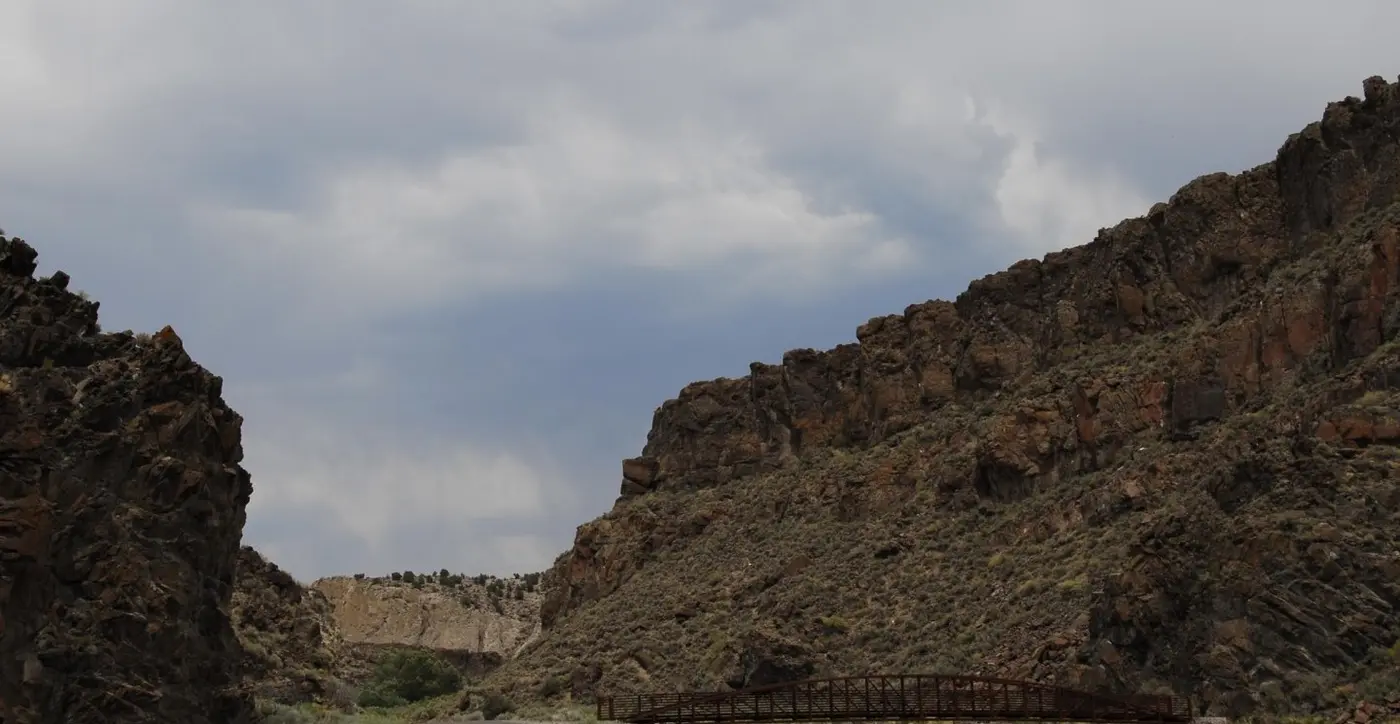
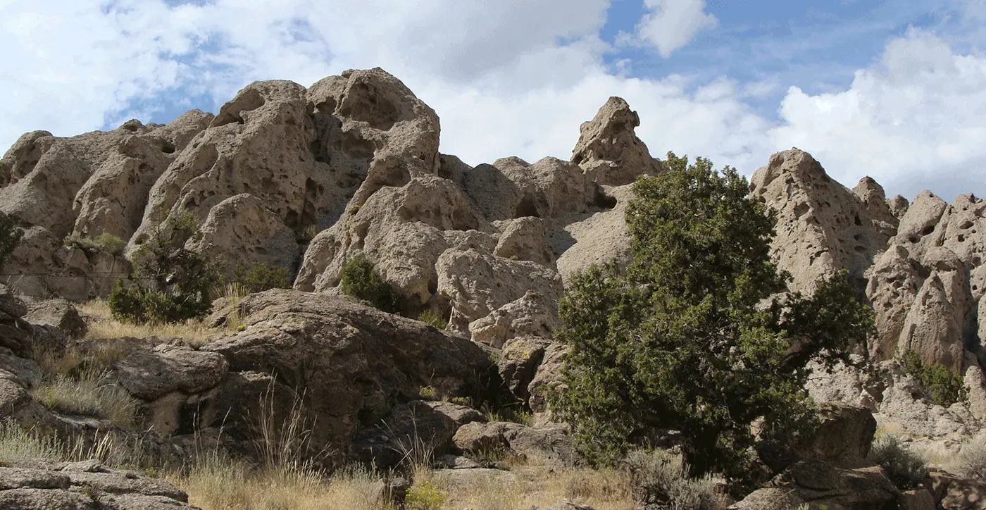
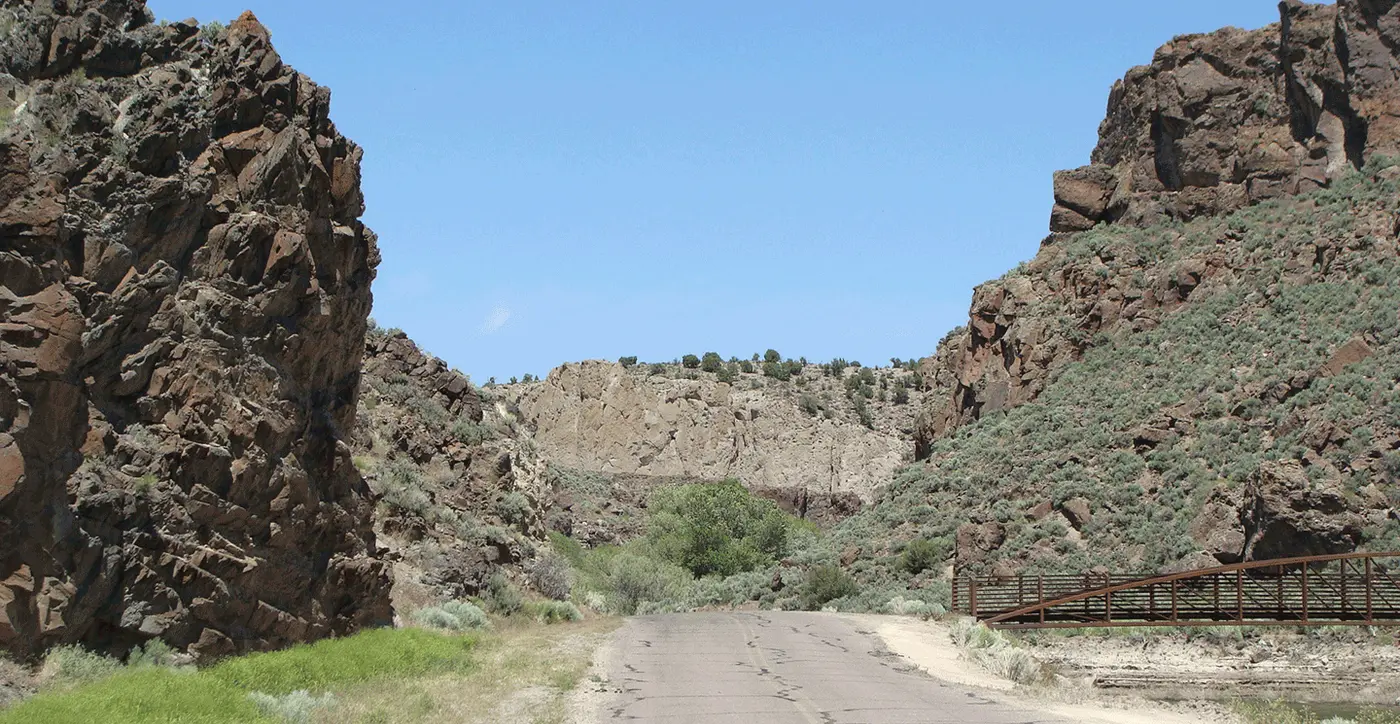
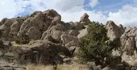
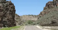
The rock tells the oldest part of the story. Volcanic activity 45 to 125 million years ago formed many of the outcrops in the park. The cliff walls of Echo Canyon are tertiary basaltic lava flows, and the badlands north of the reservoir are volcanic ash-flow tuffs. Alluvial gravel and pinkish clay came later, laid down by a vast lake that covered the area about a million years ago. As that lake dried, veins of chalcedony, called desert rose, were exposed, and the stone is abundant here. Disturbing rock, plants, or artifacts in the park is prohibited.
The canyon sits at the head of Dry Valley, one of a chain of valleys along Meadow Valley Wash. The wash empties into the Muddy River near Moapa and reaches Lake Mead near Overton. That puts the park in the Colorado River watershed, though its plants and animals are those of the Great Basin desert and its streamsides. State Parks gives summer temperatures as 85˚F at midday and 54˚F at night. The Chamber gives the summer night low as 45˚F. Winter days run about 40˚F and nights fall to the low teens. Summer brings thunderstorms and winter brings snow.
Fremont pottery and a camp called Moodyville
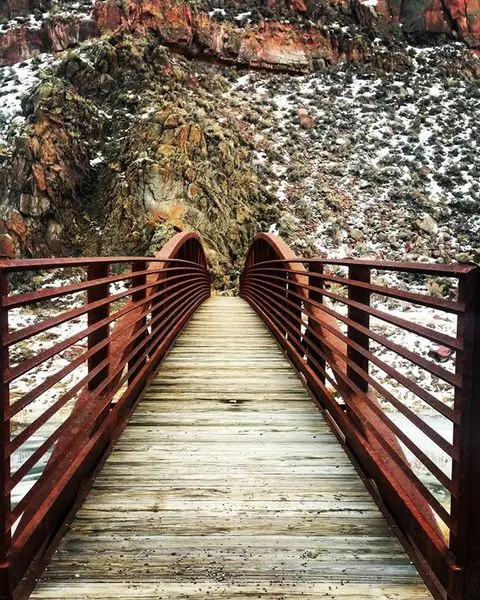
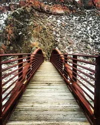
People were here long before the dam. Archeologists cited by the Chamber believe the area was occupied as long ago as 5,500 BC. No permanent dwellings have been found, so it appears to have served only for seasonal hunting and gathering camps. State Parks credits pictographs, stone flakes, and pottery about a thousand years old to the Fremont. In its account they probably moved to a more temperate climate for the winter months. One pot found near the steel bridge has been identified as Snake Valley pottery, a thin-walled grayware. State Parks says it confirms the Fremont were present from around 900 to 1100 C.E. Travel Nevada places the Fremont in the wider region from about 700 to 1300 AD. The pot is now on display in the visitor center at Cathedral Gorge State Park in Panaca. The Chamber adds that a few artifacts and petroglyphs around the park point to later Shoshone groups, including the modern Southern Paiute.
Mormon pioneers came next. State Parks writes that the church was called to settle Lincoln County in early 1860 and sent pioneers to open a trade route for settlers and supplies. The Chamber dates their settlement in this part of eastern Nevada to around 1864. In its account, local Paiutes showed the settlers silver ores, and the Paiute word for the rock, “Panaker,” became the name of the town of Panaca.
Silver brought a small smelter and mill to Dry Valley, not far from Echo Canyon. The Chamber says they were built in the late 1860s and that the tent camp around them, called Moodyville, counted sixty people in 1872. State Parks says only that a small group worked the smelter and mill in 1873. Both agree that a severe windstorm destroyed the camp in 1873 and that nothing of it remains. Farmers and ranchers had settled Dry Valley permanently by the late 1870s.
A county dam for Dry Valley
Those farms led to the reservoir. In 1969–70 Lincoln County built Echo Dam for water storage and flood control. State Parks and the Chamber both list water-based recreation as a side benefit. The Chamber names agriculture as the reason for construction. Travel Nevada says the dam was built in 1970 to irrigate the valley’s crops. Once the campground and group area were finished, the Division of State Parks took over operations in 1970.
Notable Events
- 1100A pot found near the steel bridge has been identified as Snake Valley pottery and confirms the presence of Fremont in the area from around 900 to 1100 C.E. parks.nv.gov
- 1300The first people to live in this region were the Fremont people, who moved around the American West with the seasons from about 700 to 1300 AD; no permanent housing structures have been discovered, which suggests they only lived here seasonally. travelnevada.com
- 1860Called to settle Lincoln County in early 1860, the Mormon Church sent pioneers to Lincoln County to establish a trade route for settlers and supplies. parks.nv.gov
- 1860sIn the late 1860's a smaller smelter and mill were built in Dry Valley, not far from Echo Canyon. piochenevada.com
- 1864Mormon pioneers settled in this part of Eastern Nevada around 1864. piochenevada.com
- 1870sThe first permanent settlers in this area were farmers and ranchers who came to Dry Valley in the late 1870s. parks.nv.gov
- 1872The small tent camp was called Moodyville and boasted a population of sixty in 1872. piochenevada.com
- 1873In 1873 a small group of people worked a small smelter and mill in what was then called Moodyville, fairly close to what is now Echo Canyon State Park. parks.nv.gov
- 1873In 1873 a severe wind storm destroyed the camp and nothing remains of the site. parks.nv.gov
- 1969Dam built for water storage and flood control; recreation was a side benefit. parks.nv.gov
- 1970State Parks assumed operation after the campground and group-use area were completed. parks.nv.gov
- Archeologists believe this area was occupied as long ago as 5,500 BC; without evidence of permanent dwellings, it appears the area served only for seasonal hunting and gathering camps. piochenevada.com
Sources
- parks.nv.gov/parks/echo-canyon
- parks.nv.gov/news/stage-one-fire-restrictions-in-place
- parks.nv.gov/learn/park-histories/echo-canyon-history
- parks.nv.gov/learn/natural-resources-climate/natural-resources-and-climate-of-echo-canyon-state-park
- piochenevada.com/things-to-do/echo-canyon-state-park
- travelnevada.com/parks-recreational-areas/echo-canyon-state-park