East Fork Cabin
Sula, Ravalli County, Montana. Rustic, historic one-room cabin; year-round.
Details

- Where
- Sula, Ravalli County, MT. No street address stated. Directions
- When
- Check In 2pm, Check Out Noon.
- Getting there
- From Sula, travel northwest on Highway 93 for just under one mile. Turn right onto East Fork Road (County Road 472) and continue approximately 16 miles to the cabin.
- Fees
- $50 per night.
- Access
- The road is typically plowed in the winter time but please contact the Darby-Sula Ranger Station for road conditions.
- Walk-in or reserve
- Call the Darby/Sula Ranger Station at (406) 821-3913 for the current combination for the lock on the door, a week in advance of your arrival.
- Phone
- 406-821-3913
- Managed by
- Bitterroot National Forest.
- Established
- Built prior to 1914 and restored in 1987.
- Coordinates
- 45.92305556, -113.7263889.
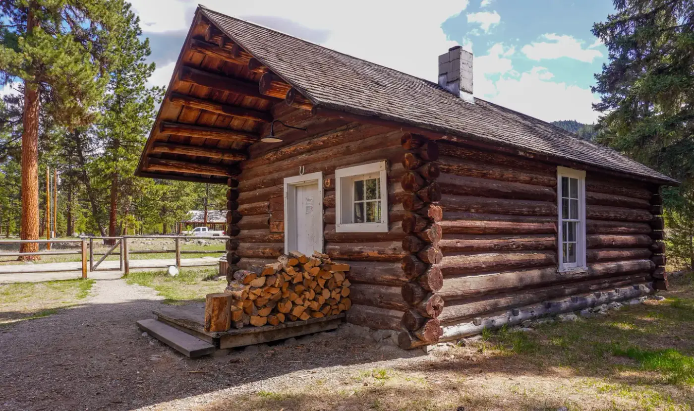
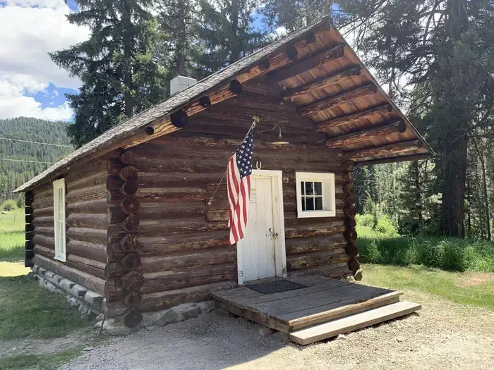
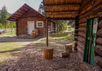
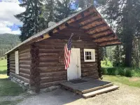
The East Fork Guard Station Cabin stands on the East Fork of the Bitterroot River, about 16 miles up East Fork Road (County Road 472) from a turn just under a mile northwest of Sula on Highway 93. Visit Montana gives the distance as 15 miles. It is a single log room, 16 by 24 feet by Visit Montana’s measure. The door stays locked; the Darby-Sula Ranger Station gives out the combination a week before arrival.
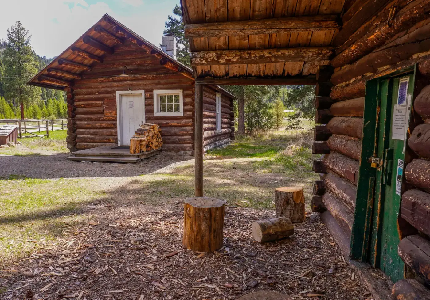
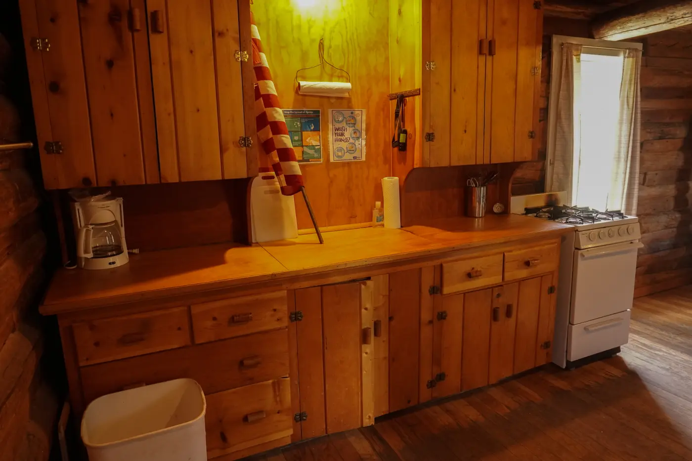
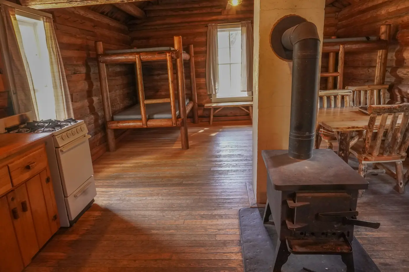
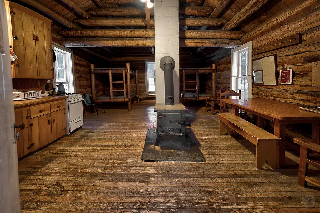
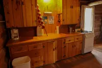
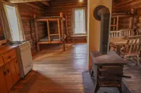
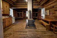
Inside are two bunk beds with mattress pads that sleep up to eight, a table with chairs and benches, a counter with cupboards, and a propane range with an oven. Electric lights hang from the ceiling, and there is one outlet. A wood stove heats the room. Its firewood comes from the woodshed, though guests may have to split the logs, and Visit Montana lists an axe among the furnishings, along with a Coleman cooler for keeping food cold. Pots, pans, plates, and utensils are on hand. Guests bring their own bedding, towels, soap, and garbage bags. Before leaving, each party fills the wood box, restocks the cut wood, and sweeps out the cabin. Drinking water comes from a pump house nearby, and a vault toilet stands next to the cabin.
Pavilion, corral, and fire pit
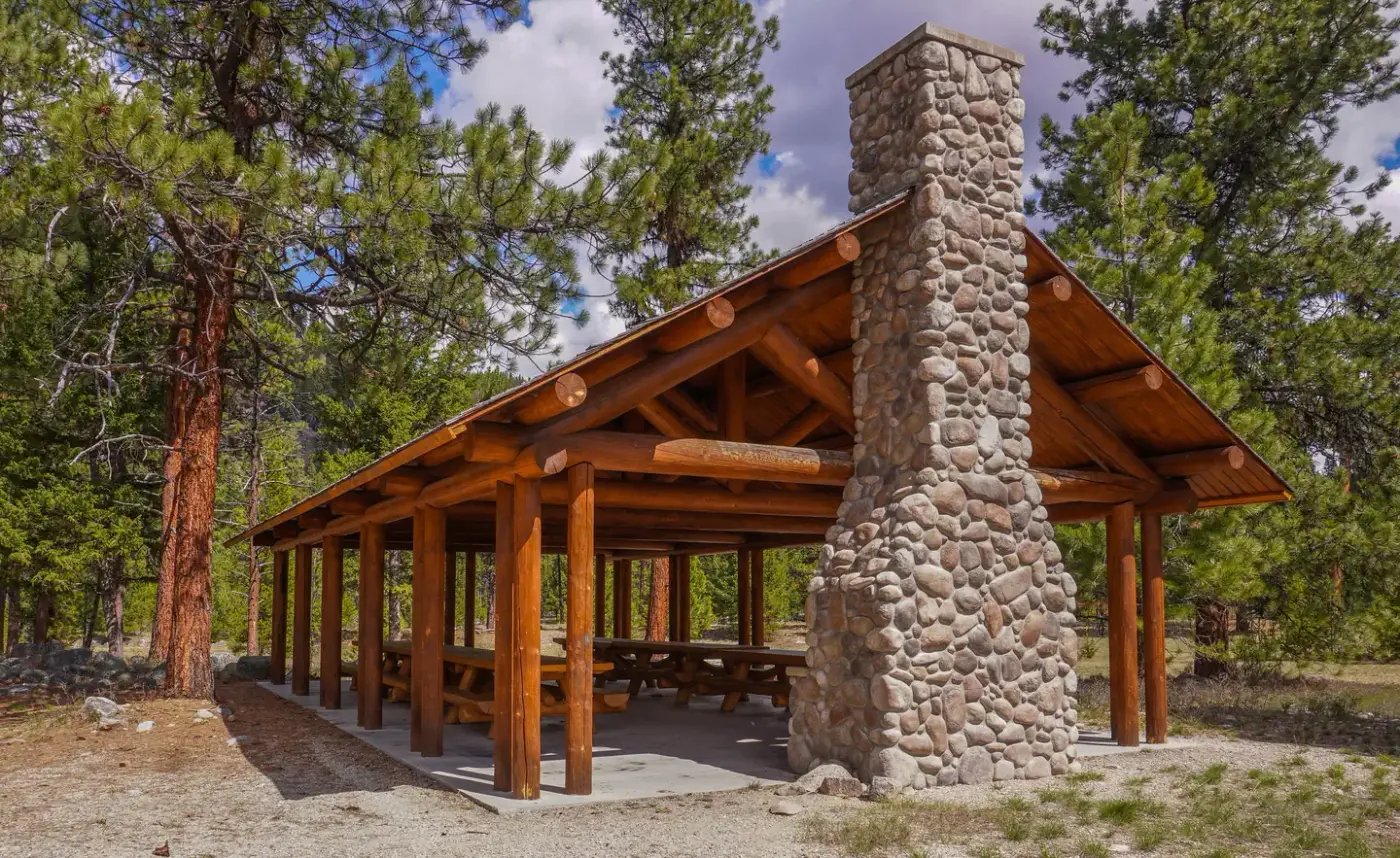
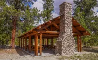
Outside, a fire ring with benches sits between the cabin and the river. Wood for that fire is the guest’s own to bring, since the woodshed supply is kept for the stove. Past the picnic table is a large log pavilion with more tables, a fireplace, pedestal grills for charcoal, and an outlet on a power pole. A corral and pasture take stock, after a check of the fence line, and only certified weed-free hay is allowed. The cabin holds eight, but RV and tent camping in designated areas brings the limit for the whole site to 35.
The East Fork and the Anacondas
The river rises in the Anaconda-Pintler Wilderness and runs west to a point just south of Conner, where it meets the West Fork and becomes the Bitterroot River. Its upper reach winds through forested mountains and its lower reach through cottonwood bottomlands. In spring runoff the water turns fast and fills with snags. The Forest Service puts the cabin at about 4,500 feet; Recreation.gov says about 5,200.
Brown, rainbow, cutthroat, and brook trout are caught mostly between Sula and Conner. The river closes to trout fishing in winter, and whitefish fishing carries on through the cold months. By Recreation.gov’s account, the catch on the East Fork is split fairly evenly among bait, spin, and fly fishermen. Elk, deer, moose, mountain lions, and bears range through the surrounding Anaconda Range. East Fork Trail No. 433 leaves from a trailhead nearby, and the hills and valleys draw hikers, backpackers, and riders in summer and fall. In winter, cross-country skiers, snowshoers, and snowmobilers use more than 50 miles of groomed trail and a number of unmarked ones.
Winter on County Road 472
The sources do not agree about the last stretch of road from October through April. The Forest Service says the road is typically plowed in winter and recommends four-wheel drive or high clearance. Recreation.gov says the road is usually plowed to the cabin but not always, so guests may have to park at the gate and walk about 600 feet. It suggests a small plastic sled for hauling gear. Elsewhere the same listing says the road is plowed to within three-quarters of a mile of the cabin. Visit Montana says the last 0.75 mile goes unplowed and is reached by ski, snowshoe, or snowmobile. The ranger station gives road conditions along with the door combination.
Fire watchers and homesteaders
The cabin was built as a guard station for the men who watched the forest for fire. The Forest Service and Recreation.gov say it was built before 1914. The Sula Ranger District page gives the year as 1914. It was restored in 1987 and named for the river it stands beside. Visit Montana lists it as a Registered Historic Site.
The Forest Service’s place-name history of the Bitterroot records the people who settled around it. William McCart settled near the guard station but never carried his homestead entry through to patent. McCart Lookout, on the peak east of Sula, carries his name and has been restored to its 1940s appearance. Martin Johnson settled on the East Fork and homesteaded H.E.S. 55 in 1903, and Johnson Peak and Martin Creek are named for him. Joseph J. Tiesfentholder homesteaded above the guard station and still owned the place when the history was compiled. He supplied its recollections of a trapper called Seven Dog or Eleven Dog Johnson, who lived at the upper end of the East Fork. The history also preserves a neighbor’s account of that trapper, in the words of Mrs. Jake Wetzsteon: “He was quite a trapper. At one time he caught two mountain goat alive and they were sent to Columbia Gardens at Butte.”
Notable Events
- 1914The Sula Ranger District page states that the East Fork Guard Station was built in 1914. fs.usda.gov
- 1987The guard station cabin, built before 1914, was restored in 1987. recreation.gov
People
- Joseph J. Tiesfentholder, homesteaded above the East Fork Guard Station and still owned that homestead when the Forest Service place-name history was written; he was the source of the Eleven Dog Johnson recollections (1966).
- Martin Johnson, settled in the East Fork and homesteaded H.E.S. 55 in 1903; Johnson Peak and Martin Creek take his name (1903).
- William McCart, settled near the East Fork Guard Station and did not complete his homestead entry to patent; the nearby McCart Lookout is named after him.
Sources
- recreation.gov/api/camps/campgrounds/234278
- fs.usda.gov/r01/bitterroot/recreation/east-fork-cabin
- fs.usda.gov/r01/bitterroot/recreation/sula-ranger-district
- fs.usda.gov/sites/nfs/files/r01/bitterroot/publication/Place%20Names%20of%20the%20Bitterroot%20National%20Forest_0.pdf
- visitmt.com/listing/east-fork-guard-station-6277
- recreation.gov/camping/campgrounds/234278