Dugway Geode Beds
Juab County, Utah. Rockhounding hotspot.
Details
- Where
- Juab County, UT. No street address stated. Directions
- Getting there
- From Salt Lake City take I-80 westbound to the Tooele turnoff (exit 99). South on Highway 36 about 40.5 miles to the Pony Express Road (dirt road just past Faust). West (right) 50.1 miles on the Pony Express Road to the Dugway geode bed turnoff; north (right) up the dirt road and look for recent diggings.
- Fees
- Free to the public to collect.
- Access
- High-clearance vehicles are recommended. Check weather conditions before you go.
- Walk-in or reserve
- Permits and permissions are not required.
- Phone
- (435) 743-3100
- Managed by
- Bureau of Land Management (BLM) public lands; BLM Fillmore Field Office.
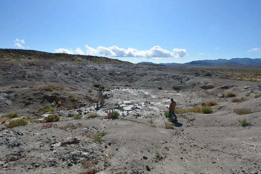
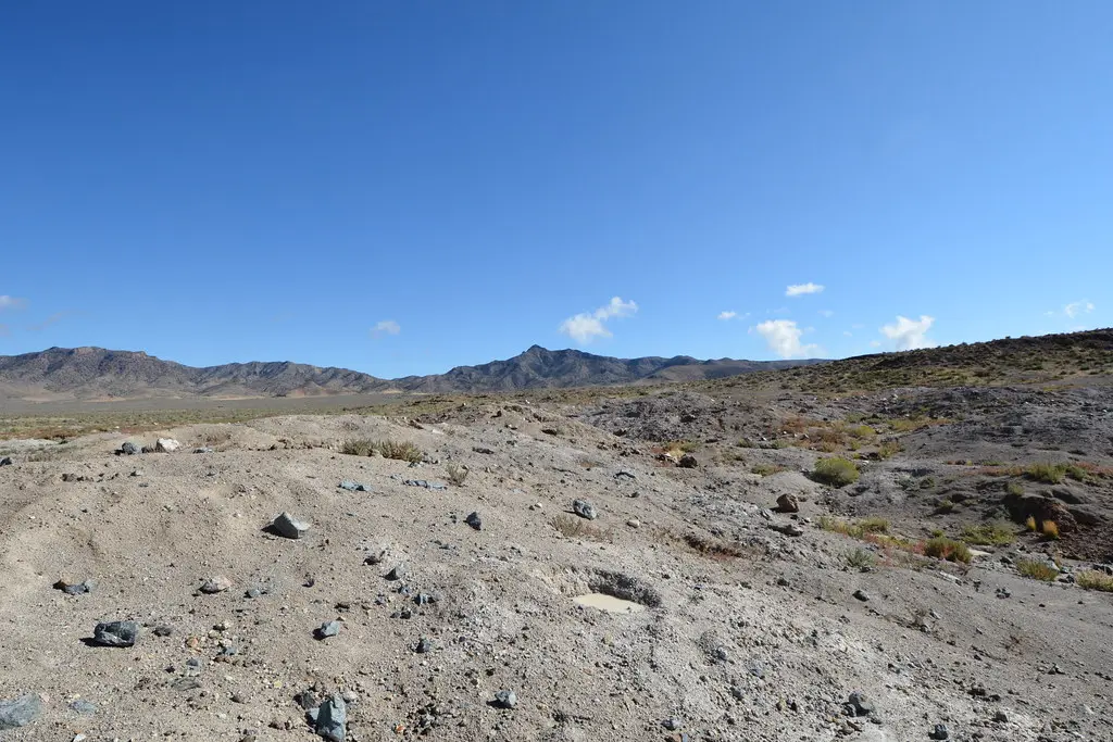
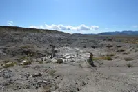
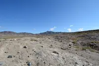
At the Dugway Geode Beds the ground has already been dug over many times, and that is where to start. The Bureau of Land Management, through its Fillmore Field Office, keeps two main excavation pits here, marked by signs on the drive in. Collecting is not confined to them. The Deseret News reported in 2011 that the biggest excavations covered hundreds of square feet, with small geodes and broken pieces of larger ones lying on the surface and unbroken specimens waiting below. The BLM advises looking in areas that have been previously excavated and digging into the mostly soft, gray, unconsolidated material that underlies the beds. That soft material can collapse at any time. Tunneling is unsafe and not permitted.
Pits in the gray ground
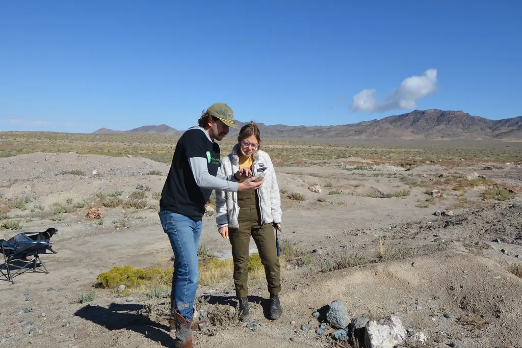
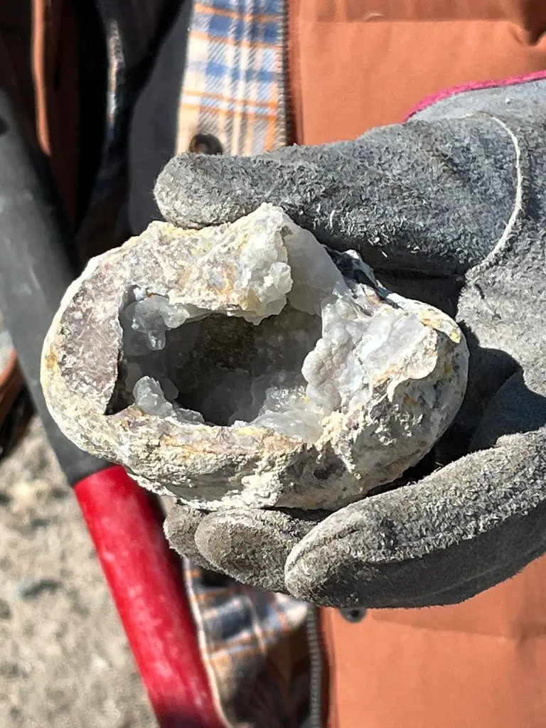
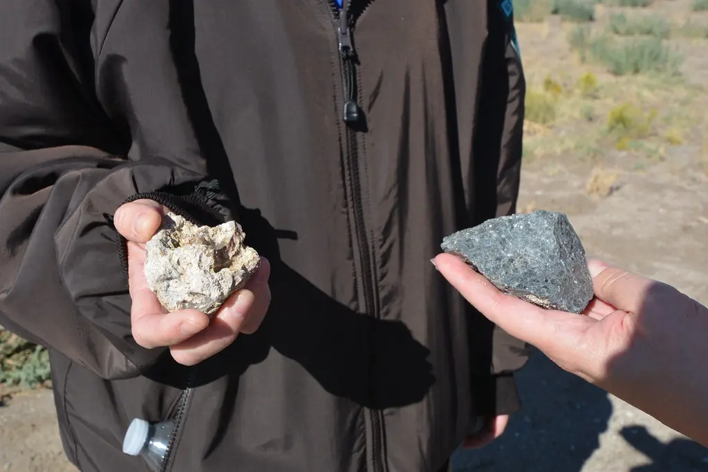
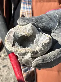
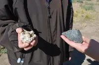
By the BLM’s description, a Dugway geode is dark gray, hard, and spherical, 2 to 4 inches across. The Deseret News put most of them at fist-size or smaller and said much bigger ones turn up. Some lie in harder material, where the BLM says to look for rounded shapes and to bring a pick and hammer to free them. Inside, the most common mineral is quartz in clear (rock crystal), purple (amethyst), and pink (rose). The newspaper found the crystals usually white or clear. It also judged that geodes have no real value except as pretty rocks, and that they can be quite beautiful when cut and polished.
The BLM lists four ways to open one. A geode can go into a cloth sack and be smashed on a hard surface, though it may break into many small pieces. A hammer and chisel or center punch leaves a rough, uneven edge. A rock saw, or most tools with a carbide-tipped blade, makes a clean cut that suits polishing. A soil pipe cutter closes a bladed chain around the stone as if it were pipe, and such tools can sometimes be rented from home improvement stores. For breaking geodes at the site, the Deseret News recommended a hefty hammer and safety goggles.
Collecting is free, and no permit or permission is required. BLM regulations generally allow the public to take reasonable amounts of rocks and mineral specimens for noncommercial use, meaning nothing gathered here is to be sold. The 2011 article noted active mining claims in the geode areas and asked diggers to move along politely if a claim owner requests it.
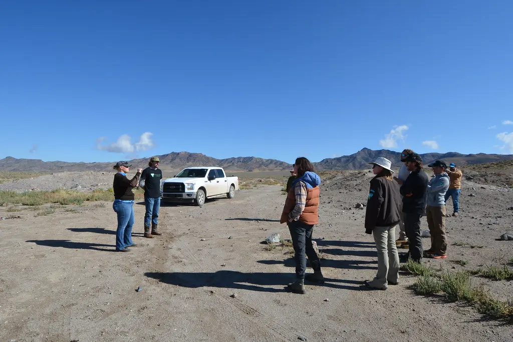
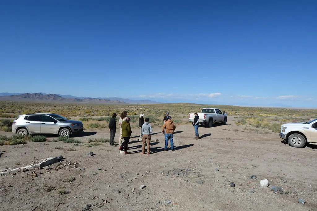
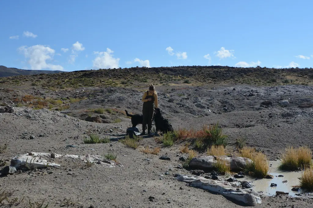
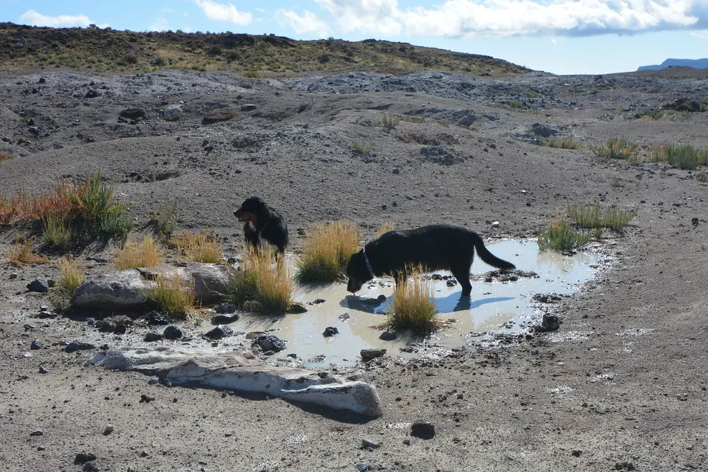
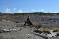
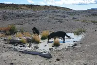
BLM Utah keeps a photograph album of the beds. Its captions include “Safety briefing before digging,” “Its a family outing,” “Dogs like rocks too!,” “Almost lunch time!,” “Leave No Trace - Pickup trash!,” and “Dirt parking and camping area.” Around the pits, the Deseret News described sage flats and rocky outcrops between juniper-covered hills, with antelope, deer, wild horses, coyotes, and common lizards and snakes.
Fifty miles of the Pony Express Road
The beds lie at the end of the old Pony Express Road. From Salt Lake City the route runs west on I-80 to exit 99, then south on State Highway 36 toward Tooele. The BLM puts the turn at the Faust Pony Express Station after 33 miles, and the Utah Geological Survey puts it about 40.5 miles down the highway. From there it is roughly 50 miles west on the Pony Express Trail, also called the Simpson Springs road, to a signed turnoff on the right. An unimproved road runs about 2 miles more to the beds. The Deseret News reported digging visible almost immediately after the turnoff, with the best locations one to two miles in.
The sources differ on the road itself. The Deseret News in 2011 called the last 40 miles or so of gravel well maintained and passable by passenger car, while warning of exposed rocks and ruts on the dirt tracks among the beds. The Utah Geological Survey recommends high-clearance vehicles and advises checking the weather before setting out. The newspaper put the drive at about three hours, or about 100 miles west of Lehi, and noted that there are no gas stations or convenience stores along the way. About 25 miles short of the beds the road passes Simpson Springs, a restored Pony Express station with an improved campground, restrooms, and seasonal water. At the beds there are no improved campsites or facilities of any kind, and camping on the surrounding BLM land is allowed.
Gas bubbles and an old lake
In 2011, BLM geologist Larry Garahana told the Deseret News that “the west part of Utah is very mineralized and so there’s lots of stuff that can be found out here.” Holding up a Dugway geode, he said: “These were a gas bubble in a volcanic rock.” Ron Emmett, a rockhound, reported finding garnet, topaz, and geodes in the area, with the geodes coming from the Dugway beds in the north end of Juab County. Cherri Emmett described cracking them open: “It’s like opening Christmas presents because you don’t know what you’re going to find when you open it up and see what’s inside.”
The Utah Geological Survey supplies the rest of the account. Approximately 6 to 8 million years ago, in the Miocene epoch, volcanic activity in western Utah laid down an extrusive igneous rock called rhyolite. Gases trapped in it formed cavities, and circulating groundwater lined those cavities with quartz crystals in spherical shapes. Roughly 32,000 to 14,000 years ago Lake Bonneville covered most of western Utah. Its waves eroded the geode-bearing rhyolite and carried the geodes several miles away, where they settled as sediment in the gray ground of the Dugway beds.
Notable Events
- Volcanic activity in western Utah deposited rhyolite. geology.utah.gov
- Lake Bonneville covered most of western Utah. geology.utah.gov
People
- Cherri Emmett, Described the surprise of opening the geodes in the newspaper’s Dugway account.
- Larry Garahana, BLM geologist explaining West Desert minerals and geode gas bubbles.
- Ron Emmett, Rockhound reporting finds of garnet, topaz and geodes in the area; the geodes are located at Dugway.