Douglas Creek (BLM), Douglas County, WA
Wenatchee, Douglas County, Washington. Hike.
Details

- Where
- Wenatchee Field Office, 915 N. Walla Walla, Wenatchee, WA 98801. Directions
- Getting there
- From SR 28 about 14 miles south of Wenatchee, take Palisades Road up Moses Coulee; turn left onto Wagon Road, bear left at a Y, then left onto unpaved Douglas Creek Road, fording unbridged Douglas Creek; the road climbs steeply to a ridge-top parking area with a BLM signboard.
- Fees
- None.
- Access
- No toilet at trailhead.
- Phone
- 509-536-1200
- Website
- wta.org
- Managed by
- Spokane District Office.
- Coordinates
- 47.4614, -119.8726.
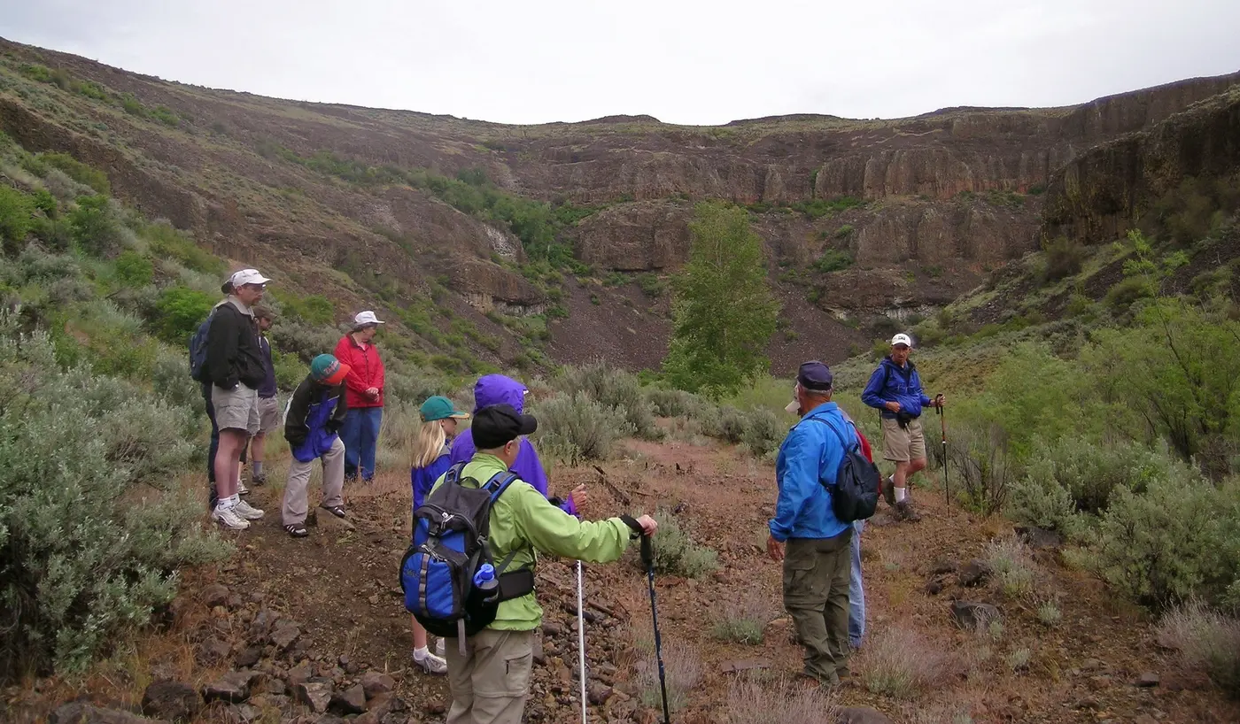
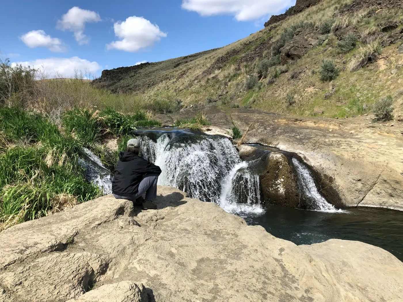
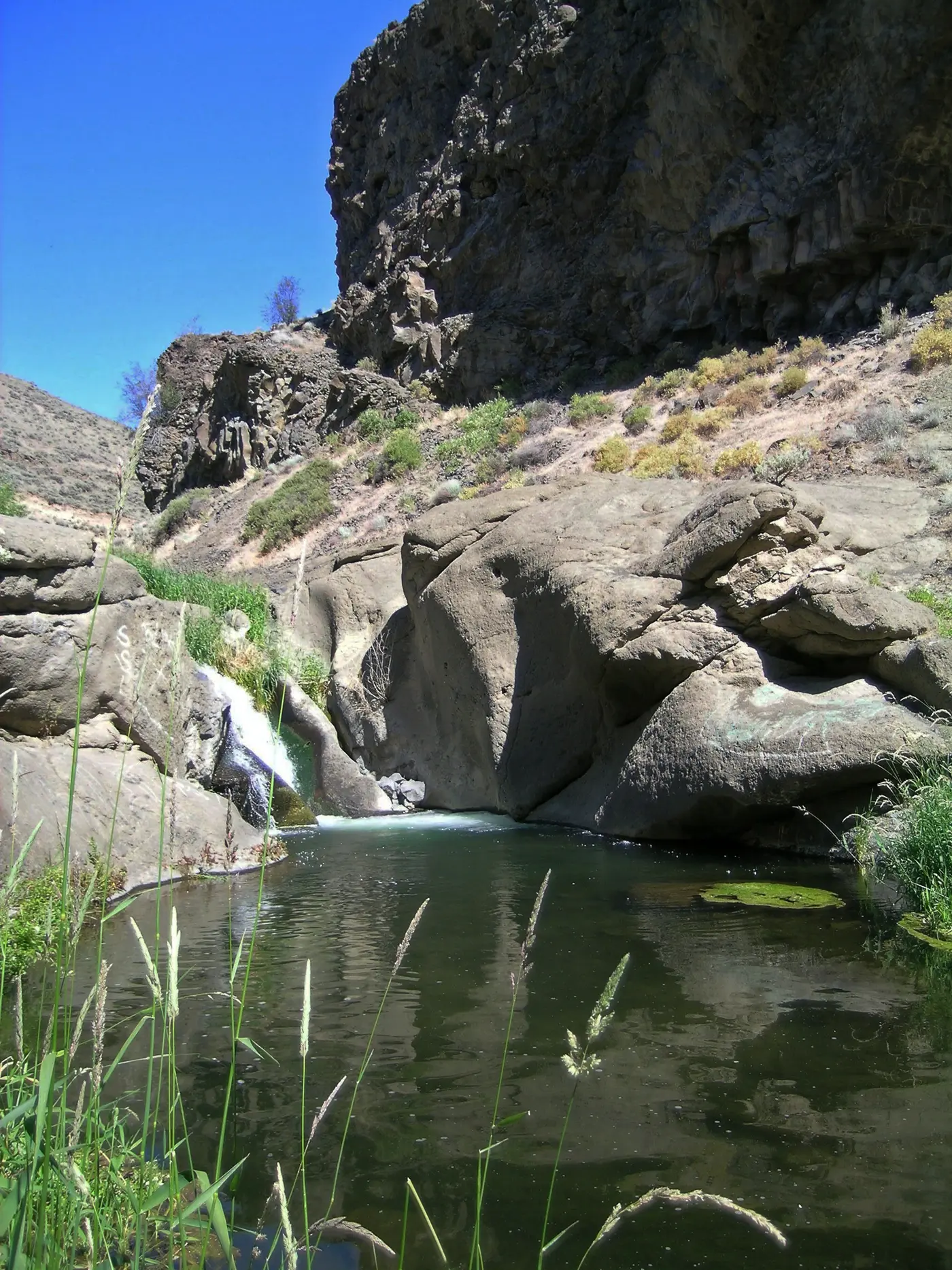
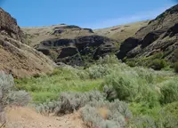
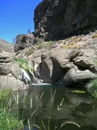
The south end of Douglas Creek is reached by a road the Washington Trails Association calls “a bit of an adventure in itself.” The route leaves SR 28 about 14 miles south of Wenatchee and runs some 14 miles up Moses Coulee on paved Palisades Road. Wagon Road and then unpaved Douglas Creek Road follow. That road fords the unbridged creek about a quarter mile in, then climbs steeply for about a mile and a half to a ridge-top parking area with a Bureau of Land Management signboard. From the ridge a rough jeep road drops to the water. A couple of waterfalls lie within easy reach upstream and down, with deep pools where people swim and wade. “If you don’t think too hard about what’s in the agricultural runoff from the Waterville Plateau, you can take a dip and splash around in the waterfalls,” wrote Chris Burke, the association’s correspondent. The walk to the falls and back, with some poking around, comes to barely a mile. There is no toilet at the trailhead.
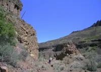
North of the parking area an old railroad grade crosses the creek and heads up the canyon. Walkers willing to get their feet wet, there and at a few more crossings, can follow it about 3 miles to the Douglas Creek Canyon North trailhead. The road keeps to the canyon floor, sometimes on the grade itself, and passes camping places beside the creek. RVs sometimes reach them from the north. That end is entered from Highway 2: 8 miles east past Waterville, a right onto “H” Road, and 7 miles of gravel down into the canyon. The BLM allows primitive dispersed camping along the road, with no developed facilities and a 14-day stay limit. It lists hunting, fishing, hiking, and wildlife viewing among the canyon’s uses.
Cottonwoods in the sage-steppe
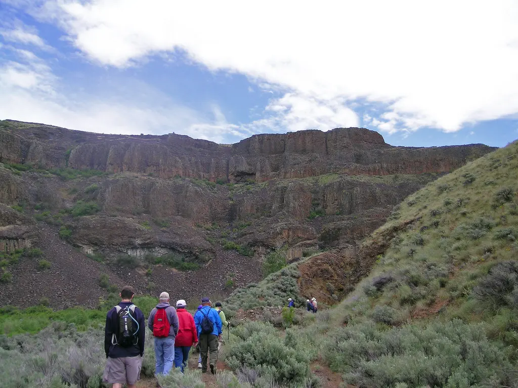
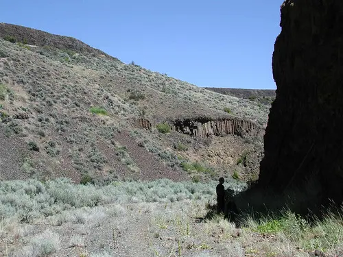
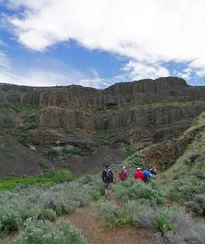
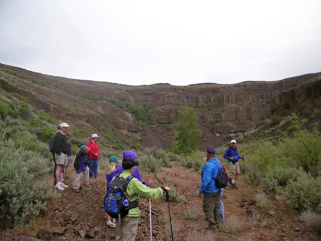
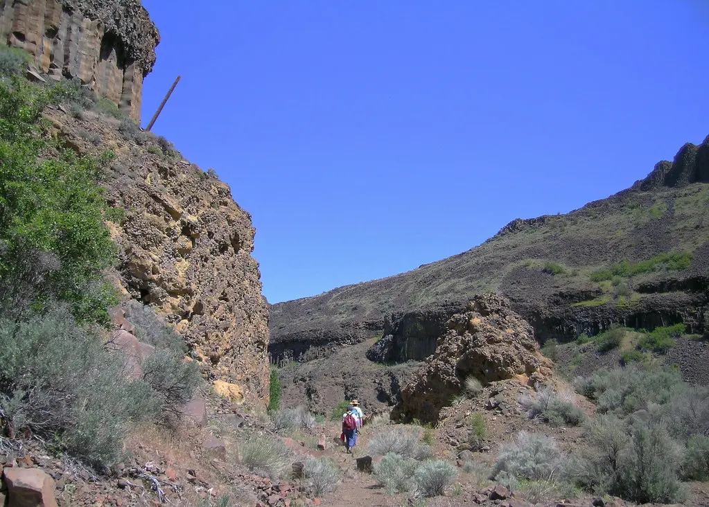
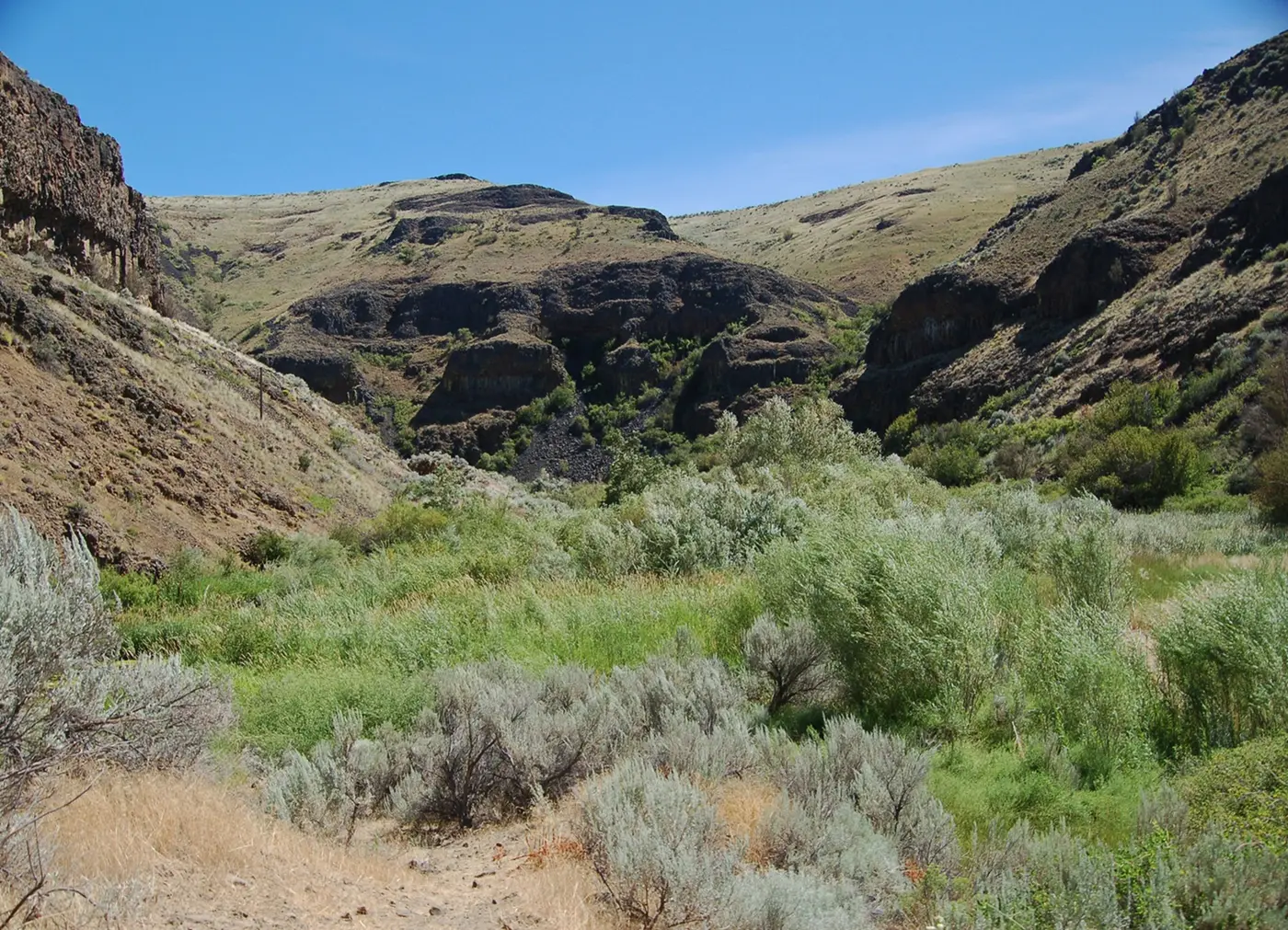
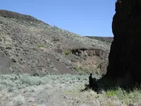
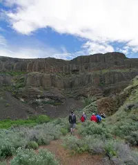
The canyon lies in the dry sage-steppe uplands of Eastern Washington, and the creek runs all year. Along it, the BLM writes, songbirds and raptors perch in cottonwoods, and the road passes beaver ponds and cascading pools. Nick Engelfried, writing for Columbia Insight in July 2024, saw more. Orange and yellow lichens crusted the basalt walls, and sagebrush clung to the lower slopes. Cottonwoods and willows made a green corridor along the creek, with goldfinches singing from the treetops and turkey vultures soaring over the cliffs. He also found invasive cheat grass on many of the gentler slopes. Barbed-wire fences on both sides of the creek marked land that is or was grazed. The Nature Conservancy’s Beezley Hills and Moses Coulee Preserves lie nearby, but the heart of the canyon is BLM land.
Columbia Insight says the creek carved the canyon over centuries. At the upper falls, arkosic sands and shales lie beneath the basalt. A 1949 state report on volcanic glass names the spot as the type locality of A. D. Hoffman’s Douglas Canyon formation. Hoffman considered the formation late Miocene and correlative with the Latah and Ellensburg formations. A 2024 study in the Geological Society of America Bulletin examined the Pleistocene outburst floods from glacial Lake Missoula that carved Moses Coulee. It used Douglas Creek, a large tributary the floods did not erode, to test its method of reconstructing the land as it stood before the water came.
Forty-nine trestles to Mansfield
The grade belonged to the Great Northern Railway’s Mansfield Branch. In 1908, HistoryLink records, civil engineer A. F. Whitcomb wrote to the railroad’s chief engineer, Albert H. Hogeland, that the line should reach a point near Mansfield. Otherwise, he advised, wheat growers would keep hauling their grain to Bridgeport and Coulee City. The survey was finished in September 1908. Track laying began in January 1909 at the Great Northern main line on the Columbia River near Wenatchee. Men from Cuba, China, Greece, Italy, Germany, and Ireland finished it on September 15, 1909, after nine months. The line cut through the southern Moses Coulee, snaked up Douglas Creek, and crossed the wheat fields of the Waterville Plateau. It ran 60.62 miles by the Douglas County Museum’s count and 60.58 by HistoryLink’s.
On October 9, 1909, a first passenger train ran to mark the completion: an engine, a caboose, and Hogeland’s private car, the Manitoba. Full operation began November 1, carrying grain to market. The museum gives the line’s name at completion that October as the Moses Coulee Branch, connecting Mansfield to Wenatchee. Trains stopped at Palisades, Alstown, Douglas, Supplee, Withrow, Touhey, and Mansfield to pick up 40-foot boxcars of grain. Great Northern’s records, the museum says, show 49 wooden trestles on the line, the most of any branch line in the United States. One wooden tunnel was built near the falls at Douglas Creek.
Waterville was left off the line because of extra costs, according to the museum. Local interests built their own spur, the Waterville Railroad, less than five miles long, which by 1910 was shipping through the Great Northern connection at Douglas.
High water on Douglas Creek
The creek did not leave the track alone. A Douglas County Historical Society photograph from 1923 shows an engine lying in Douglas Creek after a trestle collapse. Another shows it raised back to the tracks. The branch was rebuilt after the floods of 1938 and 1948. In June 1948, HistoryLink records, a series of cloudbursts beginning on the 16th sent the canyon creeks raging. The water washed out bridges and a mile of track along Douglas Creek, and the Waterville Railroad ran no more. The museum puts the 1948 repairs to the branch above $1,000,000.00, with several wooden trestles and track rebuilt to keep the train running.
Service thinned. Freight and passenger trains shared the rails until about the late 1940s, when declining sales ended passenger service. A newspaper story from December 1921 had already noted a cut from five runs a week to two or three. By the 1970s and 1980s trains ran on Sundays only. In 1970 the line passed to the newly formed Burlington Northern. By the early 1980s it was one of the last branch lines in the country still moving wheat in boxcars. Its 68-pound-per-yard rail could not carry the heavier covered hoppers, and trucks took more of the grain. The last train ran on March 2, 1985: two BN GP39-2 locomotives, numbers 2730 and 2738, with 40 boxcars and a caboose. The museum counts 76 years of service and HistoryLink 75. The rails came up in 1986.
The tunnel under the parking area
From the ridge-top parking area, the grade appears to end in a steep ravine cut into the hillside. This was the tunnel near the falls. The line ran through it and on down Moses Coulee to the Columbia. Years of neglect brought it down in 2000, and both ends were closed with thousands of cubic yards of soil. As of 2008, the museum says, the abandoned right-of-way was a hiking trail. The Wenatchee World reported on October 22, 2011, that David Jones stood poised on a rock jutting out over Douglas Creek. He worked a wire brush over a large swath of graffiti, one wrong move from falling into the water. Cars now park almost on top of the old bore, and near the lot a depression in the ground marks where the tunnel caved in.
Notable Events
- 1908Surveying for the new railway line was completed. historylink.org
- 1909Great Northern purchased a rail right-of-way and began laying track from its main line at the Columbia River near Wenatchee. historylink.org
- 1909The line went into full operation, transporting grain to market. historylink.org
- 1909The completion of the Mansfield Branch Line was celebrated by the first passenger train, including Albert H. Hogeland's private car Manitoba, an engine and a caboose. historylink.org
- 1909Men from Cuba, China, Greece, Italy, Germany and Ireland completed the track after just nine months. historylink.org
- 1921The railroad cut its schedule from five runs a week to two or three, as noted in a newspaper story. historylink.org
- 1923The caption records a trestle collapse at Douglas Creek and an engine raised to the tracks. wenatcheeworld.com
- 1938The branch line was rebuilt after the floods of 1938 and 1948. douglascountymuseum.com
- 1940sBoth freight and passenger service shared the rail until about the late 1940s; declining sales led to eventual removal of the passenger train. douglascountymuseum.com
- 1948Cloudbursts sent canyon creeks raging, washing out bridges and a mile of track along Douglas Creek. historylink.org
- 1970Great Northern ownership ended when the newly formed Burlington Northern Railroad received the line during the merger. douglascountymuseum.com
- 1970sTrain service eventually declined to Sunday only. douglascountymuseum.com
- 1985The last train ran on March 2, 1985, closing 76 years of granger railroading history in Douglas County. douglascountymuseum.com
- 1986The rails were dismantled. historylink.org
- 2000A wooden tunnel built near the falls at Douglas Creek collapsed from years of neglect in 2000, and both ends were closed with thousands of cubic yards of soil. douglascountymuseum.com
People
- A. D. Hoffman, His Douglas Canyon formation has its type locality at the upper falls of Douglas Creek; he considered it late Miocene in age.
- A. F. Whitcomb, Civil engineer who recommended extending the proposed railway line to a point near Mansfield (1908).
- Albert H. Hogeland, Great Northern's chief engineer, recipient of Whitcomb's proposed line-extension letter (1858-1930).
- David Jones, Worked a wire brush over graffiti on a rock jutting out over Douglas Creek.
Sources
- blm.gov/visit/douglas-creek
- wta.org/go-hiking/hikes/douglas-creek-canyon-south
- dnr.wa.gov/publications/ger_ri17_perlite_volcanic_glass.pdf
- lamb.caltech.edu/documents/34128/b36975.1.pdf
- cwu.edu/academics/geography/_documents/moses-coulee-field-trip.pdf
- historylink.org/File/21257
- historylink.org/file/9357
- wenatcheeworld.com/empirepress/great-northern-railway-s-rocky-history-in-douglas-county-blizzards-floods-rise-of-the-automobile/article_71a4f498-7832-458d-b819-d0b19a039388.html
- columbiainsight.org/as-private-interests-turn-profits-on-public-lands-wildlife-and-taxpayers-pay-the-price
- wenatcheeworld.com/news/local/making-a-difference-at-douglas-creek/article_21689f05-0678-5ea2-9a3b-9f711e0222e9.html