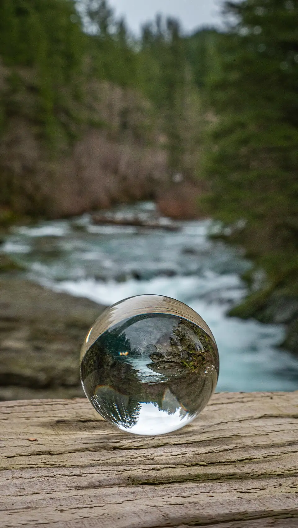

Dougan Falls Swimming Hole
Washougal, Skamania County, Washington. Parking lot.
Details

- Where
- Washougal, Skamania County, WA. No street address stated. Directions
- Season
- Campground is closed from 10/1/2026 until 6/1/2027 due to state level budget cuts.
- Getting there
- Exit SR-14 at Washougal; follow Washougal River Road for the entire 16.4-mile route to camp. At the end of a country road, bear left at Y. The site is on the left, approximately 1 mile from the fish hatchery.
- Fees
- Discover Pass required for vehicles.
- Access
- Dougan Falls Creek Campground is closed from 10/1/2026 until 6/1/2027 due to state level budget cuts.
- Walk-in or reserve
- No reservations; first come, first served.
- Website
- dnr.wa.gov
- Managed by
- Washington State Department of Natural Resources.
The pool below the bridge
Washougal River Road ends at Dougan Falls. There the river widens to more than 100 feet and drops 19 feet sideways into a narrow trough. The Northwest Waterfall Survey catalogs it as a single wide horsetail, pitched at about 77 degrees over a run of 20 feet, at 650 feet of elevation. It gives the river’s average volume there as 520 cubic feet per second. It is the last of the significant falls on the Washougal, and it can be seen from several points along the road.
Below the drop lies what the Survey calls “a deep blue pool, ideal for swimming on a hot summer day.” Visit Washougal describes three ways to use the place. Swimmers wade in the giant pool at the foot of the cascade. Others set lawn chairs in the shallow water above the falls. Others spread beach towels on the sandy beach below the bridge. Across the bridge, the Department of Natural Resources keeps a day-use area with picnic tables and pit toilets. The department’s site map shows a wheelchair-accessible path and toilet there. Dogs are allowed on leash. The Survey adds that at the right time of year, kayakers can sometimes be seen running the falls.
The Washougal is closed to motorized craft, and there are no lifeguards here or anywhere else the town lists for swimming. Visit Washougal advises swimming at your own risk.
Parking at the falls
The falls are well known. In summer, DNR reports the day-use area as very busy and the parking limited. It advises arriving early, and Visit Washougal suggests coming mid-week. A DNR parking map drawn in May 2023 shows the no-parking stretches in red, and cars may stand only in designated spaces. Spaces are first come, first served. A vehicle needs a Discover Pass, $10 for the day or $45 for the year.
DNR land at the falls borders private land, and the department asks visitors not to cross onto it. Visitors must also pack out their own trash.
Lower on the same road, between mileposts 3 and 5, Visit Washougal describes cars lining the shoulder on warm summer weekends. Swimmers there use a two-mile stretch of rocky outcrops, pebble beaches, and cool pools.
The sources give two routes to the falls. DNR’s directions follow Washougal River Road the whole way from State Route 14 at Washougal, a 16.4-mile route. The Waterfall Survey comes in from the east instead. It turns north off Highway 14 onto Salmon Falls Road, follows it 3 miles to Washougal River Road, then 5 miles more to the falls.
Up Dougan Creek and the W-2000
Past the falls the country road ends at a fork. The left fork leads to Dougan Creek, on the left about a mile from the fish hatchery. DNR describes large boulders there, forested edges, and cascading 100-foot waterfalls. The campground has seven sites, five picnic tables, and a vault toilet, with room for trailers up to 16 feet. DNR’s own pages call it both Dougan Creek and Dougan Falls Creek. It is closed from October 1, 2026, until June 1, 2027, because of state-level budget cuts.
The right fork is the W-2000. It follows the Washougal River 3.3 miles to the Three Corner Rock Trailhead. From there a 9-mile trail climbs 2,650 feet to views of the Stebbins Creek valley and the Washougal, and on to the Pacific Crest Trail. The trailhead is temporarily closed for forest management operations.
Named for a fire
The falls, the creek, and the forest roads all lie within the Yacolt Burn State Forest. The forest takes its name from September 1902. That month dozens of wildfires burned through Clark, Cowlitz, and Skamania counties. With no organized system for fighting them, the fires spread across nearly 239,000 acres and killed 38 people. DNR lists the causes most often cited: a long run of hot, dry weather, high wind, heaped-up slash from logging, and human carelessness.
The following year the Washington Legislature created the office of state fire warden. In 1908 private landowners formed the Washington Fire Protection Association. It paid for fire wardens and a fire-prevention program on private lands.
The forest that grew back covers 90,000 acres and is managed as a working forest. DNR sells its timber, biomass, and tower leases. The money helps fund county services and the building of public K-12 schools across Washington.
Notable Events
- 1902Dozens of wildfires ravaged Clark, Cowlitz and Skamania counties in southwest Washington during September 1902; with no organized system for fighting wildfires the fires spread across nearly 239,000 acres and caused 38 deaths, and the state forest that holds the Dougan Falls day-use area is named for them. dnr.wa.gov
Sources
- visitwashougal.com/186/Swimming
- dnr.wa.gov/sites/default/files/2025-03/amp_rec_yacolt_dougan.pdf
- dnr.wa.gov/forest-and-trust-lands/yacolt-burn-state-forest
- dnr.wa.gov/recreation/find-your-campsite
- dnr.wa.gov/sites/default/files/2025-03/amp_rec_yacolt_dougan_falls_safety_corridor_parking.pdf
- dnr.wa.gov/recreation/discover-pass
- web.archive.org/web/2024/https://www.waterfallsnorthwest.com/waterfall/Dougan-Falls-5198