.jpg)
Ditch Creek Guard Station
Heppner, Morrow County, Oregon. Guard Station; May 15 through November 23.
Details

- Where
- 117 S Main Street, Heppner, OR 97836. Directions
- When
- Check in 2:00 PM, check out 11:00 AM.
- Getting there
- From Heppner, Oregon: Travel south on Highway 207 until you reach the edge of town. Take a left up the hill onto Willow Creek Road towards the Willow Creek Damn. Continue to travel 23 miles past Willow Creek Lake, Cutsforth County Park, and up Coalmine Hill. At the top of the Coalmine Hill, continue on the Western Route and take a right in 0.2 miles onto Forest Service Road 21 (County Road 603).
- Fees
- Overnight Use: $50 per night (up to 6 people).
- Access
- The cabin sits in a clearing near Ditch Creek, surrounded by a dense pine forest. The water system is currently down: visitors must bring their own drinking and washing water as there is no water source nearby, and the toilet tank must be manually refilled to flush. Water is normally available May through early October and is off October through April to protect pipes from freezing. Pets and recreational stock are allowed; a stock corral sits nearby. The site is part of the Blue Mountain Scenic Byway route.
- Walk-in or reserve
- Call the Heppner Ranger District three business days before your arrival date to receive a combination for cabin access.
- Phone
- (541) 676-9187
- Website
- fs.usda.gov
- Managed by
- Heppner Ranger District, Umatilla National Forest.
- Established
- 1934 or 1935.
- Coordinates
- 45.118988, -119.34713.
A cabin inside a pole fence
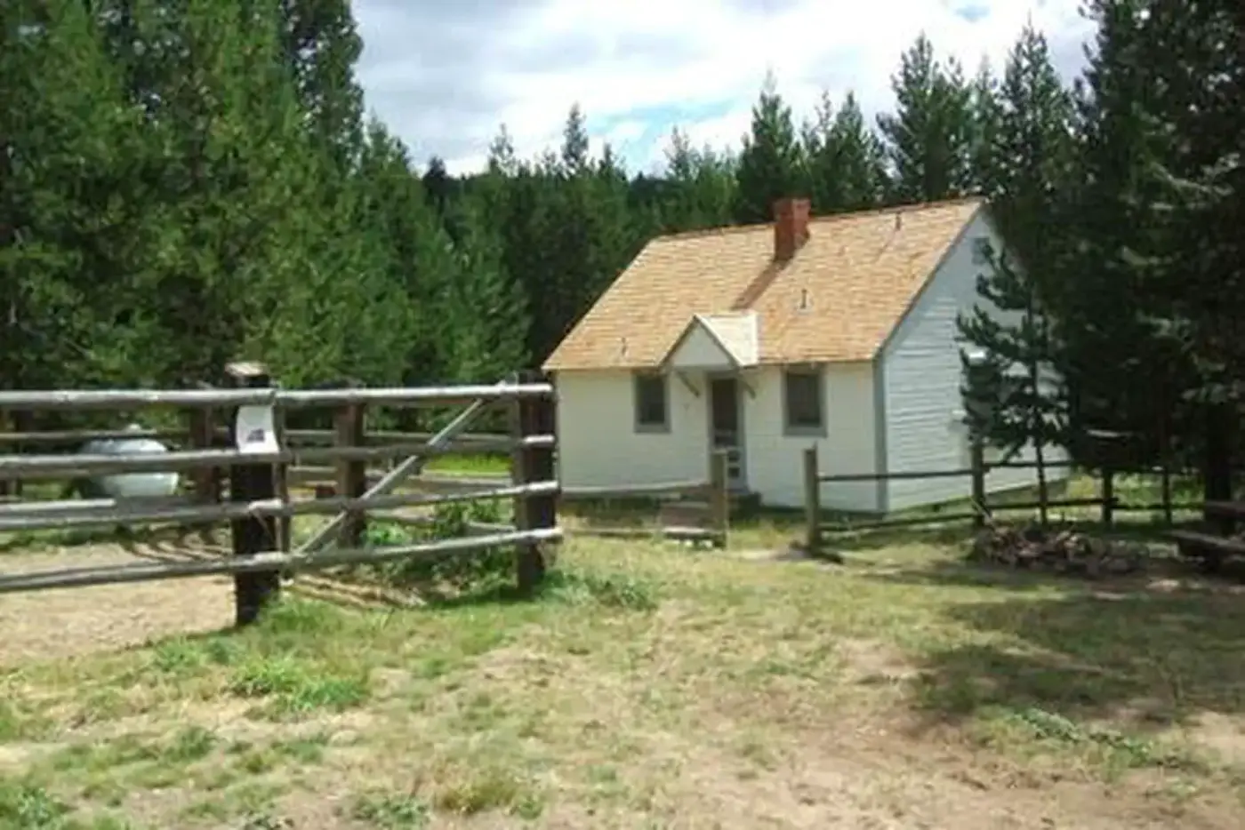
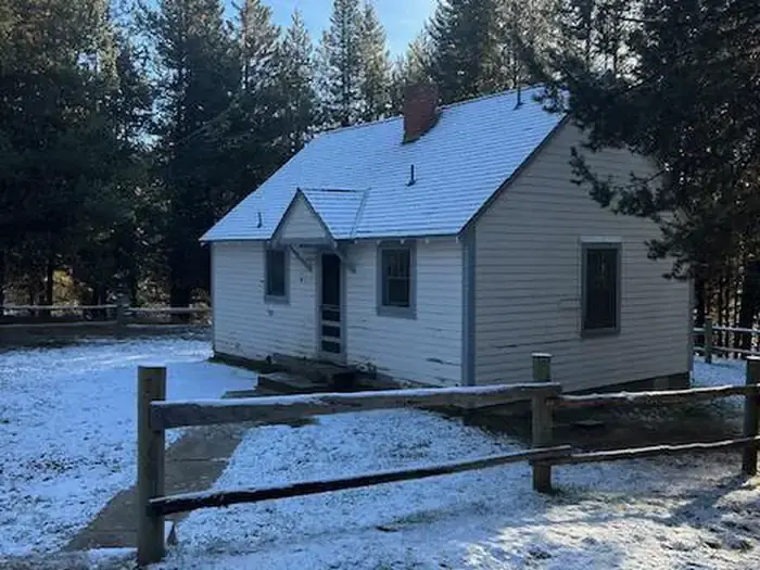
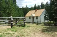
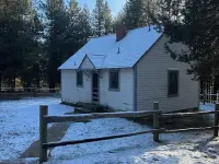
A pole fence encloses a large, flat lawn, and a forest of pine closes in around it. On the lawn stands Ditch Creek Guard Station, a one-story cabin with a bedroom, a living room, a bathroom, and a kitchen with a nook. Outside are a picnic table, a fire pit, and a 20-by-20-foot corral with a trough for horses and other stock. Guests may pitch tents in the yard. In the evening, by the Recreation.gov account, bats flit and swoop above the yard, and deer and elk are likely to be seen nearby.
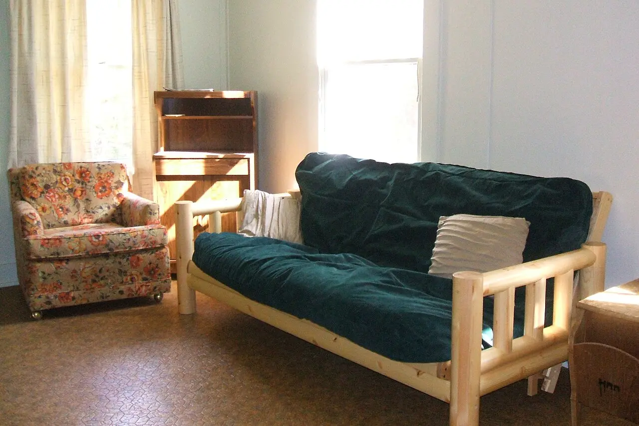
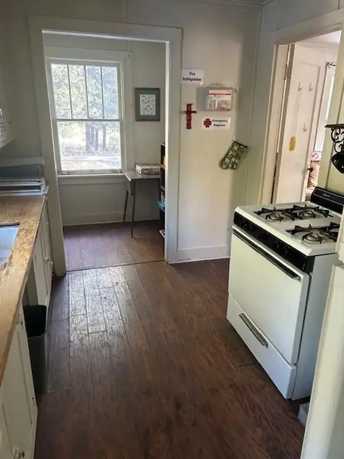
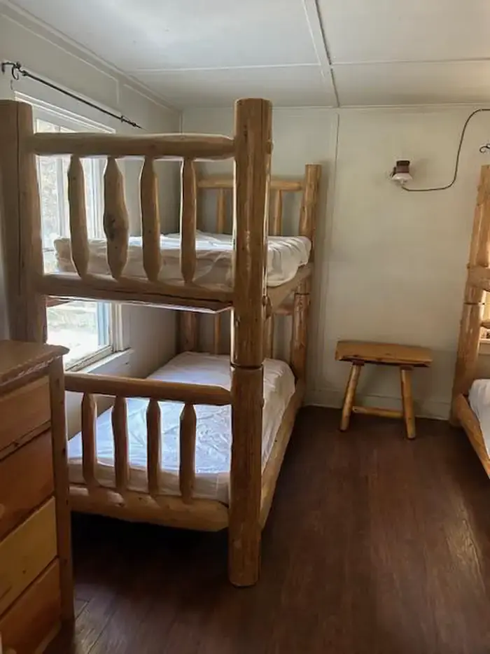
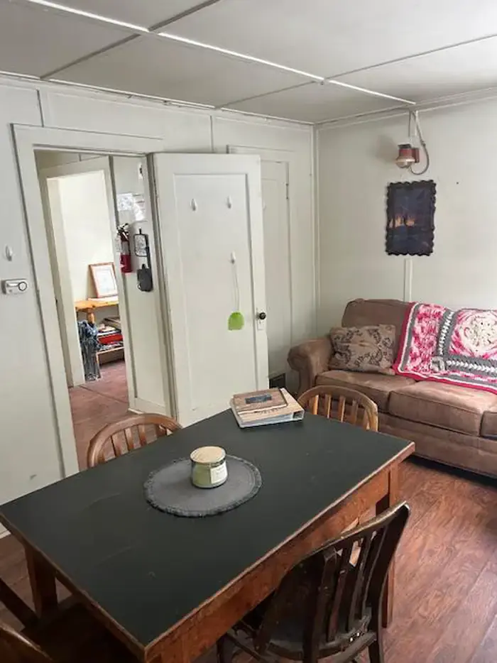
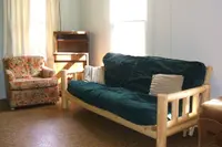
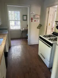
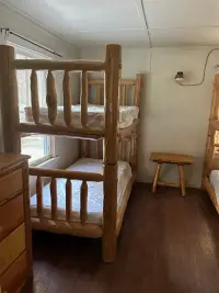
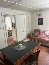
Inside, the bedroom holds a dresser, a chair, and two twin bunk beds. The living room has a table with four chairs, a loveseat, a couch that folds into a futon, end tables, and a heating stove. The kitchen has a refrigerator, a cook stove, cookware, silverware, and dishes, and the nook adds a small table and two more chairs. All appliances and lights run on propane, which the Forest Service supplies. A closet by the entrance holds a mop, a broom, and cleaning supplies, and guests clean the cabin before they leave. Doorways and halls are narrow, and the cabin does not meet accessibility standards. It sleeps six, and the $50 nightly fee goes directly to the maintenance and preservation of the station.
Water is the uncertain part. When the system works, typically May through early October, there is hot and cold water in the cabin and a spigot by the corral for stock. It is shut off October through April to keep the pipes from freezing. On the Forest Service page, last updated September 10, 2026, the system was down and the water was off. When that happens, visitors carry in all their drinking and washing water, because no water source is close by. The toilet still works, but its tank must be refilled by hand to flush. There is no garbage service, and everything packed in is packed home.
Willow Creek Road and Forest Road 21
The station lies about 27 miles southeast of Heppner, a 40-minute drive from the nearest general store. Paved Willow Creek Road runs 23 miles past Willow Creek Lake and Cutsforth County Park and climbs Coalmine Hill. From the top, gravel Forest Service Road 21 runs 3.5 miles to two short spur roads, 050 and 051, that lead up a hill on the north side. The route is part of the Blue Mountain Scenic Byway. The cabin is rented from May 15 through November 23. Entry is by combination lock, and the code comes from the Heppner Ranger District.
The Forest Service gives the elevation as 4,700 feet, and Recreation.gov gives 4,800. Ditch Creek is one of many small perennial streams that run south into the North Fork John Day River, and Recreation.gov notes a small stocked pond beside the cabin. Across the Heppner Ranger District, more than 26 miles of hiking and horse trails cross forest and meadow between 4,100 and 5,300 feet. Visitors also fish nearby streams, Penland Lake, and Bull Prairie Lake, hunt deer and elk, and pick mushrooms and berries.
Red sheds above Martin Creek
Crews of the Civilian Conservation Corps built the station. The Forest Service dates it to 1934 or 1935. Recreation.gov says the mid-1930s. The Historic American Buildings Survey states that all the buildings were constructed by the CCC in 1934, for the Umatilla National Forest, from no surviving plans and to the design of an unknown architect.
The survey records came out of a decision to get rid of some of those buildings. On March 6, 1990, William S. White, an archaeologist with the Umatilla National Forest, completed survey forms for the station’s garage and its barn, or storage shed. The forest had declared both excess and planned to dispose of them. Under an agreement among the Forest Service’s Region 6, the state historic preservation officers of Oregon and Washington, and the Advisory Council of Historic Places, the forms served as mitigative recording. A state archives catalog lists the station as HABS OR-151, with records dated July 1988 and March 1990.
White placed both buildings on a gently sloping terrace above the meeting of Ditch and Martin Creeks, among lodgepole pine. The garage stood 16.8 meters north of the main guard station house, which lay below it. It had a wood frame with shiplap siding painted red, a cedar-shake gable roof, and a double-leaf vehicle door on its west face. The barn was also red, inside and out, under cedar shakes with its rafters exposed. White judged that its site “appears by design to be inconspicuous and hidden from view” from the guard station, “which was probably intended by the Forest Service.” In 1990 neither building had been altered since construction.
The forms count these buildings among 54 on the Umatilla National Forest determined eligible for the National Register of Historic Places. They tie the group to the Forest Service’s shift from custodial supervision of the forests to extensive management, and to the federal response to the Great Depression. The report describes the Region 6 rustic style in its own terms: “The lavish use of wood communicates the wealth of our timber-rich region.”
For decades the station housed forest fireguards. They rode horses deep into the forest interior, looking for wisps of smoke from lightning strikes and checking communications lines along Forest Service roads. In 1997 the guard station became a recreation rental. “Not much has changed around here in a handful of decades,” the Forest Service writes.
Notable Events
- 1934The Civilian Conservation Corps constructed all buildings at Ditch Creek Guard Station. cdn.loc.gov
- 1988The State Historic Preservation Office transfers catalog records Ditch Creek Guard Station as HABS OR-151. archiveswest.orbiscascade.org
- 1997After years of use by forest fireguards who rode their horses deep into the forest interior to look for wisps of smoke from lightning strikes or to check on communications lines along Forest Service roads, the guard station became a recreation rental in 1997. recreation.gov