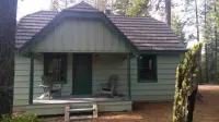
Crescent Lake Guard Station
Crescent, Klamath County, Oregon. Guard station; Memorial Day through early October.
Details

- Where
- Crescent, Klamath County, OR. No street address stated. Directions
- When
- Check-out time is 11:00 a.m. and the check-in time is 4:00 p.m.
- Getting there
- From Crescent, OR: Travel 12.2 miles west on County Road 61/Crescent Cut-off Road, then 3.5 miles north on Highway 58, then 2.2 miles west on Forest Road 60/OR-429 S.
- Fees
- $120 per night per group, with a maximum of four occupants.
- Access
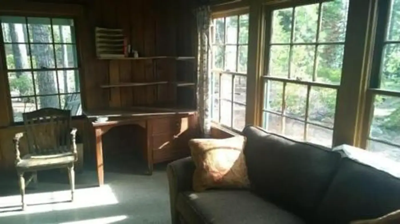
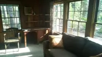
- The Guard Station is approximately 670 square feet with a full kitchen, a furnished living room, original buffet, desk and a newly installed gas wood stove heater. The kitchen includes a fridge, stove and sink. The bedroom has a full bed, and the restroom has a claw foot tub, a toilet and a pedestal sink.
- Walk-in or reserve
- Reservations must be made 1 Day(s) ahead of arrival and can be made up to 6 Month(s) in advance. Phone 1-877-444-6777 or visit recreation.gov.
- Phone
- (541) 433-3200
- Website
- recreation.gov
- Managed by
- Crescent Ranger District, Deschutes National Forest.
- Established
- early 1930s.
- Coordinates
- 43.501351, -121.970208.
The cabin above the east shore
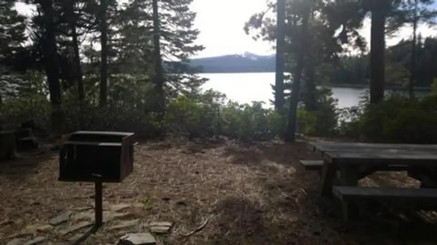
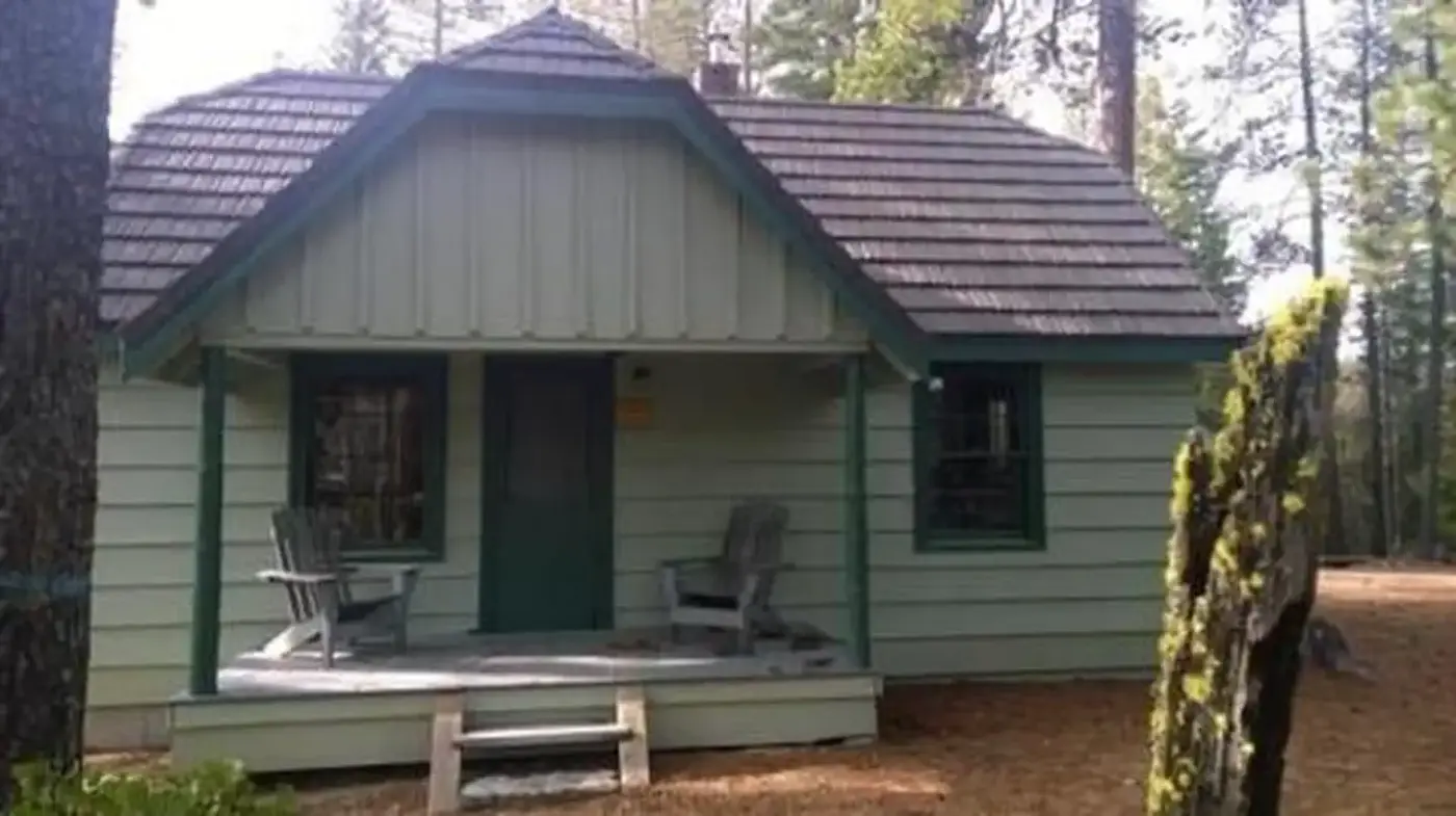
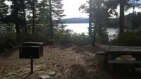
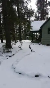
The Crescent Lake Guard Station stands on a small hill above the eastern shore of Crescent Lake, in an open stand of ponderosa pine. From the cabin the lake shows wooded shorelines, sandy beaches, and water the Forest Service calls brilliant blue-green. The building dates from the early 1930s and covers about 670 square feet. The kitchen has a fridge, stove, and sink. The living room holds a couch that folds out to a full bed, an original buffet, a desk, and a newly installed gas wood stove heater. The bedroom has a full bed, and the bath has a claw foot tub, a toilet, and a pedestal sink. Outside are a picnic table, a fire grill, and a horseshoe pit.
The Crescent Ranger District of the Deschutes National Forest manages the cabin and rents it to no more than four people at a time, from Memorial Day through early October, with a two-night minimum. Potable water is on site. There are no utility hookups, no phone service, and limited cell coverage. Guests bring their own linens, bedding, dish soap, and garbage bags. Basic cooking utensils and cleaning supplies are kept under the sink or beside the refrigerator. Dogs stay outside. On departure, renters sweep, wipe down the stove, and pack out all food and garbage so that squirrels, mice, rats, and bears are not drawn to the grounds. The Recreation.gov listing ends its instructions in capitals: “MAKE SURE THAT YOU PUT THE KEY BACK IN THE LOCK-BOX.” The district’s own page, last updated October 20, 2025, carried the words “Site Closed.”
The route from the town of Crescent runs 12.2 miles west on County Road 61, the Crescent Cut-off, then 3.5 miles north on Highway 58, then 2.2 miles west on Forest Road 60. Past the Sno-Park, signs point to the resort on Forest Road 6005. A right onto 6005-100 and a left onto 6005-105 bring the cabin up on the right, on the lake side of the road. The district asks renters to call before arriving to ask about fire or road closures and storms. Crescent Lake Resort is within walking distance and sells food and fishing supplies and rents boats. A boat launch nearby serves fishing, swimming, and motorized boating, and a trail into the Diamond Peak Wilderness can be reached close by.
A lake behind a moraine
Crescent Lake lies just east of the Cascade summit in northern Klamath County, at an elevation of 4,839 feet. The 1985 Atlas of Oregon Lakes places it among several large, deep Oregon lakes made by glaciers in the Pleistocene. It fills a broad, scoured valley behind a moraine dam that the ice left as it retreated, and nearby Odell Lake formed the same way. The lake is five miles long and four miles wide, with a maximum depth of 265 feet. Summit Creek brings water in from Summit Lake, and Crescent Creek carries it out to the Deschutes River.
The atlas counted four Forest Service campgrounds, more than 70 recreation cabins on the northwest shore, a private resort near the outlet, and a Boy Scout camp on the south shore. Only the north and west shore roads were paved, and the east shore road was narrow and unsurfaced. The atlas listed kokanee, lake trout, mackinaw, and whitefish, with a few brown trout caught each year.
Lewis A. McArthur’s Oregon Geographic Names records that B. J. Pengra and W. H. Odell named the lake in July 1865, while making a reconnaissance for the Oregon Central Military Road. In 1909 its waters were reserved for irrigation. Private interests then built a control dam at the outlet that raised the surface several feet. The Bureau of Reclamation later removed that dam and, in 1955 and 1956, built a new one 40 feet high. The lake now stores water for 8,000 acres on the west side of the Deschutes near Bend, under a project the Tumalo Irrigation District operates. Irrigation withdrawals lower the water several feet each late summer.
The 2015 notice
On November 9, 2015, Deputy Forest Supervisor A. Shane Jeffries signed a Federal Register notice proposing a $120 fee for overnight rental of the guard station. The cabin, the notice said, “has not been available for recreation use prior to this date.” It had been refurbished with grant dollars, had a full kitchen, running water, and gas heat, and would sleep one to four people. The Deschutes then had two other recreation rentals, which were often fully booked through their seasons, and the notice said rentals of the forest’s other guard stations and lookouts had shown that people enjoyed historic rental cabins. It named Robert Gentry, Recreation and Lands Team Leader at the Crescent Ranger District, as contact, and it gave July 2016 as the month the cabin was intended to open to renters. The Forest Service lists the station at $120 per night per group, and the fees go to its maintenance and preservation.
Notable Events
- 1909In 1909 the lake's waters were reserved for irrigation purposes; a control dam later built at the outlet by private interests raised the water level several feet. oregonlakesatlas.org
- 1930sThe cabin was built on Crescent Lake's eastern shore. fs.usda.gov
- 2015The Forest proposed overnight rental of Crescent Lake Guard Station, which had not previously been available for recreation use. govinfo.gov
- 2016The notice intended that the guard station become available for recreation rental in July 2016; it does not establish that opening occurred. govinfo.gov
People
- B. J. Pengra, With W. H. Odell, named Crescent Lake during a reconnaissance for the Oregon Central Military Road (July, 1865).
- W. H. Odell, With B. J. Pengra, named Crescent Lake during a reconnaissance for the Oregon Central Military Road (July, 1865).
- A. Shane Jeffries, Deschutes National Forest Deputy Forest Supervisor who signed the guard station fee-site notice (November 9, 2015).
- John Allen, Deschutes National Forest Supervisor named in the guard station notice's addresses.
- Robert Gentry, Crescent Ranger District Recreation and Lands Team Leader and further-information contact for the guard station proposal.
Sources
- recreation.gov/camping/campgrounds/252282
- fs.usda.gov/r06/deschutes/recreation/crescent-lake-guard-station
- en.wikisource.org/wiki/Oregon_Geographic_Names_(1952)/C
- govinfo.gov/content/pkg/FR-2015-11-19/pdf/2015-29540.pdf
- fs.usda.gov/r06/deschutes/recreation/crescent-lake-guard-station
- oregonlakesatlas.org/lake/17070302000357