Cougar Peak Lookout
Plains, Sanders County, Montana. Forest Service L-4 style lookout; July 1 through September 15.
Details

- Where
- 408 CLAYTON, Plains, MT 59859. Directions
- When
- Arrival is no earlier than 2:00pm. Departure is no later than 11:00am.
- Getting there
- From Thompson Falls, travel west on state highway 200. Turn right on the Blue Slide Road which is about a mile from Thompson Falls. Drive 9 miles along the Blue Side Road and turn right onto the Cougar Peak Road #403. Follow the road to the end. Lookout cabin sits on the ground near the end of Road #403. 150-foot walk to lookout.
- Fees
- $30 a night.
- Access
- New vault toilet installed. Water Potable water is not available at this site. Picnic Tables Picnic tables are not available at this site. Horse/Pack Animal Information Horse/Pack animals are not allowed at this site.
- Walk-in or reserve
- Reservations required through Recreation.gov.
- Phone
- 406-826-3821
- Website
- fs.usda.gov
- Managed by
- Lolo National Forest.
- Established
- 1952.
- Coordinates
- 47.744403, -115.383686.
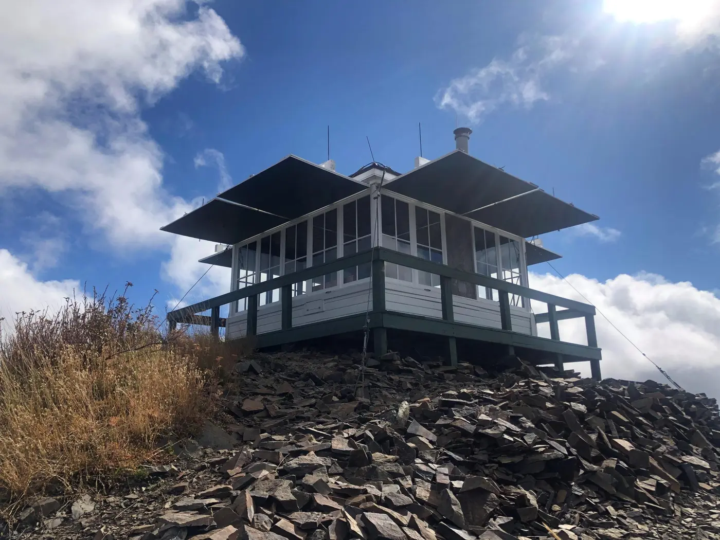
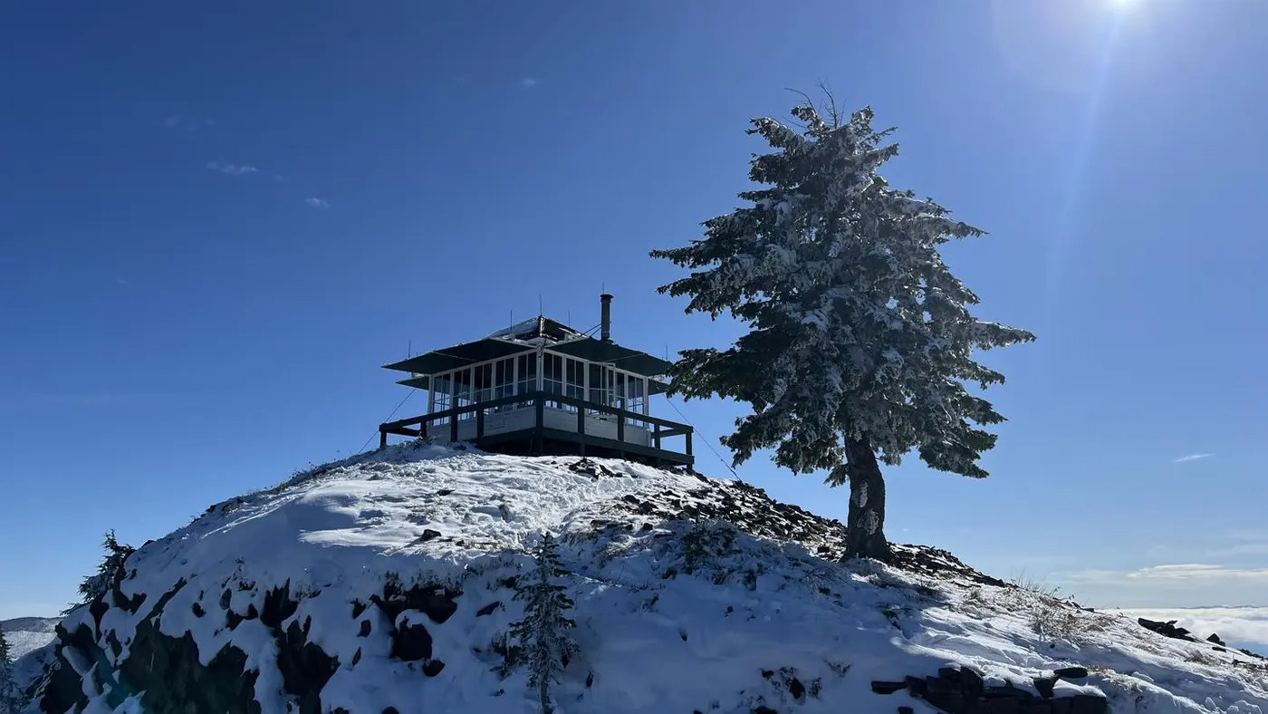
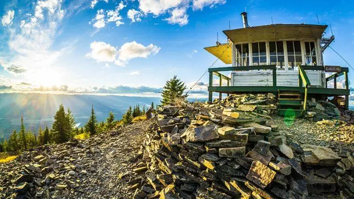
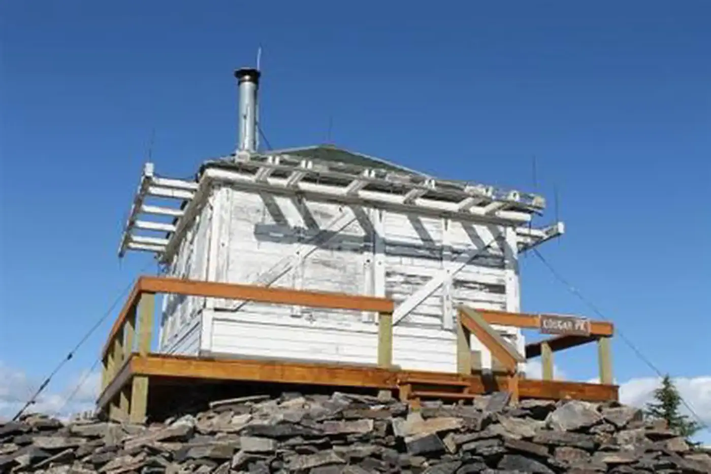
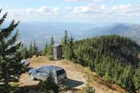
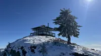
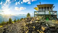
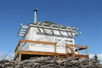
The lookout at the end of Forest Road 403 stands on the ground. Recreation.gov notes that it is “not elevated like many other lookouts,” and a 150-foot walk leads from the parking area up to its door. The building is 14 feet square and sits at 6,694 feet in the Clark Fork River drainage of the Cabinet Mountains. The Visit Montana listing puts it 10 air miles north of Thompson Falls. The Lolo National Forest rents it overnight to parties of two to four, through Recreation.gov, and sends the key code for the locked gate and door with the reservation confirmation.
A room fourteen feet square
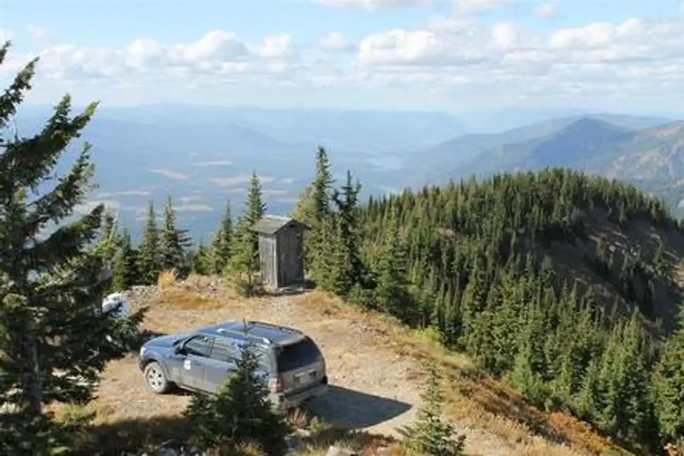
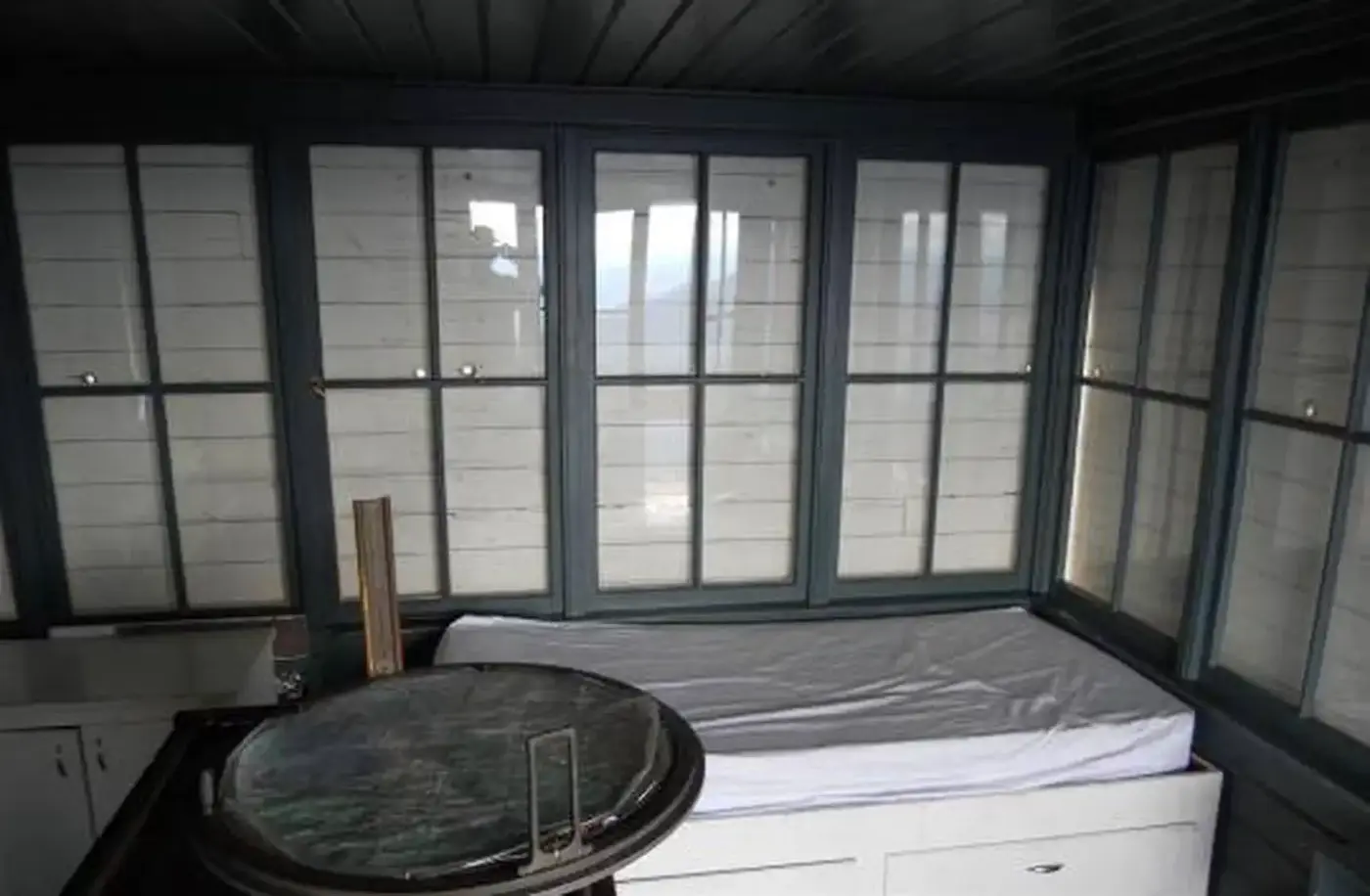
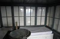
The furnishings fit in a sentence. The Forest Service and Visit Montana list a single bed, a table and two chairs, and a wood stove. Recreation.gov describes the bed as a full bed for two with a mattress pad. Nothing else is provided. Guests bring a gas stove for cooking, their own utensils, sleeping pads, cots, flashlights, matches and toilet paper. They also bring all their water, because there is none on the peak. Firewood for the stove may be gathered nearby. There is room outside for a small tent when the cabin is full. A rustic outhouse with a vault toilet stands about 200 feet off, at the parking area. The Forest Service page reports a new vault toilet installed, and in 2020 the Sanders County Resource Advisory Committee recommended funding for “Cougar Peak Lookout Toilet and Sign Replacement.”
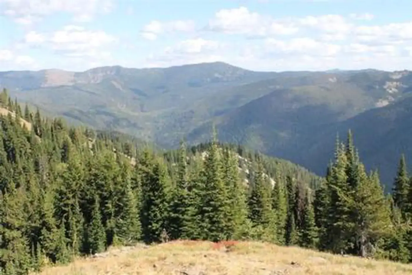
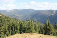
From the windows, the Forest Service sees the river valley and the surrounding Cabinet Mountains. Recreation.gov adds the opposing Coeur d’Alene Mountains, and Visit Montana names the Bitterroot Range to the west. The peak is exposed to the extremes of weather. Visit Montana and Recreation.gov both warn guests to expect cold and often wet or damp weather, even when the valley below is warm and dry.
Cougar Peak is grizzly bear habitat. Food, garbage and pet food are kept inside the lookout or in a vehicle, and all garbage leaves with the guests. Recreation.gov lists the wider forest’s animals as mountain goats, bighorn sheep, elk, moose, deer, and grizzly and black bears. It also records bald and golden eagles, trumpeter swans, herons and dozens of kinds of ducks. Pets are not allowed inside the lookout.
Road 403 and the ridge below
The way up leaves Thompson Falls westbound on Highway 200. About a mile out, before the Clark Fork River bridge, it turns right onto Blue Slide Road. The Forest Service gives 9 miles on Blue Slide Road to the junction with Road 403, and Recreation.gov gives about 8. Recreation.gov then counts about 14 miles to the lookout, and the Forest Service says only to follow the road to its end. Late spring snow drifts can block the last stretch and leave visitors to walk a short distance.
Cougar Peak Trail #541 follows the ridge below the lookout northeast toward Vermillion Pass. Within an hour’s drive, the Noxon Rapids and Cabinet Gorge dams hold back the Clark Fork. Recreation.gov notes that their reservoirs are fished for large and smallmouth bass and northern pike.
An L-4 house on the old Cabinet Forest
The Forest Service had long counted fire detection as its first work. Its 1905 Use Book told officers they had “no duty more important than protecting the reserves from forest fires.” After the 1910 fire burned across Montana and Idaho, Region 1 began building a network of lookout points. A 1915 report counted 127 of them, and only 12 had cabins. Most lookout men still lived in tents beside their observation points.
Cougar Peak had a lookout by 1930, the date Visit Montana gives for the original structure; Recreation.gov says only the 1930s. In 1952 the Forest Service replaced it with a lookout house built from a standard plan, the L-4. The 2017 multiple-property documentation for Region 1’s L-4 lookouts identifies the plan as the 1936 pattern. At the time the peak belonged to the Cabinet National Forest. In 1954 the Forest Service combined that area with the Lolo, and, in Visit Montana’s words, “Cabinet Forest became history.”
The accounts of staffing do not agree. Visit Montana says the lookout was manned during summer fire seasons until 1979, when aerial observers took over the work, and that it is still used now and then for fire detection in periods of high danger. The 2017 documentation, prepared by Janene Caywood of CRCS in Missoula, lists Cougar Peak in 1992 among ten Lolo lookouts manned through the summer fire season, still with its 1936-model L-4 house.
That documentation supported a nomination to the National Register of Historic Places. In May 2018, Montana’s State Historic Preservation Review Board heard the Cougar Peak nomination along with four others, among them the Glacier Park boat Big Chief. The board passed all of them to the Keeper of the National Register in Washington, D.C., for a final determination. The National Park Service received the nomination, number MP100002774, before June 30, 2018. Its notice of July 20, 2018, recorded that the State Historic Preservation Officer supported the listing.
Four bulldozers in 1963
The road to the top came eleven years after the house. On September 5, 1963, the Sanders County Ledger in Thompson Falls reported that work had started that Tuesday on the remaining 3.6-mile section of the Cougar Peak Road. District Ranger Irwin Puphal expected it finished that fall. Richard Browne led the Forest Service crew logging and clearing the right of way. Bulldozer work was to begin the following Monday, using four machines supplied under contract by Thomas Plaggemeyer of Missoula. Ernest O. Wolridge, also of Missoula, was in charge of the project for the Forest Service, and accelerated public works funds paid for it.
With the road done, Puphal said, every major lookout in the Thompson Falls District except Priscilla would have a road leading to it. He told the paper the Cougar Peak Road would give “a very scenic drive for local people,” with views over the Finley Flats and Blue Slide stretches of the Clark Fork River.
Notable Events
- 1930The original structure dated to 1930 and was later replaced by the current lookout. visitmt.com
- 1952Cougar Peak received a 1936-pattern L-4 lookout. mhs.mt.gov
- 1954The Forest Service divided the old Cabinet National Forest, which became the Lolo National Forest. recreation.gov
- 1963Construction had started on the remaining Cougar Peak Road section leading to the lookout; completion was expected that fall. newspaperarchive.com
- 1979The lookout was manned during the summer fire seasons until 1979, when aerial observers took over its function; it still sees intermittent use in high fire danger. visitmt.com
- 1992Cougar Peak was among ten lookouts manned during the summer fire season, retaining its 1936-model L-4 house. mhs.mt.gov
- 2018All nominations heard by the board were passed to be forwarded to the Keeper for a final listing determination. mths.mt.gov
People
- Ernest 0. Wolridge, In charge of the lookout road project for the Forest Service.
- Irwin Puphal, District Ranger announcing construction of the remaining road to Cougar Peak Lookout.
- Richard Browne, In charge of the Forest Service crew logging and clearing the lookout road right of way.
- Thomas Plagg Meyer, Missoula contractor awarded the supply of four bulldozers for lookout road construction.
Sources
- recreation.gov/camping/campgrounds/234423
- recreation.gov/api/camps/campgrounds/234423
- fs.usda.gov/r01/lolo/recreation/cougar-peak-lookout
- fs.usda.gov/r01/lolo/working-with-us/committees/sanders-county-resource-advisory-committee
- visitmt.com/listing/cougar-peak-lookout-cabin-13900
- nps.gov/subjects/nationalregister/pending-list-20180630.htm