Congleton Hollow Limb Cast Site
Prineville, Crook County, Oregon. Limb cast collecting site; Best time to visit: May through October.
Details

- Where
- Prineville, Crook County, OR. No street address stated. Directions
- Getting there
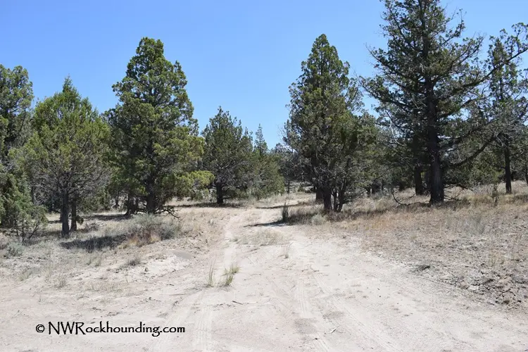
- From Prineville, head southeast on Highway 380 Post/Paulina to Congleton Hollow Road; turn right just after milepost 51 onto Congleton Hollow Road and drive 3.9 miles where it splits; go to the left and continue 0.4 miles to one of the collecting sites.
- Fees
- None.
- Access
- Roads leading to Congleton Hollow are rugged and uneven, and can become muddy during wet weather, making 4WD vehicles highly preferable; high desert environment, prepare thoroughly.
- Website
- fs.usda.gov
- Managed by
- Bureau of Land Management.
- Coordinates
- 44.058367, -120.013417.
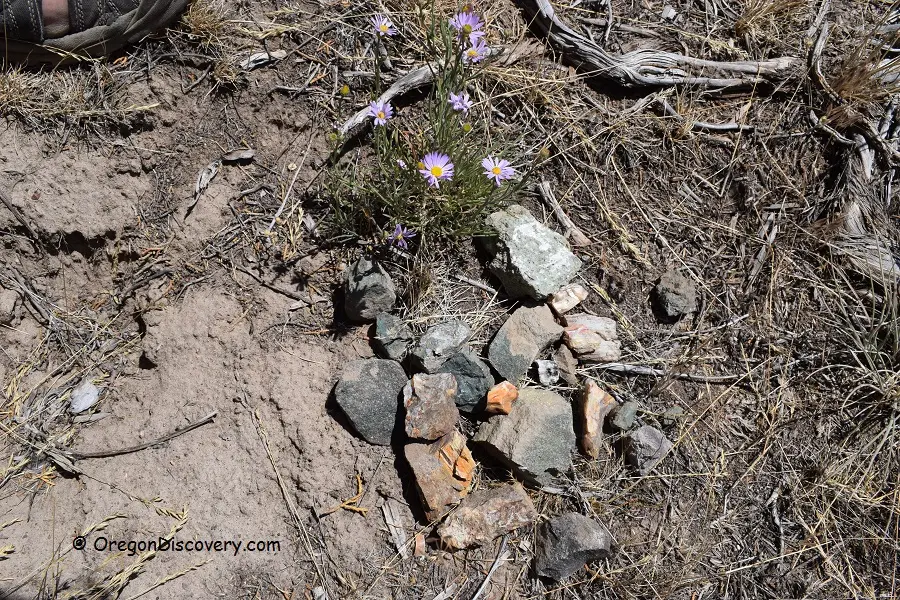
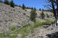
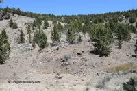
Congleton Hollow covers about 640 acres of high desert in Crook County, Oregon, at an elevation of about 4,000 feet. The Bureau of Land Management recognizes it as a recreational rock and mineral collecting site. The Ochoco National Forest’s rocks and minerals guide lists it under the heading Paulina, together with nearby Dendrite Butte, as the county’s place to look for limb casts. Collectors come for those casts and for opalized petrified wood in shades of blue, pink, and green. Despite the site’s long popularity, Northwest Rockhounding reports, material can still be found on the surface.
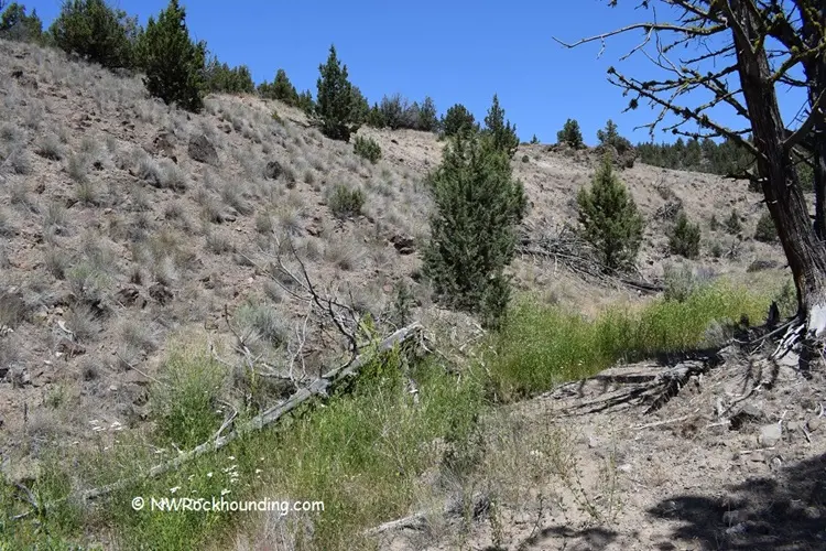
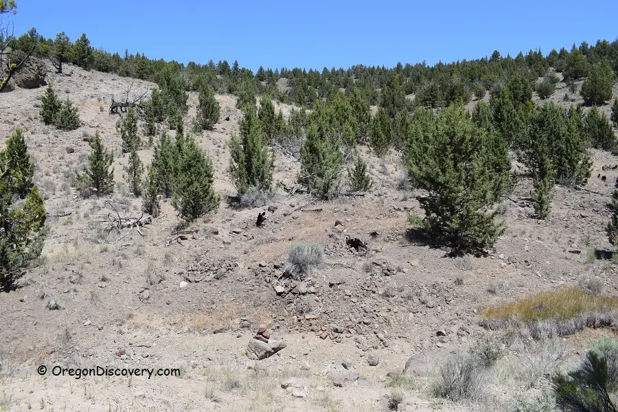
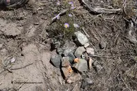
The favored ground is the hills and the creek beds, which are usually dry in summer. Northwest Rockhounding and Oregon Discovery both describe the most desirable finds as large pieces of petrified wood replaced by agate, jasper, or quartz. The exceptional ones hold quartz crystal cavities, dendritic inclusions, or intricate banding. The Forest Service notes that limb casts with a green or pink hue are highly prized. The tools listed for the site are a shovel and a geology pick. There are no fees and no amenities. Primitive camping is permitted on BLM land, and the guides give May through October as the best months.
The road off Highway 380
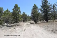
The hollow lies southeast of Prineville. Northwest Rockhounding gives the distance as about 55 miles in one place and 60 in another, and Oregon Discovery gives 60. The way runs out Highway 380, the Post-Paulina road, to a right turn just past milepost 51 onto Congleton Hollow Road. The first 1.1 miles cross private land, and drivers are asked to stay on the road until public land begins. At 3.9 miles the road splits, and the left fork reaches one of the collecting sites in another 0.4 mile.
From the central point fixed by GPS, an access road of about 0.7 mile continues on, with branch roads leading off it, and collectors stop where they please. The guides say that larger pieces of petrified wood take hiking and digging farther from the main road. BLM land borders the site on the east and north, and private property lies along the south.
The road is rugged and uneven and turns to mud in wet weather. Oregon Discovery warns that it can become impassable then, and both guides recommend a high-clearance four-wheel-drive vehicle. The nearest lodging is in Prineville.
On July 8, 2025, the BLM’s Prineville District announced an immediate temporary closure of public lands near Paulina because of an active fire. Congleton Hollow Road was among the affected areas, and all public access was prohibited until safe access could be ensured.
Wood burned out of ash
The Forest Service describes a limb cast as a filling in a hollow of volcanic ash. Hot ash buried a piece of wood and burned it away completely, leaving a mold in its shape. At a later time agate was deposited in the cavity and took the form of the original limb. Many specimens still show bark, knots, and wood grain on the surface.
Oregon Discovery gives a different account. In its version, molten lava engulfed a tree that did not burn entirely, forming a mold around the limb. Groundwater minerals later seeped into the hollow and laid down jasper and chalcedony.
Maps, shovels, and a pound limit
The rockhounding grounds of the Prineville country were first mapped in the 1960s, when local chambers of commerce kept up a few of the sites. In 2008 The Bulletin reported that four years earlier the Forest Service, the BLM, and the Prineville-Crook County Chamber of Commerce had joined to update that map. The new edition added GPS coordinates, a briefing on local geologic history, and the “rockhound’s code of ethics.” Brandi Hereford, the chamber’s executive director, said it gave out hundreds of the maps each year. The Central Oregon Rockhounding Map is now sold in print and as a download through Avenza.
The same 2008 article named Congleton Hollow, Dendrite Butte, and Maury Mountain as sites southeast of Prineville with fairly simple rules. Carrie Gordon, the Ochoco National Forest geologist, said rockhounds may dig with shovels and take home what they find. Mechanized digging equipment and blasting are not allowed. “The thing is (taking) reasonable amounts — what we’re talking about is personal collecting,” she said. She added that the best finds do not always come from digging: “I’ve actually found some of my best pieces just walking around in the spring on the slopes in the forest and on BLM land.”
Commercial resale is not allowed. The Bulletin in 2020 gave the limit as 25 pounds a day plus one piece, with 250 pounds a year, and noted that vertebrate fossils and historical artifacts may not be taken.
The Congletons of Paulina Valley
The hollow shares its name with a ranching family of the Paulina Valley. Crook County historian Steve Lent writes that William “Billy” Congleton established a ranch in the valley, east of Prineville, in 1880. His cousin Charles Sheldon Congleton was born October 26, 1884, on his parents’ farm at Slade, Kentucky. In 1904 Charles got the urge to travel west. He took the train to Shaniko and the stage to Prineville, arriving on Christmas Eve, 1904. After two days he took the stage on to Paulina. There he did ranch work for his cousin and for rancher Ed Laughlin near the peak of central Oregon’s sheep and cattle wars. He later wrote about those harrowing times in a memo letter to the Forest Service.
On April 15, 1907, Superintendent A.S. Ireland of the Blue Mountain Forest Reserve hired him as a forest guard. Local ranchers had recommended him. The position had no office, only a mailing address in Paulina. He spent his first months searching out section corners and marking the forest boundary, and he counted sheep for grazing allotments. He became Assistant Forest Ranger in August 1907 and Deputy Forest Ranger early in 1908. He began a stock driveway trail that ran from the forest boundary at McKay Creek, north of Prineville, to the Rockpile Ranch on the South Fork of the John Day River.
He married Glee Laughlin on August 24, 1910. He worked out of the Rager Ranger Station, built that same year, and kept the daily diaries the agency required. The Bowman Museum in Prineville has since transcribed them. In 1914 the couple bought 160 acres on Beaver Creek and later added homestead claims and neighbors’ land. By the mid-1920s the ranch had grown large enough that he resigned from the Forest Service on June 15, 1927. His entire Forest Service career had been spent on the Paulina Ranger District.
Paulina gave him the unofficial title of “mayor.” He ran the ranch until 1948, and his son Lowell and Lowell’s wife Florence ran it until it was sold in 1979. He was named Crook County Cattleman of the Year in 1956 and died in Prineville on September 26, 1962.
Notable Events
- 1960sRockhounding areas were first mapped in the 1960s, when a few of the sites were maintained by local chambers of commerce. bendbulletin.com
- 2025The Bureau of Land Management announced an immediate temporary closure of certain public lands in Crook County because of an active fire, listing Congleton Hollow Road among the affected areas, with all public access prohibited until safe access can be ensured. blm.gov
People
- Charles Sheldon Congleton, pioneer rancher and early forest ranger of Paulina Valley who came to Central Oregon to join his cousin Billy Congleton's ranch, joined the Blue Mountain Forest Reserve staff and became one of the earliest Rangers in the region (born October 26, 1884 in Slade, Kentucky).
- William "Billy" Congleton, cousin of Charles Sheldon Congleton who had established a ranch in Paulina Valley east of Prineville (ranch established in 1880).
- Bart Wills, Ochoco National Forest geologist to whom questions about mining permits and related minerals activities on the forest and the Crooked River National Grassland are directed.