Clear Creek Management Area gem collecting
San Benito County, California. BLM management area.
Details
- Where
- San Benito County, CA. No street address stated. Directions
- Season
- The area may close temporarily to motorized vehicle traffic during periods of heavy rainfall; call the Central Coast Field Office for current conditions.
- Fees
- Vehicle permit $5 per week; Condon Peak ATV permit $10 a week per ATV/UTV, operator 16 or older; each permit carries a $6 reservation fee when purchased online.
- Access
- Persons may camp within designated campgrounds or on undeveloped public lands not closed to camping within the Hollister Resource Area for a total period of not more than fourteen days during any three-month period.
- Walk-in or reserve
- The vehicle permit and the Condon Peak ATV permit are available on-site via fee envelopes; the Serpentine ACEC permit is available online only, and the printed permit carries the gate combination.
- Phone
- 831-582-2200
- Website
- blm.gov
- Managed by
- Bureau of Land Management Central Coast Field Office.
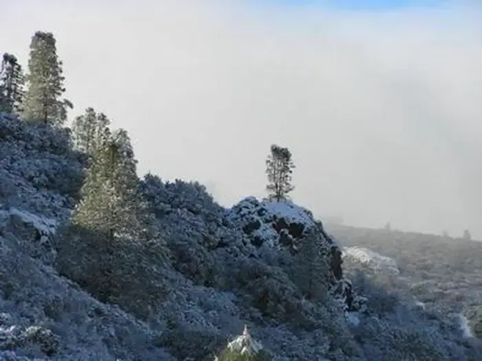
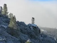
At the gate into the Serpentine Area of Critical Environmental Concern, a lock waits for a four-digit number. The number is printed on the visitor’s permit. The permit is free, issued online only, and admits one person for one day. Every entrant of any age carries one in their own name, and no one may hold more than five in a calendar year. Beyond the gate lies the Clear Creek Management Area: about 75,000 acres in San Benito and Fresno counties, 63,000 of them public land under the Bureau of Land Management’s Central Coast Field Office. The ground runs from 1,830 feet at Pine Canyon to 5,241 feet on San Benito Mountain, where snow falls most years.
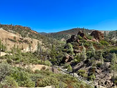
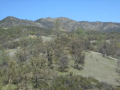
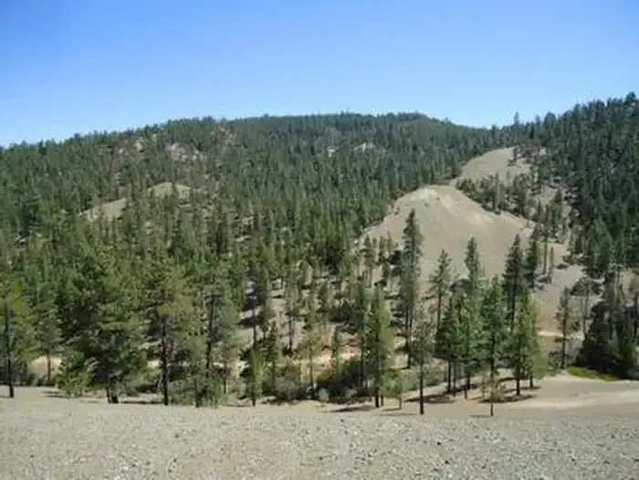
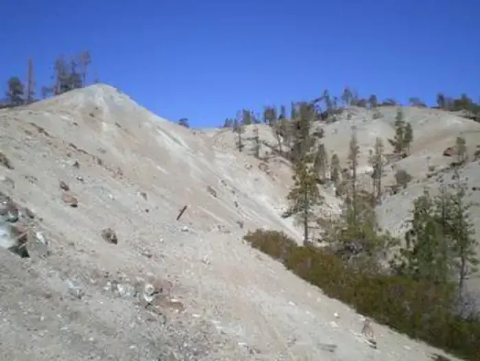
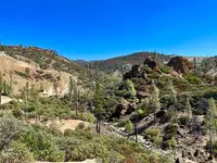
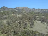
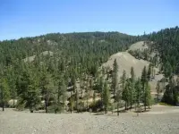
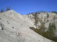
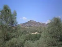
Collectors come for the stones. The BLM counts over 150 semi-precious minerals and gemstones in what it calls one of the most highly mineralized areas in California. Among them are serpentine, jadeite, cinnabar, tremolite, topazite, neptunite, and the state gem, benitoite. The EPA describes the serpentine country as naturally barren slopes, bald ridges, chaparral and rare plants. Elsewhere the routes run deep into forest, and from some points the views reach the Central Valley and the Sierras. A Los Angeles Times reporter in 2008 listed deep canyons, scampering feral pigs, rainbow-hued flowers and giant rock formations. The same serpentine, some 31,000 acres of it by the EPA’s count and 30,000 by the BLM’s, is one of the largest naturally occurring asbestos deposits in the world.
Dust, signposts, and two campgrounds
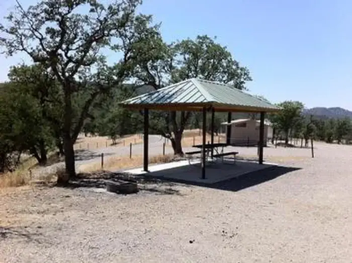
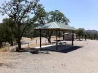
Only highway-licensed vehicles may enter the Serpentine area. They keep to routes marked with Carsonite posts bearing a blue touring-route sticker, and every other area is closed. A separate $5 vehicle permit covers the larger management area for seven days and can be bought on site from a fee envelope. Riders of ATVs and UTVs go instead to the trail network at Condon Peak, on a $10 weekly permit for operators 16 and older. Shooting is barred within a quarter mile of Clear Creek Road. Camping is barred inside the Serpentine area. Two developed campgrounds lie in the management area, Oak Flat, at 2,600 feet, and Jade Mill. Each has picnic tables, shade structures, fire rings and toilets. Private parcels lie scattered among the public land, and the BLM asks visitors to tread lightly around them.
The agency posts an asbestos alert: the risk of airborne exposure exists year-round, and children are most at risk. Its advice is to stay away in dry or dusty conditions and to wait for visible dust to clear before opening a car door. Drivers should keep windows shut with the ventilation on recirculate, wash the vehicle before going home, launder clothes separately, and clean the interior with a HEPA vacuum. “Please think twice before bringing your child to the CCMA,” the permit page reads. Winters are cool and wet and summers hot and dry. During heavy rain the area may close to motorized traffic.
Blue crystals in serpentine
Benitoite was found in 1906 by J. M. Couch at what the California Geological Survey calls the Benitoite Gem Mine locality in San Benito County. It was first taken for sapphire, but jewelers determined that it was not. In 1907 George D. Louderback, a mineralogy professor at the University of California at Berkeley, identified it as a new species. He named it for the river, county and mountain range where it was found. Gem-quality benitoite occurs only in a small area of San Benito County, and crystals have never been found much larger than 5 centimeters across. The stone grows in veins in a shattered zone of blue schist set into serpentine, alongside neptunite and joaquinite, in a matrix of white natrolite. Its flattened triangular crystals commonly run pale or white at the center and deep blue at the rims. Under short-wave ultraviolet light they glow a bright deep sky blue. Mineralogists know it as the only naturally occurring representative of the ditrigonal-dipyramidal crystal class. The California legislature made it the state gem on October 1, 1985.
Jadeite turns up in blocks of other rock caught inside the serpentine. In 1961 the geologist R. G. Coleman described two forms. One is lens-shaped inclusions with a core of solid green jadeite inside a rim of calc-silicate. The other is jadeite veins cutting through albite-crossite schist. He found no evidence of extreme pressures or temperatures. The jadeite formed in a system low in silica and water, at reduced temperatures and pressures.
The serpentine body itself came up from the mantle. A 2022 paper by Coleman and three colleagues describes how the San Andreas fault, propagating northward, closed off an old subduction zone. Seawater then penetrated the mantle rock beneath and turned it to serpentinite. Lighter and larger than the rock it replaced, the mass rose and had broken widely through the surface by about 14 million years ago.
The primrose and the trails
The hundreds of miles of criss-crossing routes are, in the EPA’s words, a legacy of historic mining activities. The Fish and Wildlife Service says a hundred years of mining raised erosion above normal levels. Asbestos was mined and milled at the Atlas Asbestos Mine until 1979, according to Interior Department testimony. The Fish and Wildlife Service’s 2006 recovery plan puts the closing of the last commercial asbestos mine in the area in 2002. The Atlas mine became a Superfund site. In its 1991 Record of Decision the EPA named the management area one of four geographic areas making up the site.
The mining roads became riding country. Before 2008 the area drew 35,000 visits a year. Don Amador of the BlueRibbon Coalition, an off-road group, put the trail mileage at 800 and said motorcycle magazines had ranked the area among the top 10 off-road areas in the nation.
The same ground holds the San Benito evening-primrose, Camissonia benitensis. It is a small annual that grows only on serpentine-derived terraces near San Benito Mountain, which floods wash away and build again elsewhere. Peter Raven described the species in 1969 from earlier collections along Clear Creek. Off-highway riding was named its principal threat as early as 1970. The Fish and Wildlife Service proposed listing it as endangered on October 31, 1983. On February 12, 1985, it listed the plant as threatened instead, in recognition of protective measures the BLM had proposed. The BLM designated the serpentine an Area of Critical Environmental Concern in 1984, citing the asbestos-bearing soils.
The Times called the listing the start of a 20-year battle between environmentalists and off-roaders. After a lawsuit by the Center for Biological Diversity and the California Native Plant Society, off-road use was confined to 242 miles of trails. The recovery plan found that about two-thirds of the plant’s known occurrences had been damaged by off-road recreation. Clear Creek Canyon holds about 75 percent of all its individuals.
Closed in 2008, reopened by permit
The BLM first studied the asbestos in 1992. It warned visitors to avoid breathing dust and drinking creek water, and for three years it closed the area each June to October, the dustiest months. In 2004 the EPA began a new risk assessment. Its technicians rode the trails on dirt bikes and in SUVs with the windows down and took 300 samples in February, September and November. They wore backpacks carrying small air pumps, with the filter intakes at shoulder height and close to the torso to simulate exposure to children.
The final report came out on May 1, 2008, and the BLM closed the Serpentine area that day to all entry. The Times reported the finding that five visits a year over three decades could lead to lung cancer and other diseases. Field manager Rick Cooper called the year-round closure “an extremely tough decision. But my first priority must be protecting the health of visitors and employees.” Amador argued that the local short-fiber asbestos, Coalinga chrysotile, is “not a health risk,” and said, “We are in for a long, hard battle.” Brian LeNeve, the plant society activist who had led the primrose fight, said: “I’m not sure the decision is wrong.” He added, “Even with the EPA final report, I would go to Clear Creek again with no worry.” Emily Roberson of the Center for Biological Diversity called the EPA work “meticulous in data collection and analysis.”
On February 12, 2014, the BLM issued its management plan, under which most of the public land would stay closed. It opened 32 miles of major roads in the Serpentine area to highway-licensed vehicles, by permit. Vehicle touring was limited to five days a year and foot travel to 12. Cooper called it “a starting point that will reopen the management area to public use.”
Congress took up the question as well. Representative Sam Farr first proposed a Clear Creek National Recreation Area. At a December 9, 2015, hearing the BLM supported the bill’s wilderness and wild-river designations but not, as written, its recreation provisions. In July 2017, BenitoLink reported, a version introduced by Representative Jimmy Panetta passed the House unanimously and went to the Senate.
Winter storms in 2023 sent Clear Creek over its banks and washed out the road. Crews regraded its full length and rebuilt the culverts and stream crossings. On October 2, 2023, Central Coast Field Manager Zachary Ormsby announced the gate open again: “We are excited to welcome the public back to the area for the first time in 2023.”
Notable Events
- 1969Peter Raven first described the species based on earlier collections along Clear Creek. ecos.fws.gov
- 1970OHV recreation was identified as the principal threat to the species and local ecosystem as early as 1970. ecos.fws.gov
- 1979Until 1979, asbestos was mined in parts of the CCMA at the Atlas Asbestos Mine and mill, which is now a Superfund site. doi.gov
- 1983FWS proposed an endangered listing based on threats from motorized recreation. ecos.fws.gov
- 1984BLM designated the serpentine within CCMA an ACEC because asbestos-bearing soils pose human safety hazards. ecos.fws.gov
- 1985FWS listed the primrose as threatened rather than endangered in recognition of BLM's proposed protective measures. ecos.fws.gov
- 1991EPA signed the Record of Decision selecting the cleanup remedy for the Atlas Mine and designated the CCMA as one of four geographic areas that comprise the site. archive.epa.gov
- 1992The bureau first studied Clear Creek asbestos in 1992 and has warned visitors to avoid breathing dust and drinking water from the creek. latimes.com
- 1996BLM expanded management from occupied to potential habitat. ecos.fws.gov
- 2002The last commercial asbestos mine within CCMA closed. ecos.fws.gov
- 2006BLM adopted the CCMA Resource Management Plan Amendment and Route Designation, including route changes, seasonal closures and improved monitoring. ecos.fws.gov
- 2008The final Clear Creek Management Area Asbestos Exposure and Human Health Risk Assessment report was released by EPA. archive.epa.gov
- 2008As a result of the EPA study, the BLM implemented a temporary closure of the Serpentine ACEC to all forms of entry and public use. doi.gov
- 2014The BLM limits high-risk activities within the Serpentine ACEC through its Clear Creek Resource Management Plan. doi.gov
- 2014Six years after closing Clear Creek, the Bureau of Land Management released its decision calling for most of the public lands to remain closed permanently. sanbenito.com
- 2023BLM repaired Clear Creek Road in the Serpentine ACEC, allowing public access again. benitolink.com
- The Clear Creek National Recreation Area and Conservation Act, introduced by Jimmy Panetta, unanimously passed the House; the report says it will head to the Senate, not that it became law. benitolink.com
People
- David G. Valadao, Co-sponsored the Clear Creek reopening bill.
- Jeff Denham, Co-sponsored the Clear Creek reopening bill.
- Jimmy Panetta, Introduced the Clear Creek National Recreation Area and Conservation Act.
- Paul Cook, Co-sponsored the Clear Creek reopening bill.
- Sam Farr, Former congressman who first proposed the Clear Creek reopening bill.
- Zachary Ormsby, Central Coast Field Manager announcing restored public access (2023).
- Peter Raven, First described Camissonia benitensis from collections along Clear Creek (1969).
- Rick Cooper, BLM field manager who closed the area year-round.
Sources
- blm.gov/visit/clear-creek
- commons.wikimedia.org/wiki/File:Clear_Creek_Management_Area.jpg
- blm.gov/programs/recreation/permits-and-passes/lotteries-and-permit-systems/california/clear-creek-management-area
- recreation.gov/vehiclepermits/250848
- blm.gov/press-release/blm-restores-motorized-vehicle-access-clear-creek-management-area
