Calf Creek Cabin
White Sulphur Springs, MT, Meagher County, Montana. Rustic cabin; Year Round.
Details

- Where
- White Sulphur Springs, MT, Meagher County, MT. No street address stated. Directions
- When
- Open 24 hours/day.
- Getting there
- From White Sulphur Springs, head east on Highway 12 for 3 miles and turn left (north) on Highway 89. Continue about 15 miles, then head west (left) on Road 119 for 9 miles to the cabin.
- Fees
- $55 per night.
- Access
- The last 7 miles of Forest Service Road #119 close from approximately 12/1 through 5/15 as a groomed snowmobile trail; road may be limited through the end of May, call the ranger district to verify; passenger-car accessible otherwise; potable water not available; vault toilet; mandatory food storage; pets not allowed in the cabin.
- Walk-in or reserve
- Reservation required through Recreation.gov; the site calendar shows reserved and available nights.
- Website
- recreation.gov
- Managed by
- Helena-Lewis and Clark National Forest.
- Coordinates
- 46.83944444, -110.9738889.
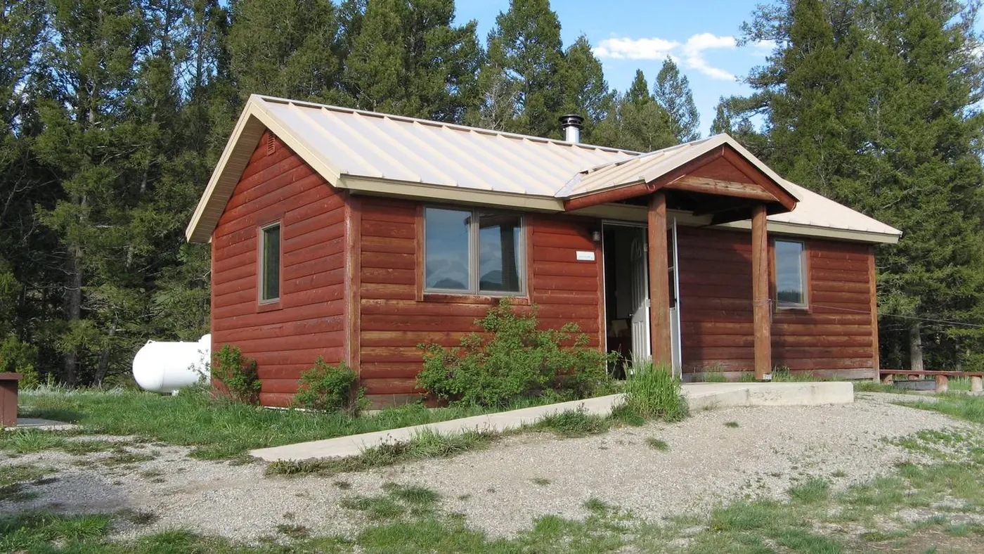
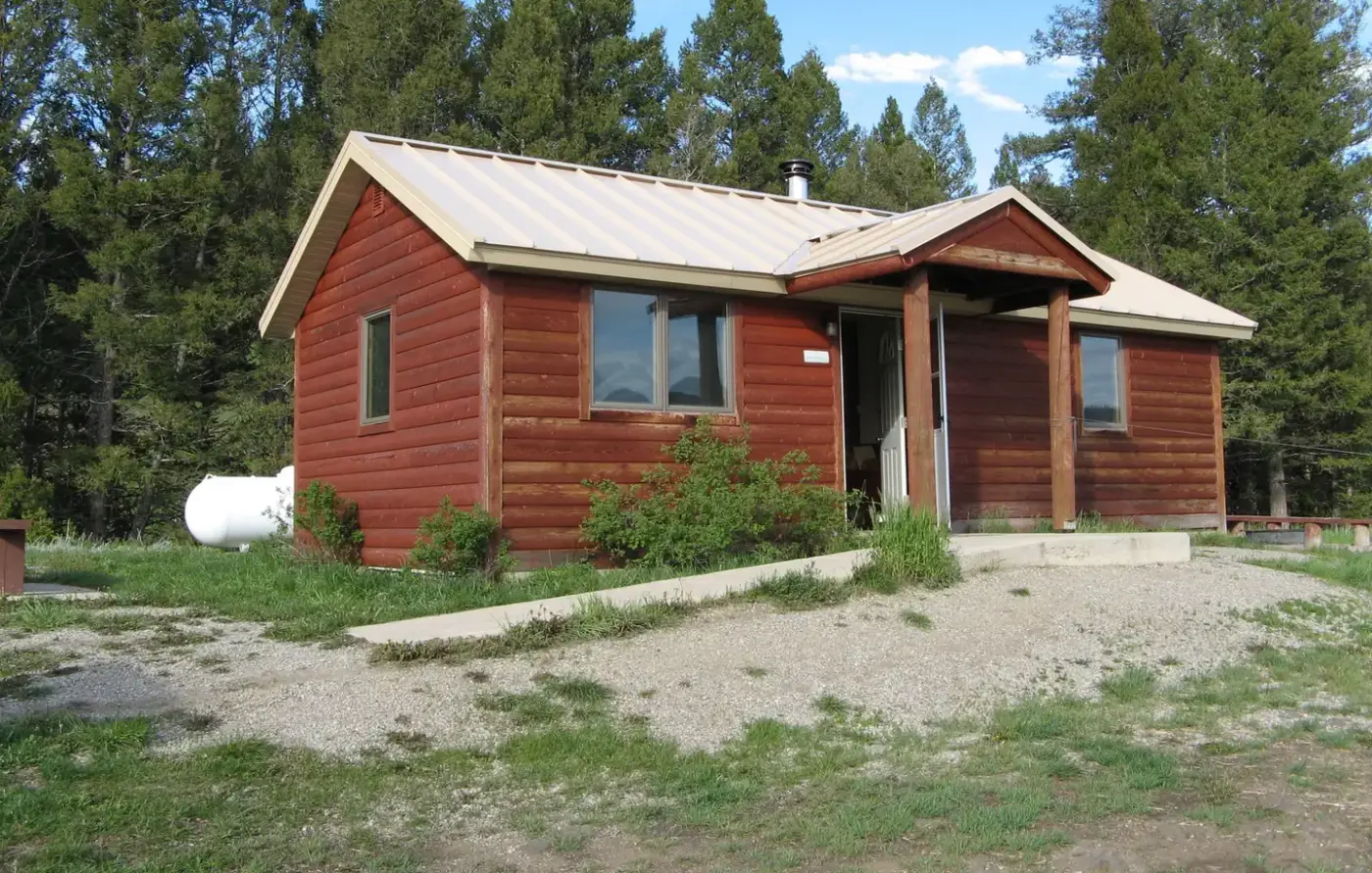
The cabin on Calf Creek
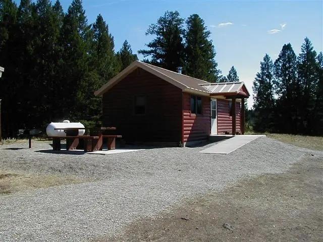
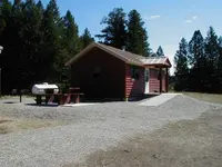
Road 119 leaves US Highway 89 and runs west 9 miles to a rustic cabin on Calf Creek, at 5,400 feet in the Little Belt Mountains. Dense conifer forest of fir, spruce and pine closes in around it. The Helena-Lewis and Clark National Forest rents the cabin by the night, $55, through Recreation.gov. Recreation.gov calls it the “newer rustic cabin.” The Forest Service page says it was “recently renovated.”
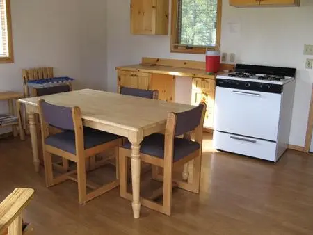
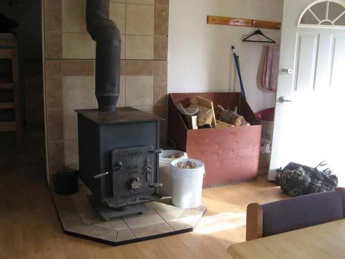
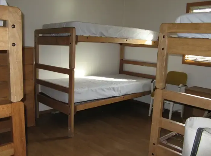
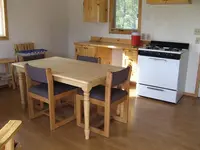
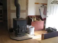
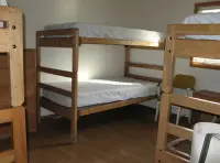
Inside are beds for six, a wood stove with firewood laid in, propane lights and a propane cooking stove, and pots, pans, dishes and utensils. There is no electricity, though the walls carry outlets, and guests may bring a generator to plug into the ordinary 110 connection. No water is piped in. Recreation.gov notes that the creek nearby provides fresh water, and both forest pages tell guests to bring their own. The supplied firewood is for the stove alone, never for a fire outdoors, and the wood box is to be left full for whoever comes next. Outside stand a hitching rack for horses and a vault toilet. Both the toilet and the cabin are wheelchair accessible. A camper or slide-in truck camper may park at the site for four more people, and the whole place holds ten at most.
Bears frequent the area, and all food must be stored so they cannot reach it. The two forest pages list different neighbors. The Forest Service page names black bears, white-tailed deer, bald eagles and grey wolves. Recreation.gov names mule deer, white-tailed deer, bald eagles, elk, bears and mountain lions. In Calf Creek itself are mountain whitefish and cutthroat, brook and rainbow trout. Groceries and gas are an hour south in White Sulphur Springs.
Winter on Road 119
From about December 1 to May 15 the last 7 miles of Road 119 are a groomed snowmobile trail, and no wheeled vehicle may use them. Guests in that season reach the cabin on skis, on snowshoes or by snowmobile. Snow can limit travel on the road through the end of May, and the ranger district in White Sulphur Springs asks visitors to call ahead about conditions. In the snow months the country around the cabin is used for cross-country skiing, snowshoeing and snowmobiling.
Up the East Fork to Tenderfoot
Horseback riders and hikers follow East Fork Calf Creek north from the cabin, climbing to Bubbling Springs in the Tenderfoot Creek Experimental Forest. The Forest Service set aside those 9,125 acres at the headwaters of Tenderfoot Creek in 1961. The aim was to study ways of cutting lodgepole pine that kept the soil in place and let more water run off. Apart from inventories of timber, soils and fuels, little research was done there until the late 1980s. The work then widened to take in fire history, fish, plants and animals. Ten flumes now measure the flow of Tenderfoot Creek and its sub-watersheds.
The experimental forest lies between 6,035 and 7,941 feet. Past glaciers there cut broad basins over arched bedrock of Cambrian argillites and quartzites, and streams in those basins are beginning to braid again. According to the research station, freezing temperatures and snow can come in any month of the year anywhere in the Little Belt range.
Quarries, tepee rings and mining camps
The Little Belts are the largest of the isolated island ranges of central Montana. The range measures about sixty miles in one direction and thirty across, ringed by treeless foothills of prairie and sagebrush steppe. Bands of limestone bluffs break the evergreen forest, and streams have cut exposed escarpments and palisades.
The Forest Service writes that first peoples used this country from the time they came into this part of North America. They quarried stone for tools and weapons such as projectile points, made art on rock shelters and overhangs, and left the rings of rock that held down their tepees. Euro-Americans arrived quickly once travel on the Missouri River was established and rich mineral deposits were found. Mining camps rose and vanished, among them Galena, Summit, Silver Dyke, Carbonate and Hughesville. Homesteaders followed, then timber cutting. Old mining tools and works still turn up throughout the range, and fire lookouts stand in various places and states of repair.
Notable Events
- 1961The Forest Service established the Tenderfoot Creek Experimental Forest to investigate lodgepole pine harvesting techniques that maintained soil stability while increasing water yield. research.fs.usda.gov