Black Spring obsidian collecting
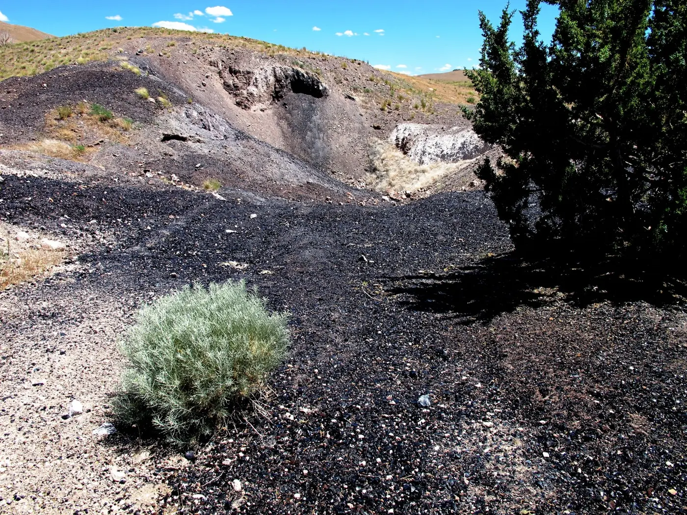
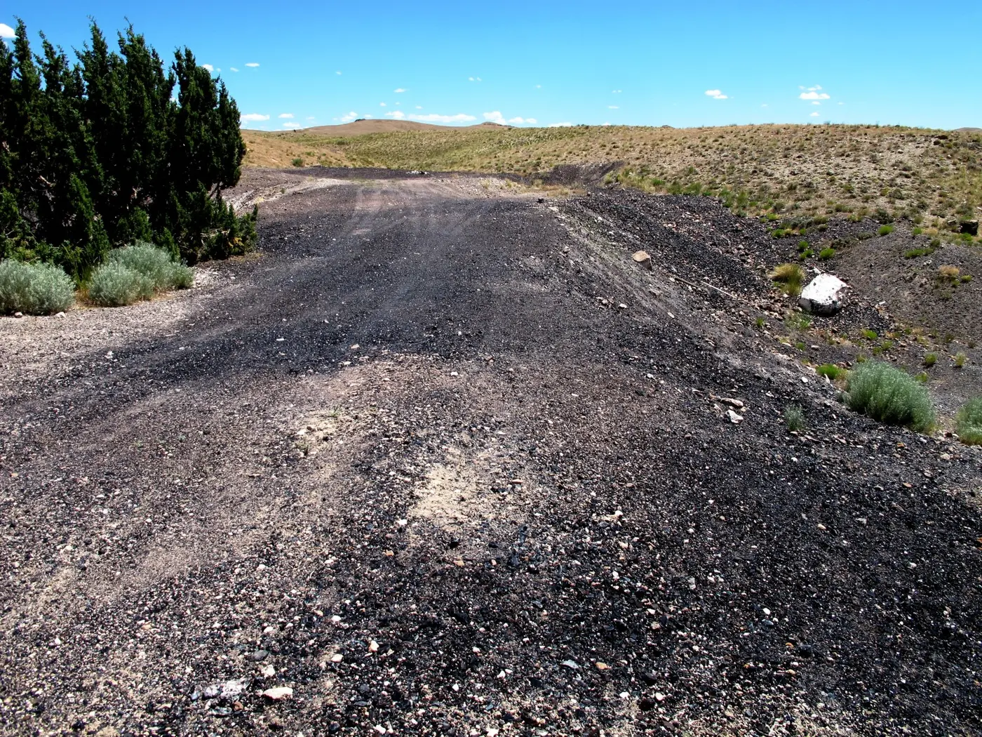
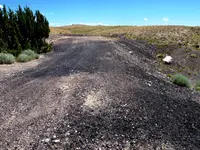
Black Rock Desert, Millard County, Utah. Obsidian collecting area.
Details
- Where
- Black Rock Desert, Millard County, UT. No street address stated. Directions
- Getting there
- From the west edge of Delta, Utah, travel west on U.S. Highway 6/50 about 4.3 miles to the State Highway 257 junction. Turn south on highway 257 and travel approximately 43 miles to a BLM sign displaying 'Kanosh 26' and a dirt road heading east. Turn east onto the dirt road and travel about 6 miles to the sign for Black Spring. Turn right onto the Black Spring dirt road and park in the open area across from the watering trough.
- Fees
- Free collecting on BLM public lands.
- Access
- A fourwheel-drive vehicle is recommended but not required for travel on unimproved roads. Do not collect on marked claims. Bring a rock hammer and protective eyewear if you intend to break pieces of rock. A hat and water are recommended. Watch for rattlesnakes and cattle. Please carry out your trash. Black Spring is on BLM public lands but school trust land and private land are nearby; do not collect on private land or marked claims.
- Website
- geology.utah.gov
- Managed by
- Bureau of Land Management, Utah; collecting ground.
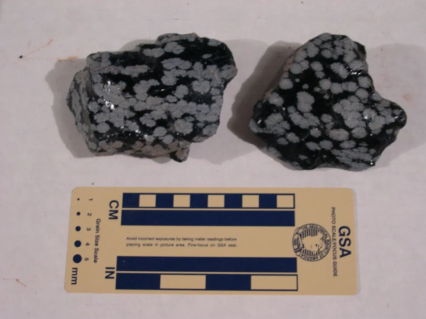
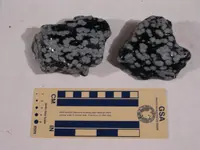
Approximately 2.5 million years ago (late Tertiary Period), volcanic eruptions in the Black Spring area of the Black Rock Desert in western Utah spewed out the volcanic rocks rhyolite, pumice, and obsidian. Obsidian is a dark-colored volcanic glass formed when molten lava cools quickly. It is usually black but colored varieties range from brown to red. Snowflake obsidian, a black obsidian with whitish-gray spots (spherulites) of radiating needle-shaped cristobalite (high-temperature quartz) crystals, is also found in the Black Rock Desert.