Big Bend of the Colorado State Recreation Area
Laughlin, Clark County, Nevada. State Recreation Area.
Details

- Where
- 4220 So. Needles Hwy. #3, Laughlin, NV 89029. Directions
- When
- Park: vary by season, see below. Campground: always open - available by reservation.
- Season
- Park hours vary by season: January & February 7 a.m.-5 p.m.; March-May 7 a.m.-6 p.m.; June-August 7 a.m.-7 p.m.; September & October 7 a.m.-6 p.m.; November & December 7 a.m.-5 p.m.
- Fees
- $10.00 ($15.00 for Non-NV Vehicles).
- Access
- Day Use Reservations are required for daily access before 11:30am from May 15 - September 15. After 11:30am, remaining spots will be available on a first come, first served basis.
- Walk-in or reserve
- Day Use Reservations are required for daily access before 11:30am from May 15 - September 15.
- Phone
- 702-298-1859
- Managed by
- Nevada State Parks.
- Established
- 1996.
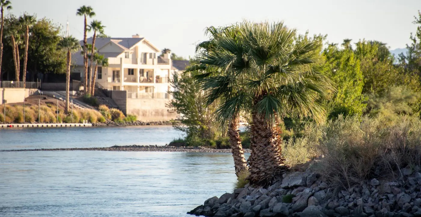
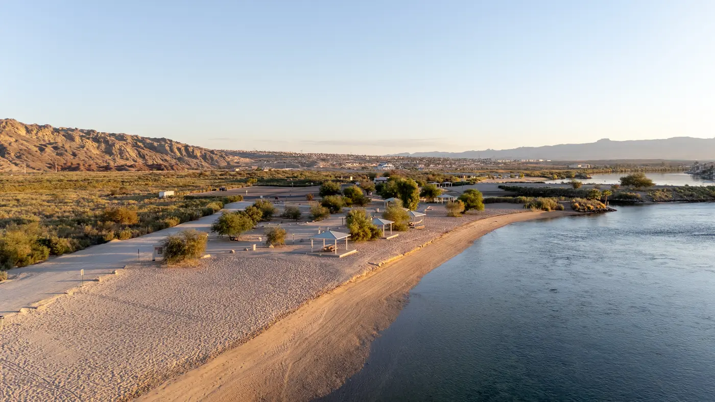
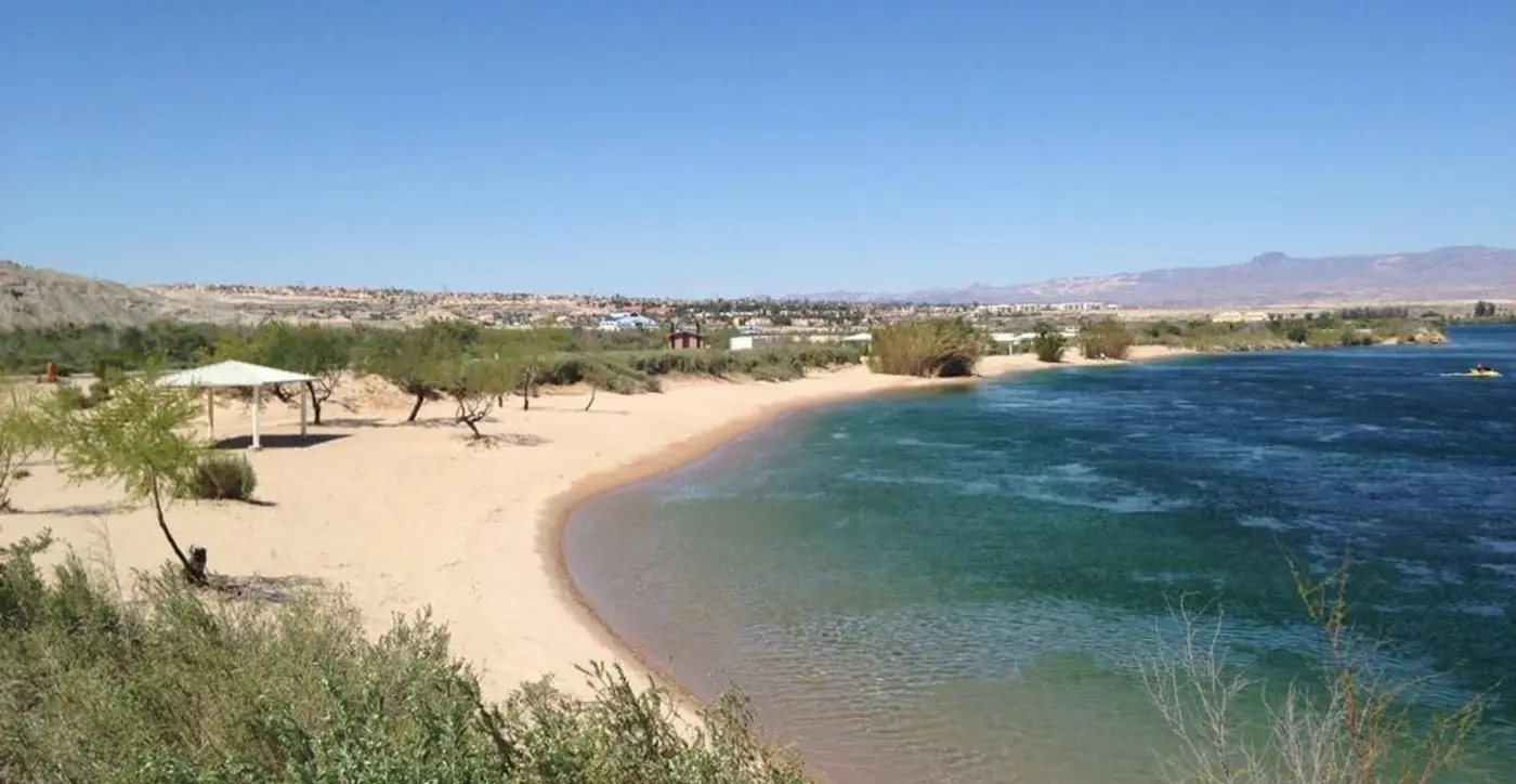
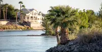
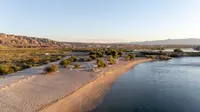
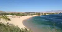
The Colorado comes past Big Bend “dark green, cold and majestic,” as Margo Bartlett Pesek wrote in the Las Vegas Review-Journal in 2013, swirling with currents from its run out of Lake Mohave through the hydroelectric works at Davis Dam. Nevada State Parks says it more plainly: because the park sits just downstream of the dam, the river here is clear and cool year round. About two miles of sandy shore follow it at the southern tip of Nevada. Across the water, Bullhead City, Arizona, spreads along the bank and climbs into the foothills. The state travel site says the park is named for its setting, on “an actual big bend in the river,” which opens views of Bullhead City and the mountains around it.
The entrance is on the Needles Highway. Pesek placed it on the left side of the road one mile south of Laughlin’s Casino Drive. Travel Nevada gives the distance as eight miles from downtown Laughlin. In Pesek’s account, the town’s resorts, commercial centers and housing lie out of sight upstream.
The beach, the lagoon and the main channel
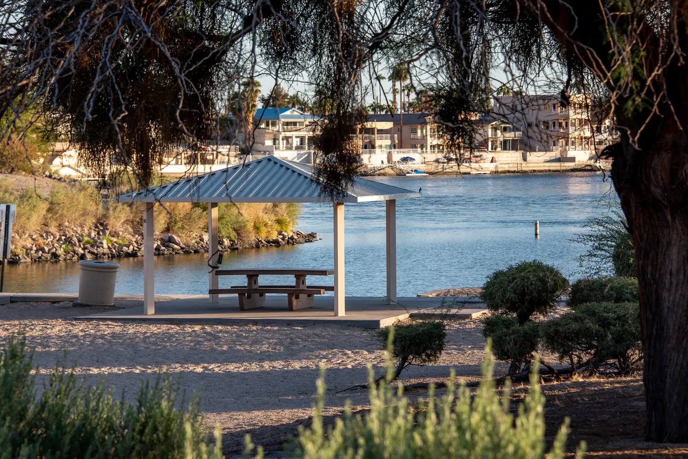
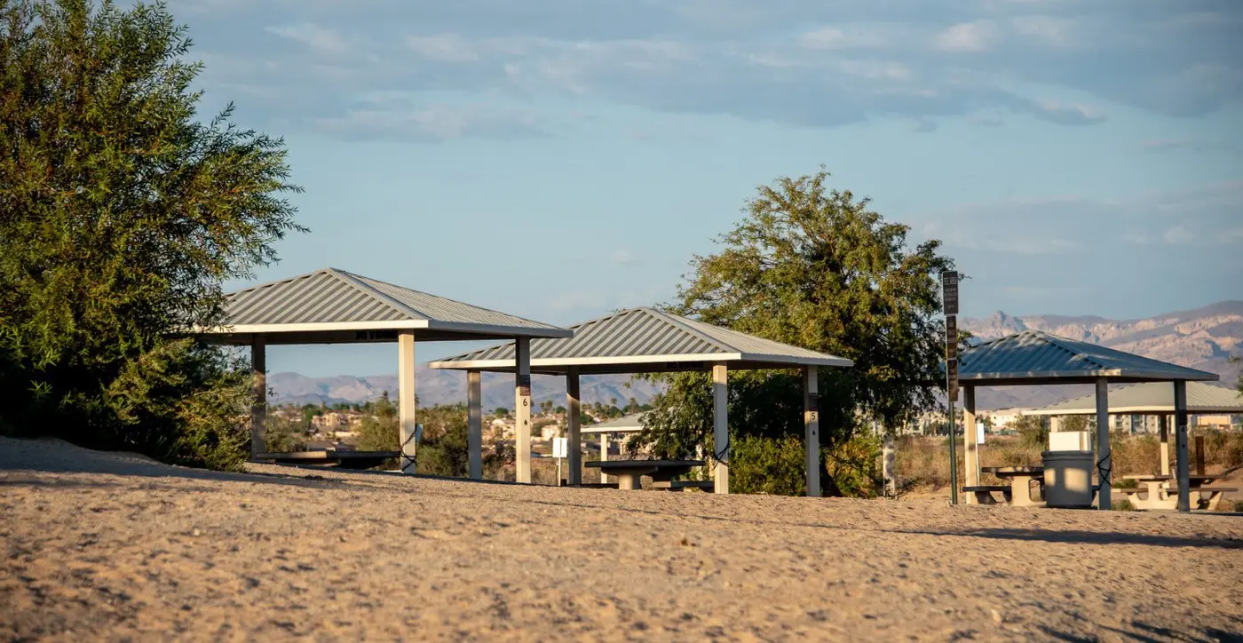
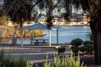
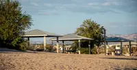
Nevada Magazine’s 2017 report found the shoreline dotted with covered shelters, picnic benches, horseshoe pits and sandy beaches. The concrete paths to the shelters were wide, the beach parking lot was large, and rubber mats occasionally snaked down toward the water. Some of the shade ramadas along the shore have tables and barbecue grills. Charcoal and glass are not allowed in the day-use area. On weekends in June, July and August the lots are often full from 11 a.m. to 4 p.m. From May 15 to September 15, entry before 11:30 a.m. requires a day-use reservation.
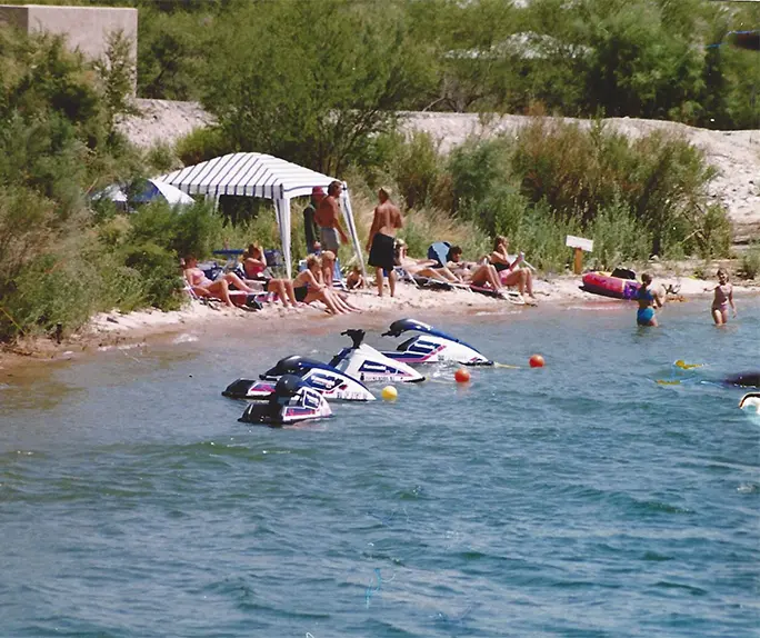
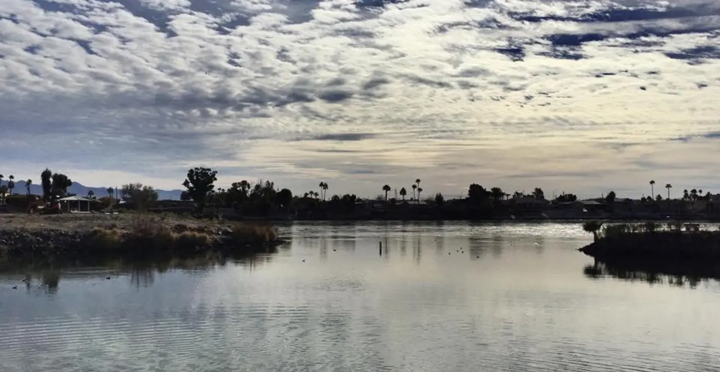
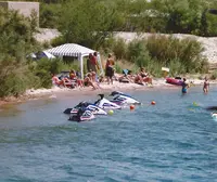
Deborah Wall, writing in the Review-Journal in 2017, judged the swimming good because areas set off from the main channel give safety from the strong current. A man-made lagoon shelters the two-lane boat ramp from that current. Inside it, boats may not raise a wake or exceed 5 miles an hour. On the main channel, Pesek counted fishing boats, pleasure craft, canoes, kayaks, personal watercraft and tourist cruise boats. Wall noted speedboats and jet skis there, and shallow backwaters along the banks suited to close inspection by kayak or canoe. Boating and fishing on this stretch of the Colorado are regulated by Nevada, Arizona and California.
Mesquite, washes and the canyons west of the highway
Behind the beach, most of the park is canyons and washes. Tamarisk and mesquite are the predominant trees, and Wall described much of the ground away from the water as forested with them. She called the tamarisk invasive. Several species of cactus grow among them.
Wall described great blue herons walking the shoreline after an easy snack and hawks soaring over the canyons to the west. She also watched phainopepla seek out the bright red berries of desert mistletoe, a parasitic plant that grows thick in the mesquite. Nevada Magazine watched roadrunners compete with quail for mesquite beans while waterfowl looked on. The park’s own list adds mallards, coots, geese, hummingbirds, doves and owls. Mammals include cottontail, fox, raccoon, beaver, muskrat and coyote, with an occasional bobcat or bighorn sheep. Lizards and snakes live in the park, and now and then a turtle appears by the river. Pesek advised walking quietly early or late in the day, and noted that tracks in damp ground may be the only record the more elusive animals leave. The park is one stop on an 80-mile self-guided driving trail between Henderson and Laughlin, listed by the Southern Nevada Birding and Wildlife Trails Partnership.
About four miles of trail run through the developed area. Wall described them as ranging from the paved 0.2-mile Riverside Loop to the 1.4-mile Big Sandy Loop on natural sand. West of the Needles Highway, across from the entrance station, the canyons have no established trails. Pesek wrote that the lay of the land and old off-road tracks set the routes there, and that off-road vehicles are prohibited. Wall thought a hiker might see desert bighorn.
The elevation is only 500 feet or so. Wall put the park 5 to 10 degrees warmer than Las Vegas and recommended late winter or early spring, with highs in the 70s and low 80s. Summer temperatures can reach 120 degrees and above. Winters rarely drop below freezing, and the infrequent rain can bring flash floods. Pesek warned that unless a stiff breeze is blowing, gnats and black flies come out, especially in spring and early summer.
Two weeks on the campground loop
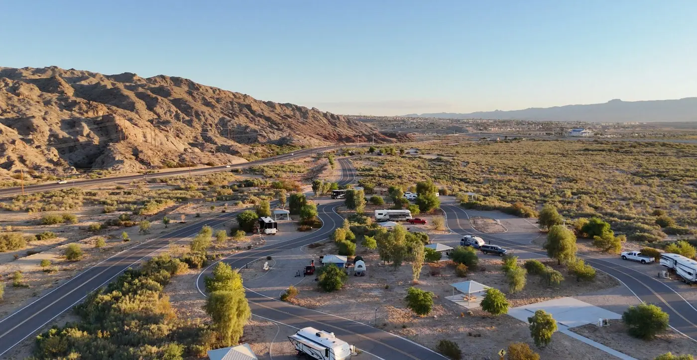
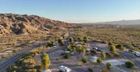
The 24-unit campground opened in 2008, set back from the water. Each site has water, electric and sewer hookups, a tent pad, a shade ramada, a barbecue grill and a fire pit. Three are equipped for visitors with ADA permits. Most are pull-through, and Nevada Magazine gave their length as room for RVs up to 60 feet. Behind the loop are eight more sites with a fire ring, picnic table and shade structure, kept first come, first served. When the campground was new, Pesek reported that all sites were first-come with a 14-day limit. The state now lists the loop sites by reservation, with stays limited to 14 days in any 30-day period. Nevada Magazine called it a favorite of Snowbirds escaping the winter chill.
It has local campers as well. When the magazine visited, Jim and Nikki Queen of Boulder City were set up for two weeks with Juan and Shirley Gomez, who had camped with them for decades. Jim brought a small freezer and made his own ice. “We love it here,” he said. “We’ve been to most of the state parks.” Nikki liked the room between sites: “We have everything we need, and you’re not on top of each other here.” Jim said a dirt trail could take you all the way to Boulder City. The four of them liked to take his quad, the “Pope Mobile,” out into the surrounding hills.
The couples gave one reason for coming back: Park Ranger Jonathan Brunjes, who ran programs such as a Dutch oven Thanksgiving dinner. Program schedules are posted at kiosks or available from park staff.
From Melchor Diaz to the Riverside
Nevada State Parks says people have lived in southeastern Nevada for 13,000 years. It names the Mohave as the earliest inhabitants of the Colorado River Valley, their name translated as “people who live along the water.” They built dwellings above the floodplain and farmed near the river. Travel Nevada spells the name Mojave, dates their life along these shores to more than 10,000 years ago, and places them in the surrounding mountains, drawing on the river as a life source. Petroglyphs are found throughout the valley and within the recreation area.
Spanish explorer Melchor Diaz reached the area in 1540. In 1776 Francisco Garcés came looking for a path to the Pacific coast. He used four Mohave guides and crossed the river into present-day Nevada.
Travel Nevada says Laughlin was still a tiny community into the 1960s, with no casinos and no way to cross the river to Bullhead City. Then Don Laughlin opened his Riverside Resort. The state parks history dates his first casino to 1964, about six miles north of the recreation area. A town formed and took his name, and other casinos followed in the decades after.
The park itself traces to the Fort Mohave Land Act of 1960. The act began the transfer of 15,000 acres of federal land in the Laughlin Big Bend area to the Colorado River Commission of Nevada, which set aside 2,100 acres for a recreation area. In 1991 the commission passed those acres to the Nevada Division of State Parks, and the park opened in 1996. Its facilities were built in phases. The first work produced the lagoon with its safe river access, the boat launch, paved trailer parking, shaded picnic areas and restrooms. The campground followed in 2008. In 2009 the four miles of trail were completed, reaching the shoreline, the riparian areas and the adjacent state land.
Notable Events
- 1540Europeans began making contact with area natives as early as 1540 when Spanish explorer Melchor Diaz traveled to the area. parks.nv.gov
- 1776Explorer Francisco Garces traveled to the area in search of a path to the Pacific coast, used four Mohave guides, and crossed the river into present day Nevada. parks.nv.gov
- 1960The Fort Mohave Land Act initiated the transfer of 15,000 acres of federal land in the Laughlin Big Bend area to the Colorado River Commission of Nevada, of which 2,100 acres were set aside for the Big Bend of the Colorado State Recreation Area. parks.nv.gov
- 1964Don Laughlin opened the first casino in the area, about six miles north of the recreation area; over time a town bearing his name was established. parks.nv.gov
- 1991In 1991 the Colorado River Commission transferred the 2,100 acres to the Nevada Division of State Parks, leading to the park's establishment and opening in 1996. parks.nv.gov
- 1996Facilities at the recreation area, which opened in 1996, continued to be developed in phases, and early development created a man-made lagoon with safe river access and a boat launch area. neon.reviewjournal.com
- 1996The 1991 transfer led to the establishment and opening of Big Bend of the Colorado State Recreation Area in 1996. parks.nv.gov
- 1996The Review-Journal outdoors column says the park was established in 1996, on the Colorado River south of Laughlin's Casino Drive. reviewjournal.com
- 2008A 24-unit campground opened in 2008 at the recreation area, offering sites on a first-come basis with a 14-day limit. neon.reviewjournal.com
- 2009In 2009, four miles of hiking trails in the developed area were completed, giving access to shoreline and riparian areas and to adjacent parts of the state land. neon.reviewjournal.com
People
- Don Laughlin, opened his Riverside Resort in what was then a tiny riverside community, after which a town formed and was named in his honor (1960s).
- Francisco Garcés, explorer who used four Mohave guides and crossed the river into present day Nevada (1776).
- Melchor Diaz, Spanish explorer who traveled to the area (1540).
- Mohave, the earliest inhabitants of the Colorado River Valley; their name has been translated to mean people who live along the water (have lived in southeastern Nevada for the past 13,000 years).