
Beebe Bridge State Park
Orondo, Douglas County, Washington. State park; Year round.
Details

- Where
- 23459 SR97, Orondo, WA 23459. Directions
- When
- Dawn - Dusk year round.
- Getting there
- 34 miles north of Wenatchee via Highway 97; 4 miles east of Chelan via Highway 150 (23459 SR97, Orondo, WA 98843).
- Fees
- Discover pass: Annual Pass $45, One-day Pass $10; Watercraft Launch Fee $7 for the day; Trailer Dump Fee $5 per use; Overnight Unattended Vehicle Fee $10 per night.
- Access
- A Chelan PUD's Day-Use Parking Pass is accepted in lieu of a Discover Pass for Chelan PUD customers.
- Walk-in or reserve
- Reservations for picnic shelters and day-use facilities can be made for the 2026 season when the park goes live on the State Parks Reservation service.
- Phone
- 509-436-1985
- Managed by
- Washington State Parks.
- Coordinates
- 47.807878700071, -119.9734671492.
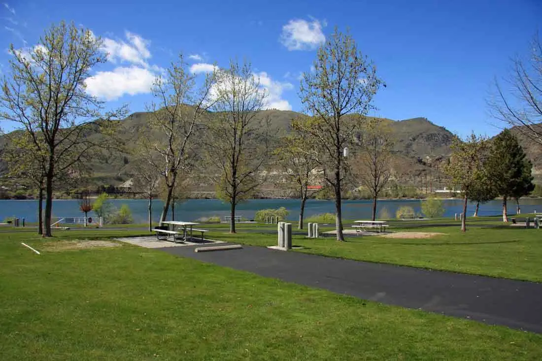
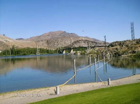
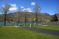
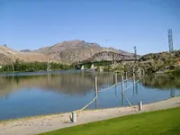
The first thing visible from the sandy beach at Beebe Bridge State Park is the bridge itself. It is a long steel span carrying US 97 over the Columbia River at the north end of the park. Beside it stand the concrete towers of an older bridge, which once carried irrigation water across the river. Swimmers in the designated swimming area look out on the dry, rugged mountains of Central Washington. The water is Lake Entiat, the reservoir held back by Rocky Reach Dam 30 miles downstream. The park lies 34 miles north of Wenatchee on Highway 97, or four miles east of Chelan by way of Highway 150.
A beach under the arch
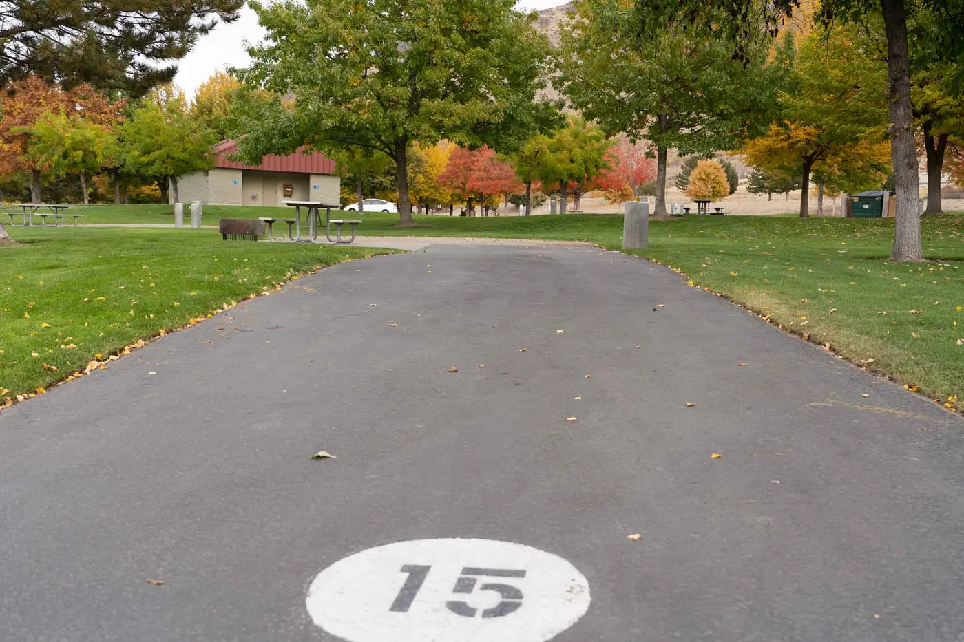
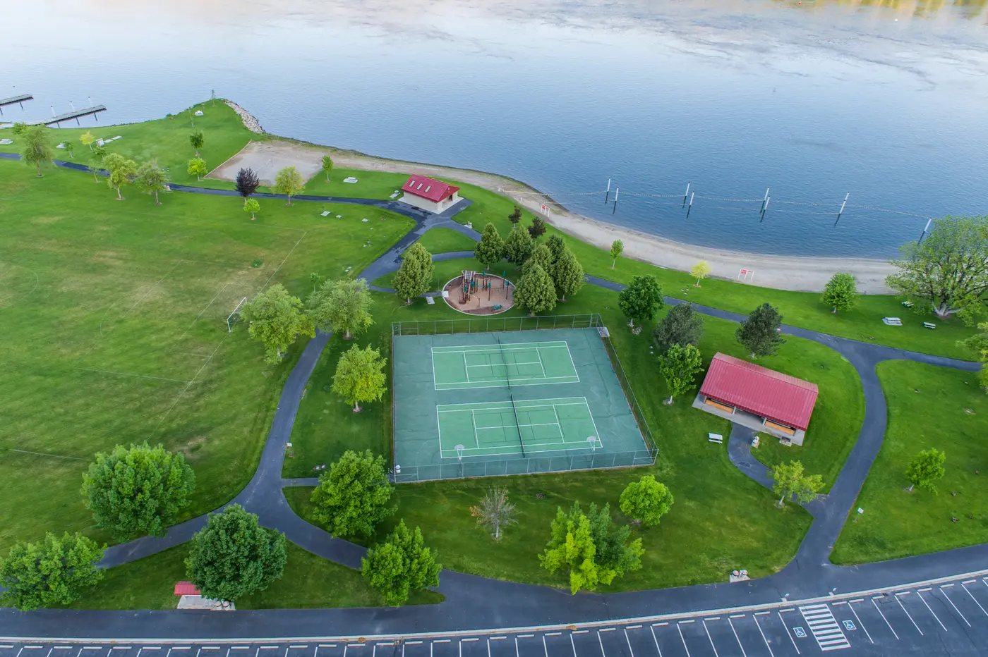
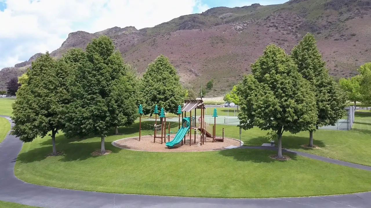
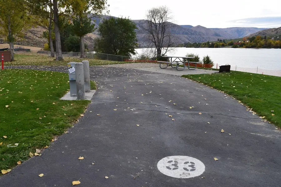
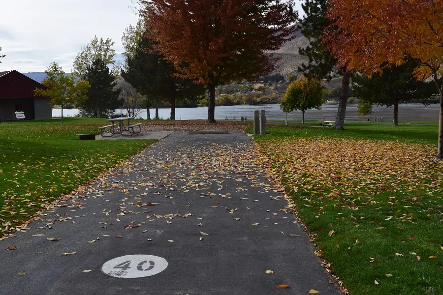
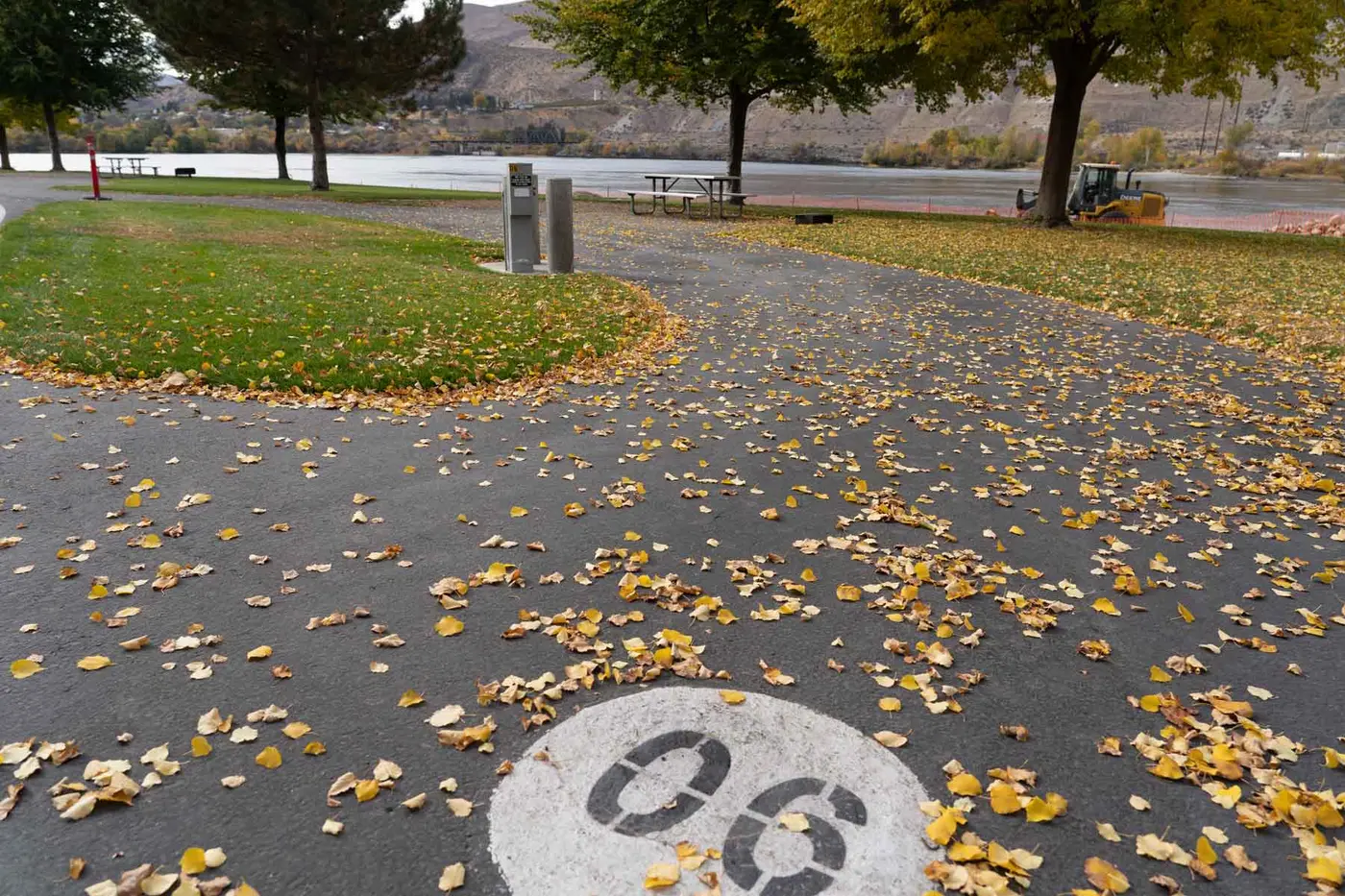
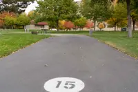
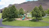
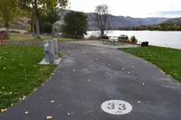
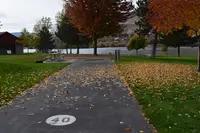
The park covers 56 acres of riverfront. A two-lane boat launch serves motorized craft, and three docks are used for fishing or for putting in kayaks and paddleboards. State Parks also lists windsurfing and bird watching among the activities here. The paved Shoreline Trail makes an easy .3-mile loop around the grounds along the water. There are tennis and pickleball courts, horseshoe pits, and ball fields, all open from April 15 through October 15. The campground keeps the same season. It has 46 tent and RV sites with electricity and water, 23 of them pull-through and 23 back-in, ranging from 30 to 90 feet. Picnic tables are scattered around the park. The covered shelter has electricity, water, a sink, and eight to ten tables, and the large barbecue grills outside hold about two regular bags of charcoal apiece.
Nathan Holth documented the highway bridge for HistoricBridges.org on August 21, 2014. He recorded a main span of 520 feet, an overall length of 1,227 feet, and a 26-foot roadway, with every built-up beam and connection riveted. He found the type hard to classify by eye. It looks much like a continuous truss with a suspended deck and also like a continuous through arch, and he settled on the arch. State Parks calls it a continuous-steel through-truss tied-arch. In 2009 a semi truck accident severely damaged a few of its members, which were quickly repaired and in a couple of cases replaced.
Chelan County Public Utility District built the park in the 1990s, and State Parks gives 2026 as the year it was established as a state park. Under a 2024 agreement, Washington State Parks began taking reservations on March 4, 2026. PUD staff reported 872 unique reservations made in the first 30 minutes. PUD crews continue to maintain the grounds while operations pass to the state through early 2028. “It really is a beautiful place to camp and enjoy the water,” said Josh Bell, State Parks Eastern Region Manager. Chelan PUD customers with a PUD parking pass still use the park and boat launch for free during the day. Shelter reservations are another matter. Under the PUD they had cost residents nothing. “There’s a consequence to our actions, and we went from a non-paying park for shelter for residents … to a state-run, which is a cost now,” PUD Commissioner Carnan Bergren said in April 2026. He noted that the change had pushed shelter use toward Chelan Falls and Powerhouse Park.
Chee Saw’s store
The park lies within the traditional territories of Interior Salish people. Their descendants today include members of the Confederated Tribes and Bands of the Yakama Nation and the Confederated Tribes of the Colville Reservation. In spring they left winter homes along the Columbia and Lake Chelan for seasonal rounds of gathering, hunting, and fishing. The river was their main road and their source of salmon. Some tribal representatives ceded the area under duress in the Yakima Treaty of Camp Stevens in 1855. The Columbia-Moses and Chelan people saw the Moses Reservation established by presidential order and later dissolved. An executive order signed by President Rutherford B. Hayes on July 4, 1884, allowed resident Indigenous people allotments of up to 640 acres on lands they occupied within the former reservation.
In the late 1850s a stream of miners came up the Columbia from California, most bound for British Columbia. Hundreds of them were Chinese placer miners who washed gold flakes from beaches and sandbars, and some worked claims between Wenatchee and Brewster. Around 1857 one of them, Chee Saw, opened a store on the ground the park occupies today. The historian Richard Steele described it:
It was built mainly of cedar boards split from the log, like shakes, pegged against upright posts, and roofed with logs and brush. It was the first business enterprise in the country; the proprietor was a Chinese merchant. To the Chinese workers along the river he supplied goods, and he made considerable money. A pack train of forty horses he owned with which he brought in his miscellaneous assortment of English, American and Chinese merchandise. It is stated that no stranger ever appeared at this store who was not made welcome by the old Chinese merchant.
Anti-Chinese riots broke out across Washington in the 1870s and 1880s. State Parks considers it likely that Chee Saw’s customers fled threatened or actual violence. On May 19, 1892, a Spokane newspaper reported that Chinese miners had been massacred near Chelan Falls in 1875. The story has persisted, though no credible documentation has ever been found. Chee Saw kept the store until about 1878, when he married a local Indigenous woman and moved with her to the northern Okanogan Valley. There the community of Chesaw took his name. Another Chinese merchant ran the store for a while after he left. The government survey completed in 1887 marks a “Chinese Store” at the site. The land then went by cash sale to Andrew Barron in 1891 and J. Howard Watson in 1892. By 1904 Steele could write that “now the placer fields of the past are owned by settlers, and are fast becoming beautiful orchards.”
A geyser across the river
The same survey map shows fields across the Columbia near the mouth of the Chelan River, lying below two springs. These were the farms of Cultus Jim and Chelan Bob. The springs had come from an earthquake, which struck at 9:40 p.m. on December 14, 1872, and brought down a massive rockfall from Ribbon Cliff and Earthquake Point, 15 miles downstream. Indigenous residents reported that across from today’s park “a great hole opened in the earth and a geyser was blown into the air 20 or 30 feet high. For weeks Indians came from all over the country to watch this geyser. It continued all winter but got weaker and weaker until by summer it was just a spring.”
Cultus Jim and Chelan Bob put the spring water on their fields. A county auditor recorded that between them they raised over 40 tons of hay a year. In 1889 Alfred W. LaChapelle, an immigrant from Canada, tried to claim their farms under the Homestead Act. He argued that they had never received legal allotments, and at his request both men were arrested for “trespassing” in their own homes. The Bureau of Indian Affairs took up their defense. In May 1897 the Ninth Circuit Court of Appeals granted them allotments held in trust under the Hayes order. Chelan Bob died in 1912. In 1923 part of Cultus Jim’s allotment was sold to the Wenatchee-Beebe Orchard Company, a sale that required the signature of President Warren G. Harding. The springs later fed the Chelan State Hatchery. It now raises more than a million rainbow, brook, brown, cutthroat, and tiger trout, along with kokanee, each year for stocking the region’s lakes.
A bridge built to carry water
James Beebe came to Washington from Massachusetts in the 1910s and built up the Wenatchee-Beebe Orchard Company. He acquired rights to part of the flow from the springs, which came to bear his name, and used it to water apple orchards. The company had its own town, with a post office from 1912 to 1947. In 1914 the Great Northern spur reached Chelan Falls and opened a wider market for the fruit, and the company planned to plant across the river on the present park land. Getting water there required a bridge. On February 28, 1919, President Woodrow Wilson approved a law granting the company the consent of Congress to bridge the Columbia “at or within 4 miles northerly from the town of Chelan Falls.”
The sources disagree on when the bridge opened. HistoricBridges.org says the company built its suspension bridge in 1919. The Northwest Power and Conservation Council says it opened to the public as a toll bridge that year, replacing a ferry. State Parks puts the opening in October 1920 and the cost at $75,000. By State Parks’ account it was the first large suspension bridge built in Washington and, purportedly, the largest privately owned bridge in the world at the time. Two 12-inch flumes carried spring water across it. Tolls charged for travel over its 12-foot deck paid part of the cost. The water lines came out in 1926 as other sources were developed, but the toll bridge stayed in service until 1963.
Work on its replacement began in 1959, just north of the old crossing. State Parks credits the Washington State Department of Transportation and the Council credits the Department of Highways. The piers were finished before the rising reservoir covered their footings. State Parks dates the opening to June 1963 at a cost of $1,120,000. HistoricBridges.org gives 1962 as the construction date. The wooden suspension bridge was dismantled, and its concrete supports were left standing.
Rocky Reach and Beebe Springs
The rising water came from Rocky Reach Dam. Chelan County PUD began building it in 1956. Its first seven generating units came online on November 1, 1961, and four more on December 1, 1971. Before the dam this stretch of the Columbia had sandbars, backwater channels, and water of widely varying depth and speed. Lake Entiat, nearly 9,000 acres, is a shallower and more uniform reach with less wildlife habitat. The Federal Energy Regulatory Commission’s license for the dam required the PUD to “arrange for the construction, maintenance and operation of recreational facilities,” and Beebe Bridge Park was the result.
North of the bridge, the Washington Department of Fish and Wildlife bought 162 acres of former Beebe orchards in 2003. The purchase secured the hatchery’s water rights and took ground that had been farmed hard for nearly a century. In 2013, after years of restoration, it became the Beebe Springs Natural Area. Shrub-steppe, streamside, and wetland plants were put back, and fish habitat was rebuilt along Beebe Creek, which flows from the springs. Spawning spring steelhead and fall coho and Chinook salmon have returned to it.
Notable Events
- 1857Chee Saw established a store on the site of today's Beebe Bridge State Park around 1857, to serve miners working in the area. parks.wa.gov
- 1872A powerful earthquake at 9:40 pm on December 14, 1872 jolted the area of today's park and caused a massive rockfall from Ribbon Cliff and Earthquake Point, 15 miles downstream. parks.wa.gov
- 1878Chee Saw operated the store until about 1878, when he married and moved with his local Indigenous wife to the northern Okanogan Valley. parks.wa.gov
- 1887Government surveys were completed in 1887, opening the way for land transfers to American settlers; the map shows a Chinese Store at the location of today's park. parks.wa.gov
- 1891The land in today's park passed into private ownership as cash sales, first to Andrew Barron in 1891. parks.wa.gov
- 1912The Wenatchee-Beebe Orchard Company's operation included a company town that had its own post office from 1912 to 1947. parks.wa.gov
- 1914When the Great Northern Railroad spur was completed to Chelan Falls in 1914, the Beebe Orchards made plans to expand across the river into the area of today's park. parks.wa.gov
- 1919The bridge opened to the public as a toll bridge in 1919, replacing a ferry. nwcouncil.org
- 1919On February 28, 1919, President Woodrow Wilson approved a law granting the consent of Congress to Wenatchee-Beebe Orchard Company to construct a bridge across the Columbia River. parks.wa.gov
- 1920Beebe Bridge, the first large suspension bridge built in Washington, opened in October 1920 at a cost of $75,000, carrying irrigation water in two 12-inch flumes; purportedly the largest privately-owned bridge in the world at the time. parks.wa.gov
- 1926The water lines were removed in 1926 as other water sources were developed, but the toll bridge continued in use until 1963. parks.wa.gov
- 1956Chelan County Public Utility District oversaw construction of Rocky Reach Dam beginning in 1956; its first seven generating units came online on November 1, 1961. parks.wa.gov
- 1959In 1959, the Washington State Department of Transportation began construction of the present continuous-steel through-truss tied-arch Beebe Bridge on US 97; the piers were completed before Lake Entiat rose behind Rocky Reach Dam. parks.wa.gov
- 1962The Beebe Orchard Company built the first bridge at this location, which was a suspension bridge, in 1919; the concrete towers of this suspension bridge remain next to the current bridge. historicbridges.org
- 1963The Washington Department of Highways built a new bridge immediately north of the old one; the new Highway 97 bridge was completed in 1963. nwcouncil.org
- 1963The new bridge opened to traffic in June 1963 at a cost of $1,120,000; the old wood suspension bridge was dismantled, though the original concrete supports are still in place. parks.wa.gov
- 1990sRequired by the Federal Energy Regulatory Commission to arrange for recreational facilities under the Rocky Reach Dam license, Chelan County PUD developed Beebe Bridge Park in the 1990s. parks.wa.gov
- 2003In 2003, the Washington Department of Fish and Wildlife acquired 162 acres of former Beebe orchards north of Beebe Bridge, securing water rights for the Chelan Hatchery. parks.wa.gov
- 2009In 2009, a semi truck accident severely damaged a few members of the bridge, which were quickly repaired, including replacement of a couple members. historicbridges.org
- 2013Years of planning and restoration resulted in the establishment of the Beebe Springs Natural Area on the property in 2013. parks.wa.gov
- 2024In 2024, the Washington State Parks and Recreation Commission entered into an agreement with Chelan County PUD to begin managing camping reservations for the park in 2026 and transition to full operation by 2028. parks.wa.gov
- 2026State Parks would manage bookings while Chelan PUD continued park maintenance through early 2028, gradually shifting operations in partnership with the state. ncw.news
People
- Josh Bell, State Parks Eastern Region Manager welcoming Beebe Bridge into the State Parks system.
- Ryan Baker, Chelan PUD Parks Manager, speaking about the State Parks partnership and Beebe Bridge transition.
- Carnan Bergren, PUD commissioner commenting on the change to paid Beebe shelter reservations and its effects on residents.
- Andrew Barron, Cash-sale purchaser of land in today's park (1891).
- Chee Saw, Chinese immigrant merchant who established a store on the site of today's park to serve miners working in the area (operated the store at the site until about 1878).
- J. Howard Watson, Cash-sale purchaser of land in today's park (1892).
- James Beebe, Founder of the Wenatchee-Beebe Orchard Company; the springs, the bridge, and the park carry his name (arrived in Washington from Massachusetts in the 1910s).
- Woodrow Wilson, President who approved the law consenting to the orchard company's Columbia River bridge (February 28, 1919).
Sources
- chelanpud.org/about-us/news/2026/01/27/beebe-bridge-reservations-moving-to-washington-state-parks
- nwcouncil.org/reports/columbia-river-history/bridges
- ncw.news/stories/chelan-pud-partners-with-state-parks-on-beebe-bridge-reservations,165751
- lakechelanmirror.com/stories/chelan-area-parks-see-shifting-use-as-upgrades-demand-continue,171834
- parks.wa.gov/about/news-center/field-guide-blog/beebe-bridge-state-park-history
- historicbridges.org/bridges/browser?bridgebrowser=washington%2Fbeebebridge%2F